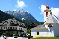
Alpine pasture hike from Ferrara di Braies di Dentro to the Brusada Hut at almost 1,900 metres above Valdaora
Image gallery: Hike in the Braies Valley to the Malga Brusada
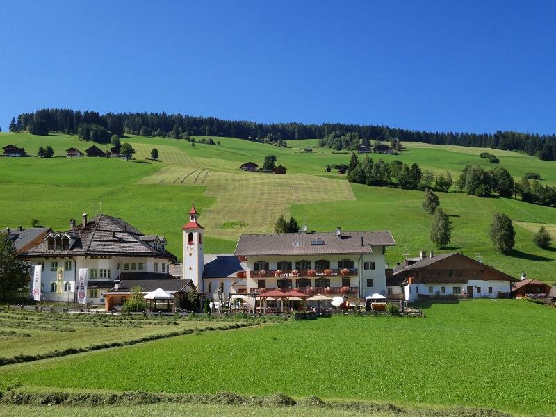
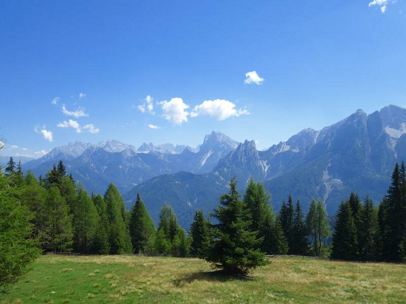
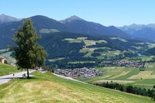
The alpine meadows of the Brusada Hut (Brunst Alm) lie on the mountain ridge between Valdaora and the Valle di Braies valley. Our hike starts in Ferrara di Braies di Dentro.
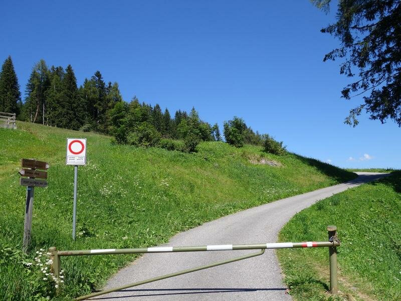
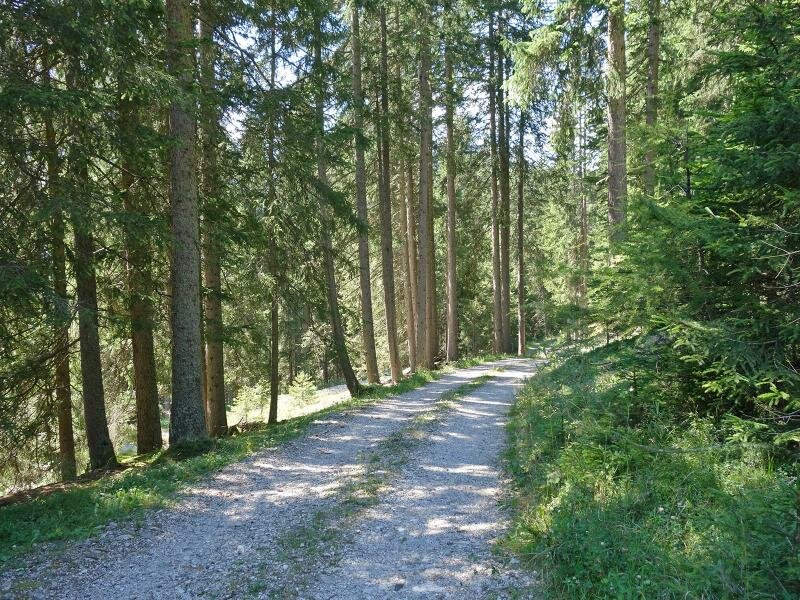
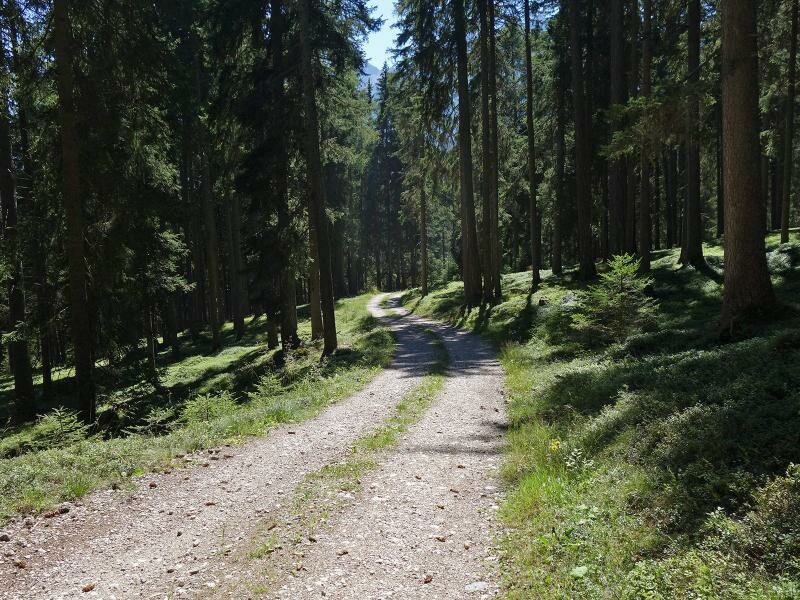
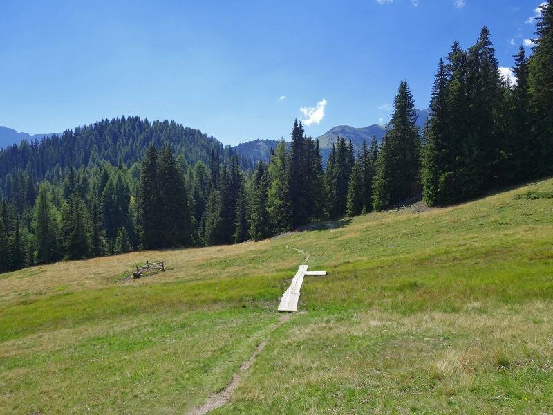
Trail no. 2 begins near the church and crosses the Rio di Braies stream before heading up the slope. The asphalted road winds through the meadows until it reaches the forest, where it gives way to a gravel forestry road. Here we follow trail no. 35A. The path leads us gently upwards through the coniferous forest for quite some time.
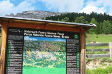
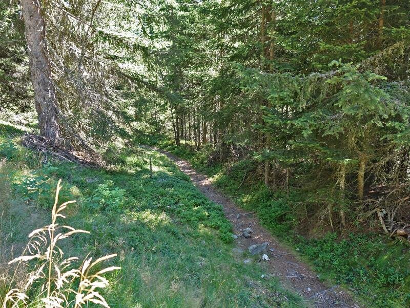
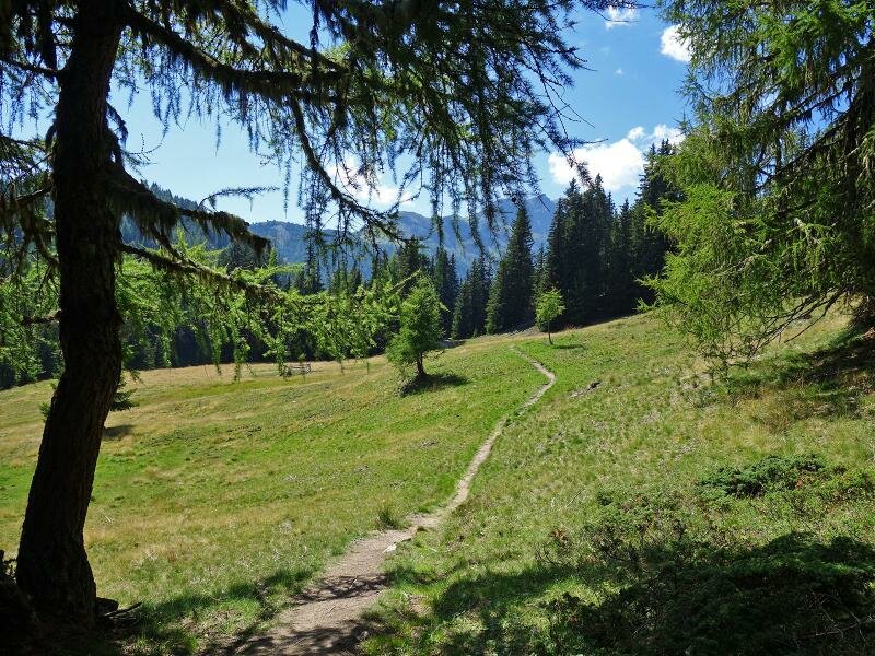
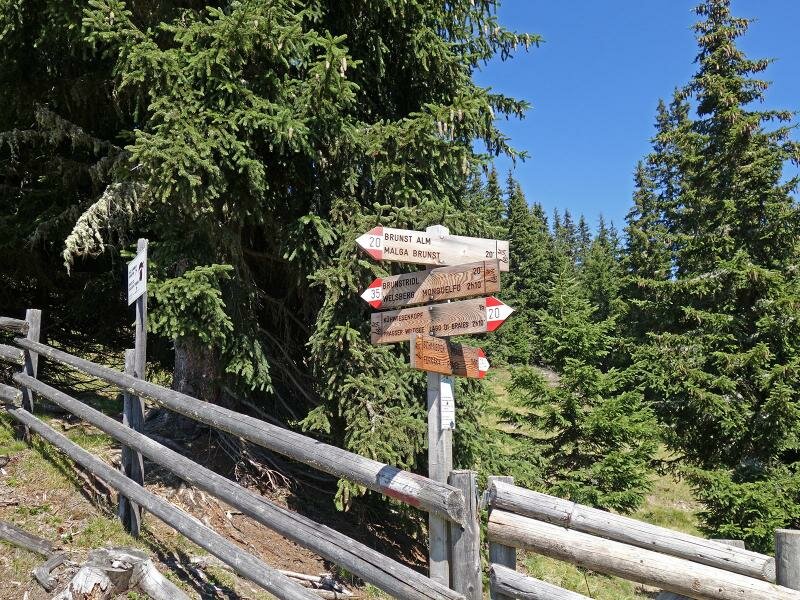
Near the highest point of our hike, at 1,936 metres above sea level, the forestry road merges into a woodland path. It soon transitions into an open meadow. At the fence on the municipal border with Valdaora, we enter the Fanes-Senes-Braies Nature Park. We then walk gently downhill for a short distance on a gravel track until we reach our destination.
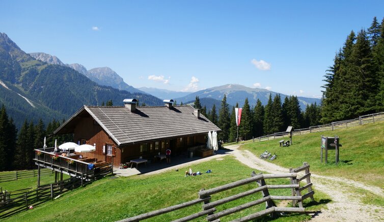
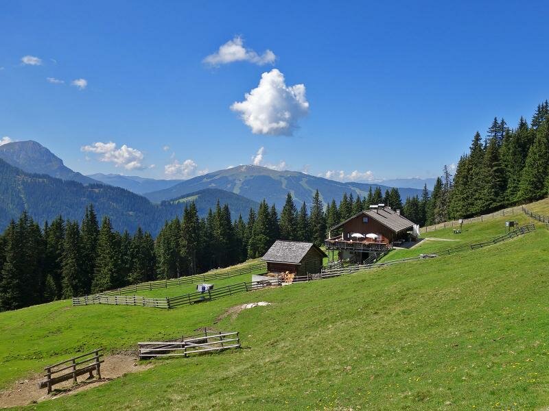
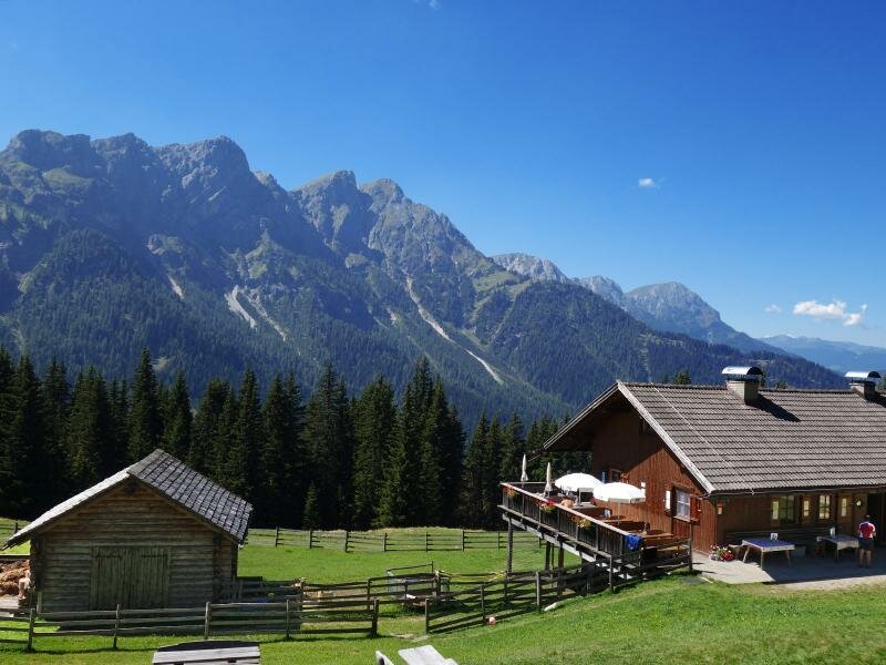
This is the inviting Brusada Hut at 1,898 metres above sea level. The hut serves local dishes at lunchtime from May to September. We return along the same route for our descent.
Author: AT
Experienced: August 2016
Last updated: 2026
-
- Starting point:
- Ferrara di Braies di Dentro (1,225 m a.s.l.)
-
- Overall time:
- 04:50 h
-
- Total route length:
- 14,8 km
-
- Altitude:
- from 1.225 m to 1.936 m
-
- Altitude difference (uphill | downhill):
- +774 m | -774 m
-
- Signposts:
- no. 2, 35A, 20
-
- Destination:
- Brusada Hut (1,898 m a.s.l.)
-
- Resting points:
- Brusada Hut (May to September)
-
- Recommended time of year:
- Jan Feb Mar Apr May Jun Jul Aug Sep Oct Nov Dec
-
- Download GPX track:
- Hike in the Braies Valley to the Malga Brusada
-
- More information:
- The total time indicated above refers to the walking time only, excluding breaks.
If you want to undertake this hike, we recommend checking the weather and trail conditions in advance and on site before starting this hike!