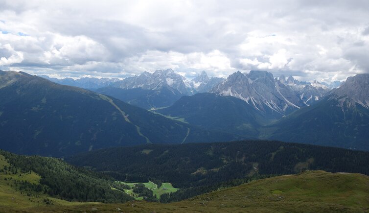
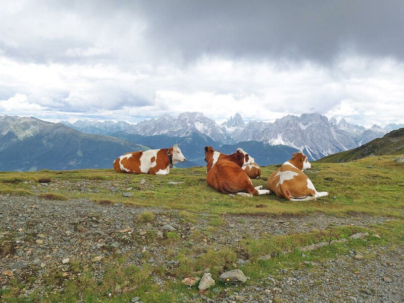
The panoramic mountain treats hikers to a stunning view on the surrounding mountains, such as the High Tauern and the Dolomites
Image gallery: Hike Malga San Silvestro and Cornetto di Confine
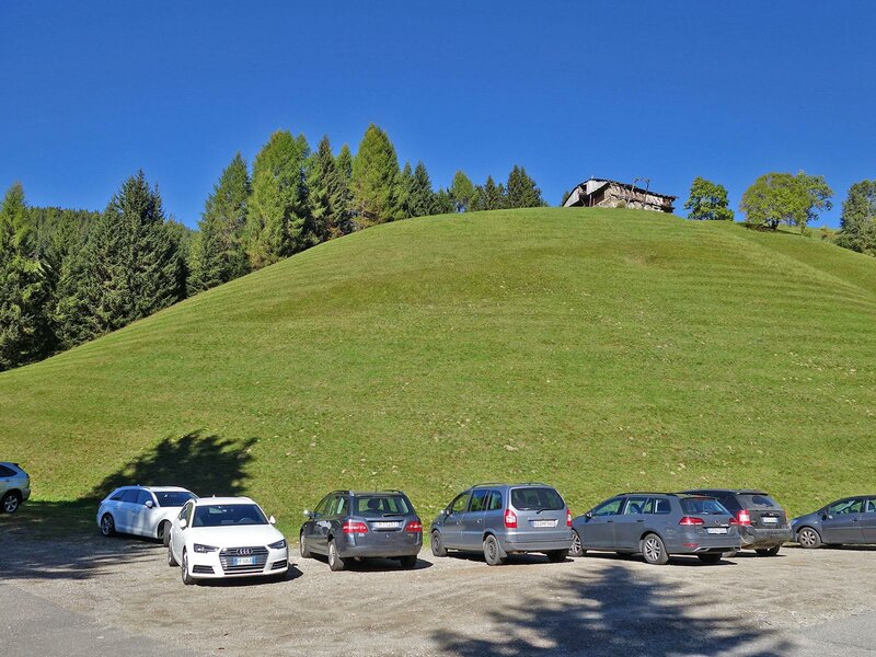
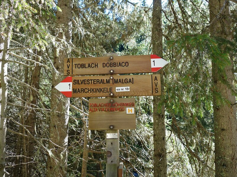
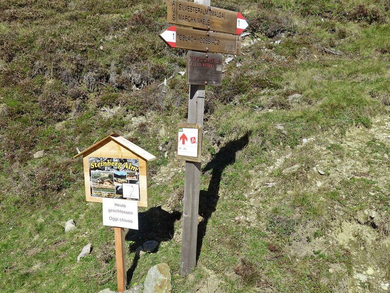
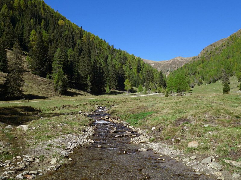
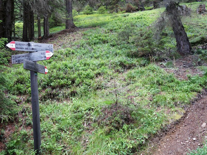
This 19-kilometre long hiking trip is recommended only to trained hikers. Apart from its length it is not a challenging trip: We start in Dobbiacco and drive to the Valle San Silvestro. Right before the end of the paved road there's a small parking lot for hikers. We start our trip on the path no. 1 (Dobbiaco High Route) leading to the San Silvestro Hut at 1,800 metres above sea level.
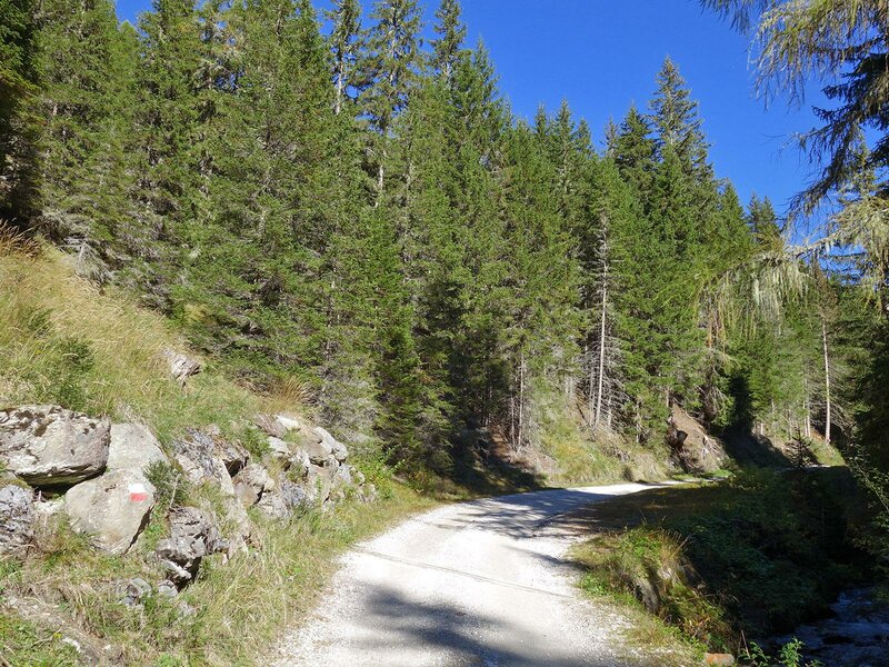
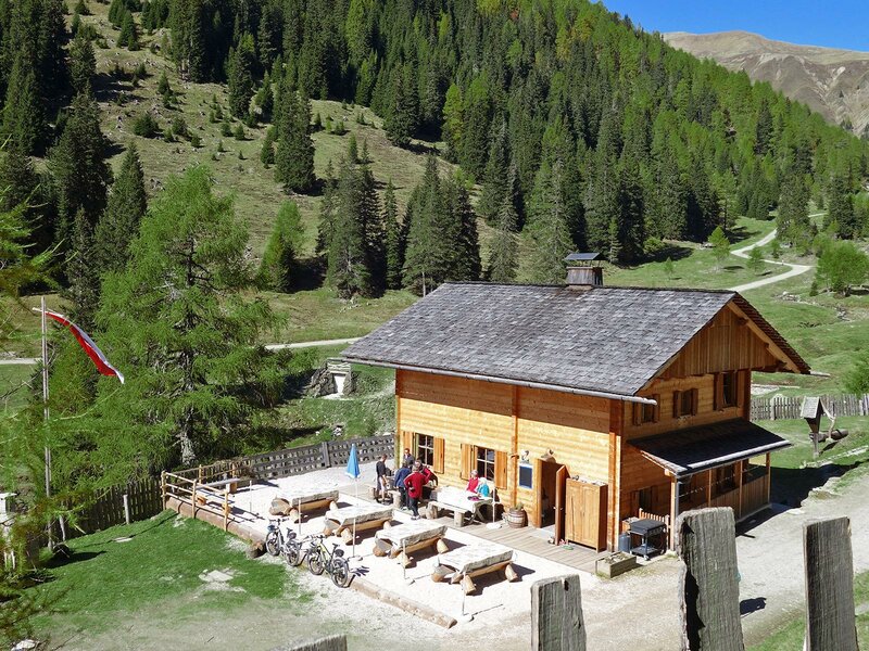
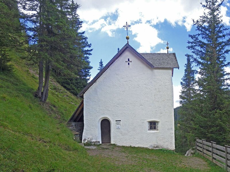
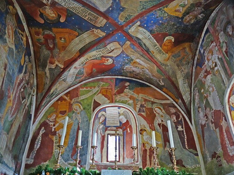
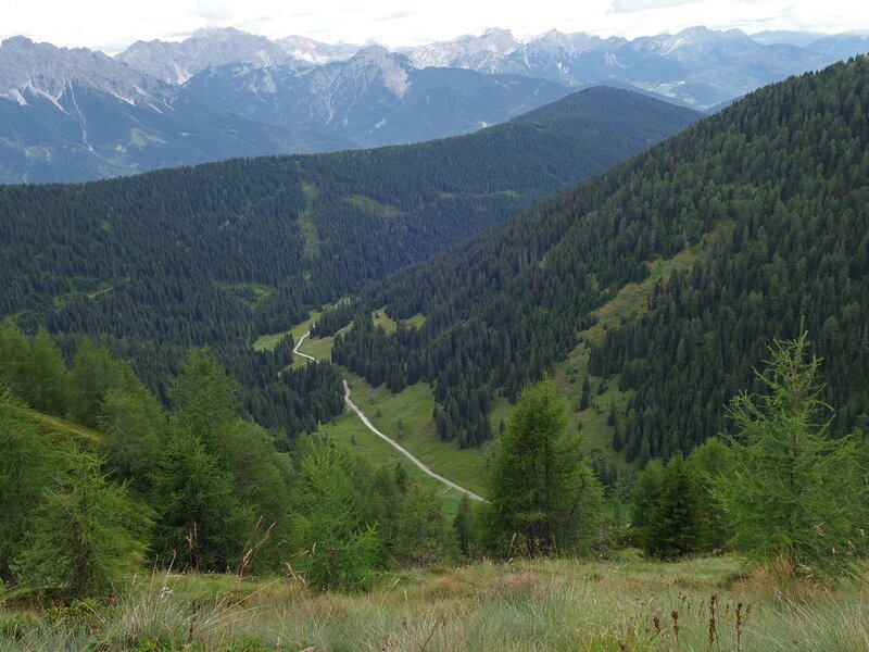
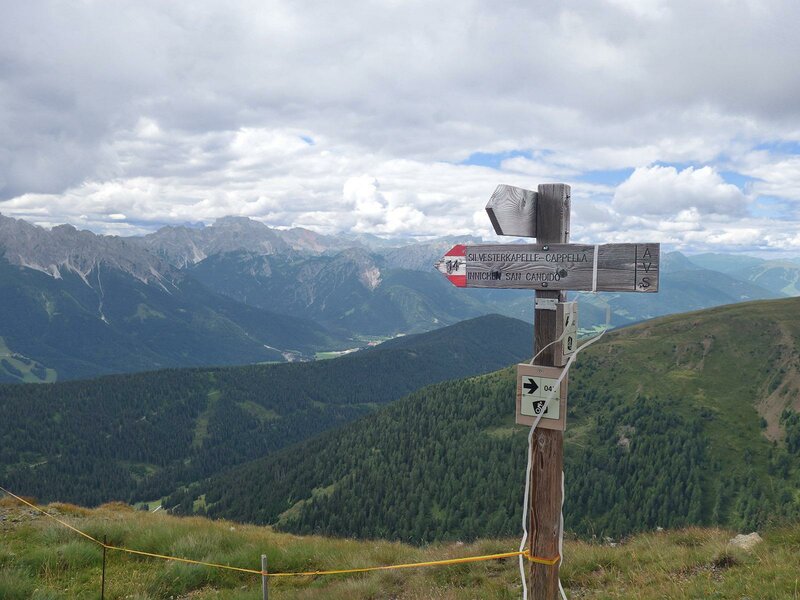
The forest track runs through a mixed and a coniferous forest. After a few kilometers, the valley continues on the left and we arrive to the San Silvestro Hut (Silvesteralm). After the hut, the path proceeds uphill towards the summit but before facing it, we visit the St. Sylvester Chapel which is near the hut and the aforementioned hill and hosts gorgeous frescoes.
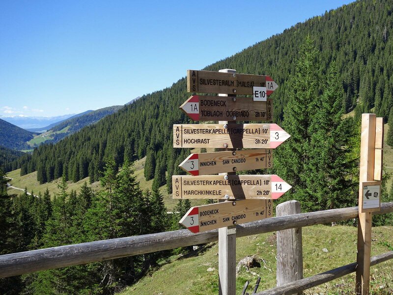
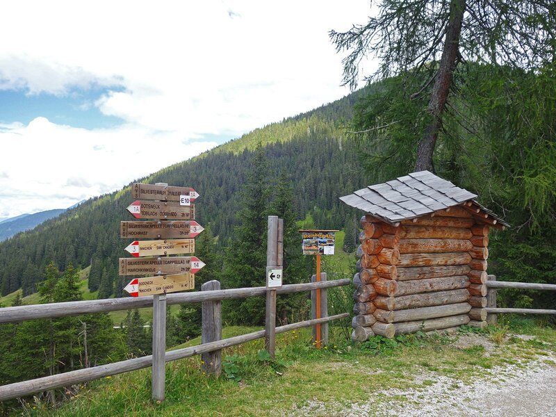
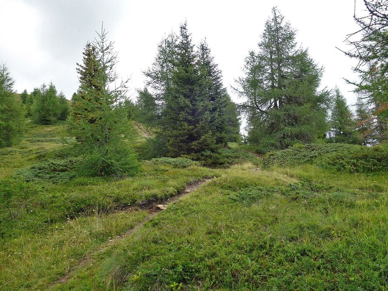
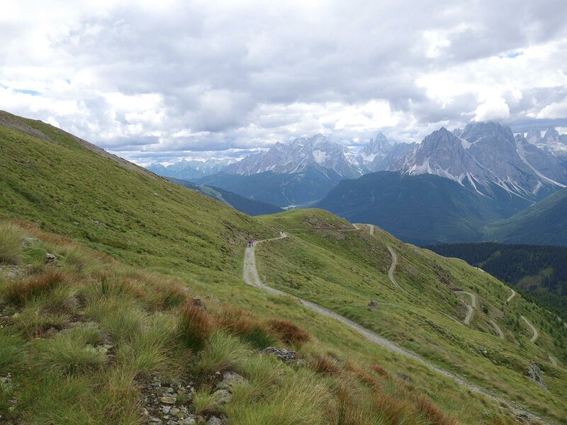
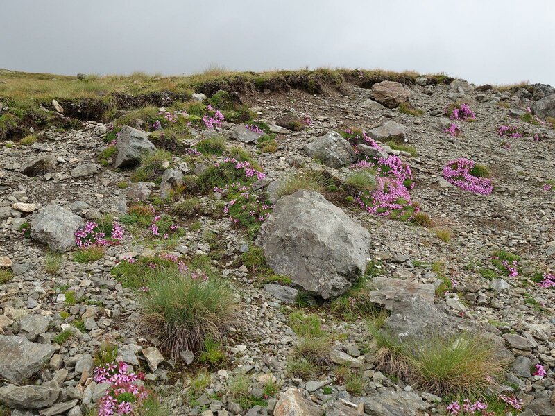
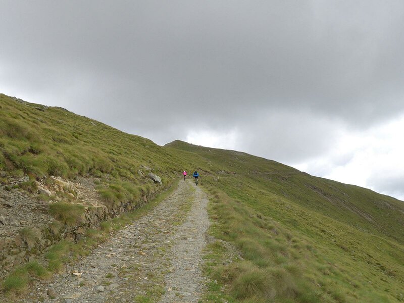
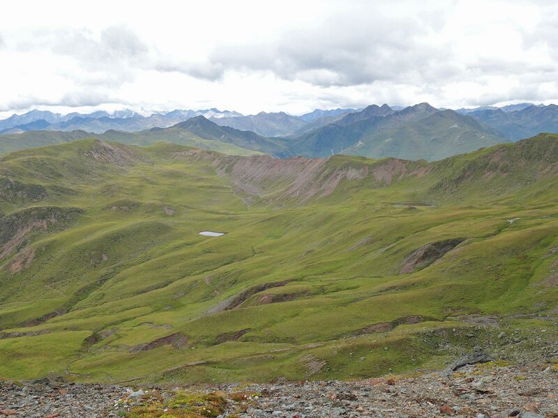
The path no. 14 that leads us to the summit is challenging: Initially it runs along moorland before going uphill, far above the forest limit. We take some breaks, also to be able to enjoy the panoramic view on the Dolomites and the Three Peaks of Lavaredo. Right before the summit, the path meets up with an old military street that twists along the slope.
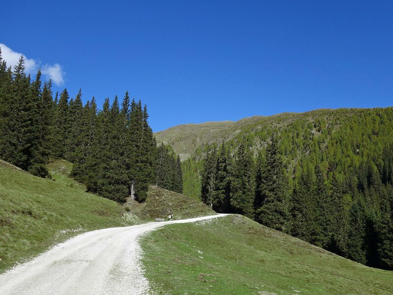
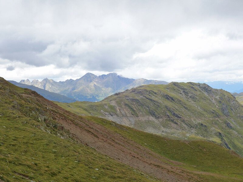
A large gravel road leads us right beneath the summit of Mt. Cornetto di Confine (Marchkinkele) passing by the Monte della Chiesa (Strickberg). In the shadow of the summit you can find the rests of a fortification system that was transformed into a mountain hut provided with a refreshment area. The Marchhütte Mountain Hut was opened some years ago and offers overnight stays.
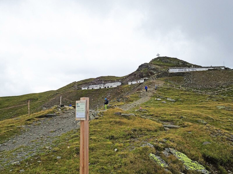
Once we have reached it, there are only a few metres left to reach the summit cross. From there you will have a breathtaking view that extends from the High Tauern in the north to the Sesto Dolomites in the south. The descent along the same route will take us another three hours.
Author: AT
Experienced: August 2018
Last updated: 2026
-
- Starting point:
- parking space in the Valle San Silvestro (1,505 m a.s.l.)
-
- Overall time:
- 06:35 h
-
- Total route length:
- 19,3 km
-
- Altitude:
- from 1.505 m to 2.545 m
-
- Altitude difference (uphill | downhill):
- +1091 m | -1091 m
-
- Signposts:
- no. 1, 14
-
- Destination:
- summit of Mt. Cornetto di Confine (2,545 m a.s.l.)
-
- Resting points:
- San Silvestro Hut (May/June to October), Marchhütte Hut (June to September)
-
- Recommended time of year:
- Jan Feb Mar Apr May Jun Jul Aug Sep Oct Nov Dec
-
- Download GPX track:
- Hike Malga San Silvestro and Cornetto di Confine
-
- More information:
- The total time indicated above refers to the walking time only, excluding breaks.
If you want to undertake this hike, we recommend checking the weather and trail conditions in advance and on site before starting this hike!