This family-friendly excursion leads through the Val Casies along a varied path to the Kradorfer Hut and its playground
Image gallery: Hike to the Malga Kradorfer hut
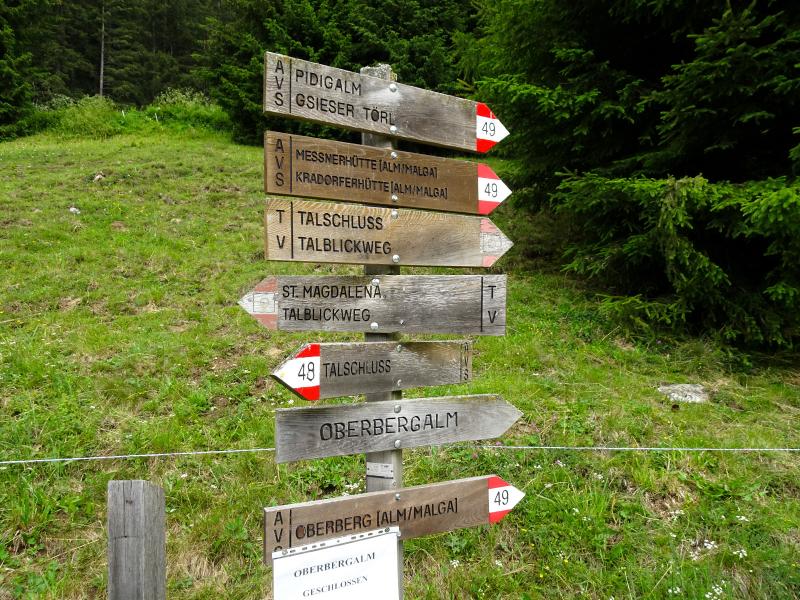
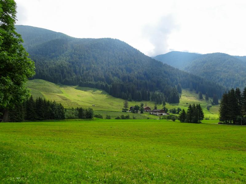
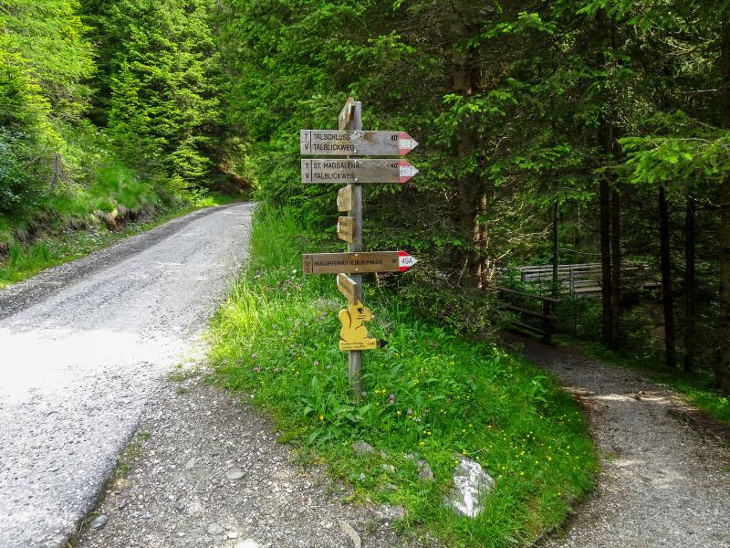
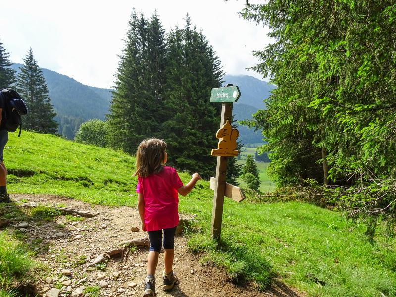
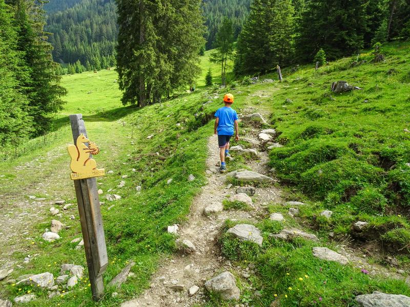
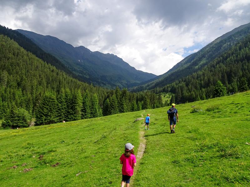
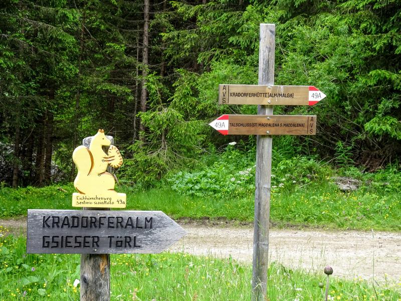
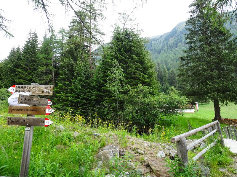
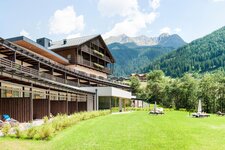
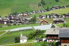
We start our hike at the car park near the Fondovalle Hut, just past Santa Maddalena in Casies. From here, already at an altitude of 1,460 metres, we first walk into the valley along forest road no. 49 and, after a short time, turn right onto the Squirrel Trail (Eichhörnchenweg) no. 49A.
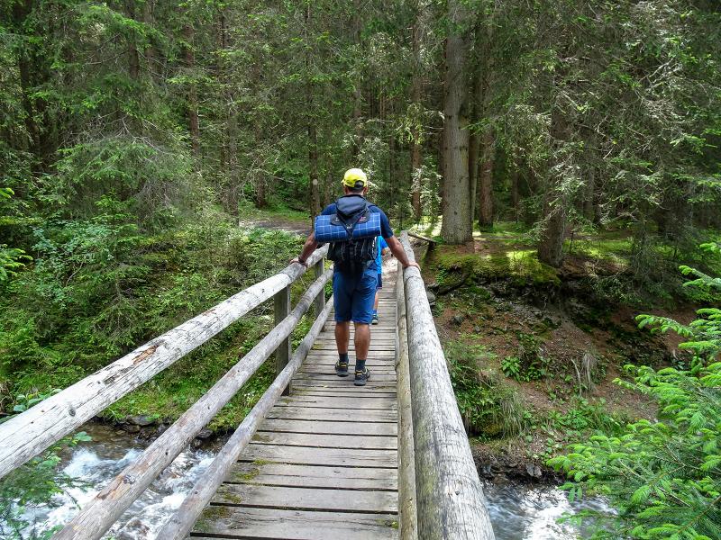
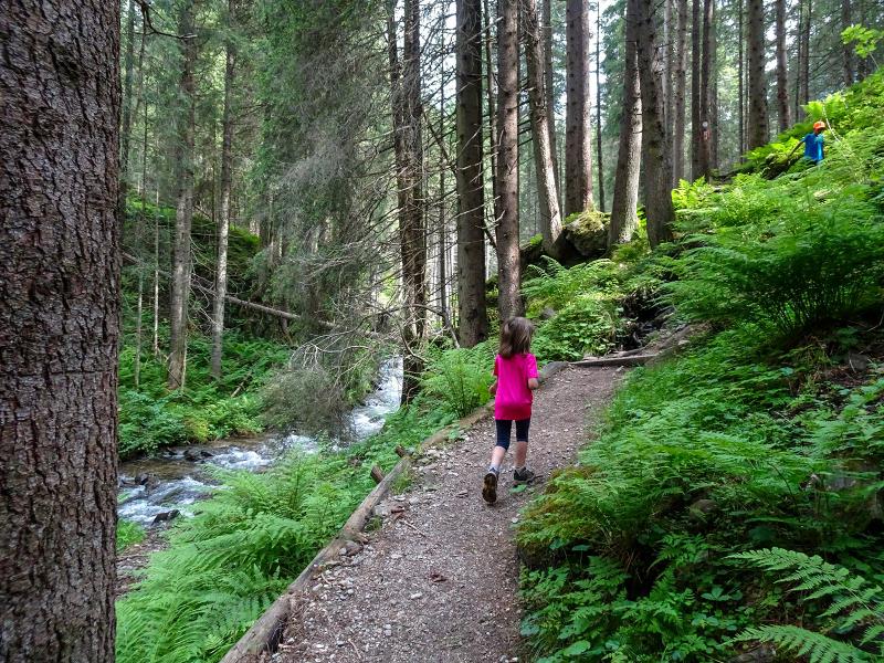
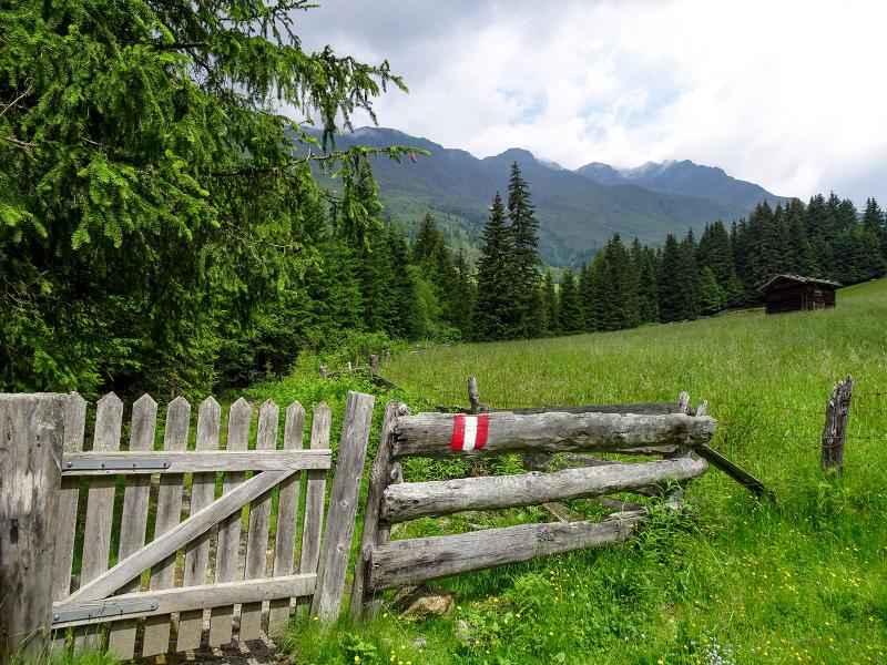
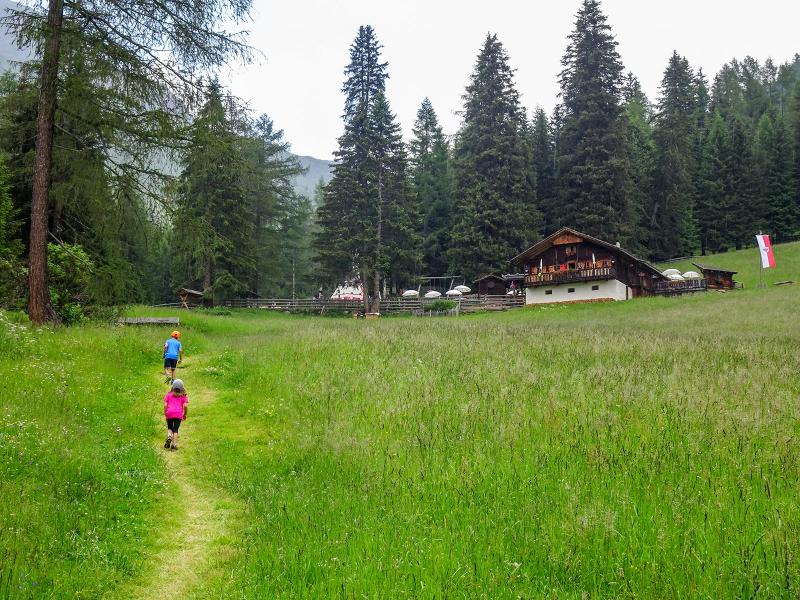
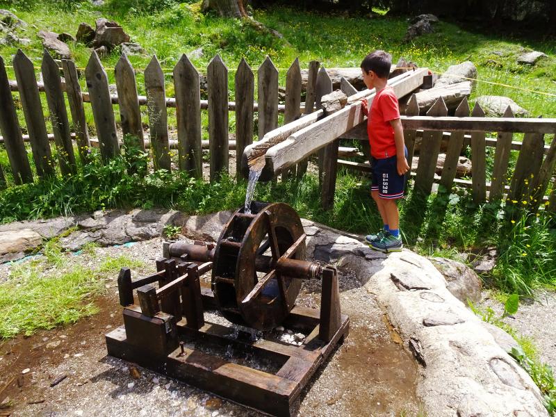
This path climbs gently parallel to the forest road but is far more varied. It initially leads through the woods and then across meadows, and the Rio Pidig stream is our constant companion. We repeatedly pass wooden squirrels along the route. We do not spot any live ones, or perhaps they are simply hiding in the dense forest. After a good hour, we reach the Kradorfer Mountain Hut.
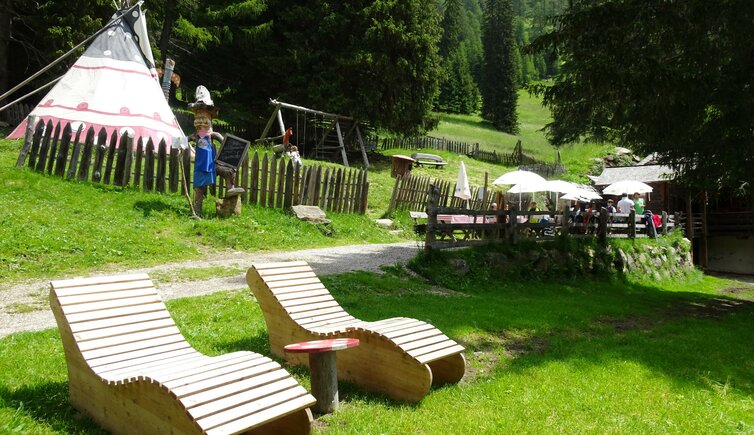
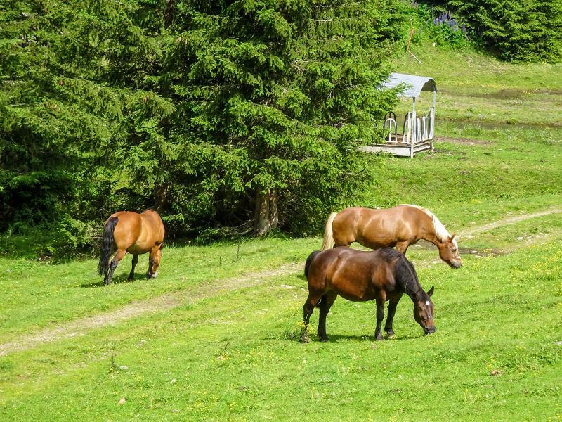
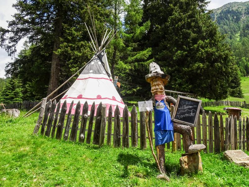
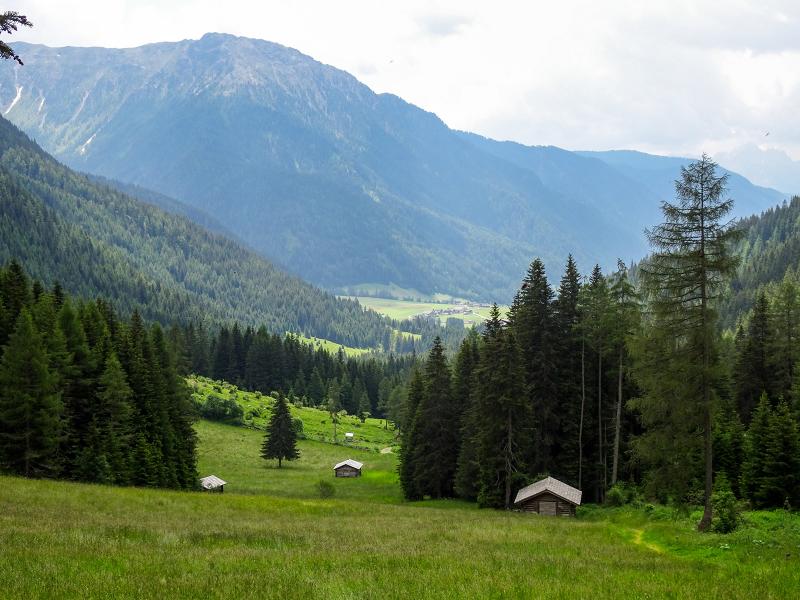
Here, at an altitude of 1,700 metres, we stop for lunch while the children enjoy the large playground complete with a teepee. The hut serves traditional Alpine dishes, made with meat from the farm, and homemade yoghurt made from the farm's own milk. From the mountain hut, there is a beautiful view of the head of the Val Casies valley and the surrounding peaks of the Villgraten Mountains, located on the border between South Tyrol in Italy and East Tyrol in Austria.
For the return journey, we choose path no. 49. This route takes us past the Messner Mountain Hut and brings us back to our starting point, the Fondovalle Hut, in around 45 minutes.
Author: AD
Experienced: July 2020
Last updated: 2026
-
- Starting point:
- Fondovalle Hut near Santa Maddalena in Casies (1,464 m a.s.l.)
-
- Overall time:
- 02:10 h
-
- Total route length:
- 7,3 km
-
- Altitude:
- from 1.464 m to 1.704 m
-
- Altitude difference (uphill | downhill):
- +246 m | -246 m
-
- Signposts:
- no. 49, 49A (Squirrel Trail)
-
- Destination:
- Kradorfer Hut (1,704 m a.s.l.)
-
- Resting points:
- Kradorfer Hut (June to October), Messner Hut (June to September)
-
- Recommended time of year:
- Jan Feb Mar Apr May Jun Jul Aug Sep Oct Nov Dec
-
- Download GPX track:
- Hike to the Malga Kradorfer hut
-
- More information:
- The total time indicated above refers to the walking time only, excluding breaks.
If you want to undertake this hike, we recommend checking the weather and trail conditions in advance and on site before starting this hike!