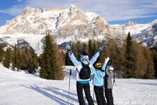
From the valley station Falzeben our snow shoe hike leads us to the 1,981 m high Passo della Croce in the Merano 2000 hiking area
Image gallery: Snowshoe hike to the Passo della Croce
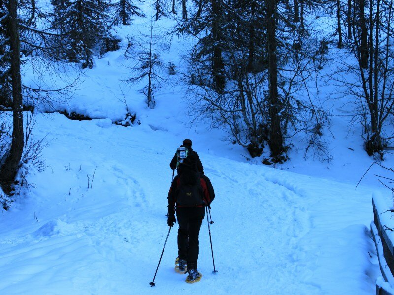
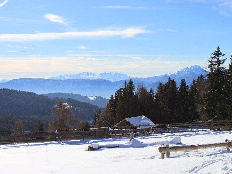
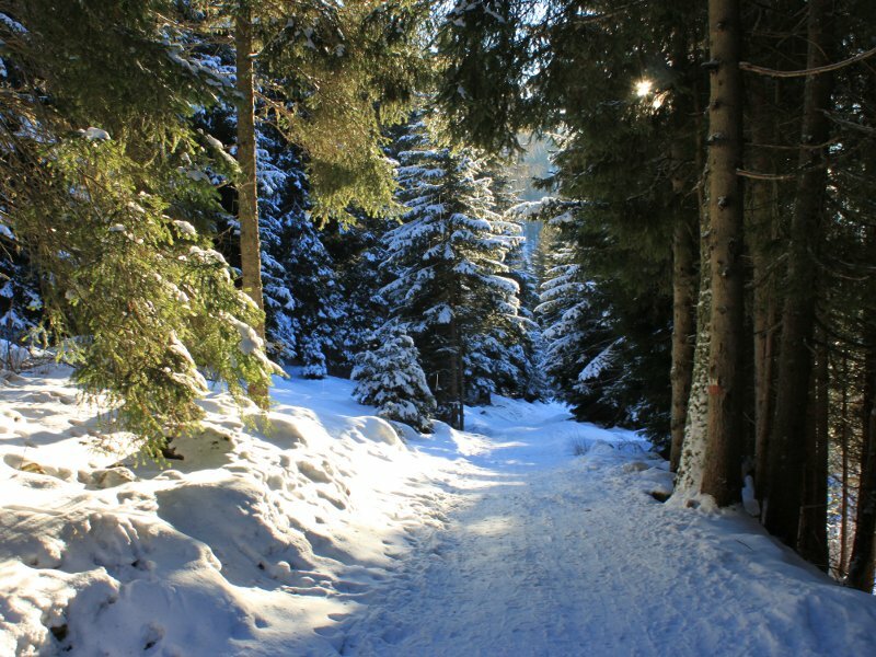
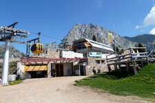
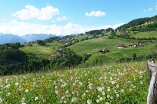
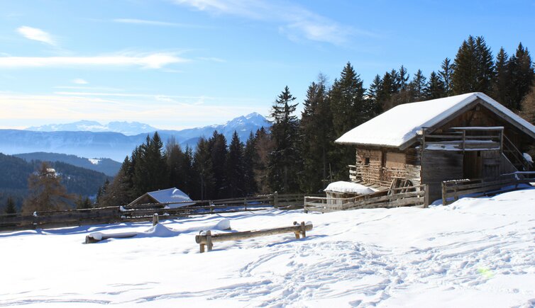
Starting point of our tour to the Passo della Croce (Kreuzjöchl) is Falzeben near Avelengo - here we park our car on the chargeable parking space next the valley station of the Merano 2000 Skiing Area. At the end of the road we take the path no. 51 which proceeds first downhill across a wooden bridge and then steeply uphill. After about one hour walk we reach the Moschwald Mountain Hut (Moschwaldalm, 1,753 m a.s.l.) and further to the Maiser Mountain Hut.
From here we follow the marker no. 15 which brings us to the destination of our snow shoe tour today, the 1,981 m high Passo della Croce. The way back is done along the same route.
Alternative route: by cable car up to the mountain station, further to the Weidmann and Meraner Hütte Mountain Huts, and along the European long-distance trail E5 to the Passo della Croce. Descent via the Moschwald Mountain Hut to Falzeben. Walking time about 4.5 hours.
Author: JO
-
- Starting point:
- valley station Falzeben, Avelengo
-
- Overall time:
- 03:30 h
-
- Total route length:
- 9,0 km
-
- Altitude:
- from 1.574 m to 1.908 m
-
- Altitude difference:
- +378 m | -378 m
-
- Signposts:
- no. 51, 15
-
- Destination:
- Passo della Croce
-
- Recommended time of year:
- Jan Feb Mar Apr May Jun Jul Aug Sep Oct Nov Dec
-
- Download GPX track:
- Snowshoe hike to the Passo della Croce
We suggest you to check the weather conditions in advance and on site before setting out. Don’t forget to check the current avalanche forecast!