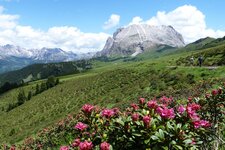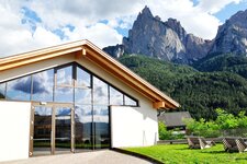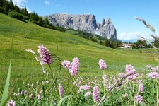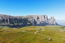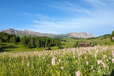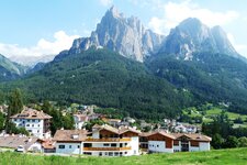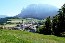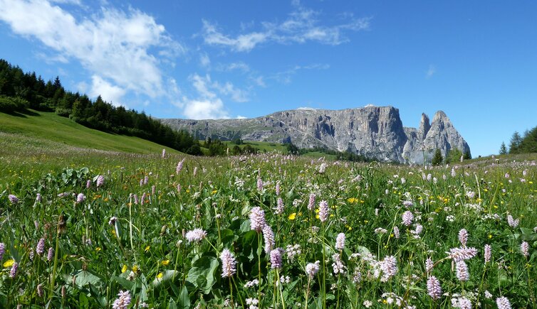
The emblem of South Tyrol, the 2,563 m high Sciliar, immediately grabs the attention with its bizarre shape
Image gallery: Sciliar Massif

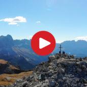
The Sciliar Massif or Schlernmassiv is unique, especially due to its form and the distincitive pinnacles, which are the Punta Santner and the Punta Euringer peaks. Due to this characteristic it is considered to be the symbol of South Tyrol. The first ascent of Mt. Sciliar dates back to 1880 and Johann Santner, who dubbed the Santner Peak. The limestone massif is really legendary. Once upon a time, the witches used to meet and dance on this mountain. According to the legends, the South Tyrolean figures of the Sciliar Witches are above all responsible for heavy storms.
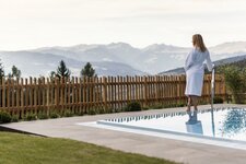
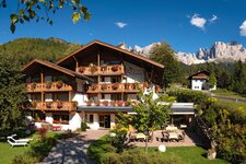
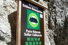
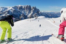
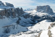
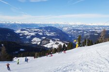
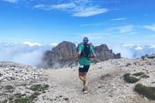
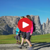
It borders on the largest high alp of Europe, the Siusi Alp. It is perfect for different leisure time activities like hiking and walking, and well-known for its picturesque holiday villages Castelrotto, Siusi allo Sciliar and Fiè allo Sciliar. A pleasant hike in the Sciliar-Catinaccio Nature Park, for example, starts at the Fiè Pond. In July however, top athletes meet in the area for the Rosengarten Schlern Sky Marathon, a 45 km long run around the mighty Sella and Catinaccio Groups. Also in winter you may experience the beauty of the Sciliar Massif: The Alpe di Siusi Skiing Area is connected with the Val Gardena Skiing Area and part of the Dolomiti Superski carousel.