Starting at the Ultimo Valley Museum in San Nicolò, we hike on the Ultimo Farm Trail towards Santa Geltrude and back
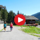
Image gallery: Hike along the Ultimo Farm Trail
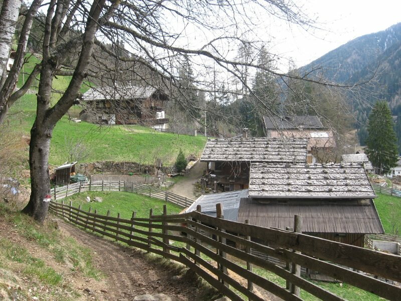
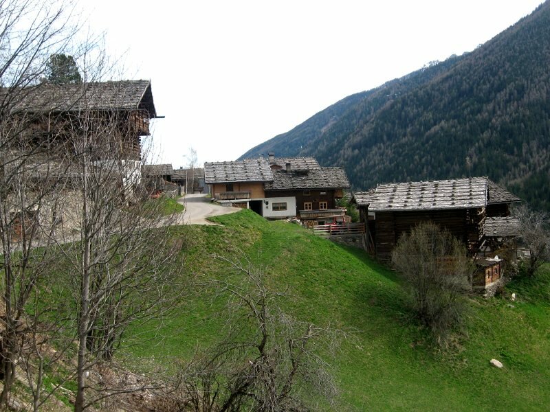
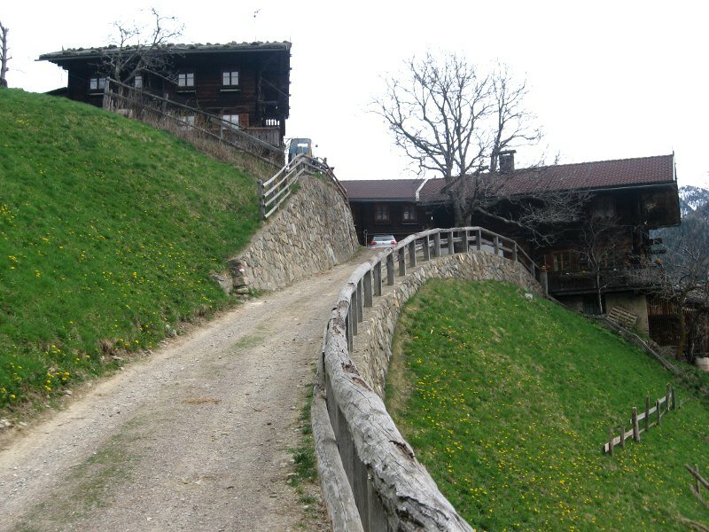
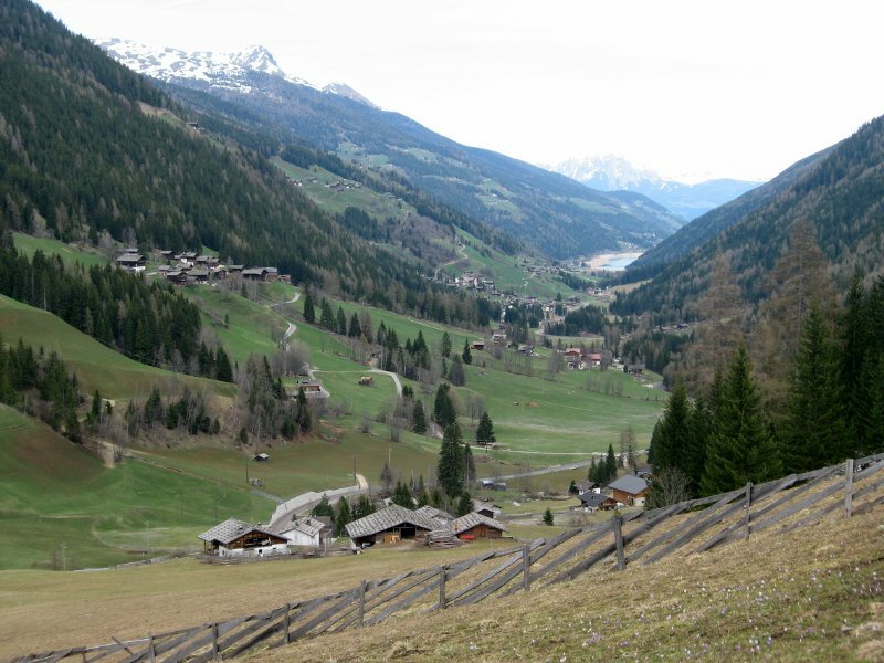
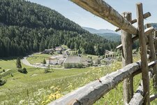
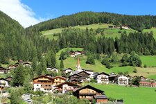
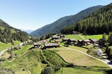
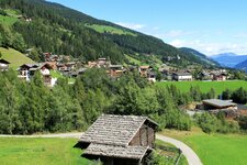
The Ultimo Farm Trail - "Via dei Masi" in Italian, "Ultner Höfeweg" in German - is one of the best ways to get to know the valley and its beautiful old mountain farms. Starting in Pracupola (Kuppelwies), we follow the trail on the sunny side of the valley until Santa Geltrude (St. Gertraud) and hike back on its shady side. The trail is 18 km long and can be done in one or two days. Today, we decide to do the longer of the two parts of the Ultimo Farm Trail. Starting at the Ultimo Valley Museum (Ultner Talmuseum) in San Nicolò (St. Nikolaus), we pass the church and hike upwards, following the signpost "Ultner Höfeweg". First, the trail leads up the valley into the forest.
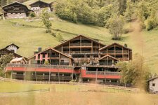
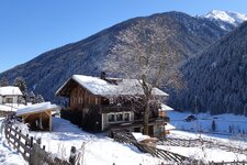
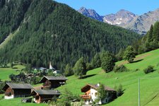
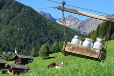
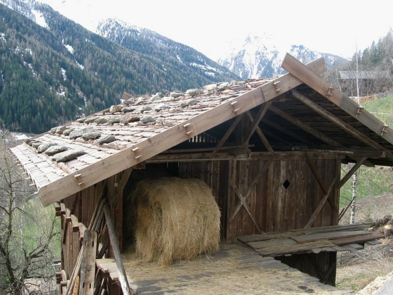
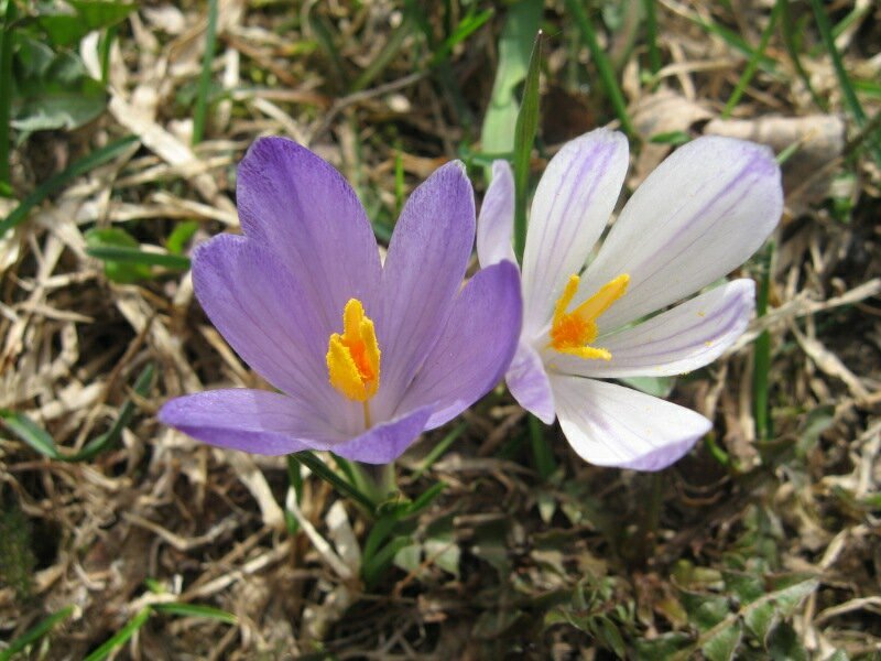
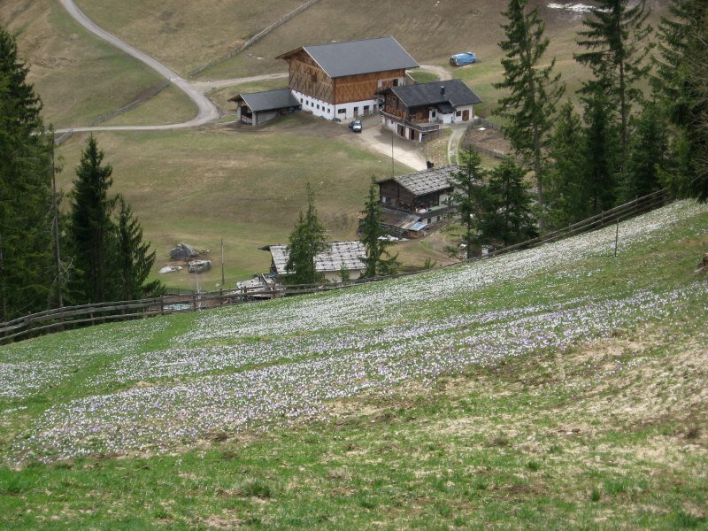
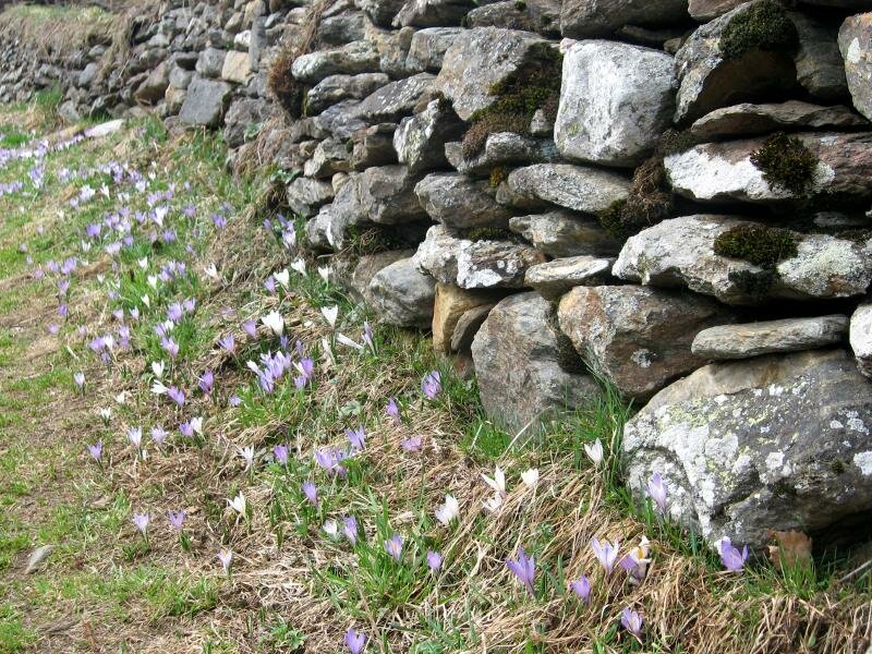
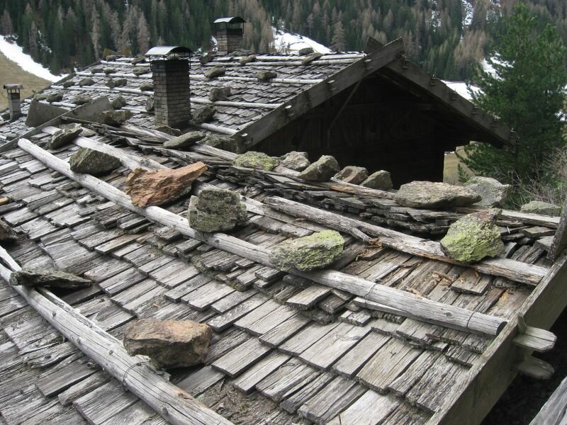
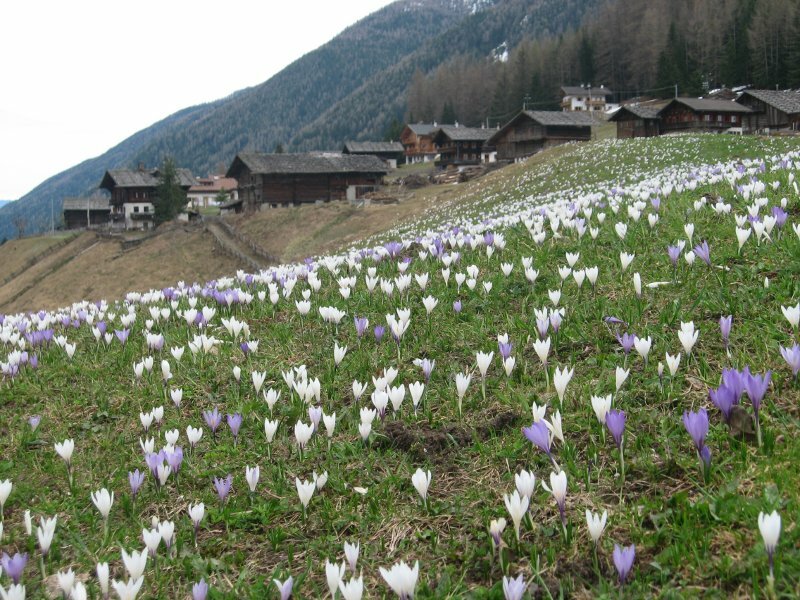
We see and smell the first signs of spring. Up and down the valley, across some small bridges and passing several beautiful mountain farms with typical shingle roofs, we follow the trail through forest and meadows. The trail is very well marked and maintained. After about 3 km, we reach the highest point of this hiking tour at 1,468 m a.s.l. Getting closer to the top of the valley, the trail leads gently downwards until we reach Santa Geltrude.
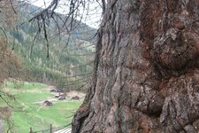
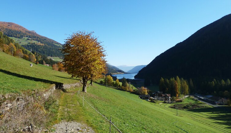
After a short rest we start our way back on the other side of the Valsura river. After about 20 minutes from Santa Geltrude, we pass the huge ancient larch trees before we finally reach San Nicolò, the starting point of the Ultimo Farm Trail, which unites culture, way of life, history and nature in a very beautiful and unique way. This tour is particularly recommendable from late spring (when also the shady side of the valley is empty of snow) until autumn.
Author: BS
-
- Starting point:
- museum of the Val d'Ultimo in S. Nicolò
-
- Overall time:
- 03:20 h
-
- Total route length:
- 10,4 km
-
- Altitude:
- from 1.214 m to 1.467 m
-
- Altitude difference:
- +304 m | -304 m
-
- Signposts:
- "Via dei Masi"
-
- Recommended time of year:
- Jan Feb Mar Apr May Jun Jul Aug Sep Oct Nov Dec
-
- Download GPX track:
- Hike along the Ultimo Farm Trail
If you want to do this hike, we suggest you to check the weather and trail conditions in advance and on site before setting out.