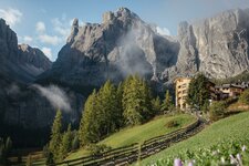
Prato Piazza is arguably one of the finest high alpine pastures in the Dolomites: A two-hour hike takes us there
Image gallery: Hike from Carbonin to the Prato Piazza
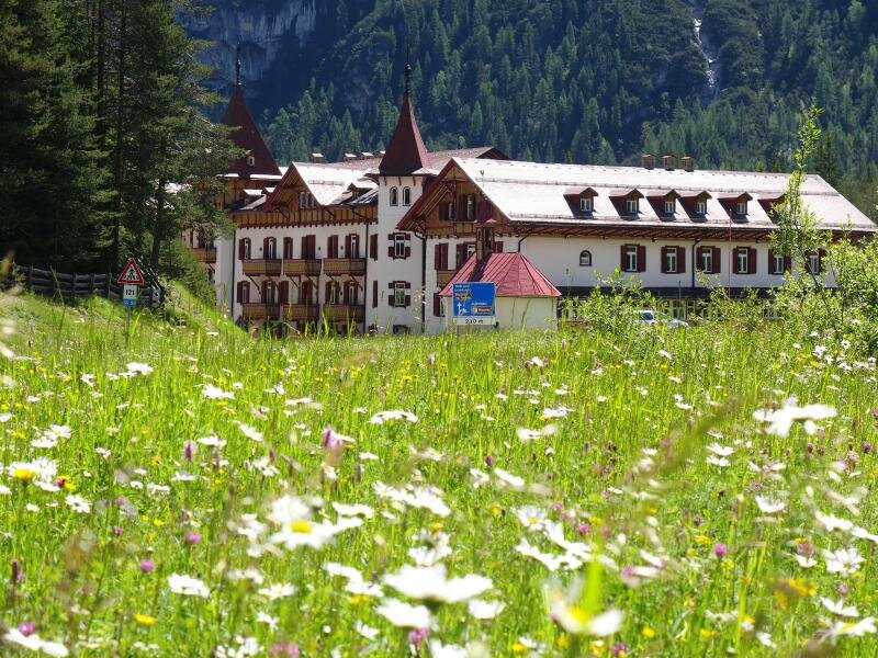

Prato Piazza is accessible from Carbonin in Valle di Landro at the turning for Lake Misurina. It is easy to reach from Dobbiaco by public bus or car. The landscape reveals its best side even during the journey through the Dolomite valley, passing Lake Dobbiaco and Lake Landro.
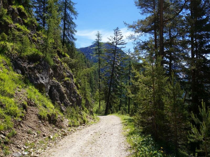
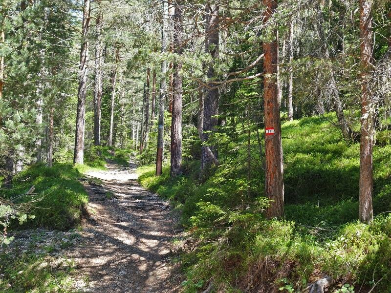
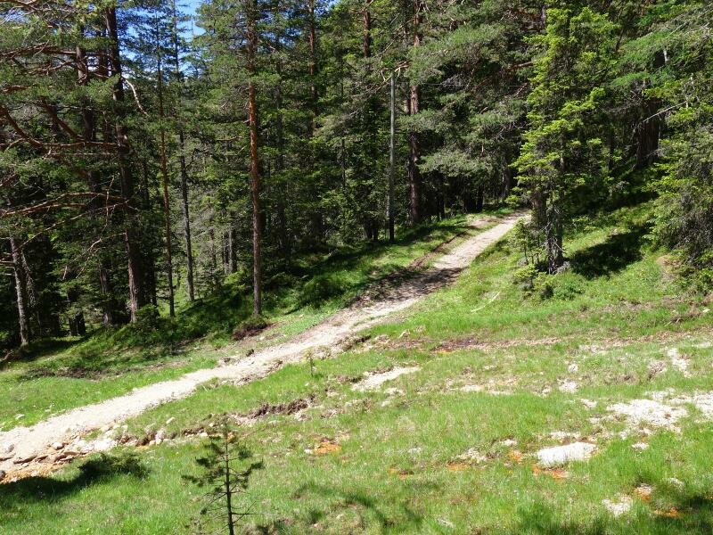
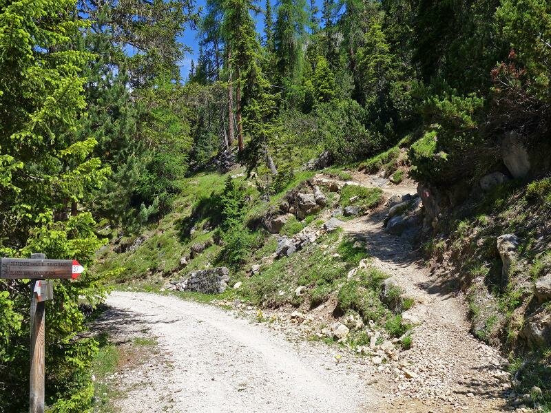
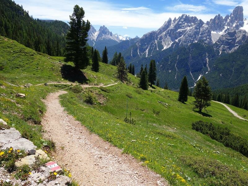
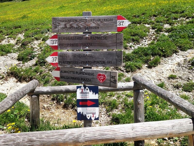
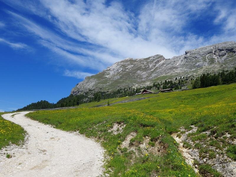
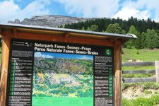
Path no. 37 leads from Carbonin up through the woods to the high alpine pasture of Prato Piazza in the Fanes-Senes-Braies Nature Park. Hikers who prefer a gentler ascent can follow the forestry road that winds upwards in a series of switchbacks. The two routes cross each other several times.
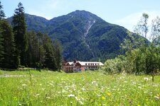
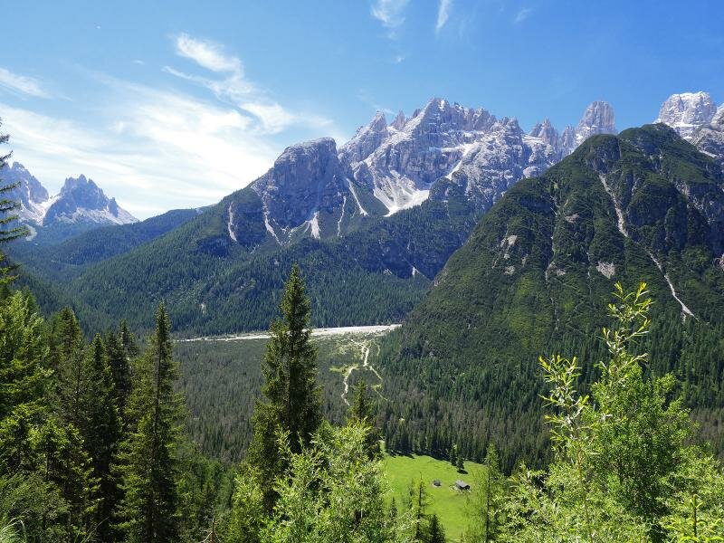
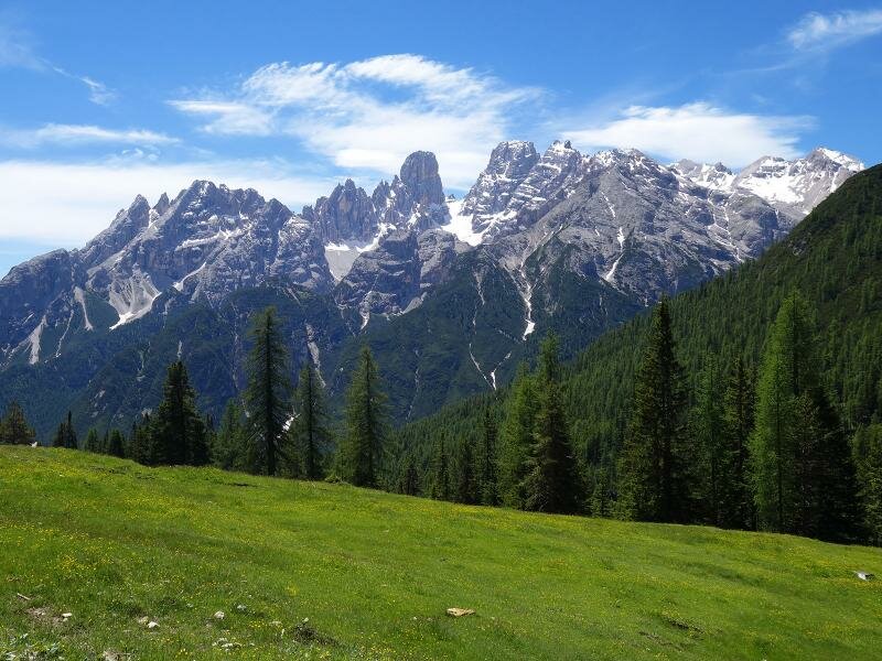
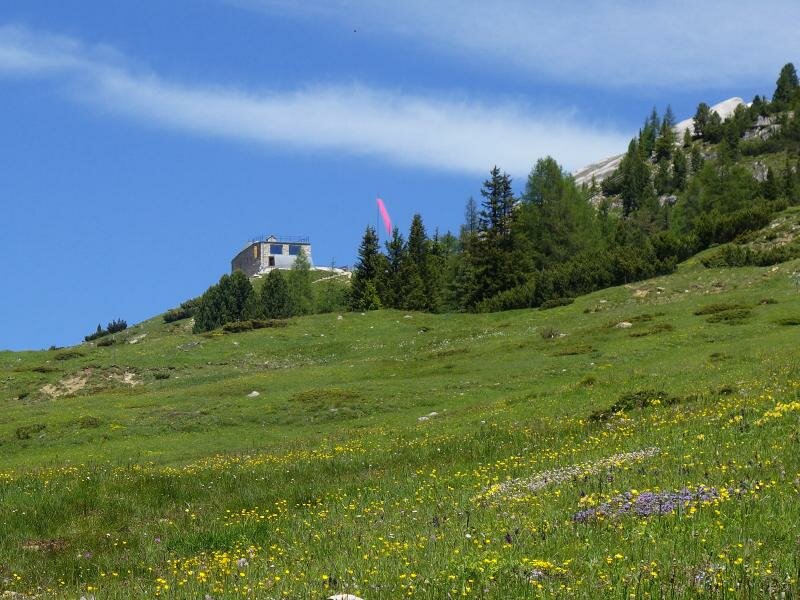
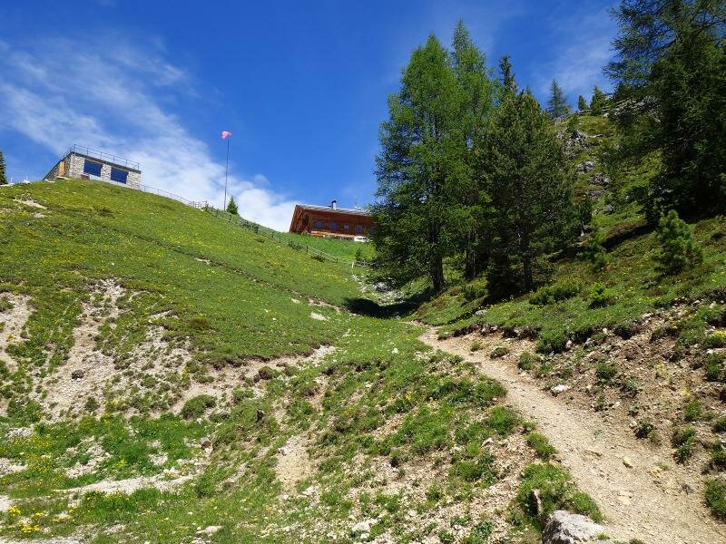
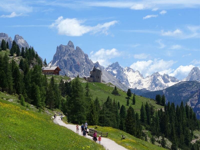
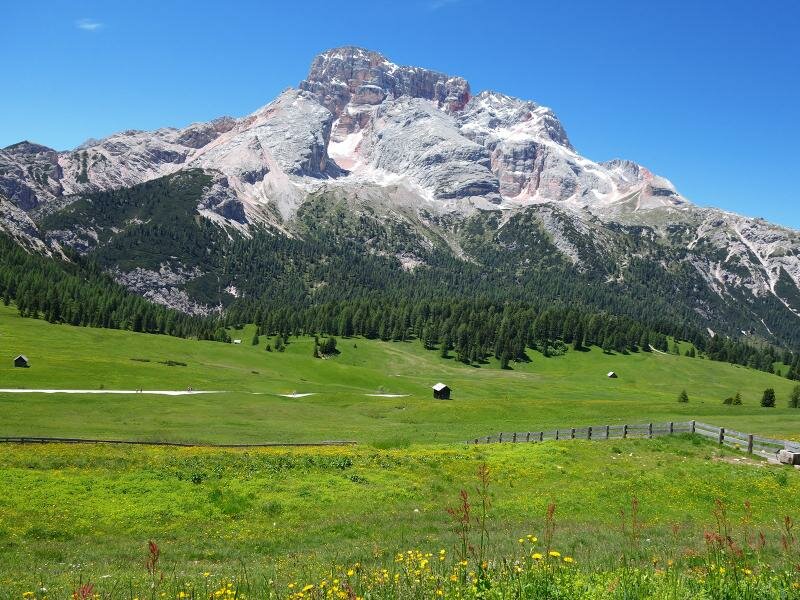
A wonderful view of the Monte Cristallo soon opens up. The woods thin out, and we reach the first meadows. While the Croda Rossa d'Ampezzo appears to the west, we see the Vallandro Hut and the Sperrwerk Plätzwiese (Prato Piazza Fort) directly ahead, a fortress built by the Austro-Hungarian army in the late 19th century. We have now passed the 2,000-metre mark.
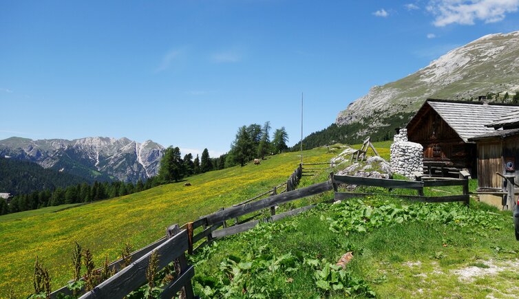
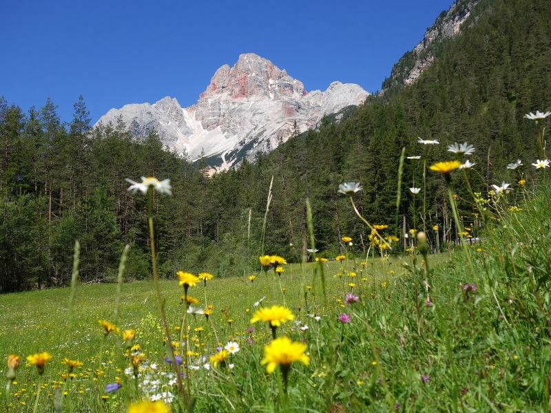
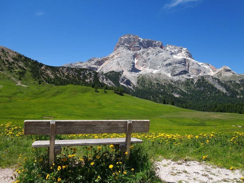
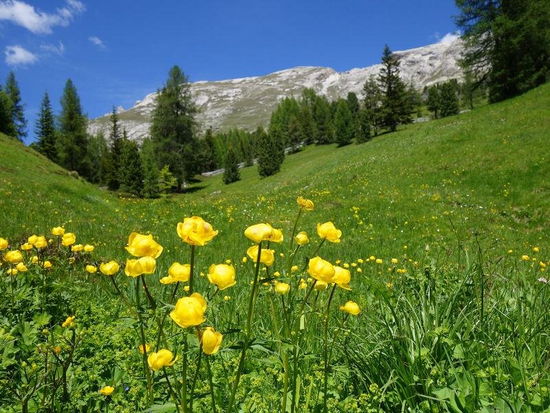
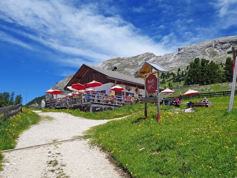
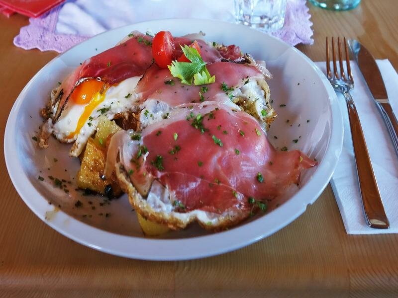
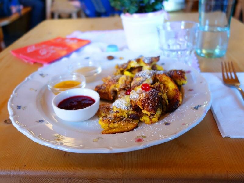
Dolomite peaks frame the blossoming alpine meadows. For lunch, we walk a little further up to Prato Piazza Hut at 2,048 metres above sea level. It serves refreshing drinks and local dishes. Afterwards, we return along the same path to Carbonin in the Valle di Landro valley.
Author: AT
Experienced: June 2018
Last updated: 2026
-
- Starting point:
- Carbonin in the Valle di Landro valley (1,369 m a.s.l.)
-
- Overall time:
- 02:00 h
-
- Total route length:
- 11,6 km
-
- Altitude:
- from 1.369 m to 2.048 m
-
- Altitude difference (uphill | downhill):
- +688 m | -688 m
-
- Signposts:
- no. 37 (alternatively the forest road, a little longer but less steep)
-
- Destination:
- Prato Piazza Mountain Hut (2,048 m a.s.l.)
-
- Resting points:
- Prato Piazza Hut, Vallandro Hut (both from May to October/November)
-
- Recommended time of year:
- Jan Feb Mar Apr May Jun Jul Aug Sep Oct Nov Dec
-
- Download GPX track:
- Hike from Carbonin to the Prato Piazza
-
- More information:
- The total time indicated above refers to the walking time only, excluding breaks.
If you want to undertake this hike, we recommend checking the weather and trail conditions in advance and on site before starting this hike!


.JPG)