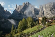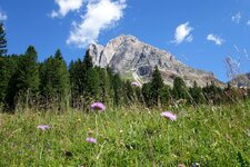
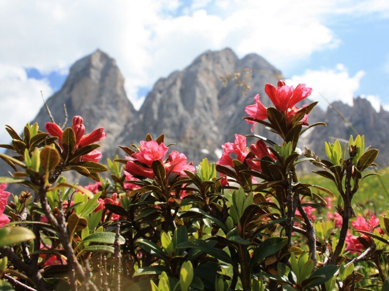
Mt. Sasso Putia offers some of the finest views in the Dolomites: The blooming Putia meadows are a special feature
Image gallery: Mountain tour on the Sass de Putia
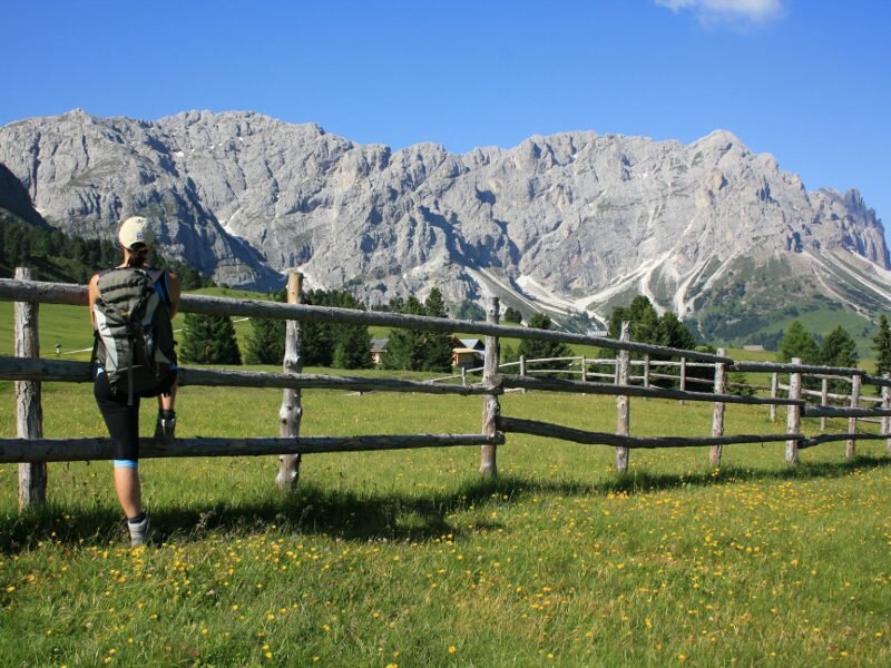
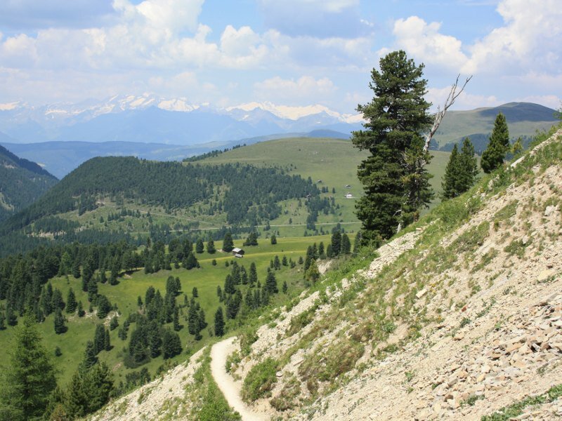
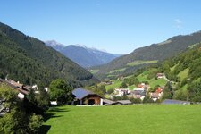
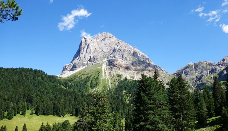
The starting point for this excellent hike is the Passo delle Erbe. It is accessible via San Martino in Badia, Luson, or Colle. From the car park at the Ütia de Börz Hut, facing the impressive north wall of Mt. Sass de Putia, we take the wide forest path no. 8A to the right. It heads towards the Ütia de Göma. The forest soon thins out, and the beautifully blooming Putia meadows spread out before us. We then reach the turn-off for the Ütia de Göma at the foot of the Sass de Putia.
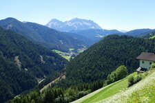
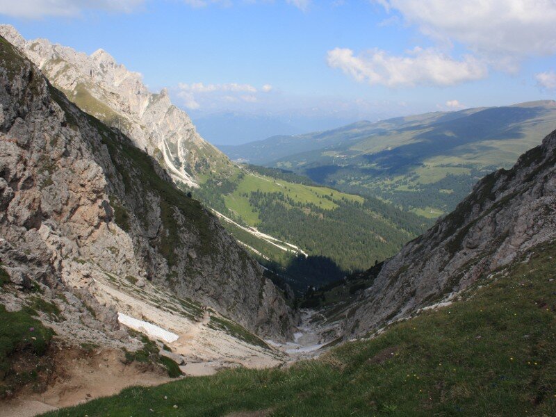
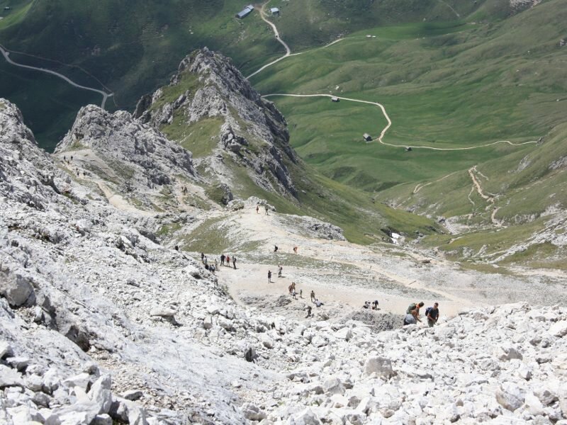
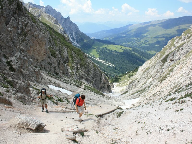
We continue along path no. 8A, which gradually narrows. We draw closer to the rock face. Path no. 4 then leads upwards through a long gorge next to a stream. It crosses a few snowfields and becomes steeper until we reach the Forcella Putia ridge at 2,357 metres. This is an essential rest stop for hikers. Several trails intersect here. From this saddle, we can also reach the Rifugio Genova hut in the Putia Group in the Val di Funes Funes, or head towards Longiarù in the Val Badia.
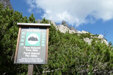
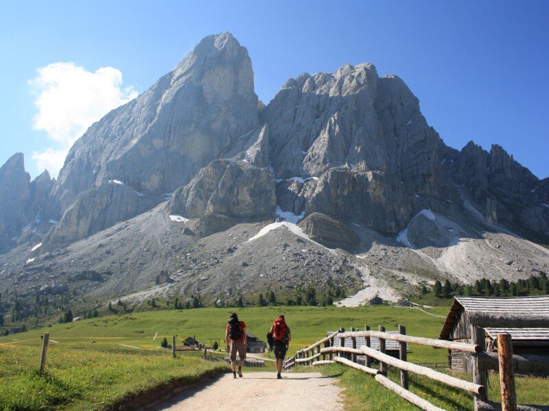
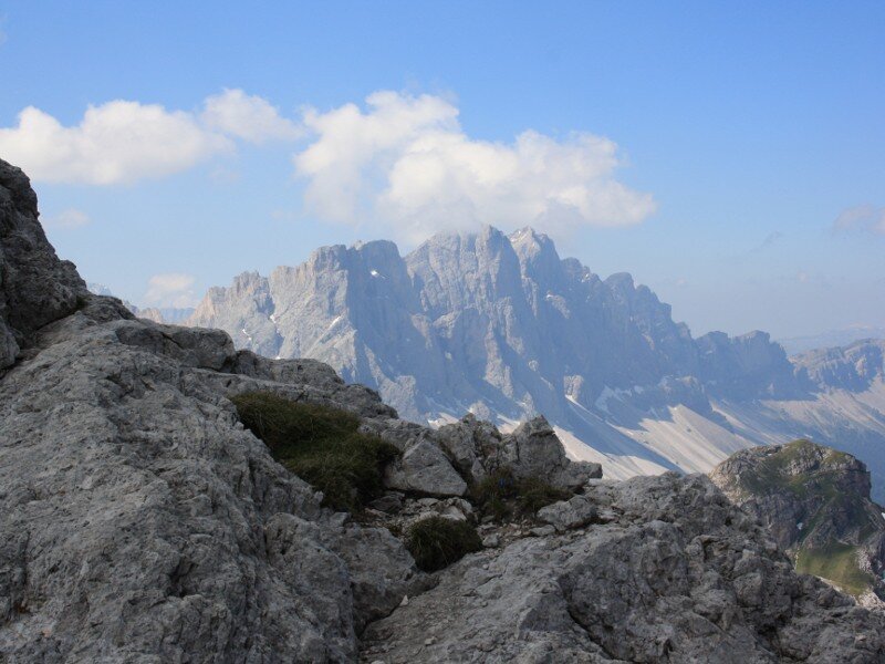
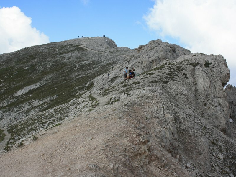
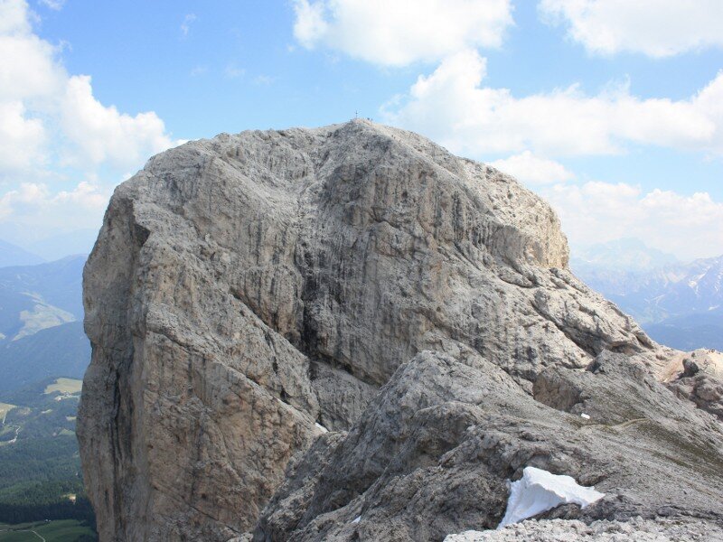
We continue our ascent via numerous zigzags. The terrain becomes more alpine. We soon reach the saddle between the Grande Sasso Putia and the Piccolo Sasso Putia - the Big and the Small Sass de Putia - in the Puez-Odle Nature Park. This spot provides excellent views. From here, we begin the steep climb to the summit of the Grande Sasso Putia. This final section is secured with wire ropes. Hikers must be absolutely sure-footed and have a good head for heights!
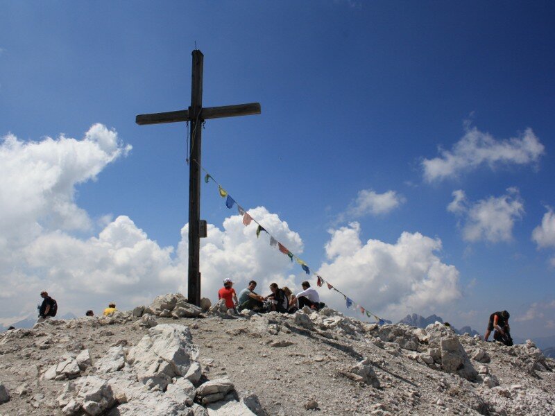
After completing the secured section, we walk the last few metres to reach the summit cross of the "Putia". The mountain provides expansive views across Dolomites, including its highest peak, the Marmolada. We can also see the Zillertal Alps and various other mountain ranges. The return journey follows the same route - we must exercise great caution when descending from the steep summit structure. Summary: Mt. Sass de Putia is a classic mountain destination.
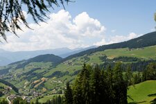
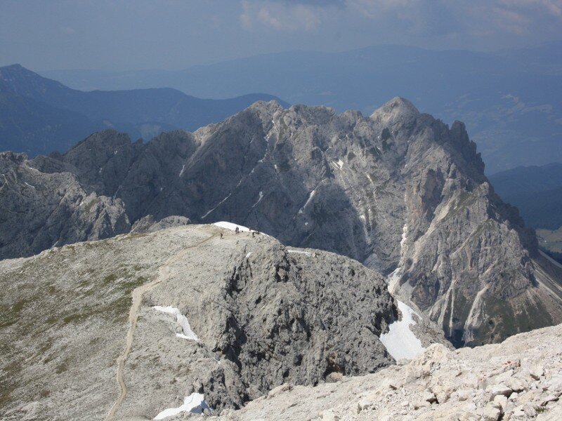
It is highly popular due to its extensive views. In midsummer, an early start is recommended, and it is best to avoid weekends if possible. The Piccolo Sasso Putia is about a 15-minute walk from the saddle - this smaller peak offers a clear view of the main summit. Once back at the Forcella Putia ridge, we can also choose to extend the hike by completing the full circuit around the Sasso Putia (Peitlerkofel-Umrundung). This circular route also finishes at the Passo delle Erbe.
Author: BS
Experienced: July 2010
Last updated: 2026
-
- Starting point:
- Passo delle Erbe (1,982 m a.s.l.)
-
- Overall time:
- 05:00 h
-
- Total route length:
- 11,8 km
-
- Altitude:
- from 1.982 m to 2.875 m
-
- Altitude difference (uphill | downhill):
- +971 m | -971 m
-
- Signposts:
- no. 8A, 4, "Giro del Sasso Putia"
-
- Destination:
- summit of Mt. Sass de Putia (2,875 m a.s.l.)
-
- Resting points:
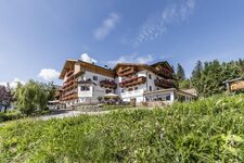
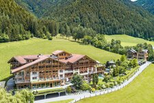
- Ütia de Börz (May to October), Ütia de Göma (June to October)
-
- Recommended time of year:
- Jan Feb Mar Apr May Jun Jul Aug Sep Oct Nov Dec
-
- Download GPX track:
- Mountain tour on the Sass de Putia
-
- More information:
- The total time indicated above refers to the walking time only, excluding breaks. You must have absolutely sure-footedness - via ferrata equipment is recommended for safety reasons.
If you want to undertake this hike, we recommend checking the weather and trail conditions in advance and on site before starting this hike!