This hiking tour leads from Solda to the Alfredo Serristori Mountain Hut and further up to the 3,375 m high Mt. Croda di Cengles
Image gallery: Mountain tour to Mt. Croda di Cengles
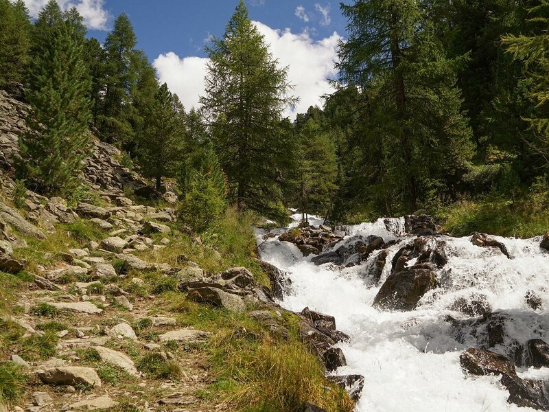
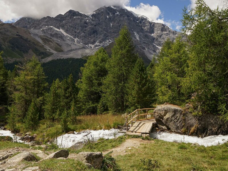
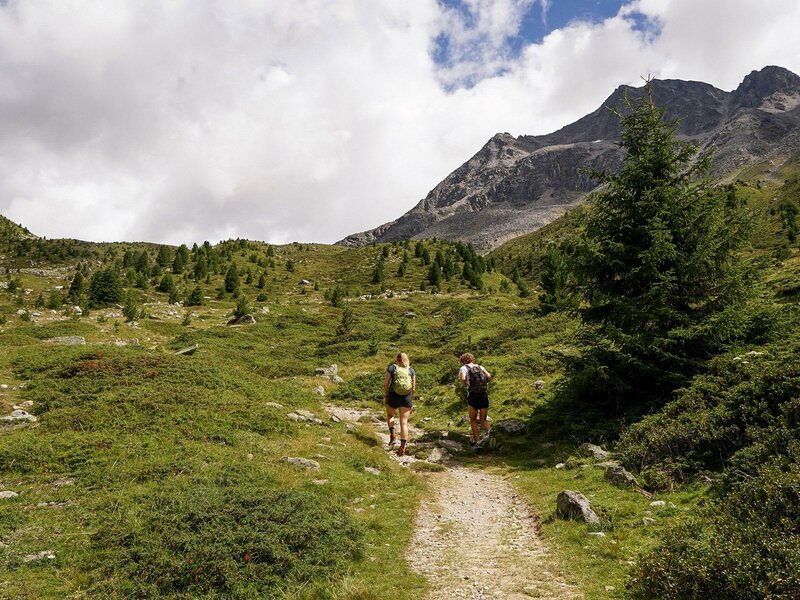
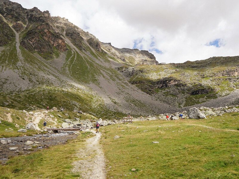
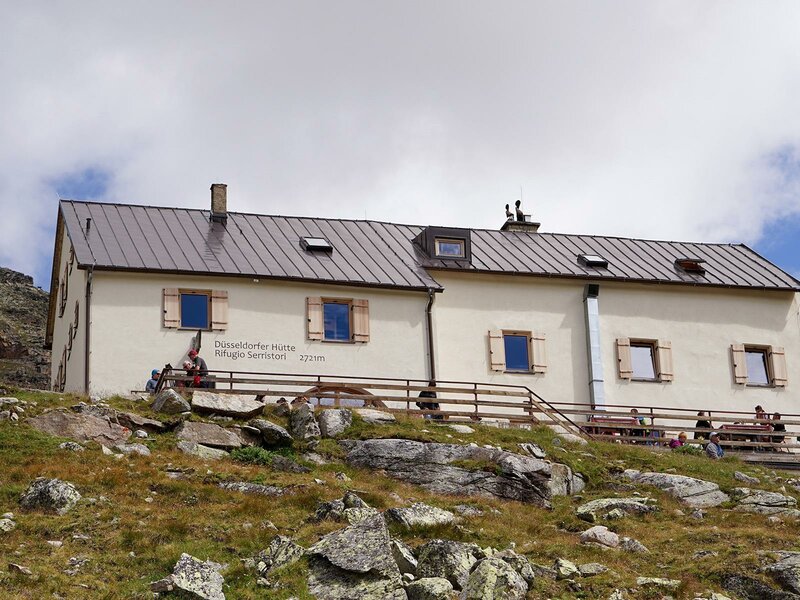
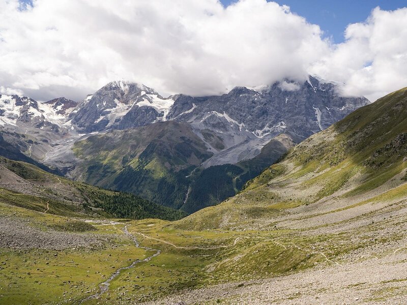
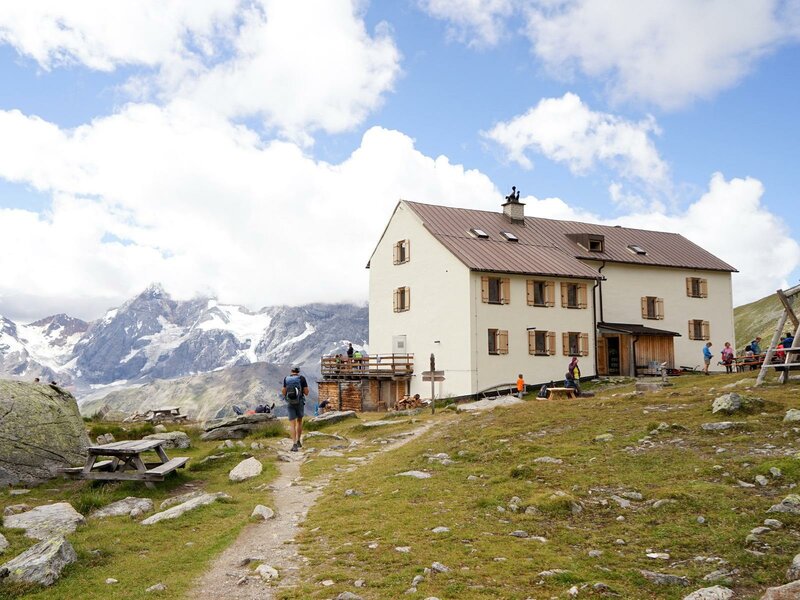
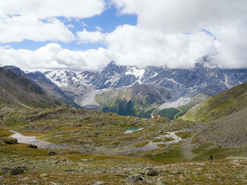
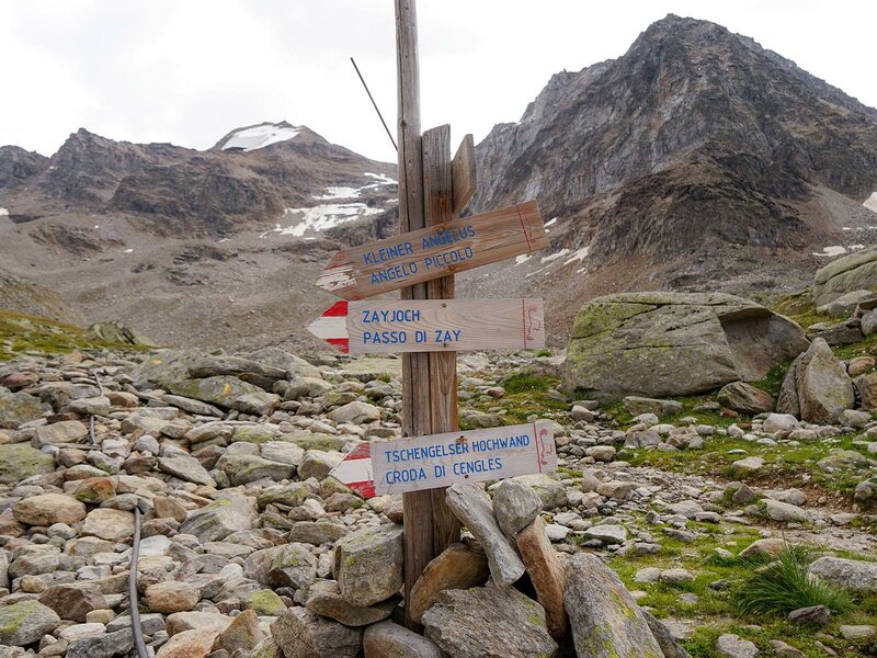
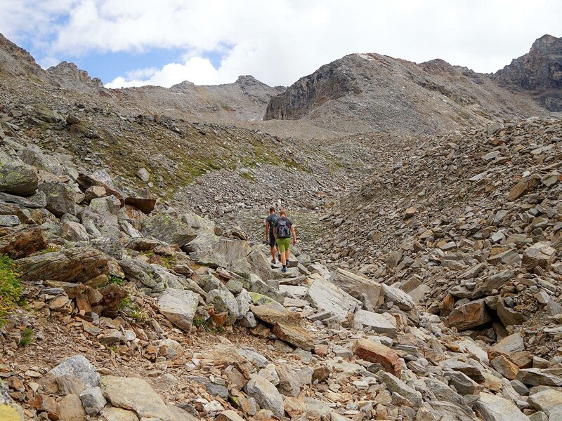
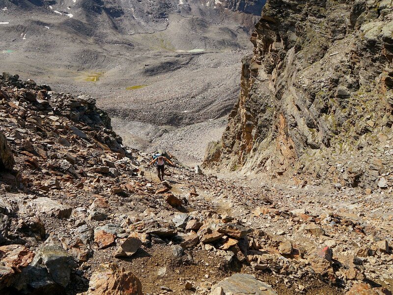
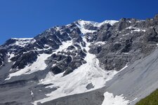
We park our car at the valley station of the Kanzel Chairlift (1,860 m a.s.l.) in Solda (Sulden). From there we cross the road and follow trail no. 5 through the Valle di Zai valley. Alternatively, you can also take the Kanzel Lift up to save some metres in altitude. The Rio Zai always runs next to the trail until we reach an upland pasture. The well-constructed and marked trail leads us moderately uphill in 2.5 hours to the Alfredo Serristori Mountain Hut (Düsseldorfer Hütte, 2,721 m a.s.l.). Also after the hut we follow trail no. 5, passing several small lakes before reaching a moraine terrain.
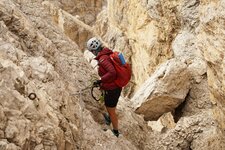
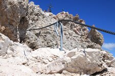
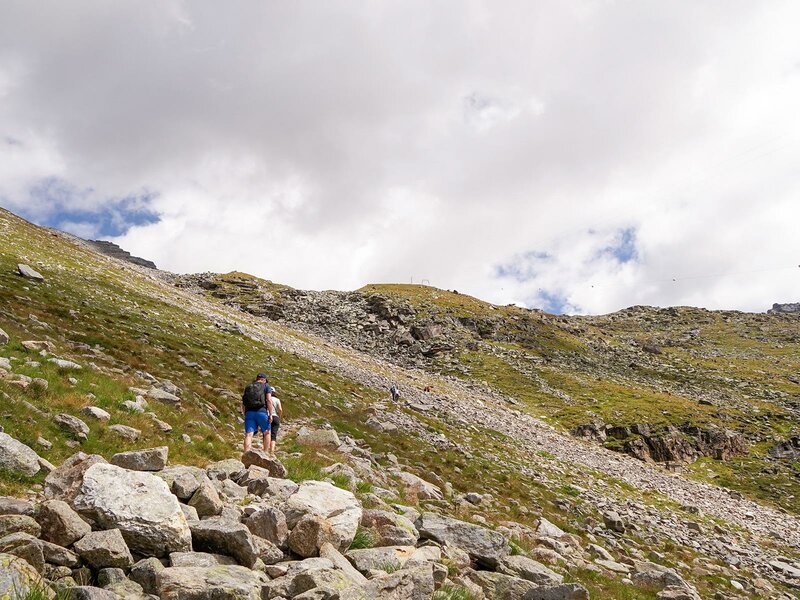
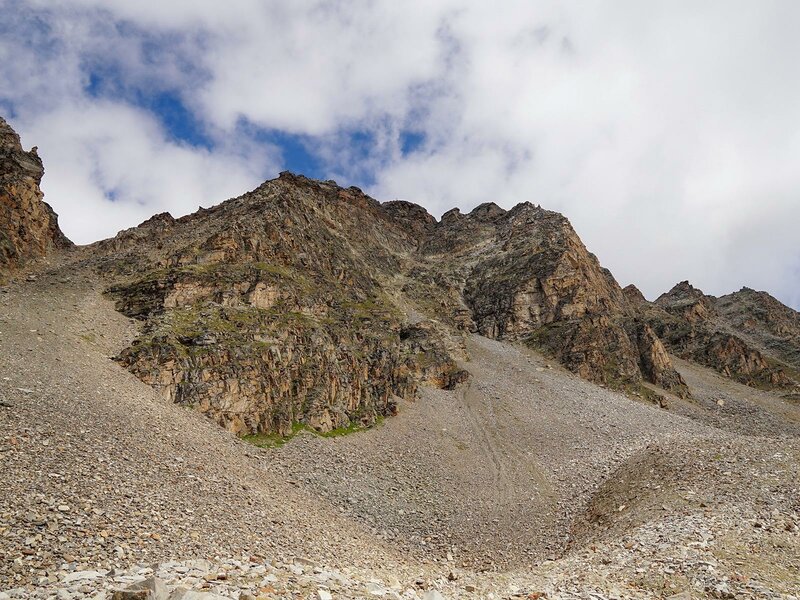
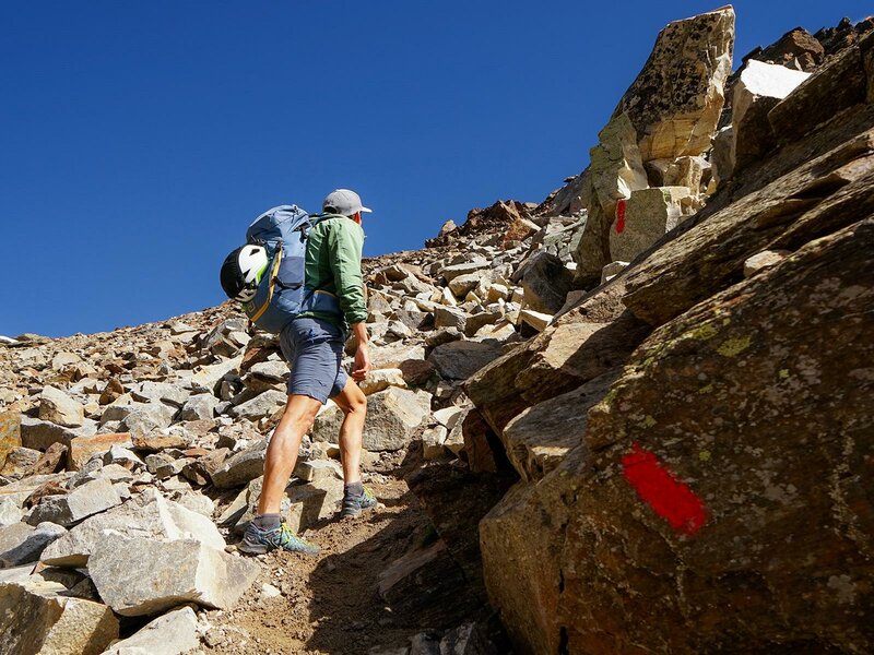
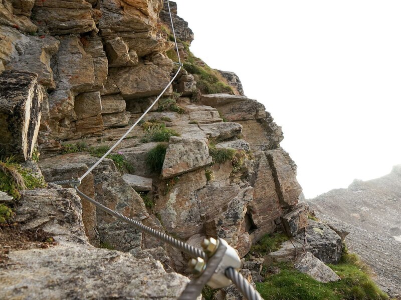
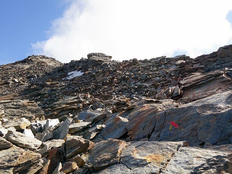
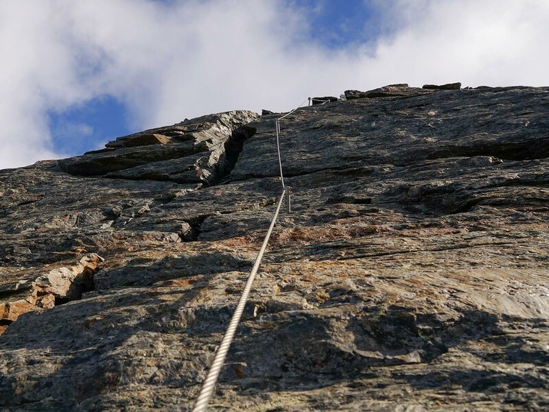
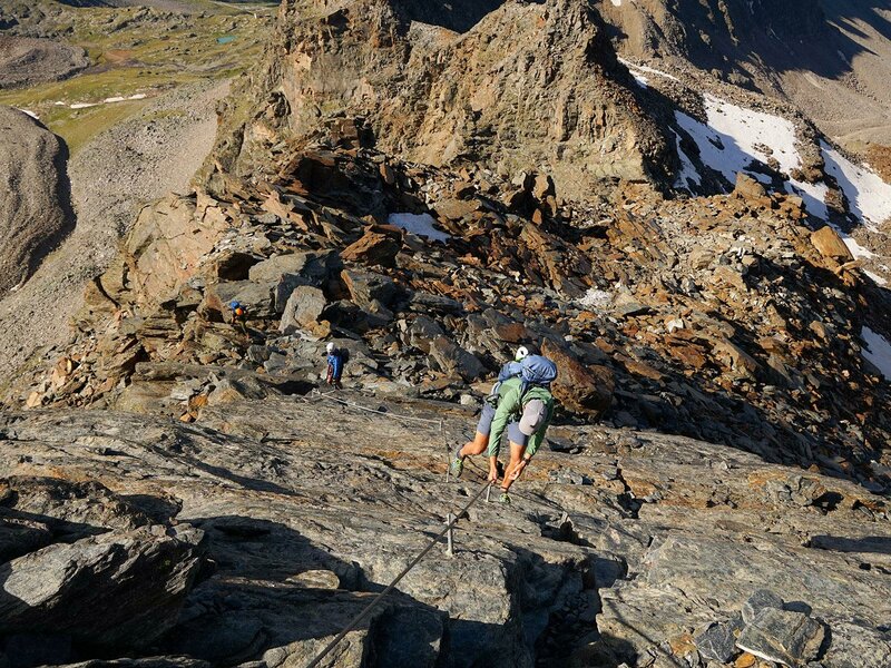
At a fork in the path, you can now decide whether to continue on the normal path or to follow the mostly very exposed via ferrata. We decide to take the normal route, which leads us up very steeply over serpentines to the wind gap. From there on, the path becomes technically more difficult. We have to climb over stone slabs, which are partly slippery and loose. A short climbing passage raises our pulse again. Then we reach the via ferrata exit. From there, only one path leads up to the summit, which should not be underestimated. Difficult and exposed passages are secured with wire ropes and iron pins.
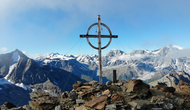
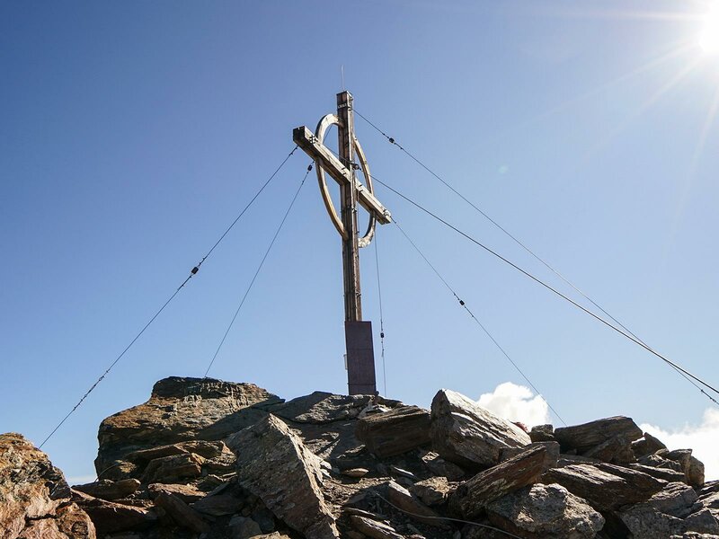
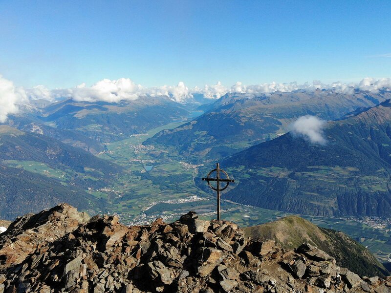
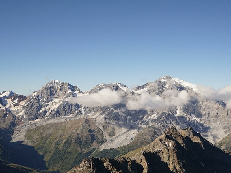
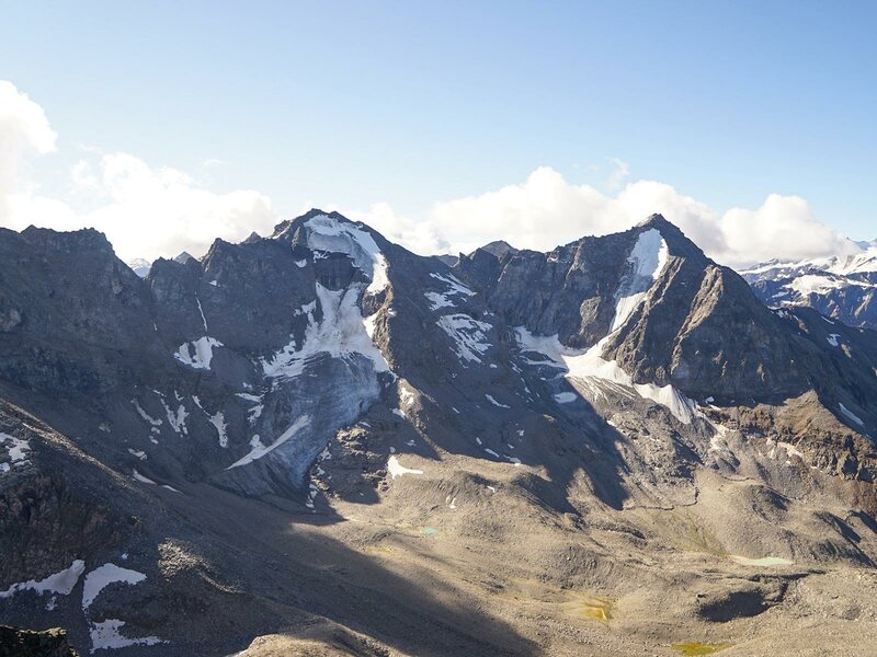
Arrived at the summit, the mighty 3,000-metre peaks of the Ortles Group are enthroned in front of us: Angelo Grande, Cima Vertana, Cevedale, Gran Zebrù, Zebrù and Ortles. And we don't miss a view on the Upper Val Venosta, which reaches as far as Lake Resia. Variant: The via ferrata on the Croda di Cengles is one of the highest via ferrata routes in the Alps. It leads, mostly exposed and partly in crossings, across the southern slopes of the Croda di Cengles up to the summit. The level of difficulty of the via ferrata is C. The mountain tour described above is not difficult for sure-footed, free from giddiness and mountain-experienced hikers. The via ferrata should only be climbed with the appropriate equipment.
Author: PG
-
- Starting point:
- parking space at the Kanzel Lift, Solda
-
- Overall time:
- 08:00 h
-
- Total route length:
- 15,3 km
-
- Altitude:
- from 1.860 m to 3.371 m
-
- Altitude difference:
- +1511 m | -1511 m
-
- Signposts:
- no. 5
-
- Destination:
- Mount Croda di Cengles
-
- Resting points:
- Alfredo Serristori Mountain Hut
-
- Recommended time of year:
- Jan Feb Mar Apr May Jun Jul Aug Sep Oct Nov Dec
-
- Download GPX track:
- Mountain tour to Mt. Croda di Cengles
If you want to do this tour, we suggest you to check the weather and trail conditions in advance and on site before setting out.