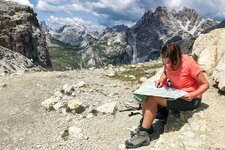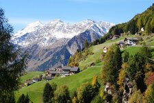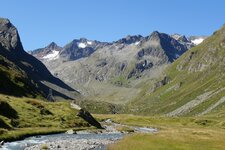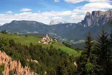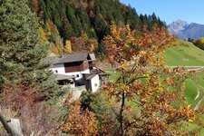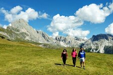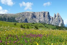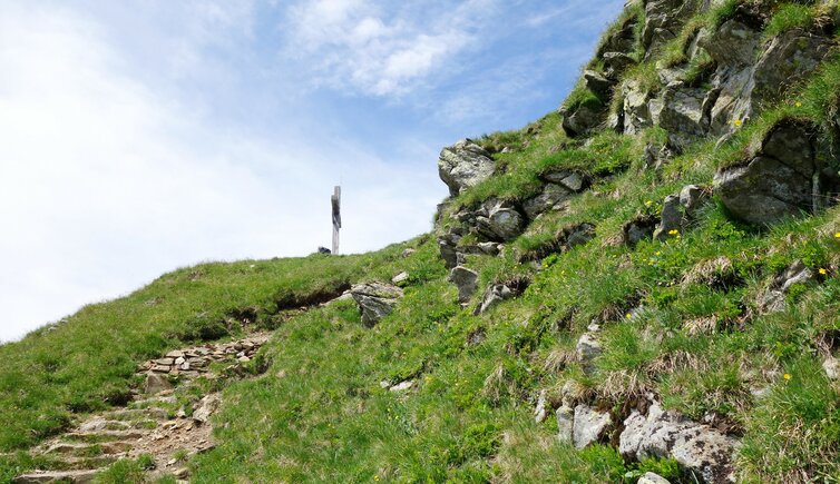
One of the region’s finest panoramic walks guides you across the Val Passiria: the Passeirer Höhenweg, or Val Passiria High Route
Image gallery: Hike on the Val Passiria High Route

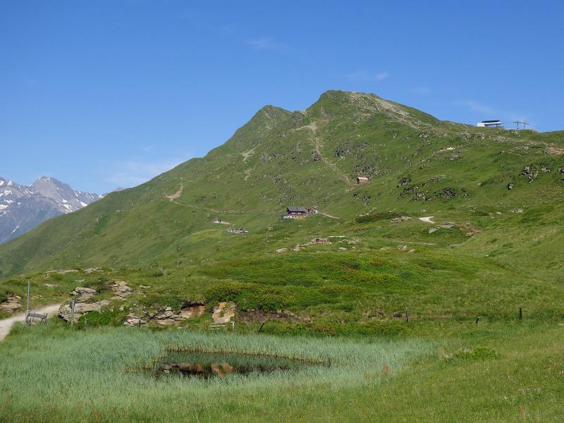
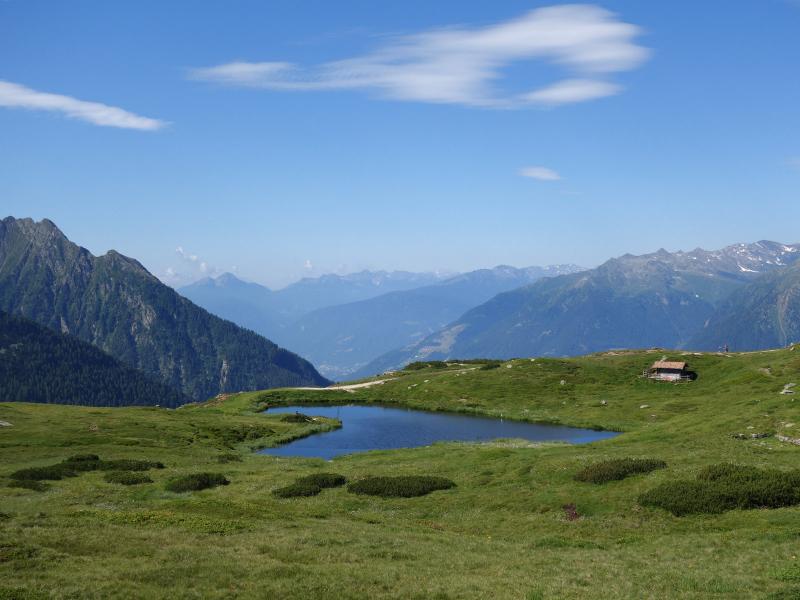
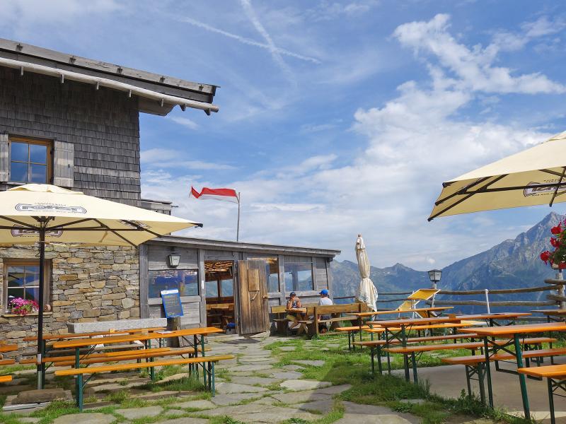
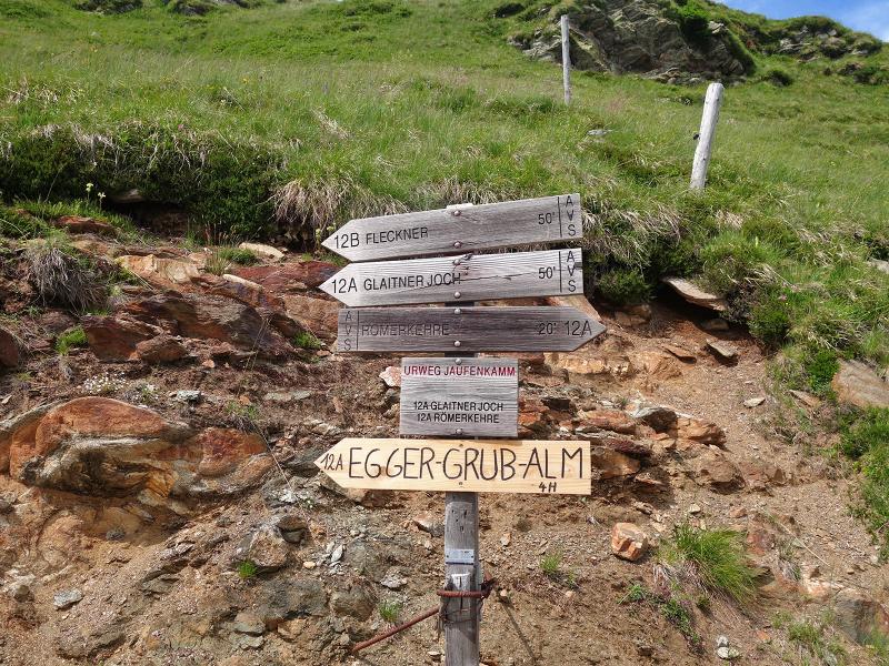
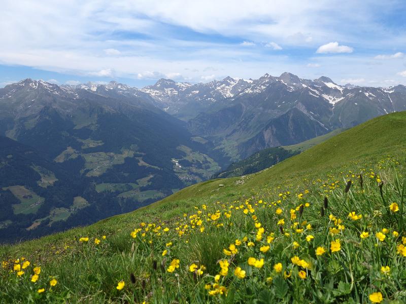
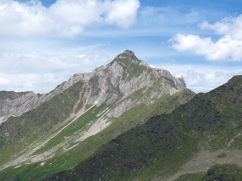
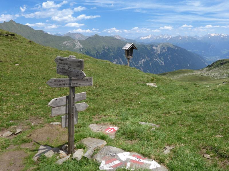
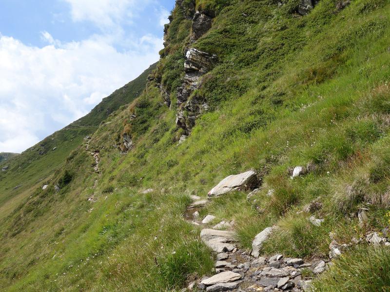
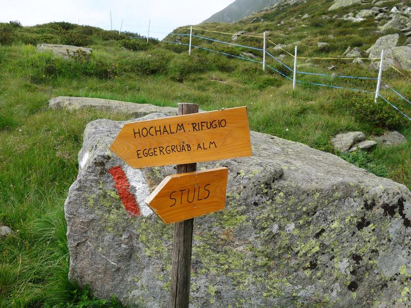
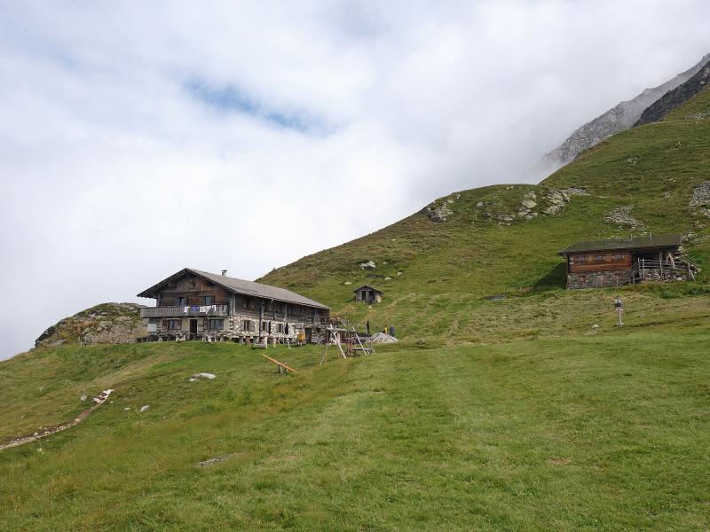
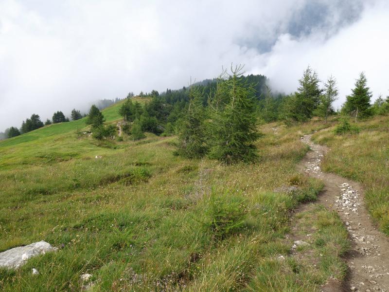
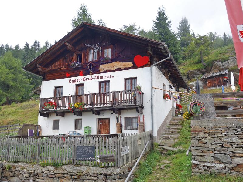
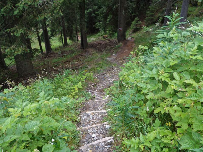
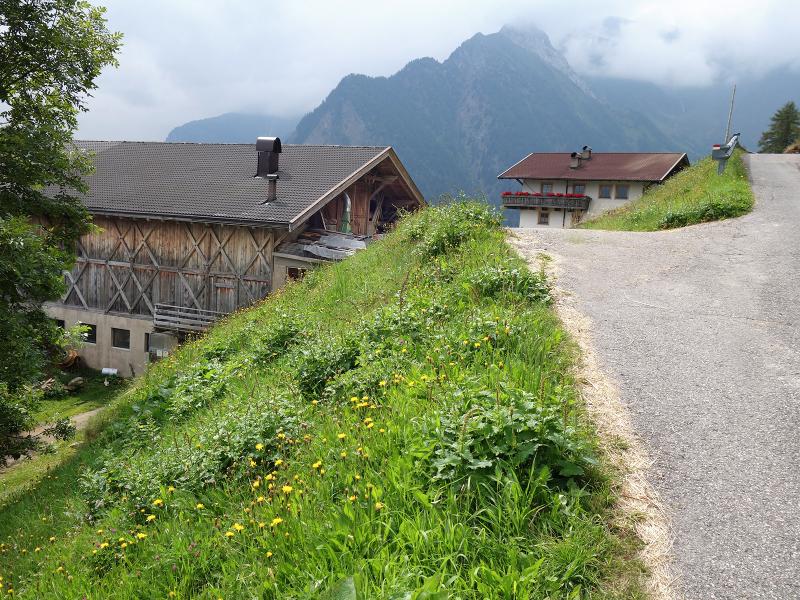

As you drive from Merano into the Val Passiria, the mighty Giovo Ridge rises behind San Leonardo. Exactly here, the Val Passiria High Route leads hikers along a 14.5-kilometre route from the Passo di Monte Giovo to the Hochalm Hut. The Giovo Ridge forms the southernmost mountain range of the Stubai Alps. The starting point for our hike is the "Römerkehre", the highest hairpin bend on the Val Passiria side of the pass road, at an altitude of 1,950 metres.
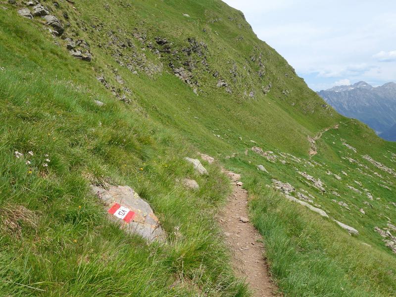
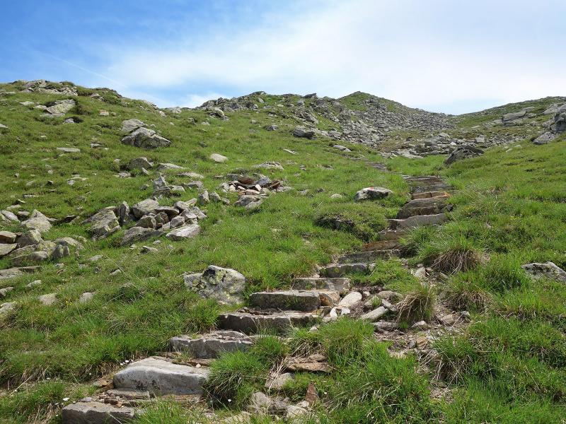
We recommend parking your car in San Leonardo and taking the bus to the starting point. From here, we walk westwards along path no. 12A to the Fleckner Hut, which is already well above the 2,000-metre mark, and continue up to the Monte Fumaiolo at 2,389 metres.
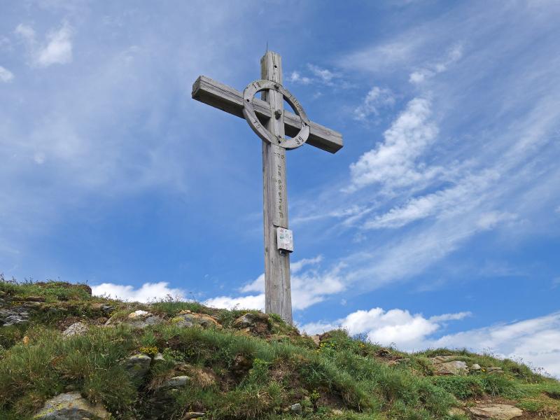
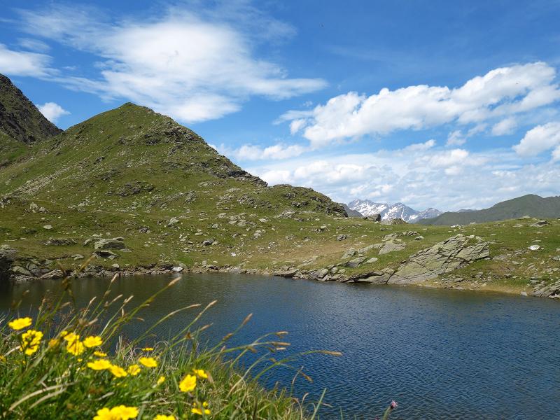
The view stretches as far as the Oetztal, Stubai, Zillertal, and Sarentino Alps - it is the highest point of the tour. The path continues over the Schlattacher Pass to the legendary Lago Malo (literally: Evil Lake). According to local myth, the sorcerer Pfeifer Huisele tried to use the lake's water to trigger a mudslide in Stulles. The ringing of the Val Passiria weather bells is said to have prevented this.
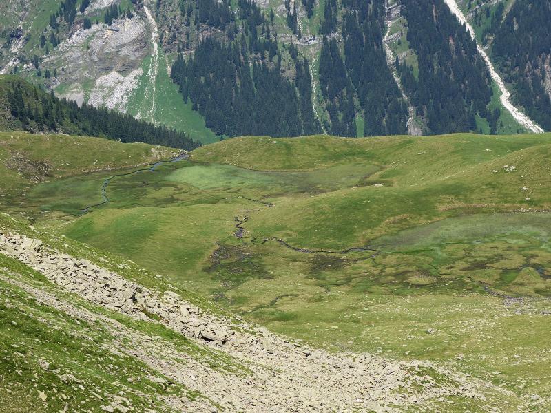
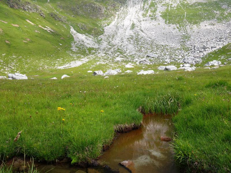
From the lake, we head west towards path no. 15, which guides us through a striking high-alpine cirque to the Hochalm Hut at an altitude of 2,174 metres. After a stop at the mountain hut, the route leads to the Egger Grub Hut (1,929 metres above sea level). From there, we descend past the Ega farms down to the village of Stulles, which lies at 1,315 metres above sea level.
East of Stulles, the prominent Silberhütt hill - known locally as "Heache" - catches the eye: Objects from the Iron Age and cup-marked stones have been found here. The walk ends in Stulles in the Upper Val Passiria (Hinterpasseier), where we take the bus back to San Leonardo.
Author: AT
Experienced: August 2019
Last updated: 2026
-
- Starting point:
- "Römerkehre" bend along the Passo di Monte Giovo road
-
- Overall time:
- 05:00 h
-
- Total route length:
- 15,3 km
-
- Altitude:
- from 1.317 m to 2.389 m
-
- Altitude difference (uphill | downhill):
- +562 m | -1185 m
-
- Route:
- "Römerkehre" bend - Fleckner Hut on the Monte Giovo Pass - Monte Fumaiolo - Schlattacher Pass - Hochalm Hut - Egger Grub Hut - Stulles
-
- Signposts:
- no. 12A, 12, 15B, 15, 26, 14
-
- Destination:
- Stulles (1,317 m a.s.l.)
-
- Resting points:
- Fleckner Hut on the Monte Giovo Pass (June to October), Hochalm Hut (May/June to October), Egger Grub Hut (May to October)
-
- Recommended time of year:
- Jan Feb Mar Apr May Jun Jul Aug Sep Oct Nov Dec
-
- Download GPX track:
- Hike on the Val Passiria High Route
-
- More information:
- The total time indicated above refers to the walking time only, excluding breaks. This applies to the hike from the "Römerkehre" bend to Stulles - the return journey is by bus. Sure-footedness and hiking boots are essential, walking poles are recommended. Given the considerable length of the route, we recommend this hike only for experienced walkers.
If you want to undertake this hike, we recommend checking the weather and trail conditions in advance and on site before starting this hike!