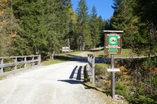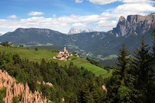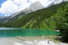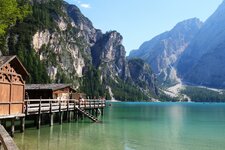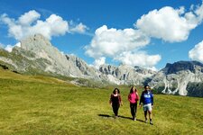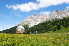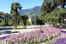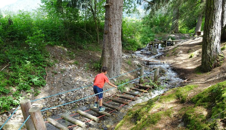
On a water adventure hike in Rasun in the Val Pusteria valley, children can playfully experience the element of water
Image gallery: “Wasserwaldile” Water Adventure Trail
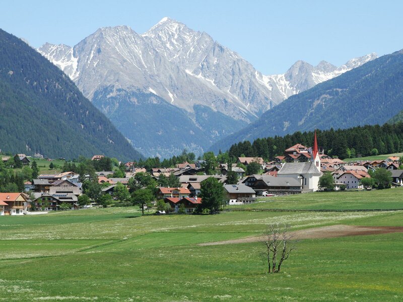
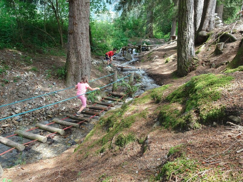
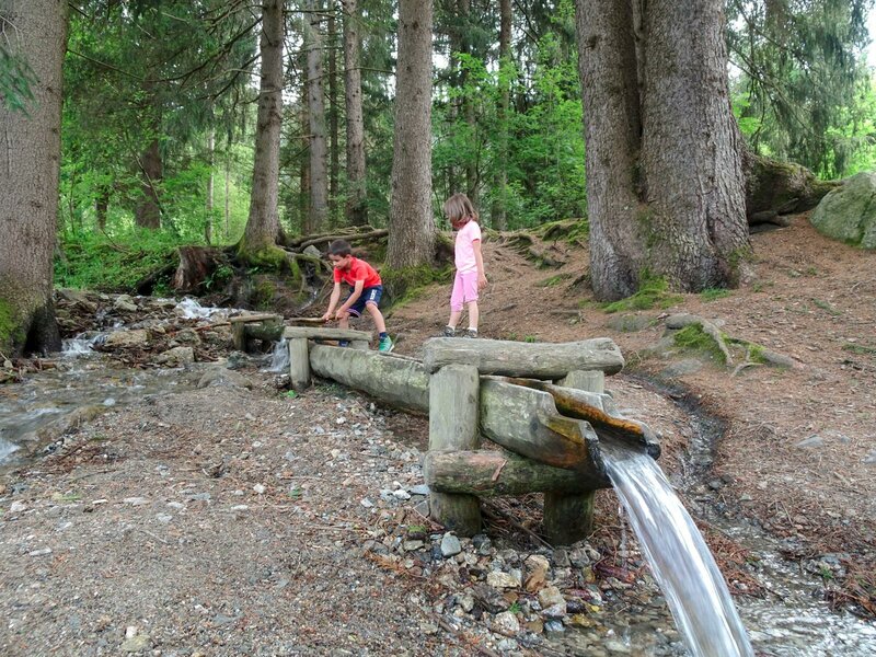
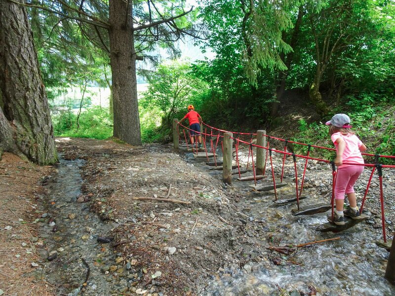
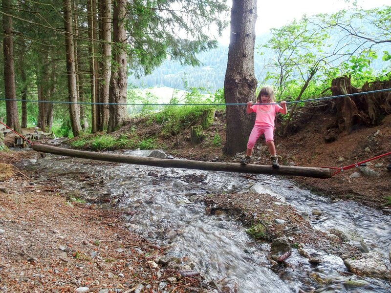
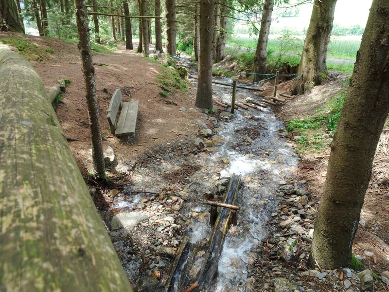
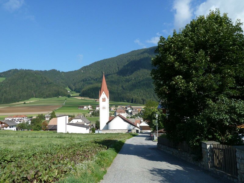
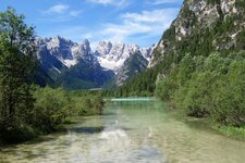
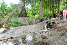
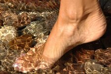
In the Upper Val Pusteria, in the area of the Vedrette di Ries-Aurina Nature Park and beautiful lakes such as Lake Anterselva and Lake Braies, a path leads families through the "Wasserwaldile" Biotope. The water is the main topic here, a popular destination for summer excursions. Various elements encourage the children's creativity: At the water course, everyone can experience how the water feels when it flows around ones own legs, sometimes warmer, sometimes colder.
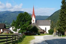
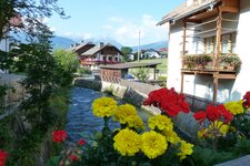
Further stations along the circular trail in Rasun di Sotto, at the entrance to the Valle di Anterselva valley, offer space for balancing and building, for discovering and marvelling. Stepping stones connect the two banks of the stream in the water experience area. The visit can also be combined with a nice hike: From the "Wasserwaldile", it takes a little more than one hour to walk towards Rasun di Sopra and - always along the river - back to Rasun di Sotto and the water area (3.9 km).
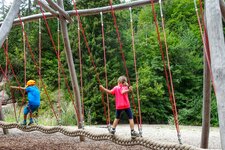
The centrepiece is the ball run "Anton's Journey through the Valley of Water Games", a nature-inspired experience stretching across Anterselva (with ball dispensers at the start). A visit to the Kneipp facility in the Rasun di Sotto leisure park provides a perfect end to the day. For families, it also features the new tree castle. Anton's Tree Castle is a unique play and climbing structure with towers and walkways, combining the joy of movement with a nature experience.
Contact info
- "Wasserwaldile" Biotope - 39030 - Rasun di Sotto / Niederrasen
- +39 0474 496269
- info@antholzertal.com
Opening times
Always open
Admission
Water Adventure Trail freely accessible
---------------------
water ball run:
€ 2.00 ball at the ball dispenser
More information
The biotope is freely accessible, water play area recommended during the summer months.