A hike along a linguistic and cultural border, standing out for its landscape and botanical diversity
Image gallery: Alpine pasture walk around Proves
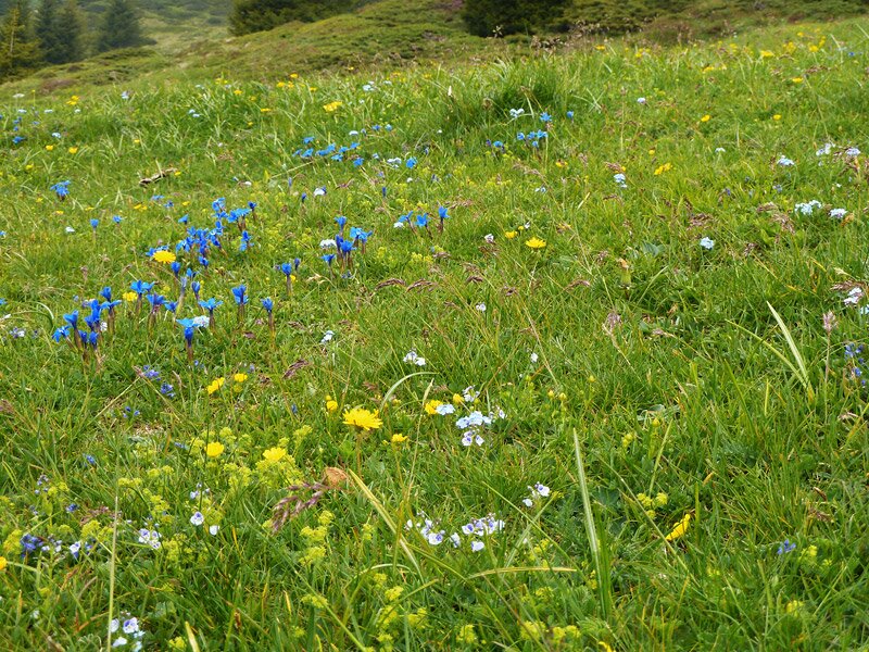
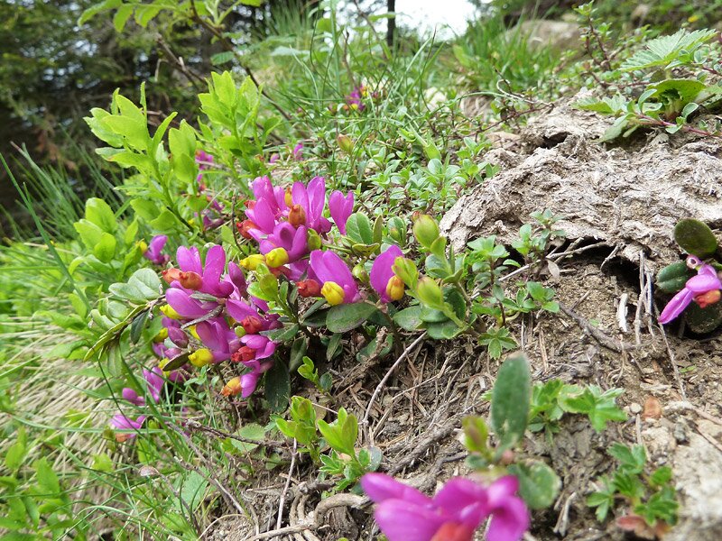
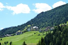
At the end of June, the slopes of Proves and Lauregno are in full bloom. Our hike starts at the car park between the two tunnels on the Passo Castrin road. It is located at the top of the pass that connects the Val d'Ultimo with these two villages, which still belong to South Tyrol. For centuries, the area southwest of the Passo Castrin in the Upper Val di Non has been shared as an Alpine pasture by both German and Italian village communities.
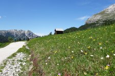
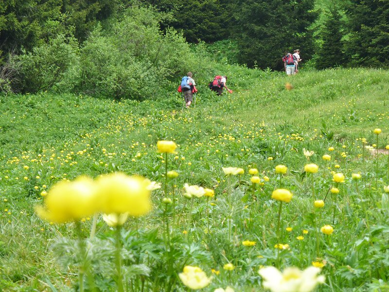
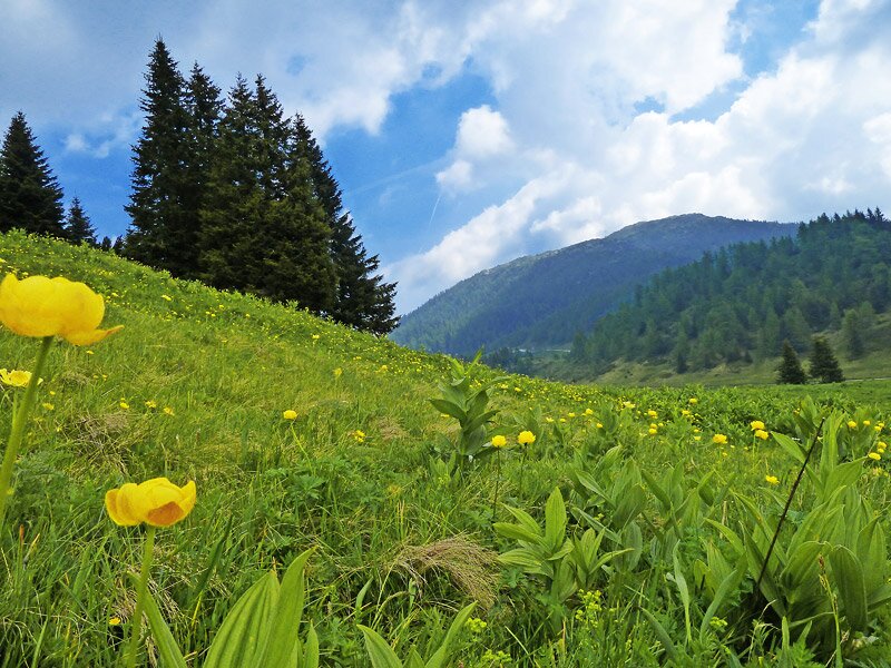
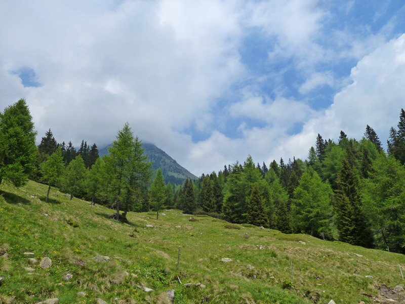
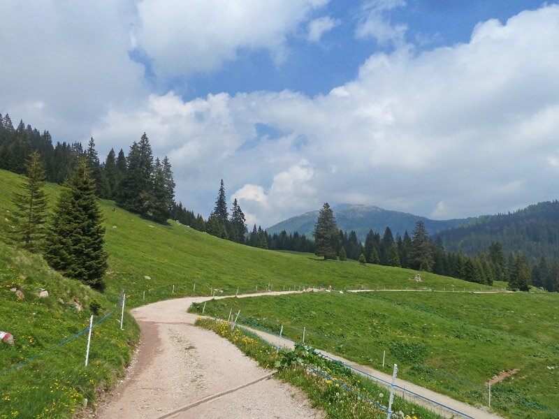
This is also the site of the watershed between the Valsura River in the Val d'Ultimo and the Pescara stream, which flows into the Santa Giustina Reservoir in the Val di Non. Path no. 8 towards the Castrin Hut leads us uphill along the roadside in a northerly direction. After a few minutes of walking through the forest, we find ourselves on the Malga Castrin pasture, surrounded by an abundance of orchids and countless Alpine flowers at an altitude of 1,814 metres.
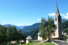
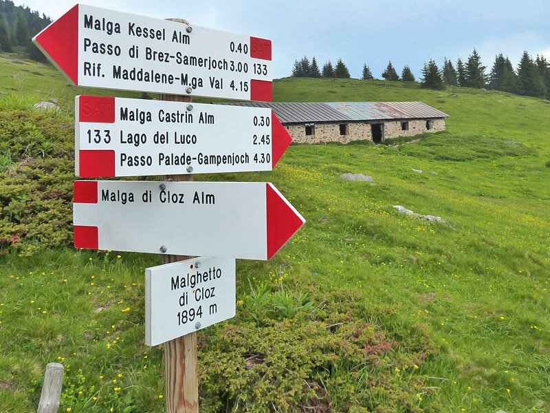
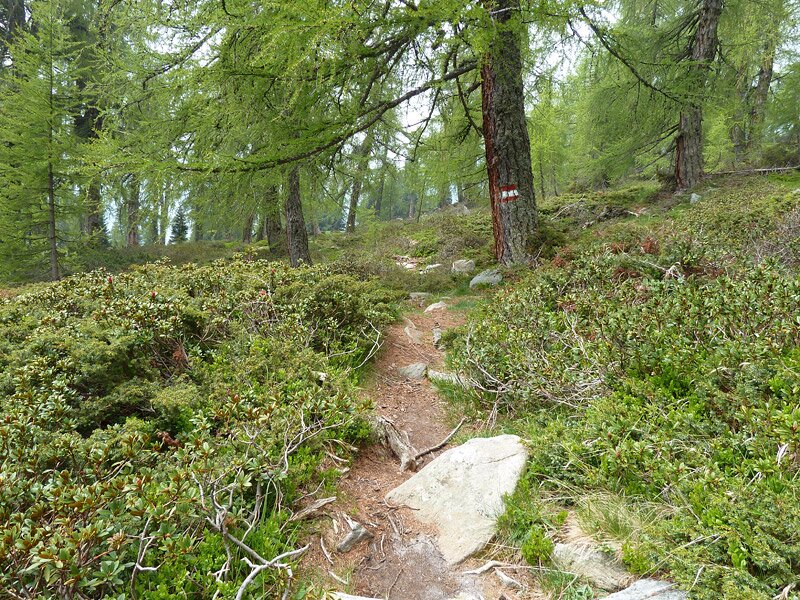
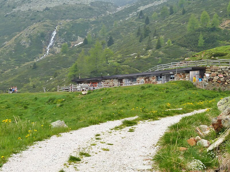
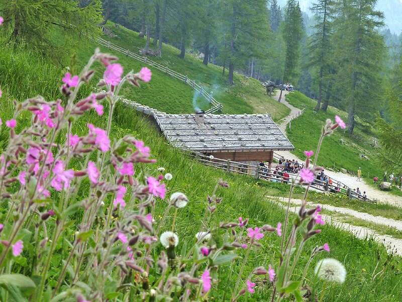
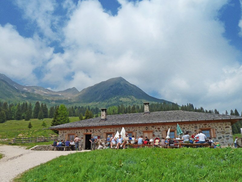
Here, path no. 133 branches off to the left. It winds upwards to the forest, soon followed by the meadows of the Malghetto di Cloz. We stay on path no. 133, which leads us through the larch and pine forest to the Kesselalm in a basin (called "Kessel" in local dialect), formed by the Cima Belmonte, Mt. Vedetta Alta, and the Monte Ometto. We follow the forest track downhill to the serviced Untere Kesselalm, a popular rest point, and continue to the Revò Hut and the Cloz Hut.
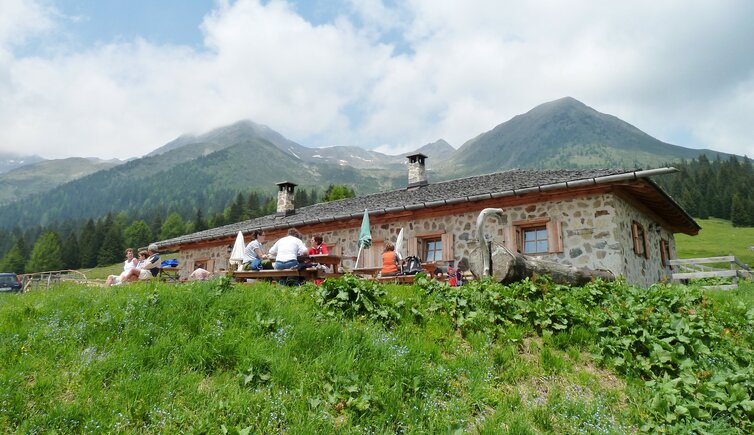
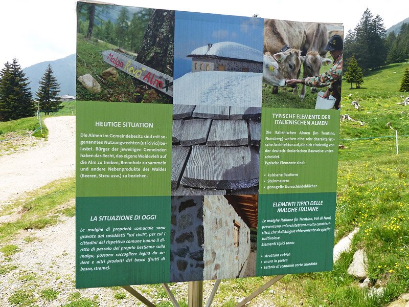
These two alpine pastures belong to the village communities of Cloz and Revò in the Italian-speaking Val di Non valley in Trentino. With their stone walls, they also differ architecturally from the predominantly wooden huts of the South Tyrolean Upper Val di Non. A pleasantly wide path leads from here back to the car park, which we reach after just over two and a half hours.
Author: AT
Experienced: June 2013
Last updated: 2026
-
- Starting point:
- parking space at the Passo Castrin (also reachable by the Ultimo-Proves-Lauregno bus line)
-
- Overall time:
- 02:40 h
-
- Total route length:
- 7,3 km
-
- Altitude:
- from 1.688 m to 1.935 m
-
- Altitude difference (uphill | downhill):
- +405 m | -405 m
-
- Route:
- Malghetto di Cloz - Obere Kesselalm - Untere Kesselalm - Revò Hut - Cloz Hut
-
- Signposts:
- no. 8, 133, 7, 11, 6, 8
-
- Resting points:
- Untere Kesselalm (June to October), Revò Hut (May to All Saints), Cloz Hut (June to October)
-
- Recommended time of year:
- Jan Feb Mar Apr May Jun Jul Aug Sep Oct Nov Dec
-
- Download GPX track:
- Alpine pasture walk around Proves
-
- More information:
- The overall time shown above refers to the walking time only, not including breaks or stops.
If you want to undertake this hike, we recommend checking the weather and trail conditions in advance and on site before starting this hike!