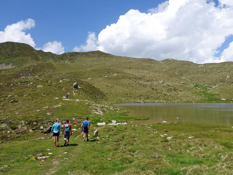
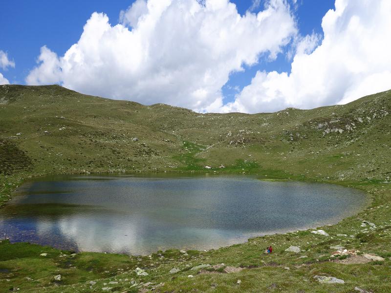
This tour leads from the hiking parking space above the mountain hamlet of Aschbach near Chienes up to the Moarhofalm tavern and on to Lake Rio Verde at more than 2,260 m a.s.l
Image gallery: Hike on the Marmot Trail
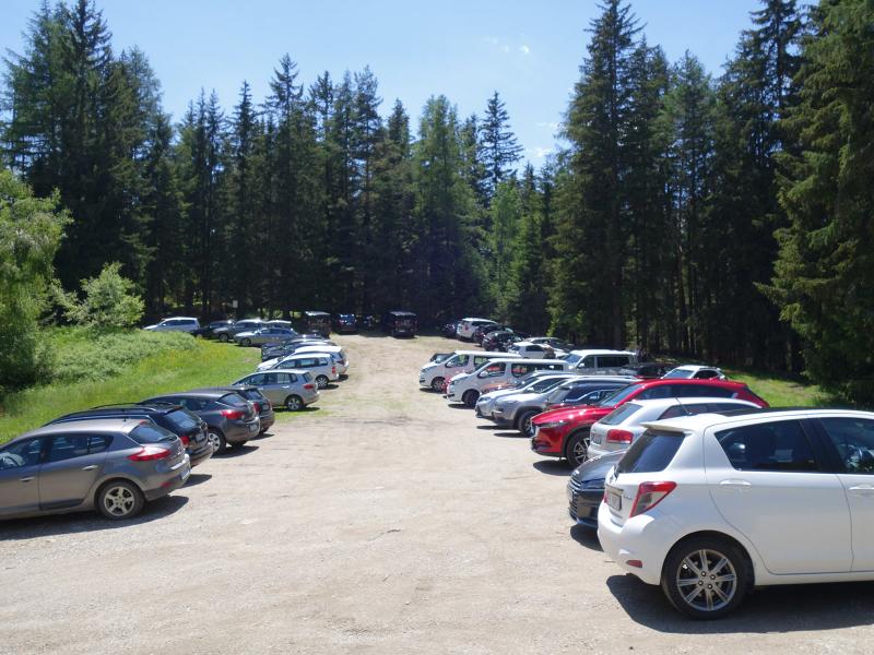
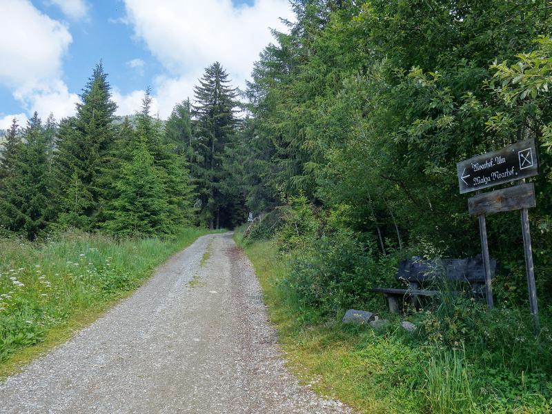
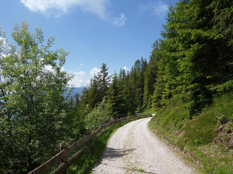
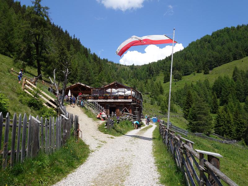
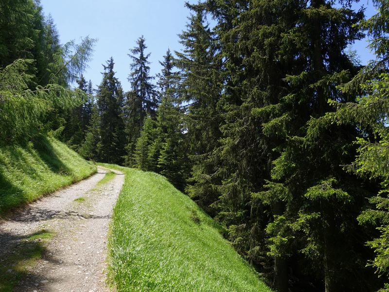
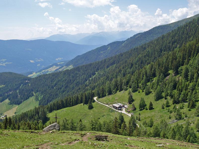
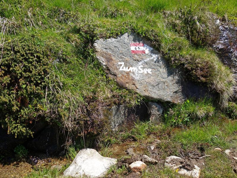
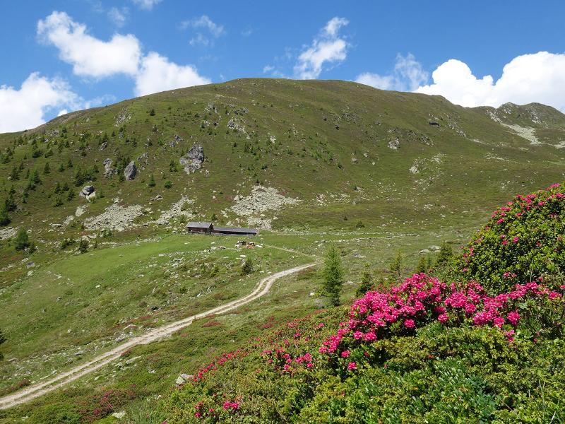
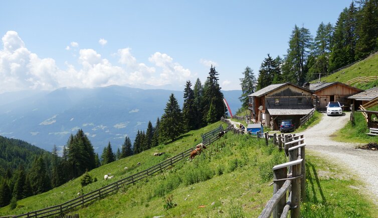
We reach the starting point of this hike via the mountain road, which branches off the Val Pusteria Sun Road at Corti (Hofern) and leads to the Aschbach farms. By car we drive to the "Gelenke" car park at the end of the road, at about 1,580 m a.s.l. We start along the forest road (marker no. 65), which leads comfortably through the forest (a shortcut is possible via a steeper forest path). This path takes us to the Moarhofalm mountain hut, a popular stopover with a tavern.
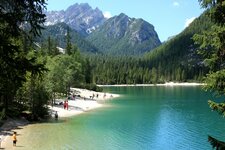
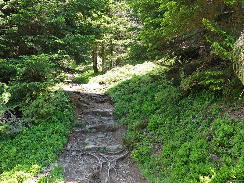
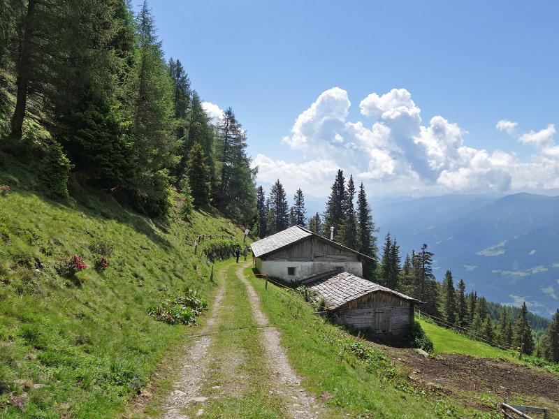
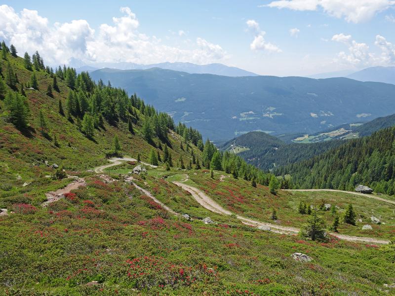
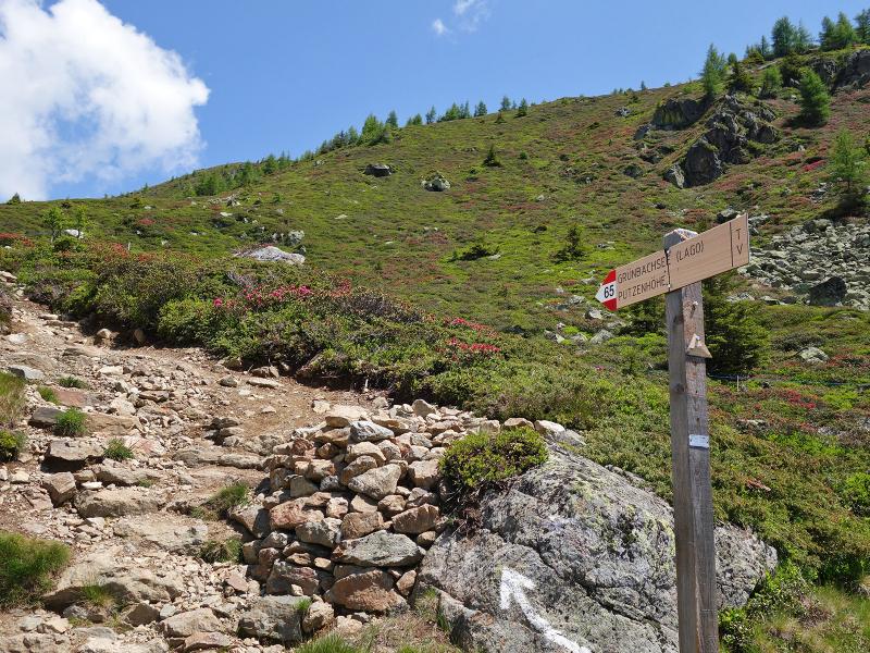
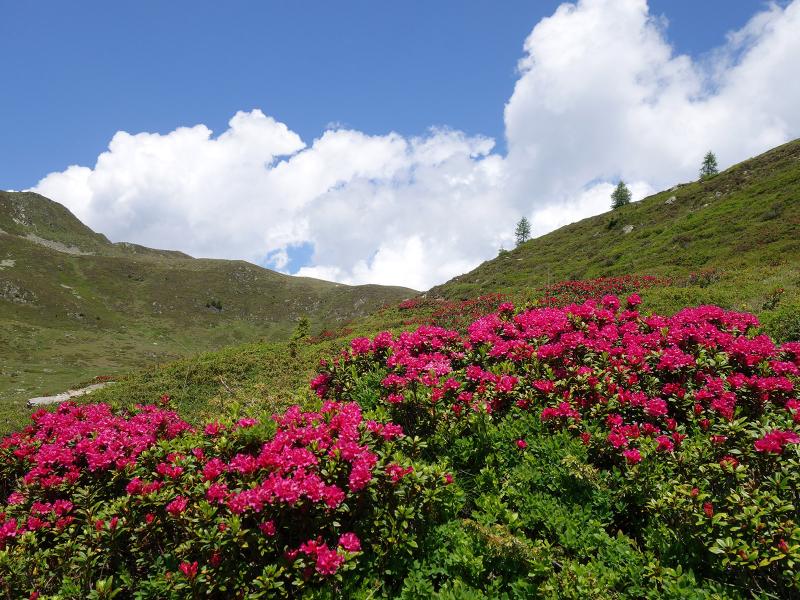
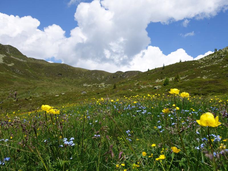
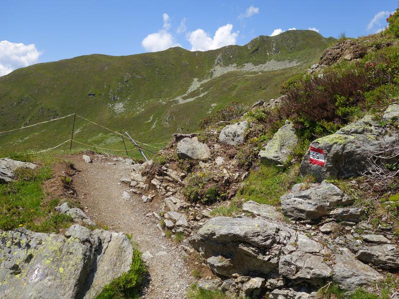
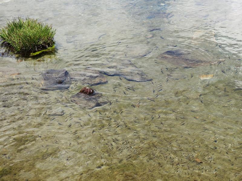
The forest path leads further up to the Rio Verde Alpine Pastures. The trail ends at the upper Rio Verde Mountain Hut (Grünbachalm) at about 2,100 m a.s.l. in the area of the timberline. Here we follow path no. 65 further uphill - it ascends through a landscape of flowering alpine roses (blooming at the end of June - beginning of July) up to the peak of Mt. Cima di Pozzo (Putzenhöhe) at 2,438 m a.s.l.. But we don't want to hike that high - our destination is the beautiful Lago Rio Verde lake (Grünbachsee), which is located at 2,260 m a.s.l.
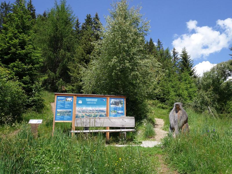
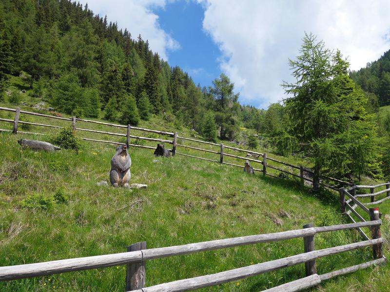
Not only the beautiful lake and the alpine flora, but also the view is wonderful from here: Directly opposite we can see numerous Dolomite peaks, below us the valley. The descent follows the same path. A visit to the Moarhof Mountain Hut is of course not to be missed. Along the way there are numerous information boards of the Murmeltierweg (Marmot Trail), which explain interesting facts about the life of this alpine species in a way that is suitable for children. The path to the Moarhofalm and the upper Rio Verde Mountain Hut is easy and also suitable for prams, while the last section runs on a narrow path (hiking boots and walking sticks recommended).
Author: AT
-
- Starting point:
- hiking car park "Gelenke" near Aschbach
-
- Overall time:
- 04:20 h
-
- Total route length:
- 11,7 km
-
- Altitude:
- from 1.592 m to 2.252 m
-
- Altitude difference:
- +661 m | -661 m
-
- Route:
- Gelenke forest path - Moarhofalm hut - Rio Verde Alpine Pastures - Lake Rio Verde
-
- Signposts:
- no. 65, "Murmeltierweg"
-
- Destination:
- Grünbachsee / Lake Rio Verde
-
- Resting points:
- Moarhofalm
-
- Recommended time of year:
- Jan Feb Mar Apr May Jun Jul Aug Sep Oct Nov Dec
-
- Download GPX track:
- Hike on the Marmot Trail
If you want to do this hike, we suggest you to check the weather and trail conditions in advance and on site before setting out.