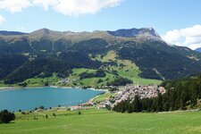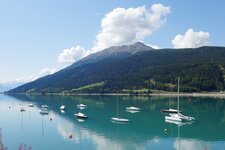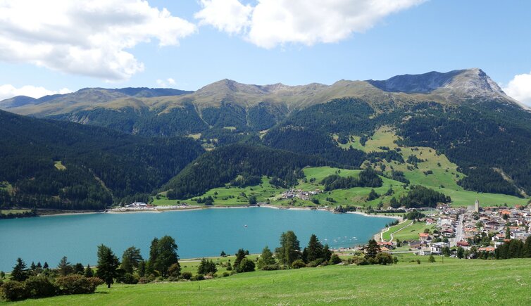
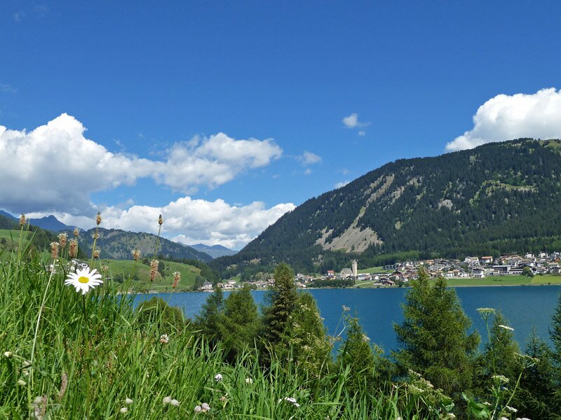
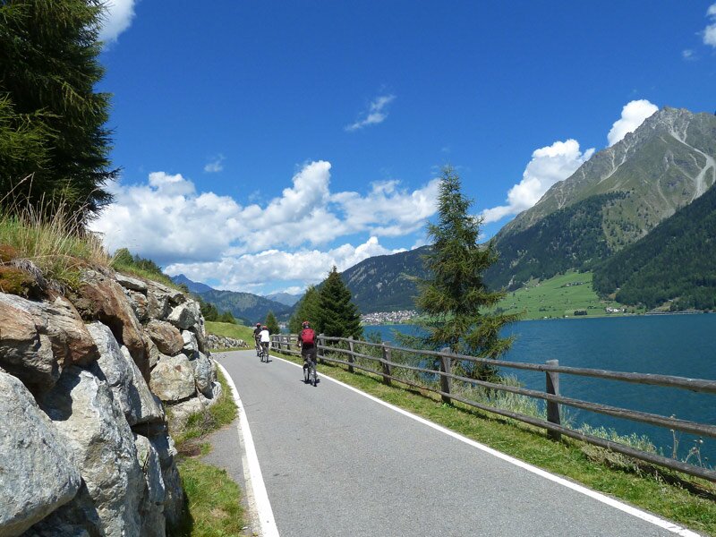
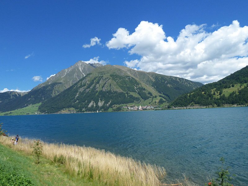
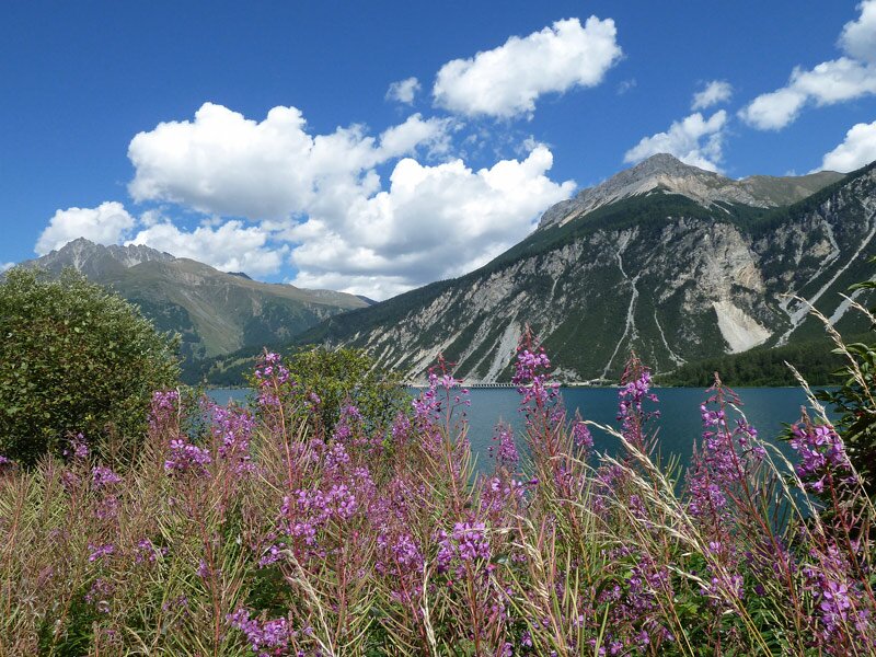
The largest lake of South Tyrol is surrounded by a 15 km long promenade, ideal for a walkig tour on a day like today
Image gallery: Hike around the Lago di Resia lake


Note: From the end of March to June 2024, the water level of Lake Resia will be drastically lowered in order to relocate and secure the state highway and bicycle path.
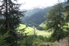
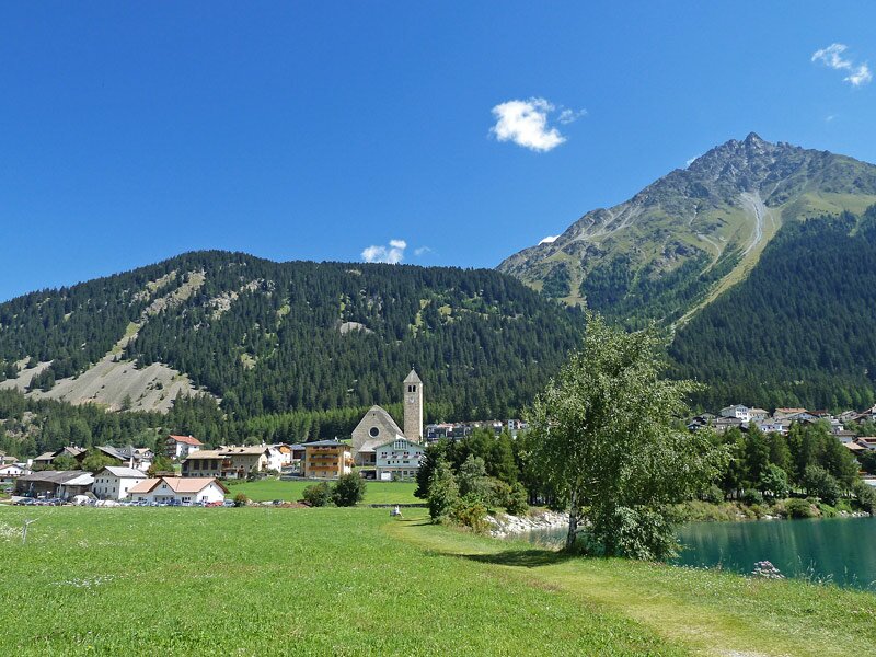
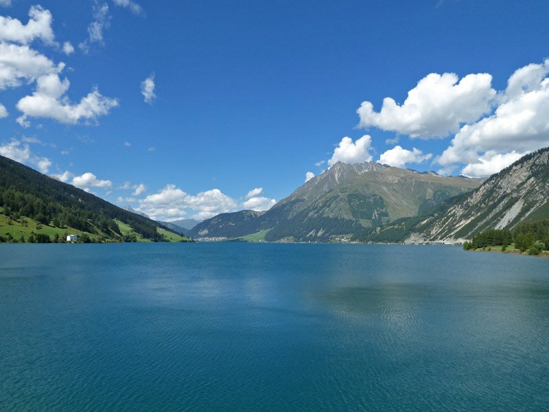
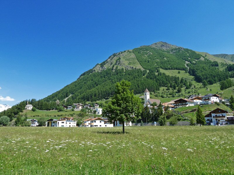
Only few km in the south of the Italian-Austrian border, at the Passo Resia, there is the village Resia (Reschen) which is the starting and end point of our walk, but of course you could also start from Curon Venosta, San Valentino or any other place round the lake. Across the meadows at the northern bank, we walk to the western lakeside, where we continue past the funicular station along the cycling and promenading route, which we walk towards south.
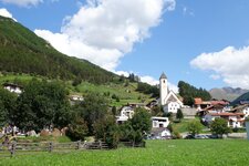
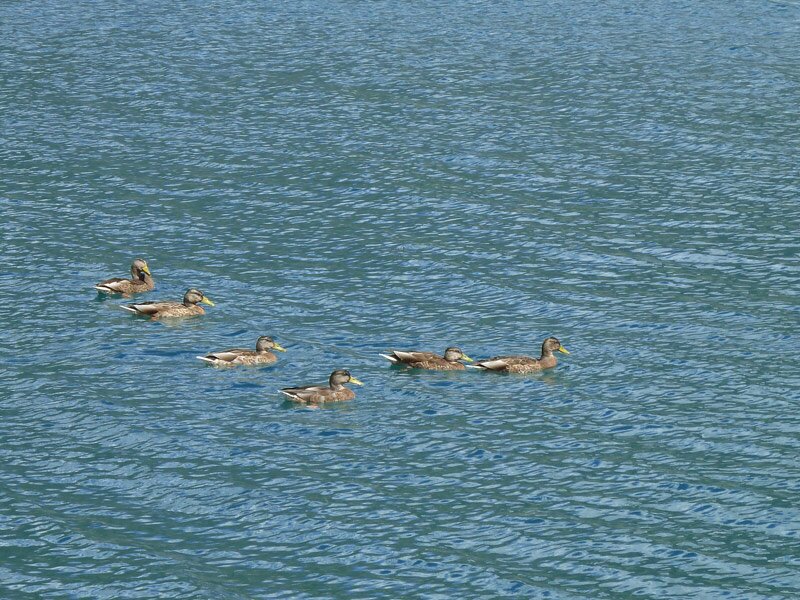
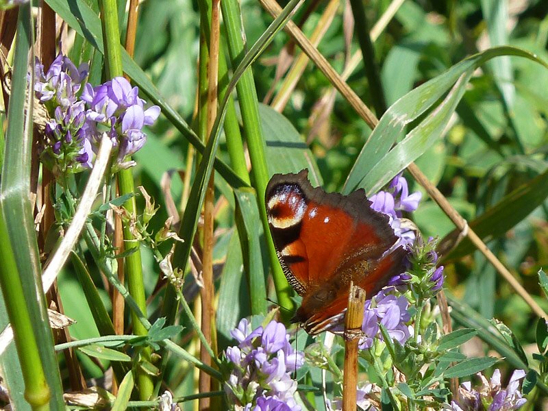
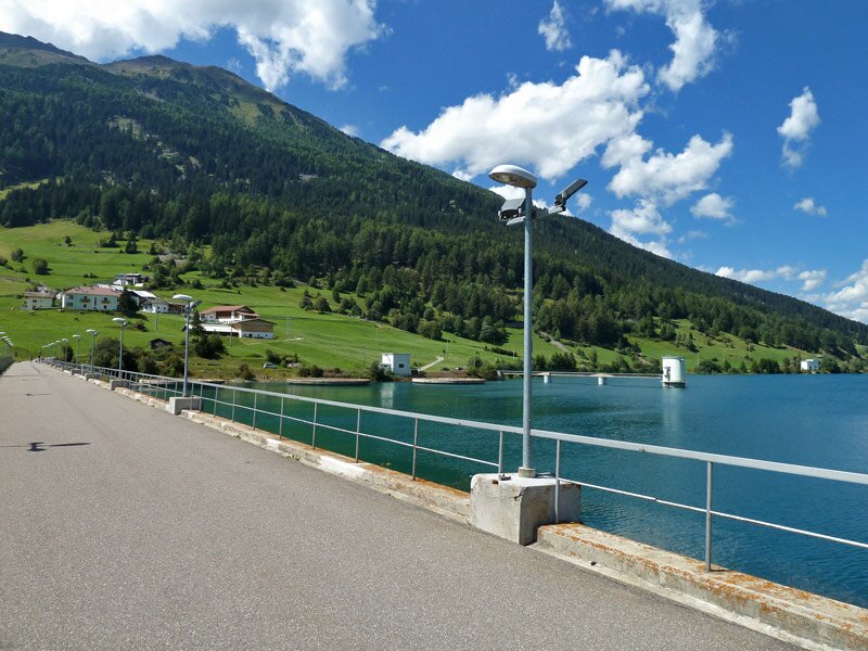
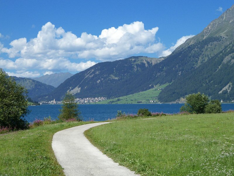
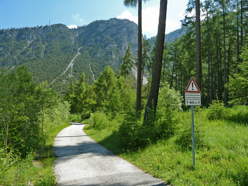
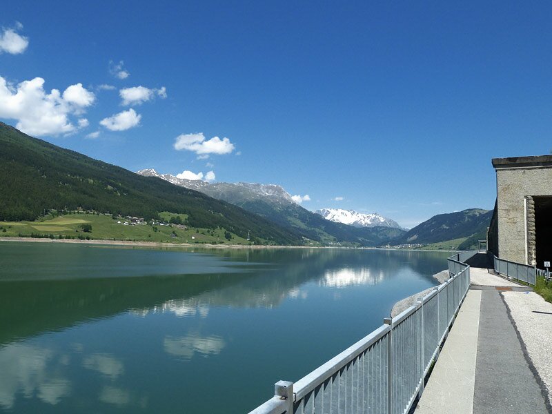
It might be seen as blessing or curse that the path is asphalted, but that makes it also possible to walk with a buggy. The landscape at the edge of the forest alternates with green meadows, but the real eye-catcher is of course the lake. Opposite you can see Curon Venosta (Graun im Vinschgau) and the entrance to the Vallunga valley. If you take your time to observe nature at close range, you will also discover ducks, dragonflies, butterflies and flowers along the path. After a walk of about 8 lm we reach the southern lakeside. The power plant reminds us on the fact that this charming lake is an artificial creation of humans. Across a thick dam wall we walk on the other side.
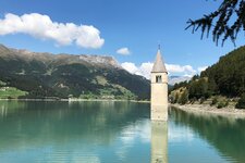
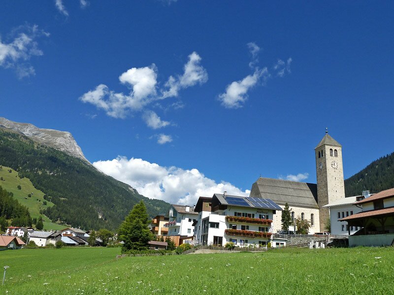
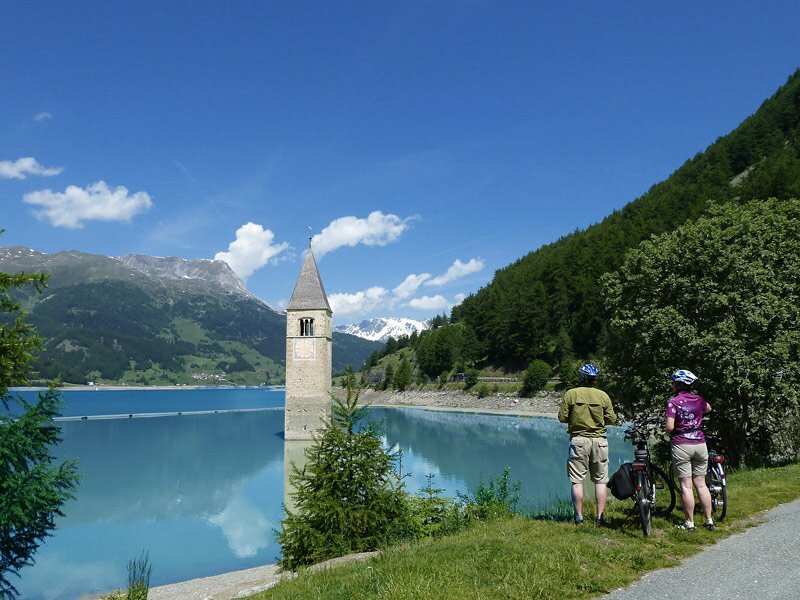
This is where the path mainly follows the road to Passo Resia and Curon and then back to Resia. We also pass by the tragic emblem of the Upper Val Venosta, which is the Church Tower of Curon Vecchia, which has stood the test of time and the devastating catastrophe of 1950, while an entire village sank in the waters.
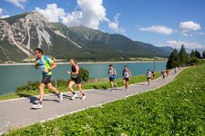
The tour of the lake does not present difficulties, but due to its length of over 15 km, it should not be underestimated. You can also do half of the trail and take the bus for returning to the starting point. Ideal also for buggies, as the trail is mainly asphalted. This hike is also ideal as family bike tour.
Author: AT
-
- Starting point:
- Resia
-
- Overall time:
- 03:50 h
-
- Total route length:
- 15,3 km
-
- Altitude:
- from 1.491 m to 1.533 m
-
- Altitude difference:
- +54 m | -54 m
-
- Route:
- Resia - Froi - Schöneben / Belpiano valley station - Giern-Hof - Spin - dam wall - Curon - Arlund - Resia
-
- Resting points:
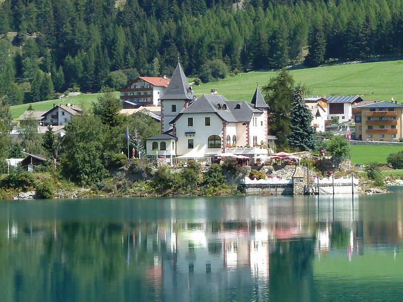
- Schlössel am See, Giern-Hof, restaurants at Curon
-
- Recommended time of year:
- Jan Feb Mar Apr May Jun Jul Aug Sep Oct Nov Dec
-
- Download GPX track:
- Hike around the Lago di Resia lake
If you want to do this hike, we suggest you to check the weather and trail conditions in advance and on site before setting out.