“Limit experience” between the Italian Val Venosta, the Austrian Inntal and the Swiss Engadine, a walk in a border triangle - the highlight is the incomparable beauty of this high-alpine area
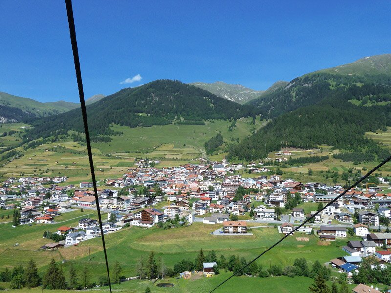
Image gallery: Hike to the Boundary Stone in the border triangle

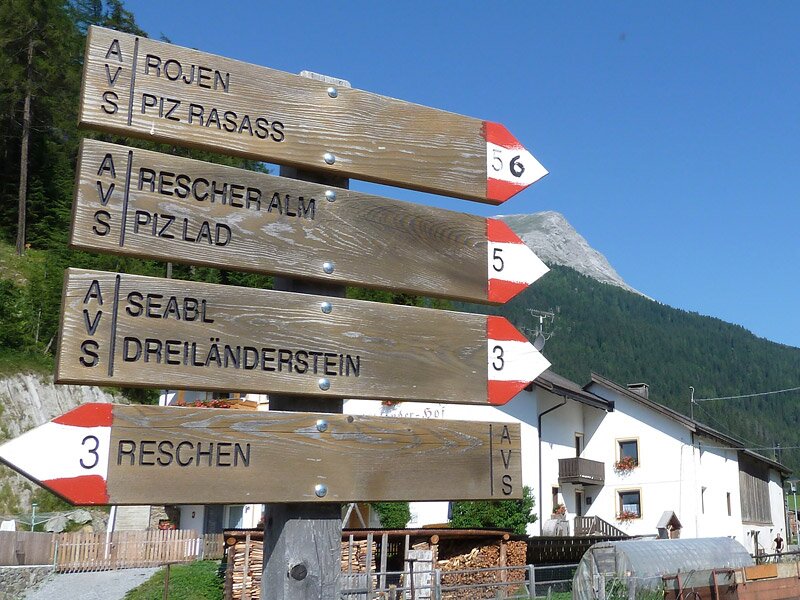
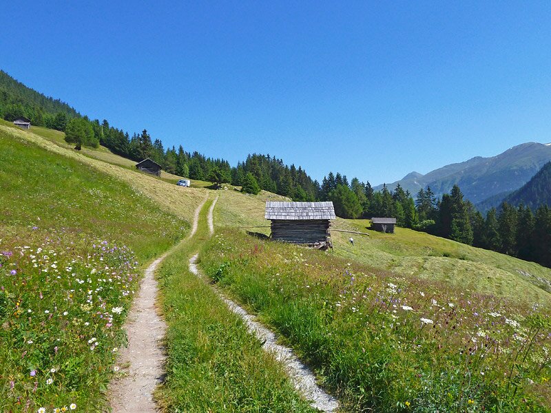
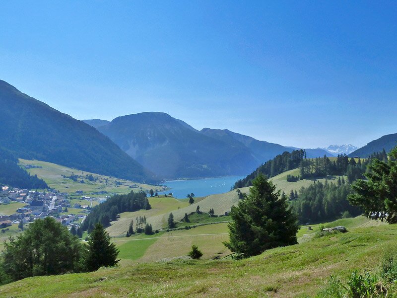
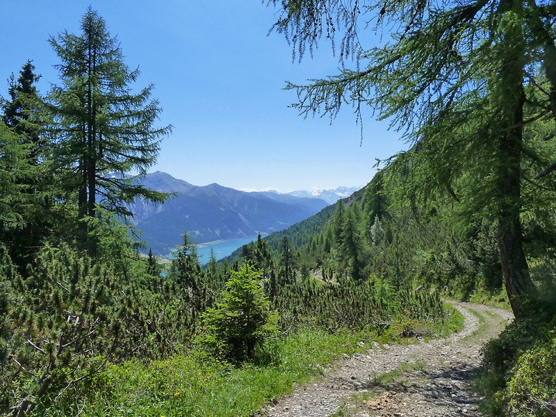
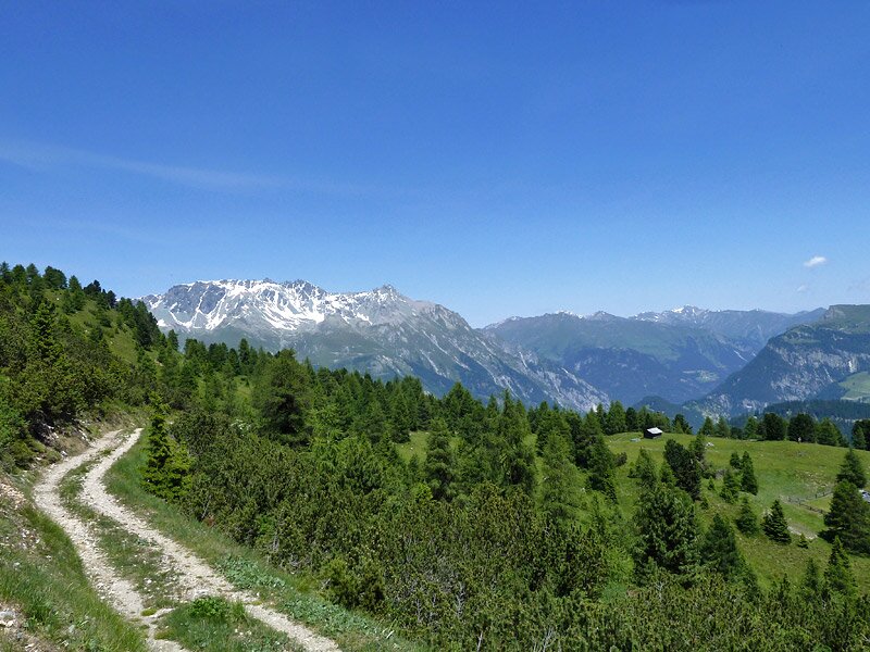
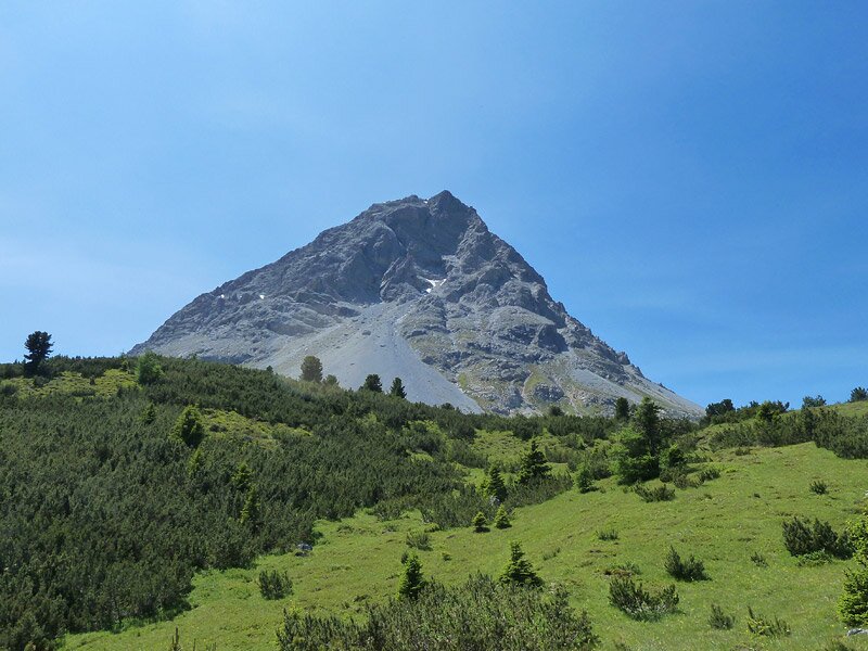
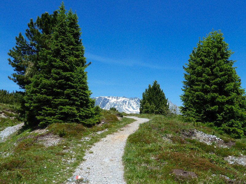
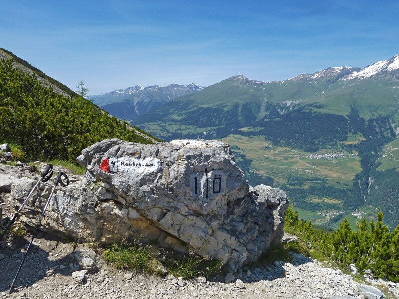
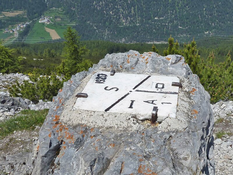
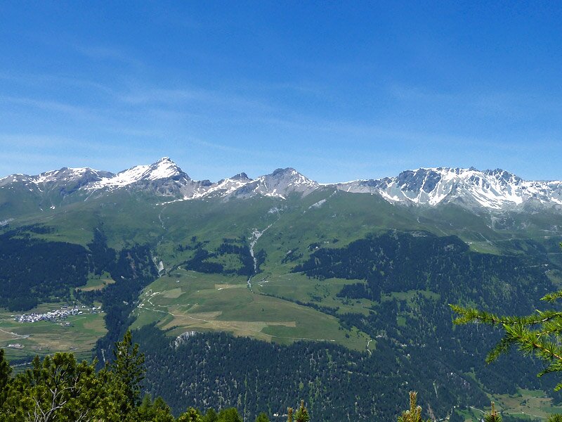
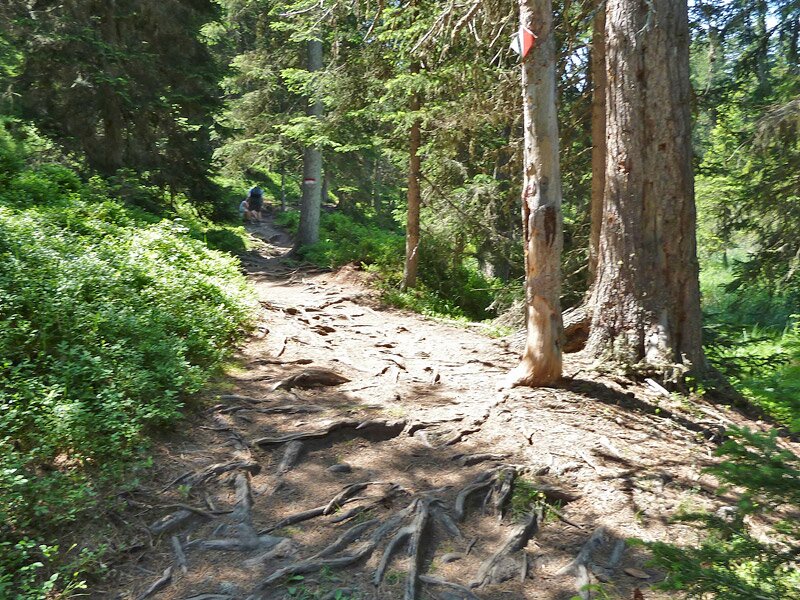
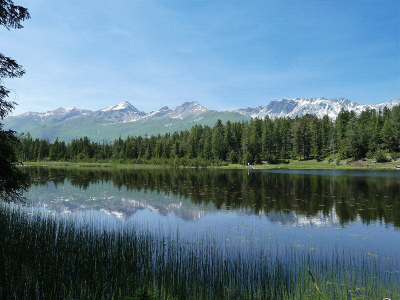
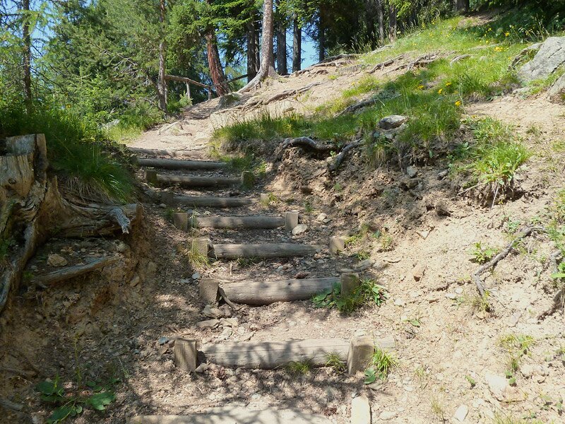
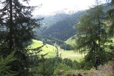
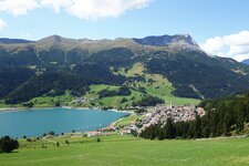
From the centre of Resia (Reschen), we follow the road towards north, and then we take the path no. 3 signposted "Dreiländereck" (border triangle). Soon we walk up the eastern slope of Mt. Piz Lad, across meadows and larch forests, the eye-catcher from here is the deep blue Lake Resia. Broad paths and narrow sections alternate, and so we reach the high path and the junction where the left path leads to the tri-border region. In front of us the Lower Engadine and the Samnaun Alps with the snow-covered Mt. Muttler, down in the valley the Inn river, representing the border to the Austrian state of Tyrol. In a walk of about three hours, we reach the highest point of this walk, which is the "Dreiländerstein" (boundary stone in the border triangle).
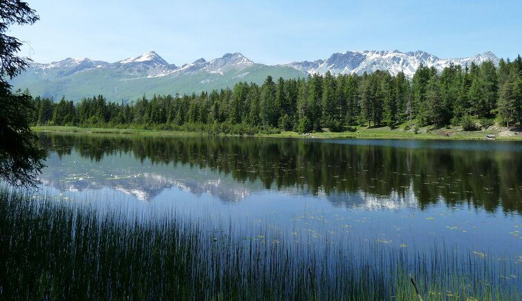
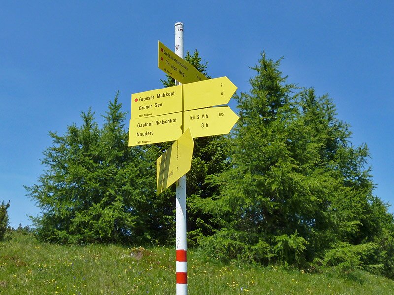
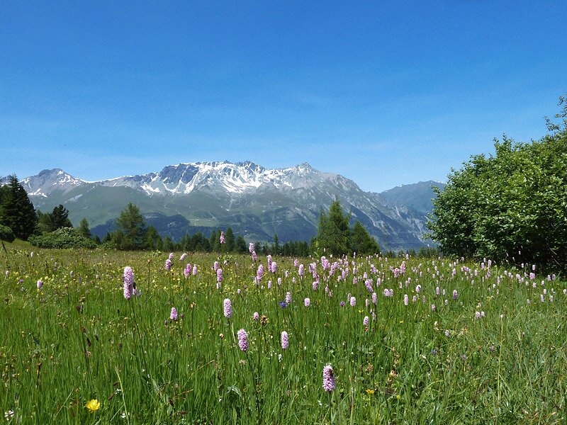
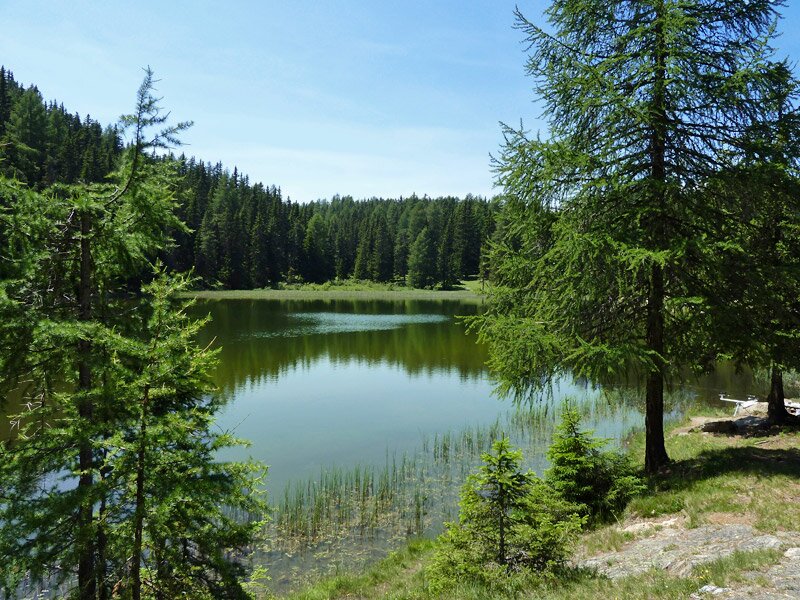
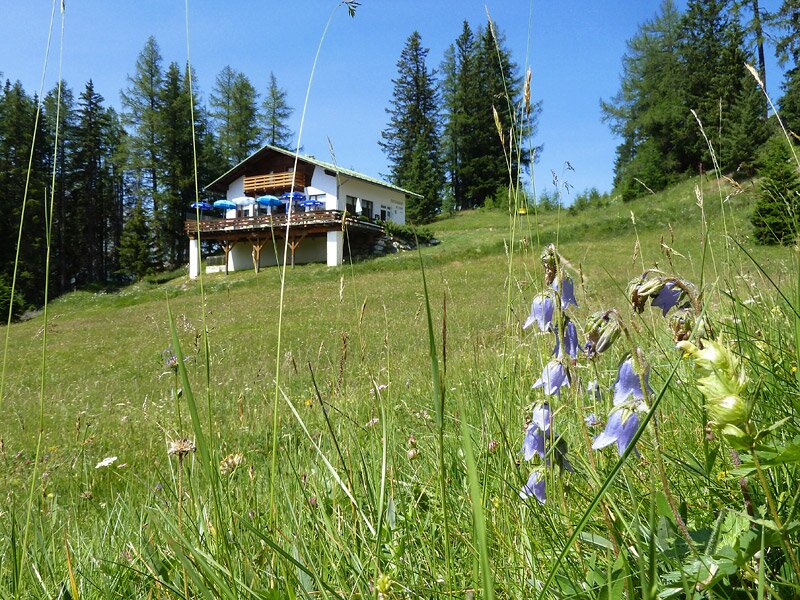
The stone itself is not really something special, but the fact that it is located exactly in the border triangle. If you sit on it, you sit in three countries in the same time. So we dare to make two steps to Switzerland, as you can't go further, because the trail ends. We proceed our walk towards Austria, walking back for about 15 minutes to the junction, where we follow the mark "Grüner See" (Green Lake). This path leads us to the Gufra Meadows, featuring a protected flora of the special kind. In the course of the descent, we reach Lake Waldsee, where we stop for a break.
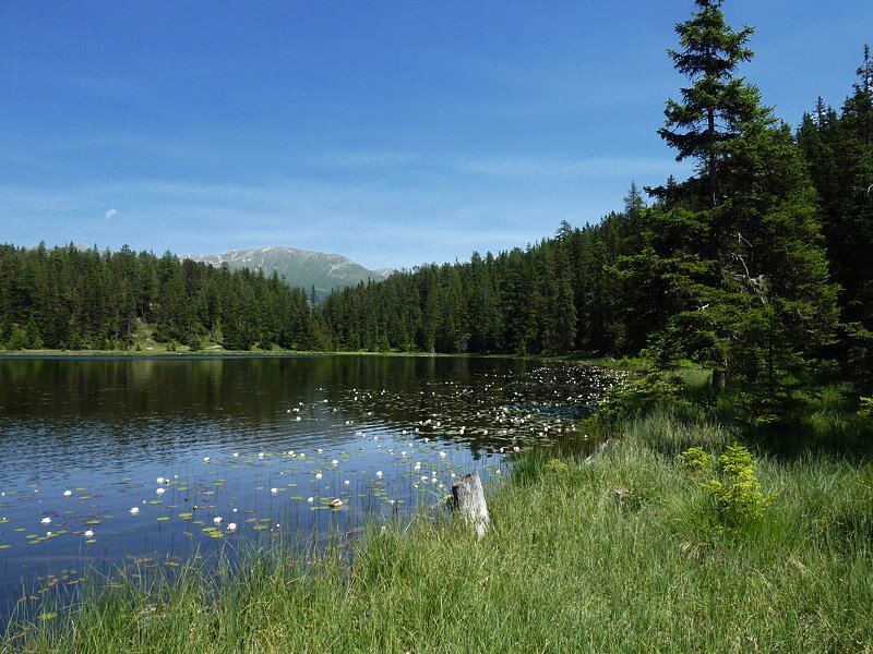
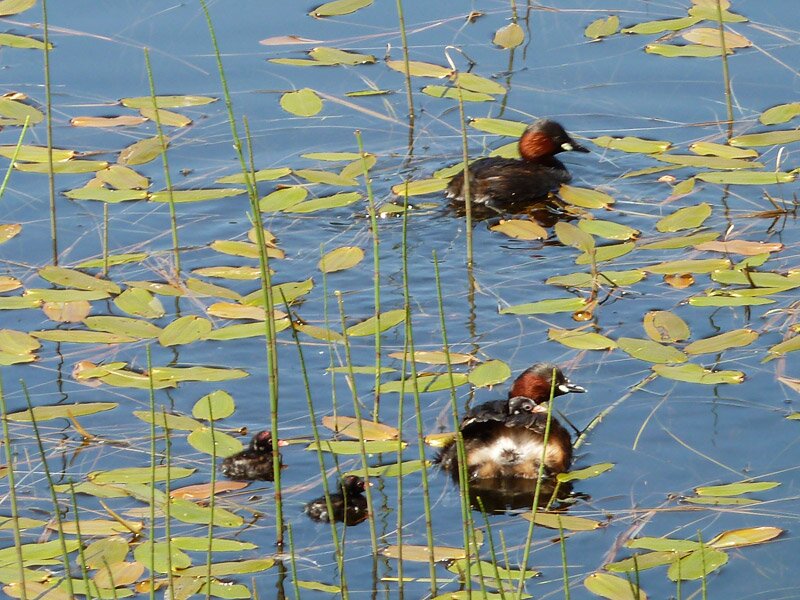
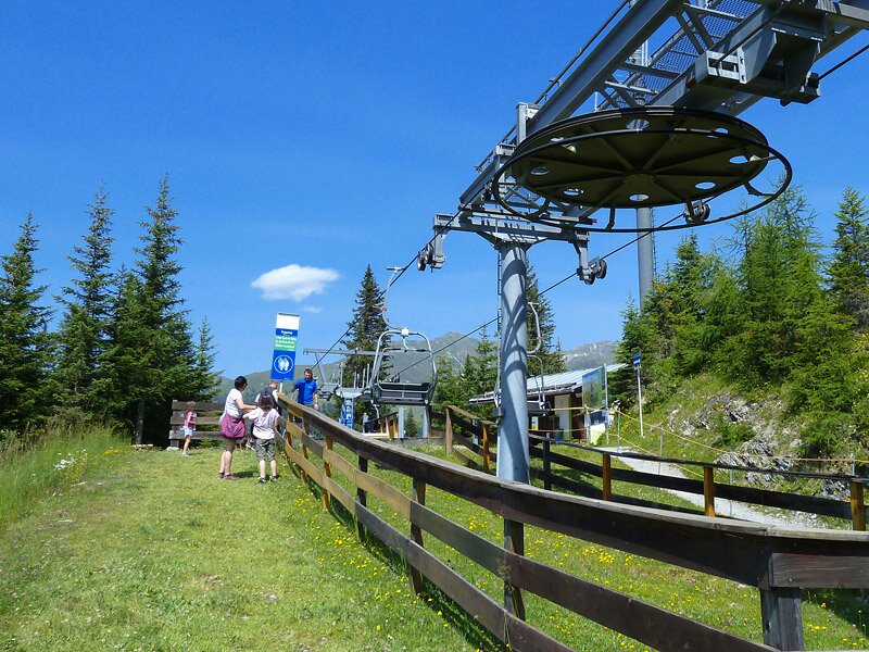
The next stage takes us to the "Schwarzer See" (Black Lake), a charming place with white dab-chicks and the Samnaun Alps reflected on the surface of the lake. Only a short walk is left to the mountain tavern on Mt. Kleiner Mutzkopf, from where we take the chairlift towards Nauders. In Nauders, we take the bus, taking us back across the border to our starting point.
Author: AT
-
- Starting point:
- Resia (centre)
-
- Overall time:
- 04:50 h
-
- Total route length:
- 13,9 km
-
- Altitude:
- from 1.506 m to 2.172 m
-
- Altitude difference (uphill | downhill):
- +837 m | -554 m
-
- Signposts:
- no. 3, 4, "Grüner See", 6, 6a, "Schwarzer See", 9, "Kl. Mutzkopf"
-
- Destination:
- Nauders (Austria)
-
- Resting points:
- Tendershof, Mutzkopf
-
- Recommended time of year:
- Jan Feb Mar Apr May Jun Jul Aug Sep Oct Nov Dec
-
- Download GPX track:
- Hike to the Boundary Stone in the border triangle
If you want to undertake this hike, we recommend checking the weather and trail conditions in advance and on site before starting this hike!