Valley hike in the Sesvenna Group to the crossing into Switzerland: here alpine nature shows its most beautiful side
Image gallery: Hike through the Avinga Valley to the Passo Cruschetta
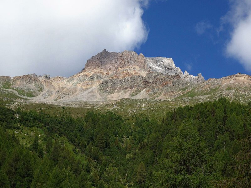
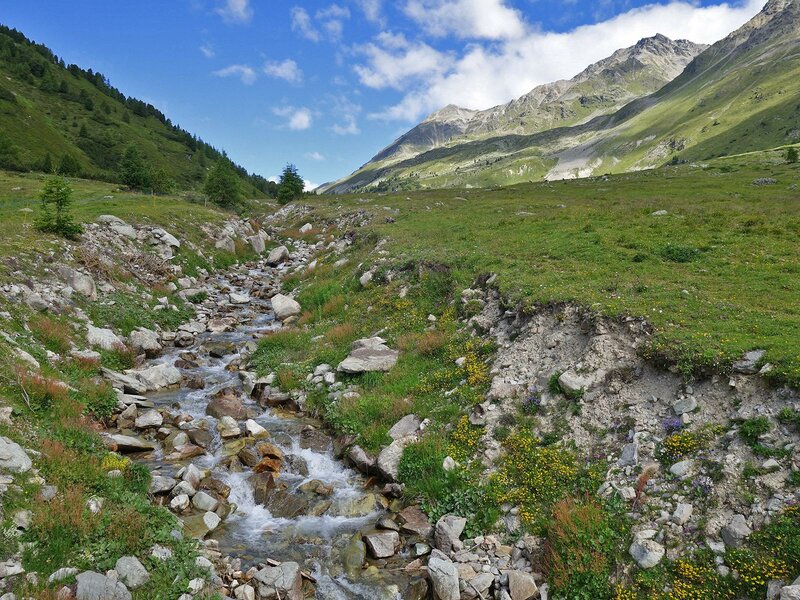
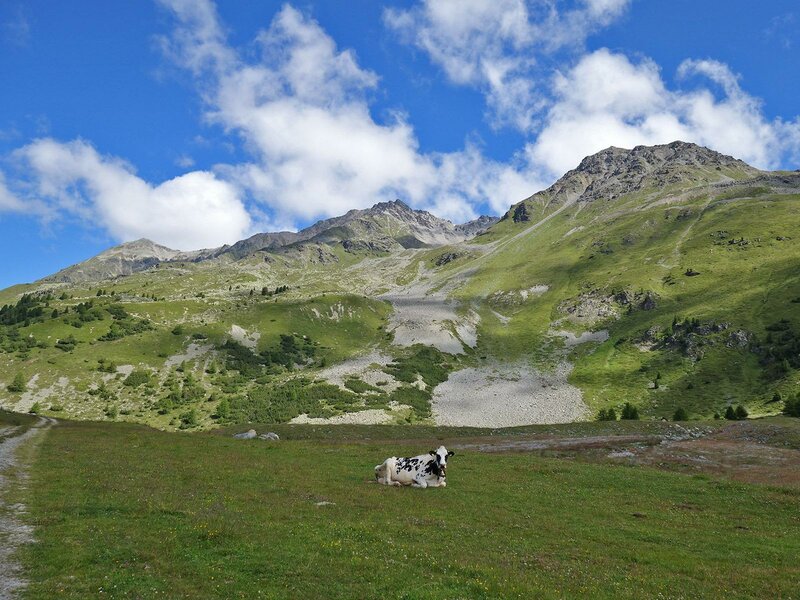
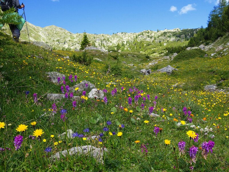

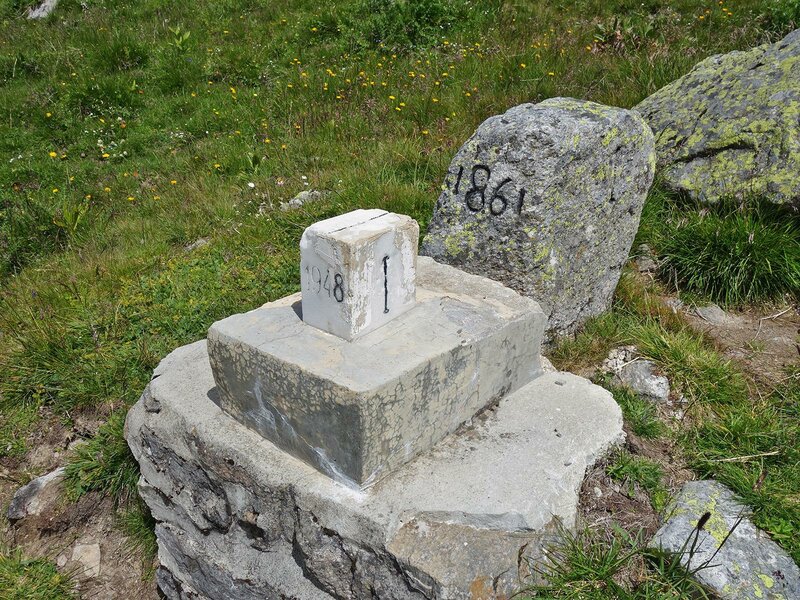
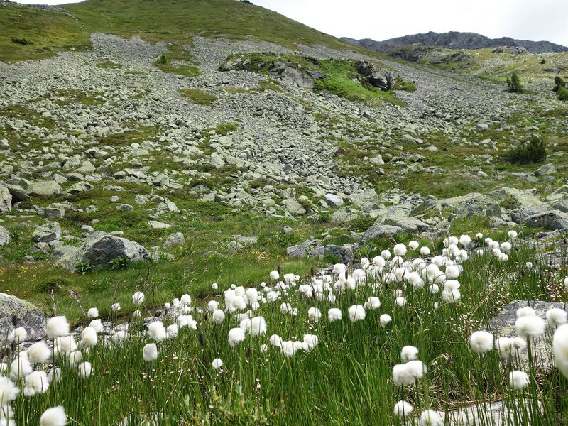
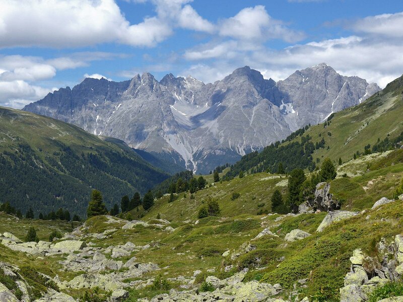
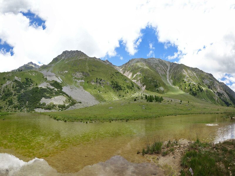
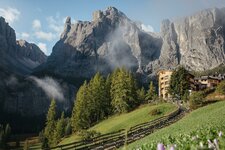
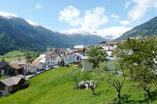
The Avinga Valley is a side valley of the Val Monastero (Münstertal), which runs through the Sesvenna Group starting in Tubre (Taufers). The highest point is the watershed between the Adriatic Sea and the Black Sea and also the border between Italy and Switzerland. A seemingly untouched alpine pasture and natural landscape can be discovered on this hike.
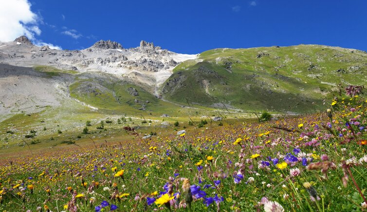
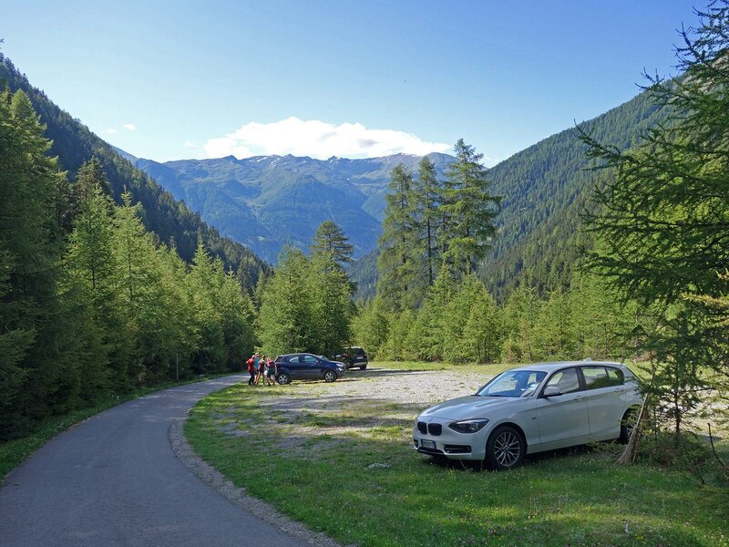
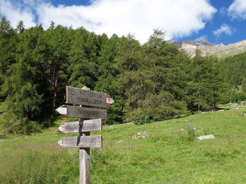
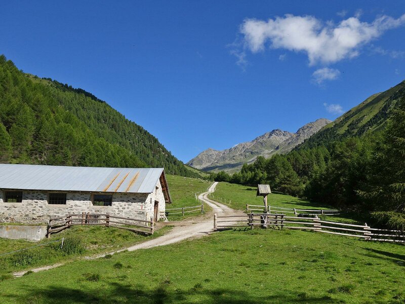
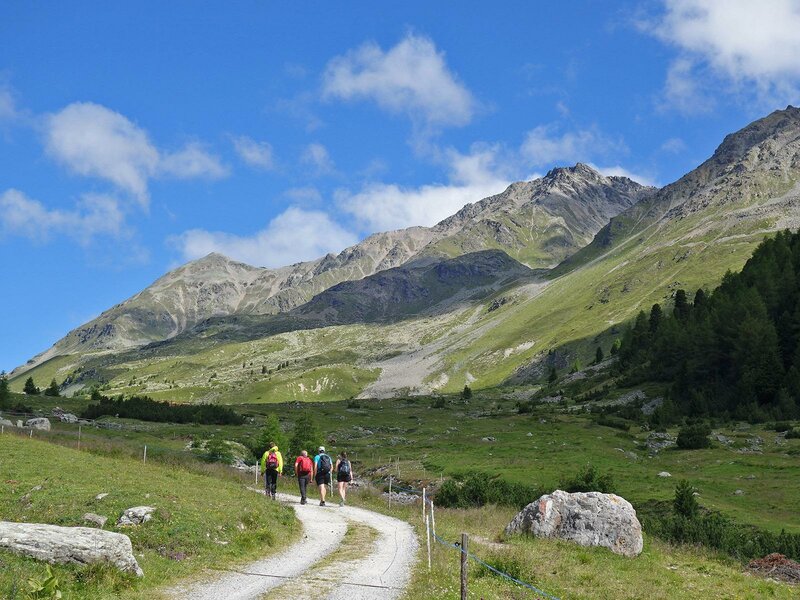
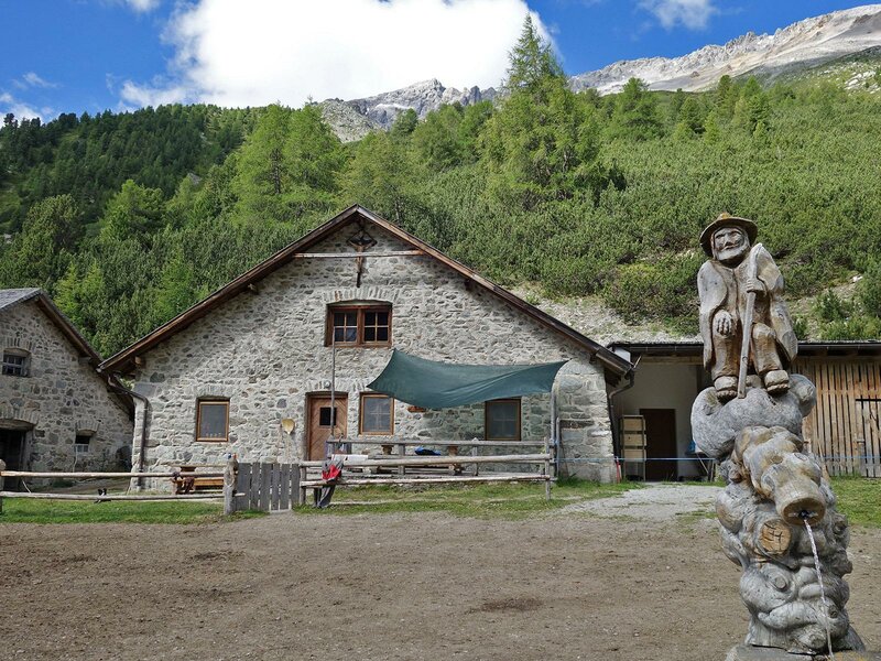
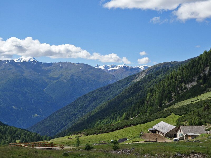
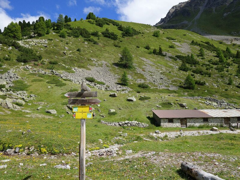
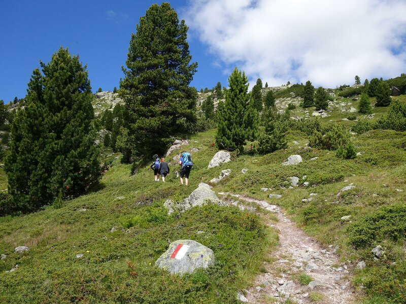
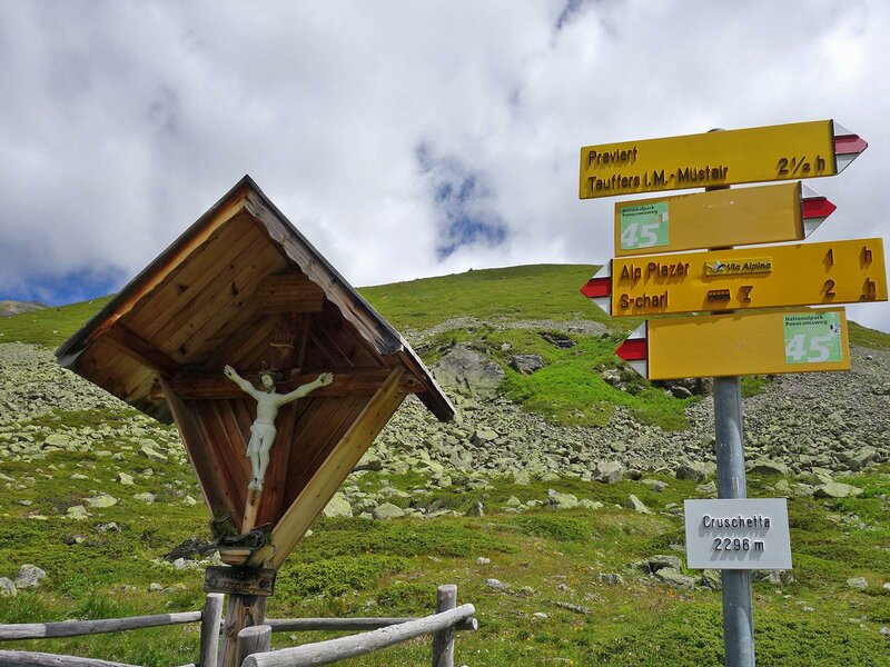
By car, we go from Tubre Val Monastero towards Avinga. The mountain road leads to a car park below the Mangitz Bridge (from there it is forbidden to drive cars). Here we start our hike and follow the valley path (no. 1) towards Passo Cruschetta (Scarl-Joch or also S-charl Joch, in German). Past the Mangits-Alm ("Untere Alm"), we follow the alpine road through green meadows to the Mitteralm and on to the Praviert-Alm. The higher we climb, the more varied and species-rich the natural landscape becomes.
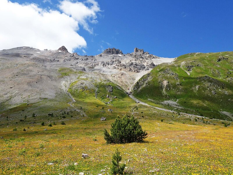
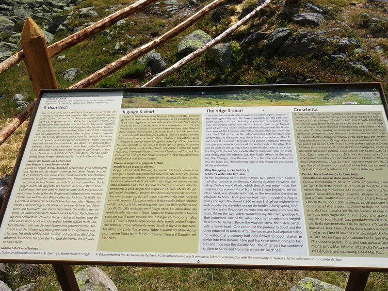
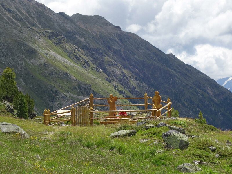
At Praviert, the road ends and a path continues towards the top of the pass. It is situated at 2,296 m a.s.l. and has a special feature: The spring at the pass divides its water - about half flows south-east via the Adige into the Adriatic Sea, while the other half flows north-west via the Inn and Danube into the Black Sea. By the way, there are no refreshment stops on this route, and probably for this reason the area is not overcrowded. We return to the starting point via the same route.
Author: AT
-
- Starting point:
- Tubre in Val Monastero, Avignaweg path (car park below the Mangitz Bridge).
-
- Overall time:
- 03:30 h
-
- Total route length:
- 9,9 km
-
- Altitude:
- from 1.767 m to 2.299 m
-
- Altitude difference:
- +541 m | -541 m
-
- Signposts:
- no. 1 (Scarljoch), no. 45 (Schweizer Nationalpark-Panoramaweg)
-
- Destination:
- Passo Cruschetta (S-carl-Joch)
-
- Recommended time of year:
- Jan Feb Mar Apr May Jun Jul Aug Sep Oct Nov Dec
-
- Download GPX track:
- Hike through the Avinga Valley to the Passo Cruschetta
If you want to do this hike, we suggest you to check the weather and trail conditions in advance and on site before setting out.