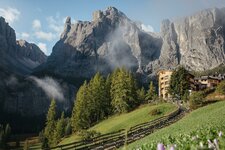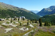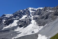
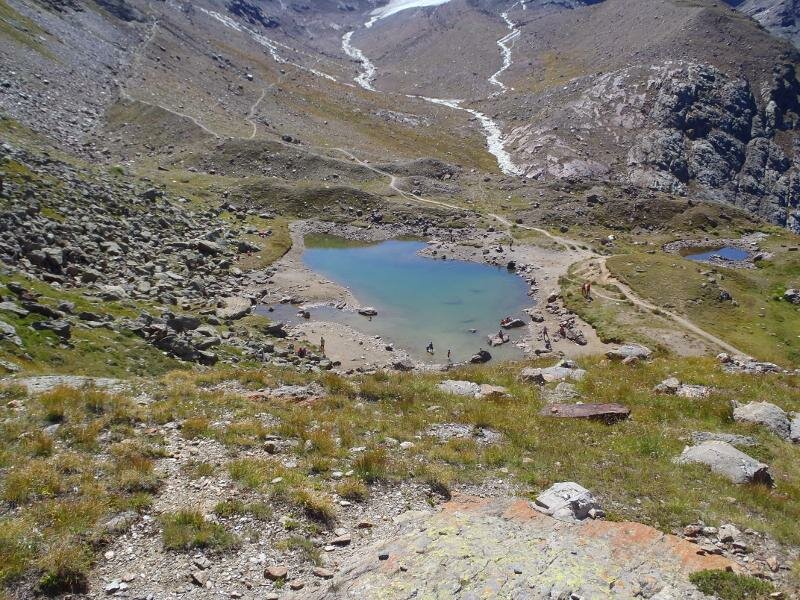
Mountain lakes, moraines and impressive peaks characterise the landscape in the rear Valle di Martello, the destination of our hike
Image gallery: Mountain tour to the Cima Rossa di Martello

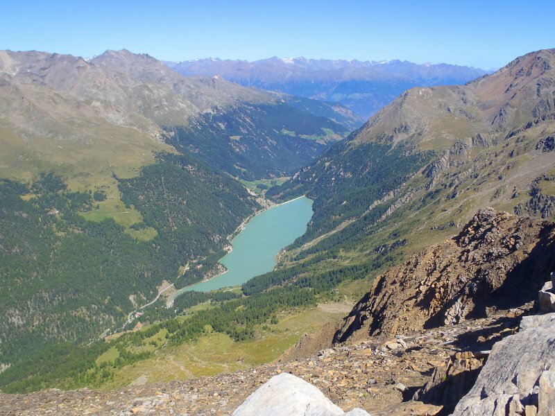
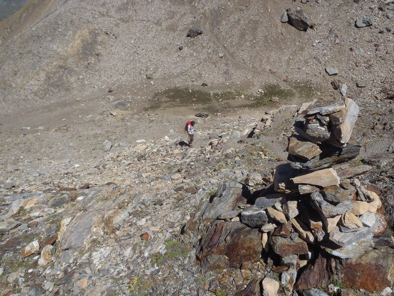
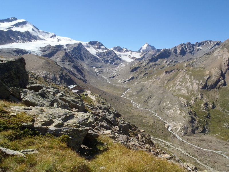
On a sunny day in August we decide to escape from the heat in the valley. We would like to scale a three-thousander and therefore we decide to go to the Val Martello valley, where we are going to climb Mt. Cima Rossa di Martello (Vordere Rotspitze, 3,033 m a.s.l.). By car we drive into the valley, where at its head, close to Lake Gioveretto (zufrittsee), we park the car at the Genziana Mountain Hut (2,055 m a.s.l., subject to charge). From this place we follow the trail no. 37 towards the Martello Mountain Hut (Marteller Hütte), which is moderately steep in the first section. Soon we reach the tree line and walk up grassy slopes, where we see grazing cows. Then we stick to the path no. 31, leading directly to the cross at the summit of Mt. Cima Rossa di Martello.
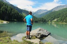
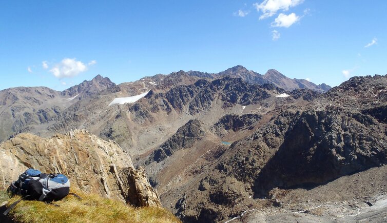
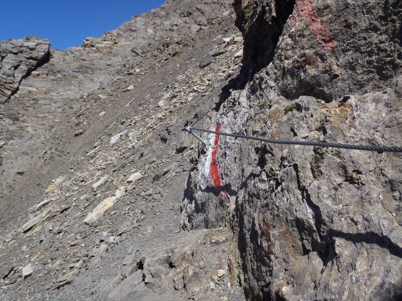
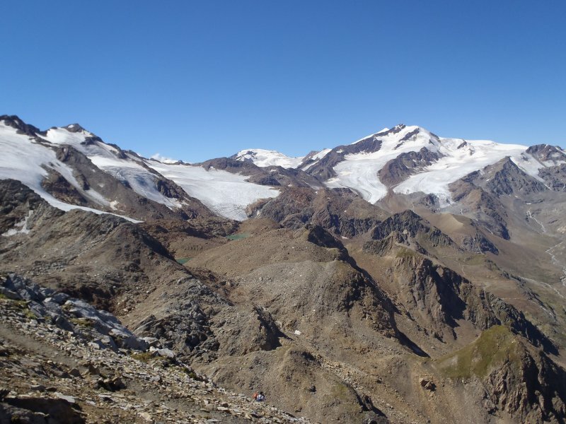
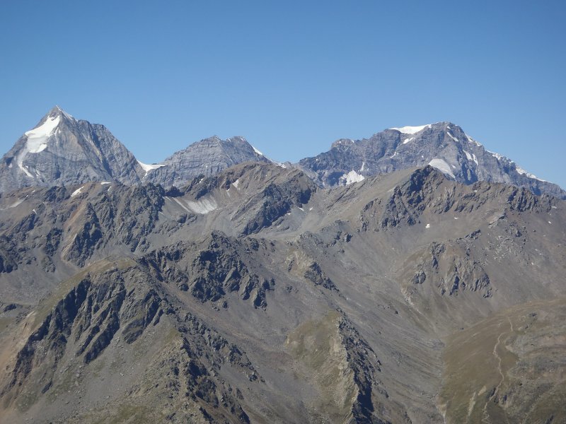
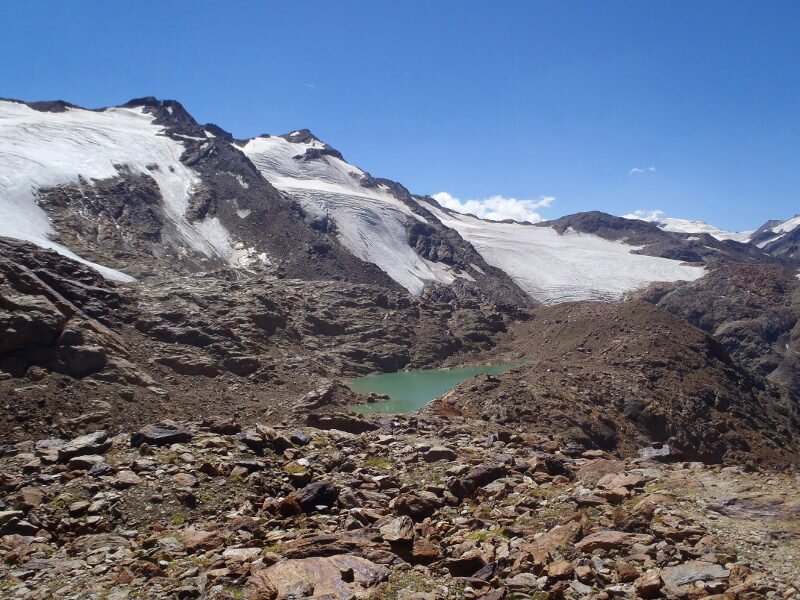
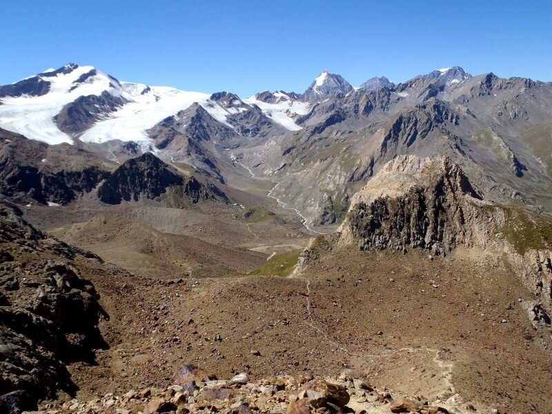
After about 1 hour of walking, the path becomes steeper and in serpentines the path winds up the mountain. Far away we can already see the cross at the summit. The last ascent takes across a steep draw which is secured by ropes. This is where you really need to be sure-footed and some passages are easy climbs. Once the summit is reached, we can enjoy an amazing 360° panorama. Lake Gioveretto stretches at our foot, Mt. Vedretta di Grames, Mt. Punta Martello and the Ortles Alps can perfectly be admires from this peak. After an extended break we start the descent and climb back down the steep draw. We decide to walk back via the Martello Mountain Hut (2,610 m a.s.l.), from where we can also reach our starting point.
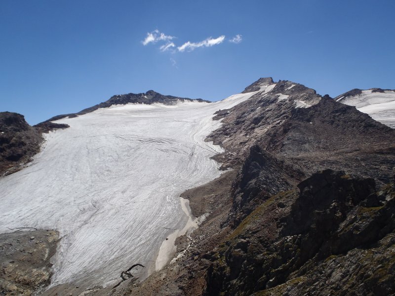
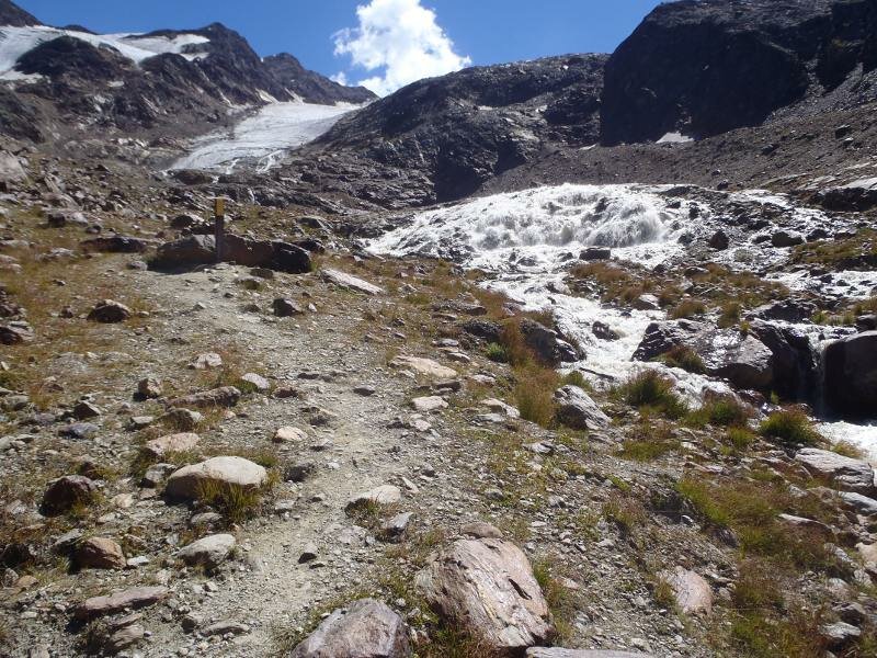
At the first junction, we follow the path no. 37 A to south-west, leading us up and down the glacial landscape. After about 2 hours of walking, we reach the hut, where we stop to have a piece of cake. Afterwards we follow the path no. 103 and 40 and finally reach, exhausted but happy, our starting point, with a series of new impressions in our rucksack. It is a beautiful mountain tour, only advisable to those who are sure-footed and free from vertigo.
Author: ED
-
- Starting point:
- parking space at the Genziana Mountain Hut, head of the Martello Valley
-
- Overall time:
- 05:45 h
-
- Total route length:
- 13,5 km
-
- Altitude:
- from 2.047 m to 3.031 m
-
- Altitude difference:
- +1267 m | -1267 m
-
- Route:
- parking space at the Genziana Mountain Hut - Cima Rossa di Martello - Rif. Martello - parking space at the Genziana Mountain Hut
-
- Signposts:
- 37, 31, 37A, 103, 40, 37
-
- Destination:
- Cima Rossa di Martello
-
- Resting points:
- Rif. Martello
-
- Recommended time of year:
- Jan Feb Mar Apr May Jun Jul Aug Sep Oct Nov Dec
-
- Download GPX track:
- Mountain tour to the Cima Rossa di Martello
If you want to do this hike, we suggest you to check the weather and trail conditions in advance and on site before setting out.