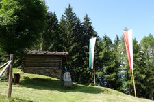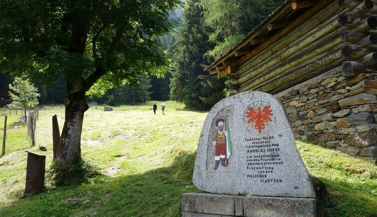
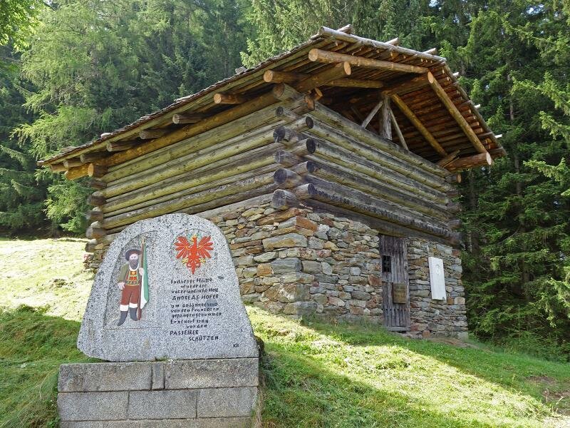
The Pfandler Hut is closely connected to the fate of Andreas Hofer: A path leads up to the present-day mountain inn
Image gallery: Hike to the Malga Pfandler hut

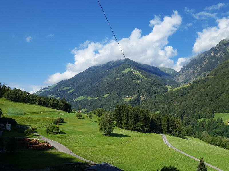
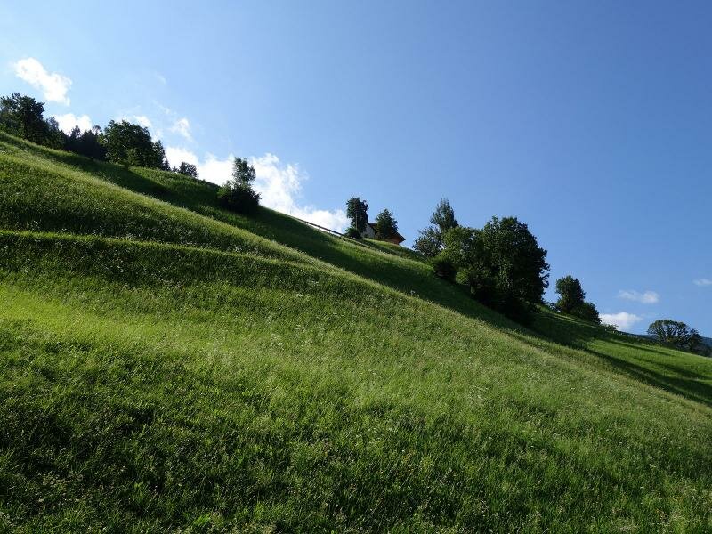
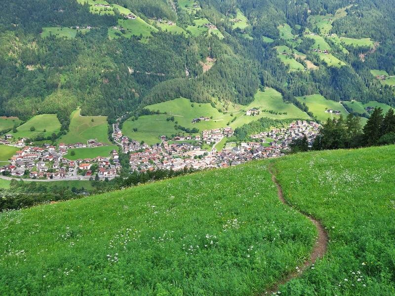

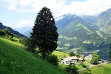
Almost 800 metres of elevation gain and four kilometres separate the Val Passiria valley floor from the Pfandler Alp above the hamlet of Prantago. Starting from the road in San Martino, we follow the Via Prantago road across the Passirio River and walk past the Golf Lodge Andreus.
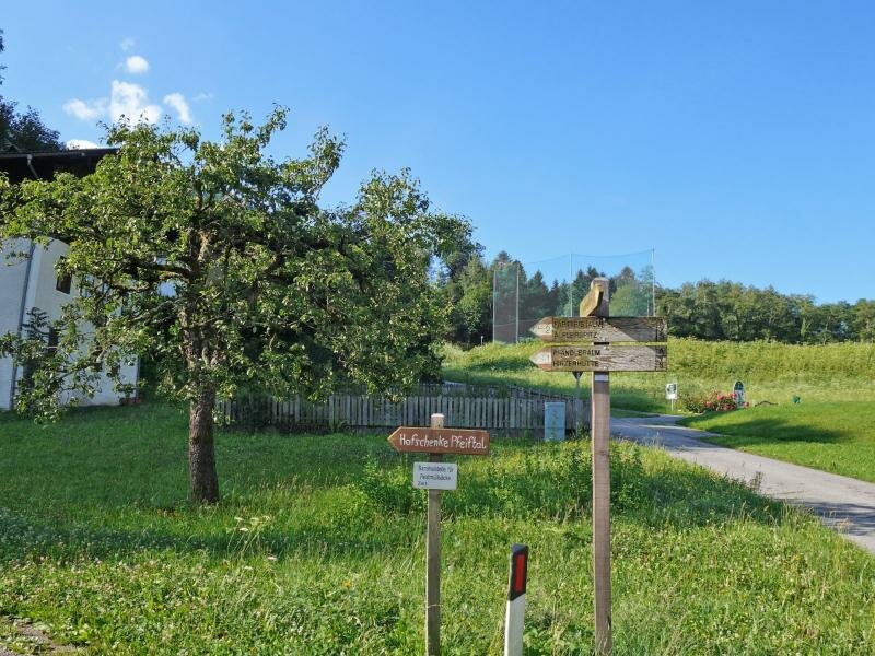
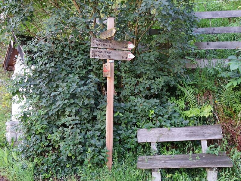
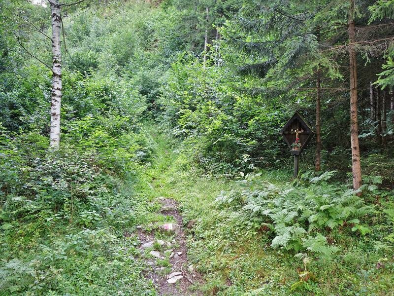
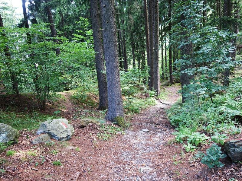
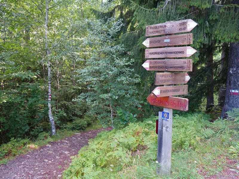
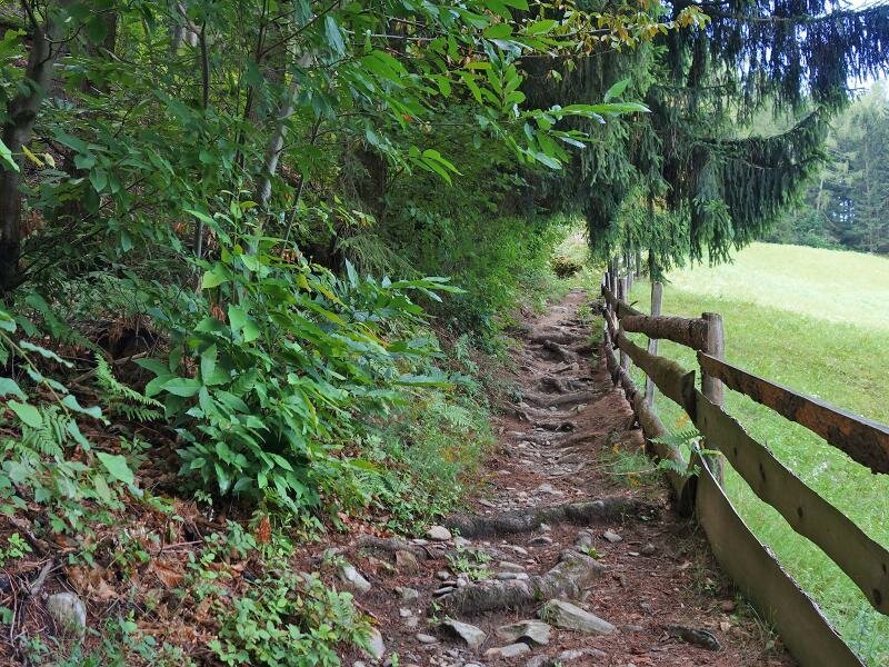
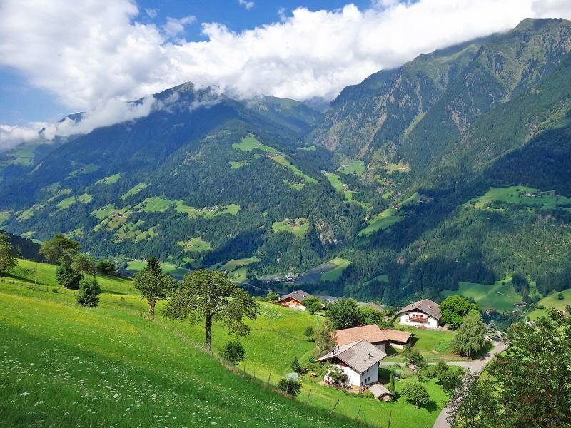
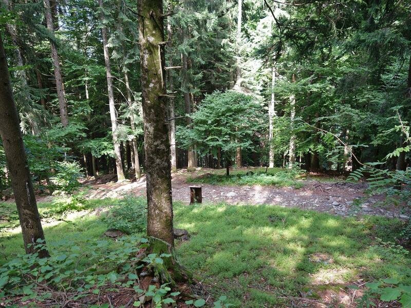
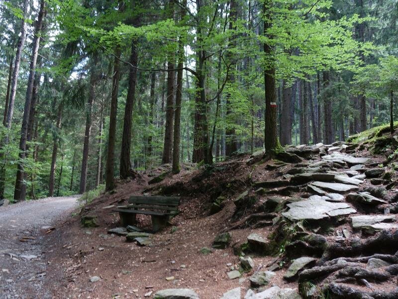
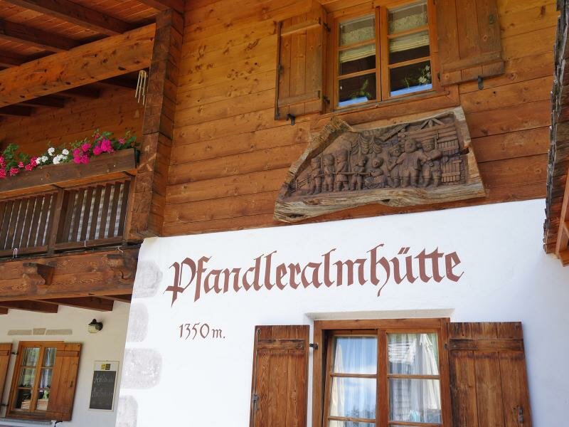
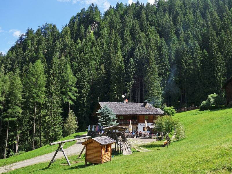
200 metres after the first hairpin bend, at the start of the mountain slope, the path marked No. 2 / E5 branches off to the right. It leads through the meadows and woods of Prantago, crosses the paved road several times and then winds its way up to the Gruberhof farm on paths No. 1 and E5. Past the Pfandlerhof mountain inn, a final, slightly steeper section of the trail leads through the forest, bringing us to the meadow of the Pfandler Hut at an altitude of 1,350 metres.
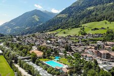
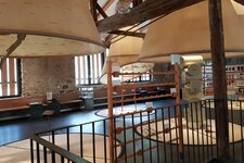
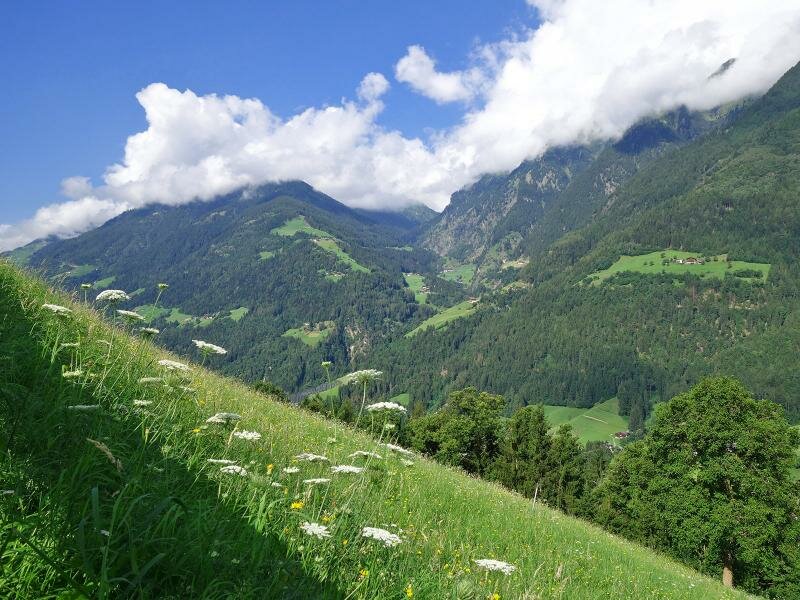
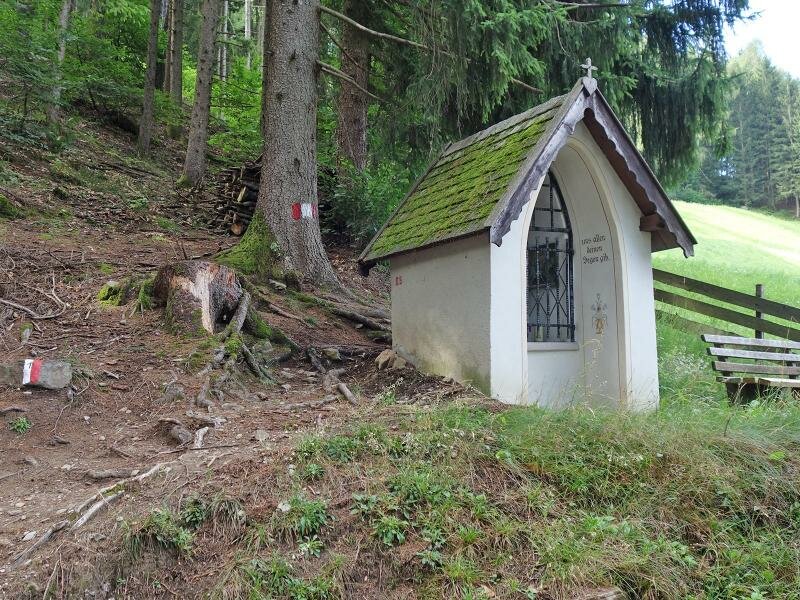
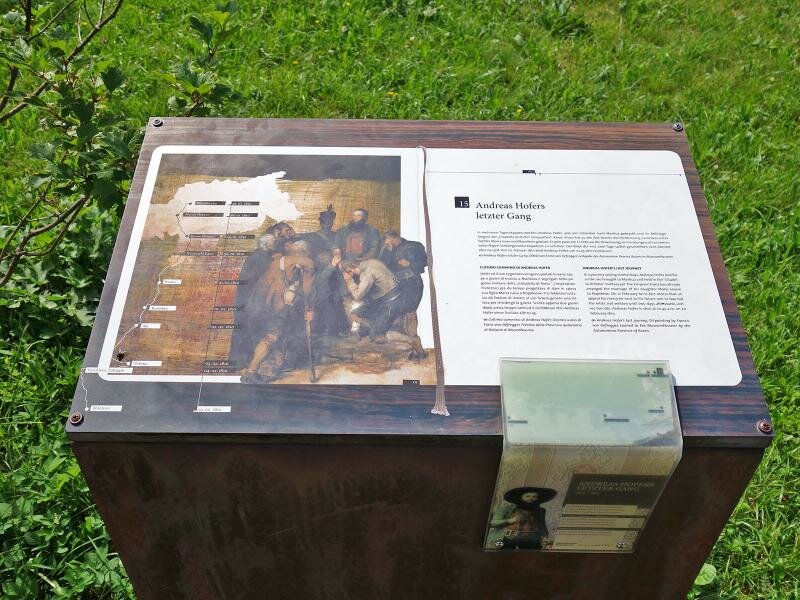
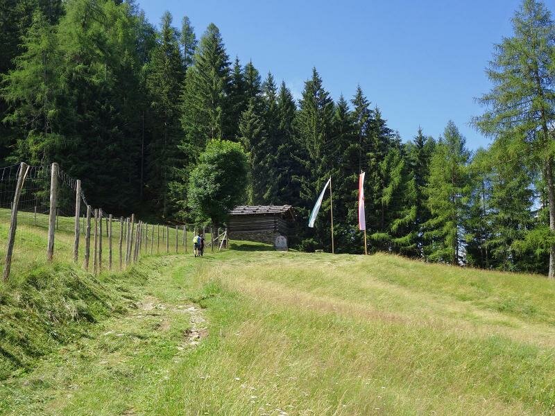
On the upper section of the path, information boards recount the last days of Andreas Hofer: Right above the alpine pasture is the hut, preserved to this day, where the Tyrolean freedom fighter was captured by the French in January 1810. In the valley below, the MuseumPasseier provides complementary historical context. After 2.5 hours of walking, it is time for a lunch break.
The lower hut is managed. The return journey then follows the same route. If you prefer an easier version of the hike, you can take a car or hiking bus to the car park above the Pfandlerhof and just walk the final kilometre. It takes you along the forest track through the woods.
The tour is reduced from a total of nearly four hours and 750 metres of elevation gain to a family-friendly, 40-minute excursion (200 metres of elevation gain).
Author: AT
Experienced: July 2017
Last updated: 2026
-
- Starting point:
- San Martino in Passiria (579 m a.s.l.)
-
- Overall time:
- 03:40 h
-
- Total route length:
- 8,1 km
-
- Altitude:
- from 579 m to 1.357 m
-
- Altitude difference (uphill | downhill):
- +787 m | -787 m
-
- Signposts:
- no. 2, 1, E5
-
- Destination:
- Pfandler Mountain Hut (1,357 m a.s.l.)
-
- Resting points:
- Pfandlerhof mountain inn, Pfandler Mountain Hut (April to October/November)
-
- Recommended time of year:
- Jan Feb Mar Apr May Jun Jul Aug Sep Oct Nov Dec
-
- Download GPX track:
- Hike to the Malga Pfandler hut
-
- More information:
- The total time indicated above refers to the walking time only, excluding breaks. Due to steep, partly rocky and in humid conditions slippery spots, the actually unproblematic path is classified as medium. Surefootedness and sturdy shoes are necessary.
If you want to undertake this hike, we recommend checking the weather and trail conditions in advance and on site before starting this hike!