Overlooking the marble quarry where “white gold” is mined, into the inner Valle di Lasa and to the Lasa di Sopra Hut
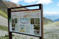
Image gallery: Hike to the Lasa alpine pastures
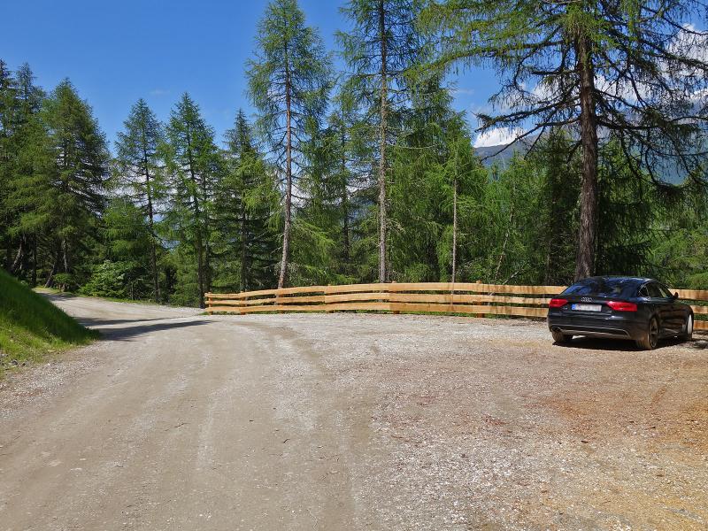
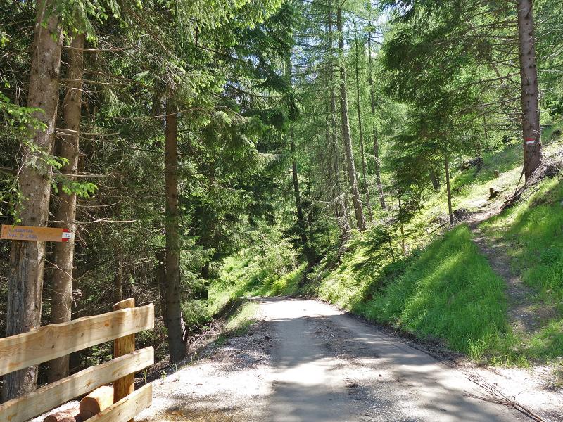
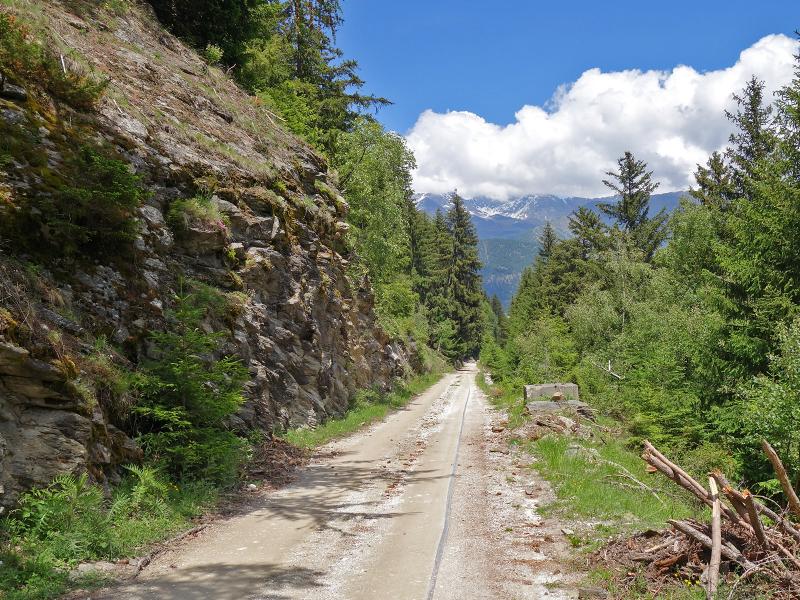
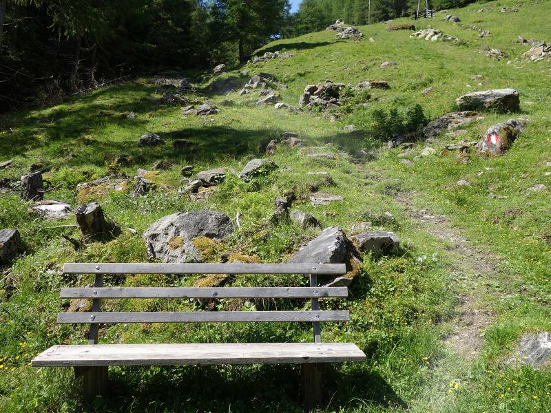
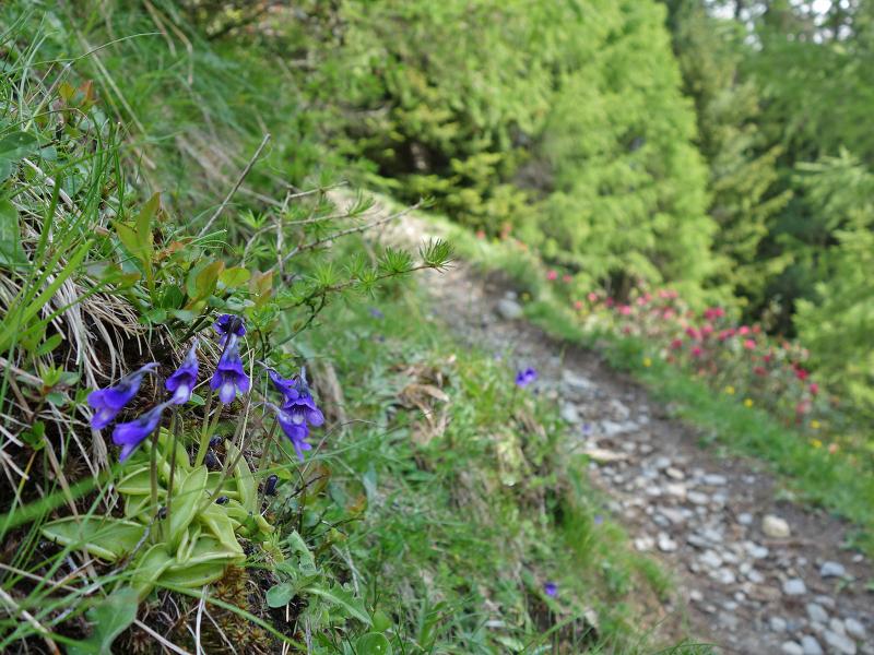
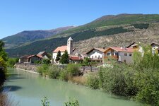
To reach the starting point of this June hike, we drive from the village of Lasa to the hamlet of Parnetz. From there, we follow the forest road surfaced with marble gravel to the car park by the old marble railway. Here, we begin our walk along the cart track heading into the valley.
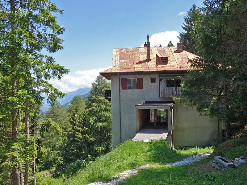
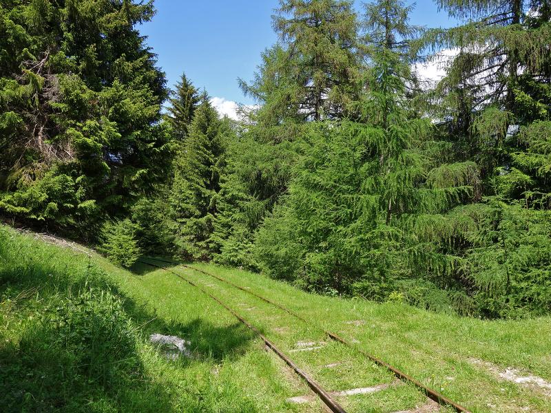
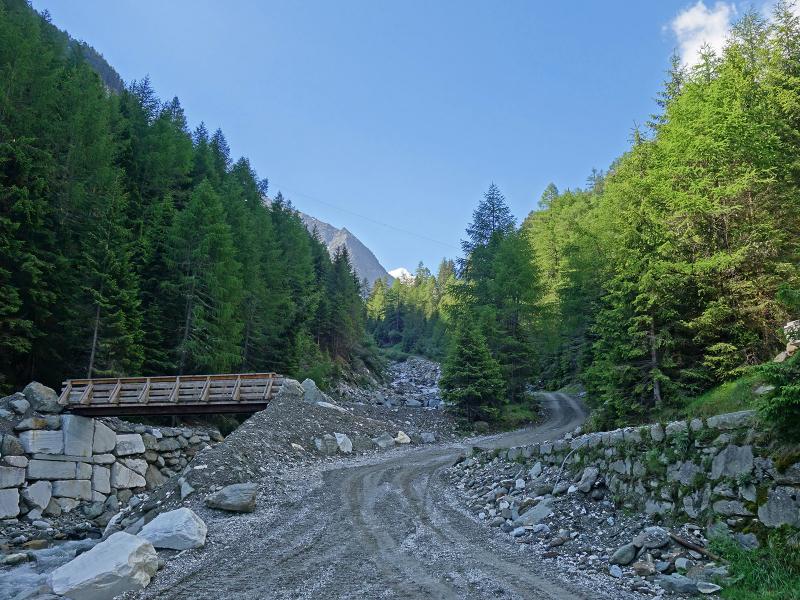
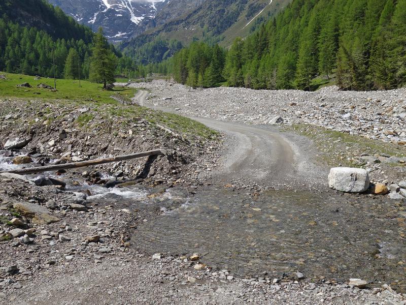
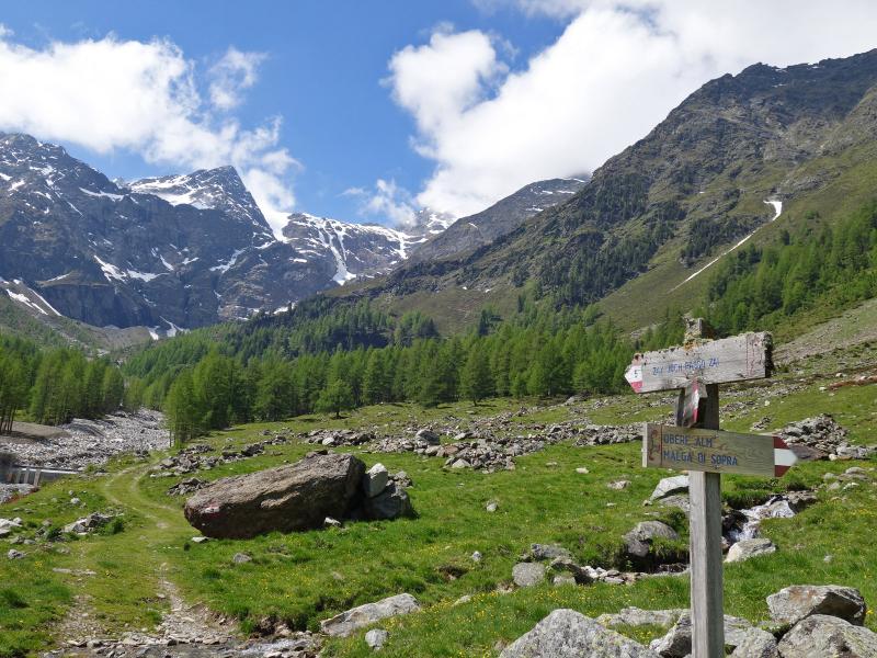
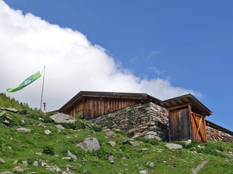
The track soon follows the disused rails. This road, which is also used to transport the quarried marble blocks, leads down into the valley floor near the so-called Aufleg, a crossroads at the foot of a marble debris cone. From here, a forest road winds uphill for three kilometres to the Malga Lasa di Sotto, literally the Lower Lasa Hut, at 1,850 metres above sea level, which is unmanaged.
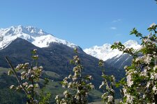
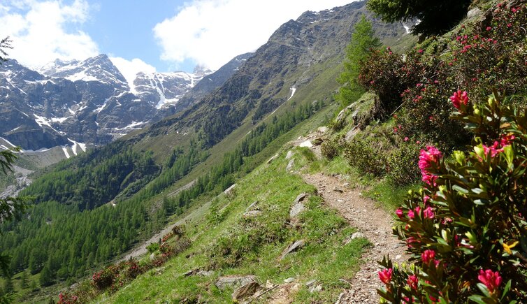
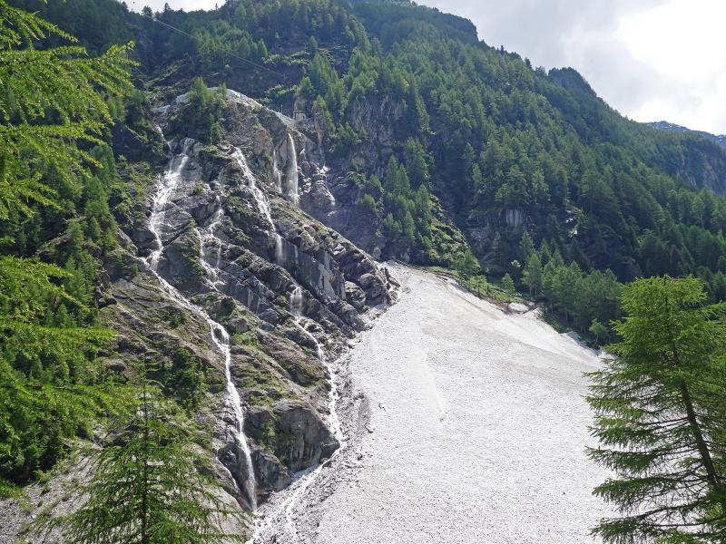
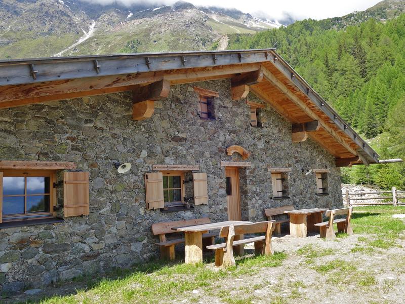
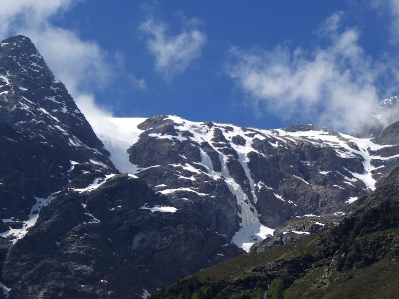
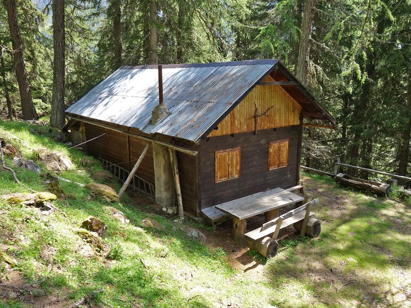
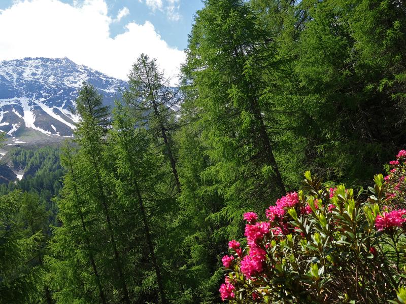
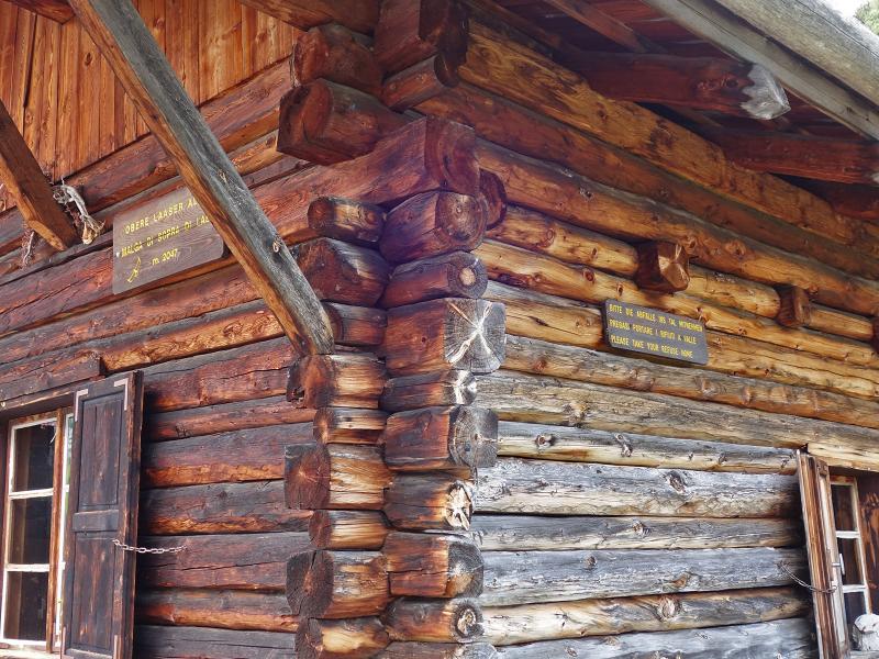
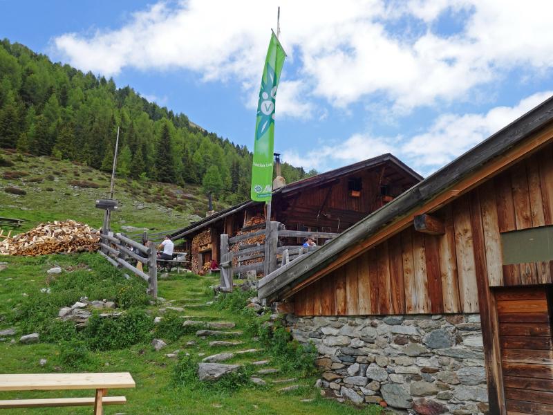
We admire the Vedretta di Lasa, the impressive glacial ice wall below the Punta Peder in the Lasa Mountains, which can be seen from here. Just above the mountain hut, the cart track ends and the trail up to the Malga Lasa di Sopra, the Upper Lasa Hut or Obere Laaser Alm, begins. At this refuge run by the Alpine Club we enjoy our lunch at around 2,050 metres above sea level.
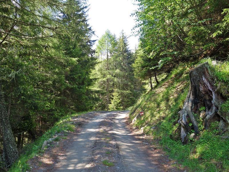
We return to the starting point along the same route - alternatively, the shorter trail no. 14 leads slightly higher up through the forest. By the way, the Lasa marble, known as "white gold", is world-famous. Along our chosen route, we had a good view of several stages of the marble quarrying, with the first section of the path also being used by lorries transporting the marble.
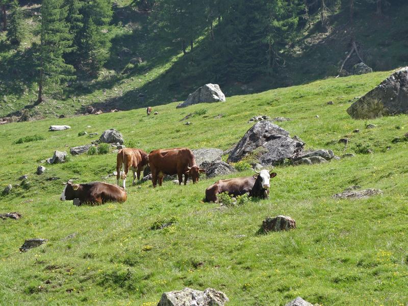
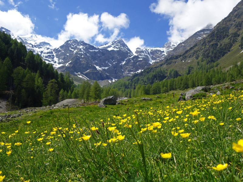
Overall, the Lasa alpine pastures on the edge of the Stelvio National Park are peacefully situated and shaped solely by the natural landscape and alpine farming.
Author: AT
Experienced: June 2020
Last updated: 2026
-
- Starting point:
- parking space at the top station of the marble railway (1,358 m a.s.l.)
-
- Overall time:
- 04:30 h
-
- Total route length:
- 12,9 km
-
- Altitude:
- from 1.358 m to 2.047 m
-
- Altitude difference (uphill | downhill):
- +707 m | -707 m
-
- Signposts:
- "Laaser Tal", "Obere Laaser Alm", no. 5
-
- Destination:
- Lasa di Sopra Mountain Hut (2,047 m a.s.l.)
-
- Resting points:
- Lasa di Sopra Mountain Hut (June to September/October)
-
- Recommended time of year:
- Jan Feb Mar Apr May Jun Jul Aug Sep Oct Nov Dec
-
- Download GPX track:
- Hike to the Lasa alpine pastures
-
- More information:
- The overall time shown above refers to the walking time only, not including breaks or stops.
If you want to undertake this hike, we recommend checking the weather and trail conditions in advance and on site before starting this hike!