With view on the marble quarry we hike into the inner Lasa Valley to the Upper Lasa Mountain Hut
Image gallery: Hike to the Lasa alpine pastures
-
-
Video : Sunrise over the Stelvio Pass
-
D-1A-8948-parkplatz-bei-bergstation-schraegbahn-marmorbahn.jpg
-
D-1B-8949-bergstation-schraegbahn-laaser-marmor.jpg
-
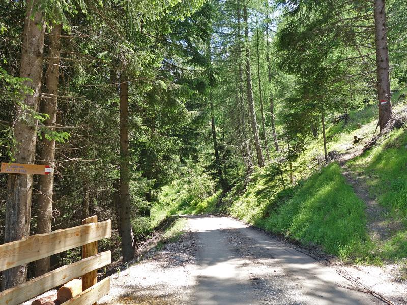
D-1C-8947-abzweigung-wanderpfad-laaser-tal.jpg
-
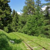
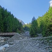
D-1D-8944-schienen-ehemaliger-bahnstrecke-laaser-marmorbahn.jpg
-
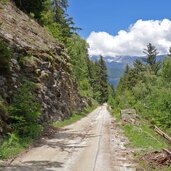
D-1E-8939-weg-auf-ehemaliger-bahnstrecke-laaser-marmorbahn.jpg
-
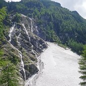
D-1F-8934-aufleg-am-laaser-marmor-bruch-im-laaser-tal.jpg
-
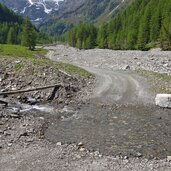
D-8700-laaser-tal-bei-marmor-aufleg.jpg
-
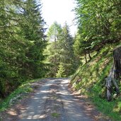
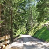
D-8744-forstweg-laaser-tal.jpg
-
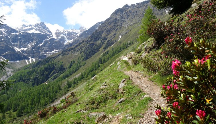
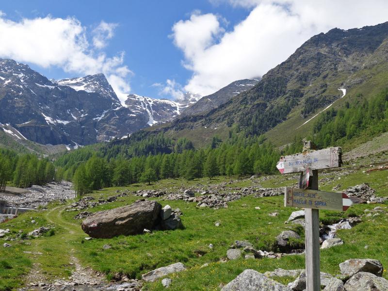
D-8726-wanderweg-laaser-tal-zu-den-almen.jpg
-
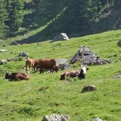
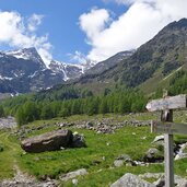
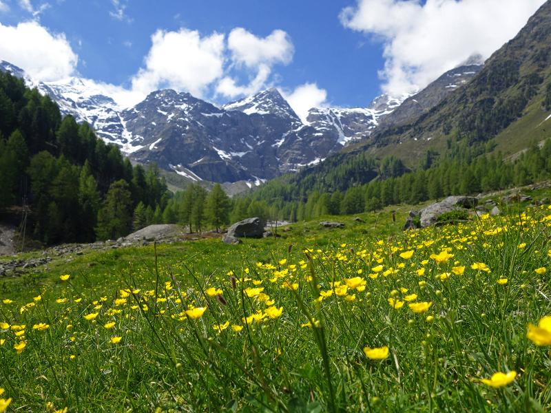
D-8768-laaser-tal-almwiesen-bei-untere-alm.jpg
-
D-8774-zufluss-zum-laaser-bach.jpg
-
D-8785-laaser-tal-untere-laaser-alm-fr1.jpg
-
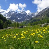
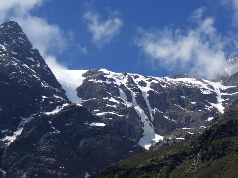
D-8799-laaser-tal-almwiesen-dahinter-laaser-ferner.jpg
-
D-8809-laaser-tal-richtung-zay-joch-und-laaser-ferner.jpg
-
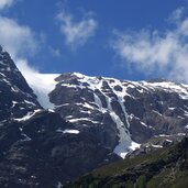
D-8815-blick-richtung-laaser-ferner-gletscherzungen.jpg
-
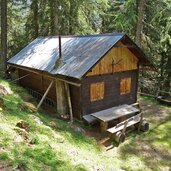
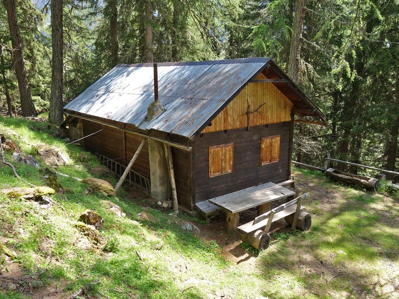
D-8837-jagdhuette-am-weg-von-der-unteren-zur-oberen-laaser-alm.jpg
-
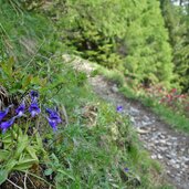
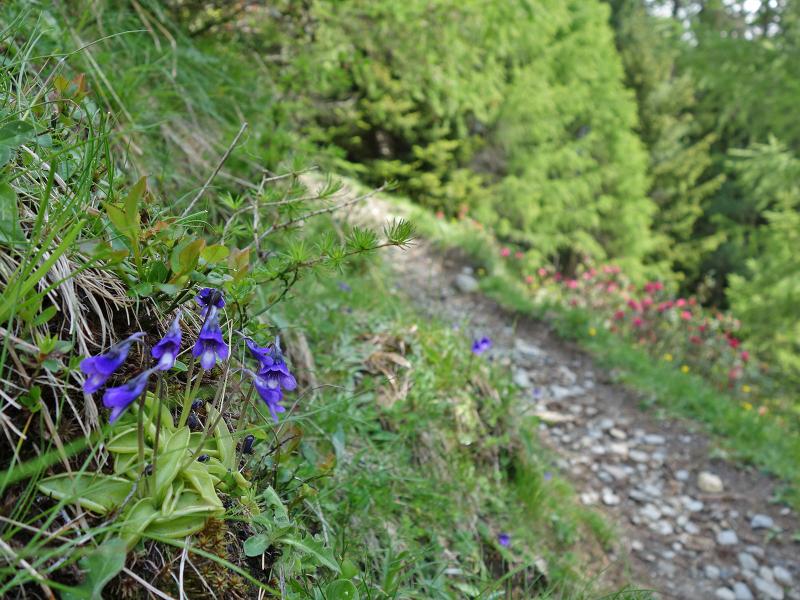
D-8853-alpenfettkraut.jpg
-
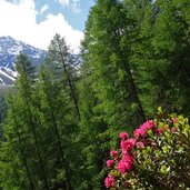
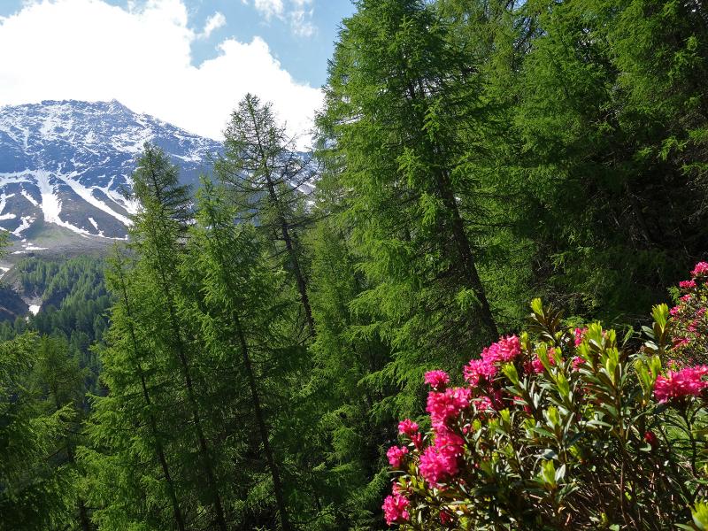
D-8845-alpenrosen.jpg
-
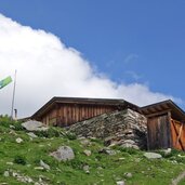
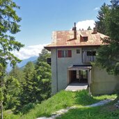
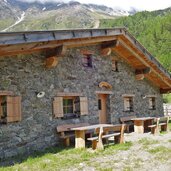
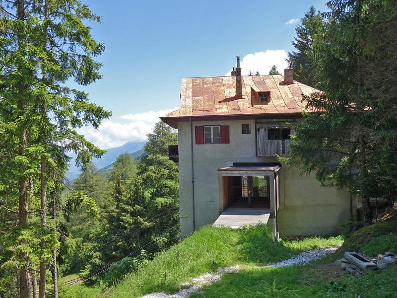
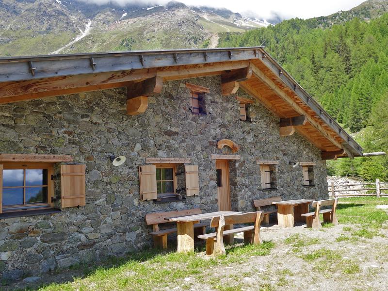
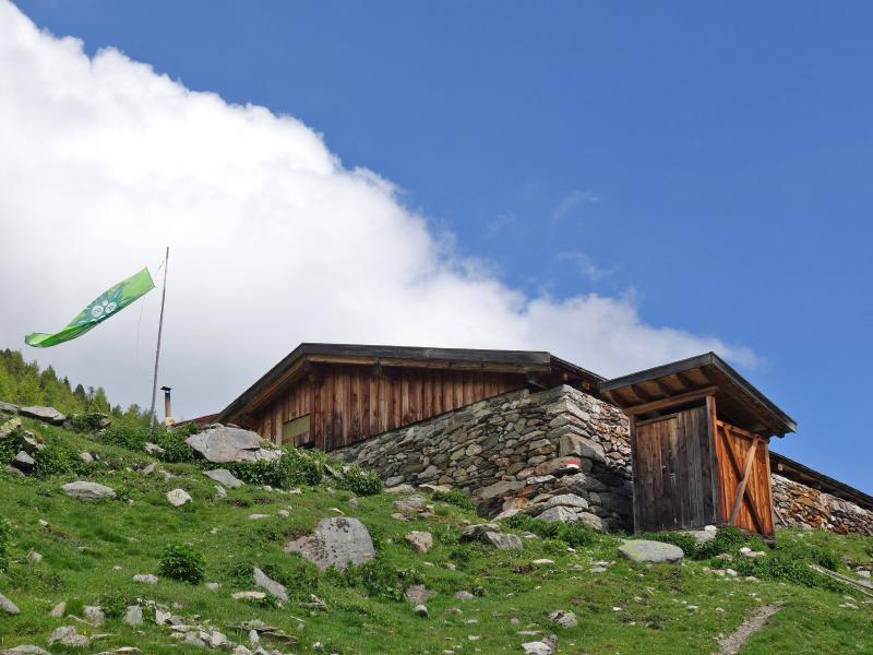
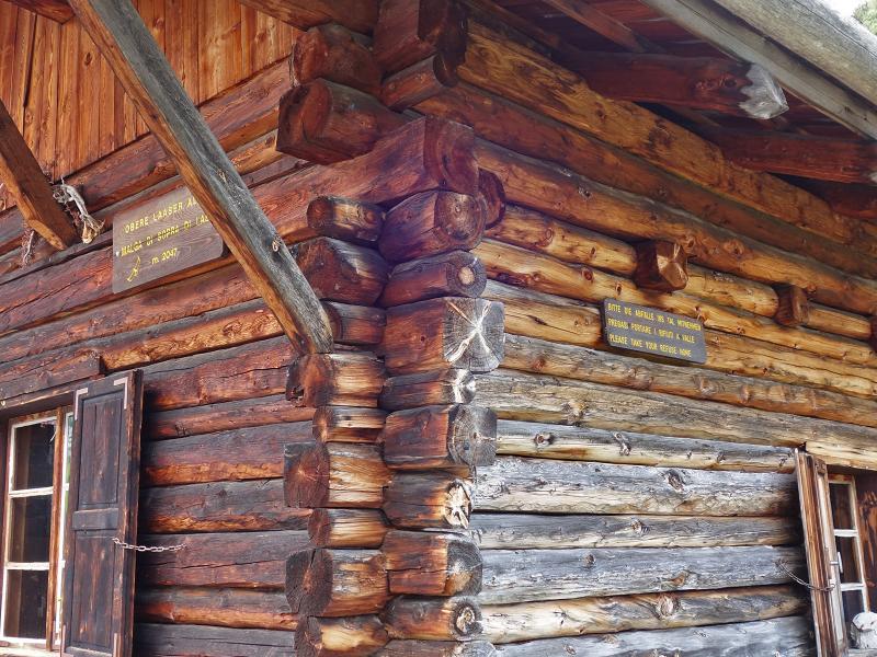
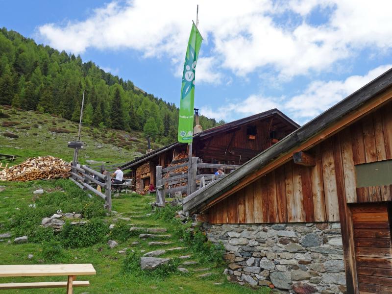
D-8883-laaser-tal-obere-laaser-alm-avs-schutzhaus.jpg
-
D-8887-laaser-tal-obere-laaser-alm-avs-schutzhaus.jpg
-
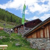
D-8904-laaser-tal-obere-laaser-alm-avs-schutzhaus.jpg
-
video : Marble & chocolate in Lasa

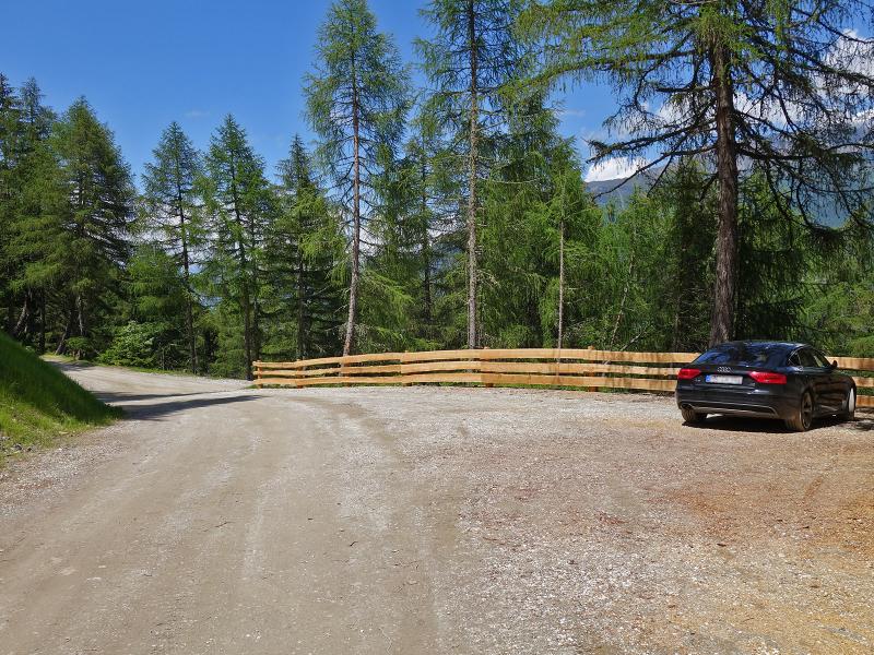
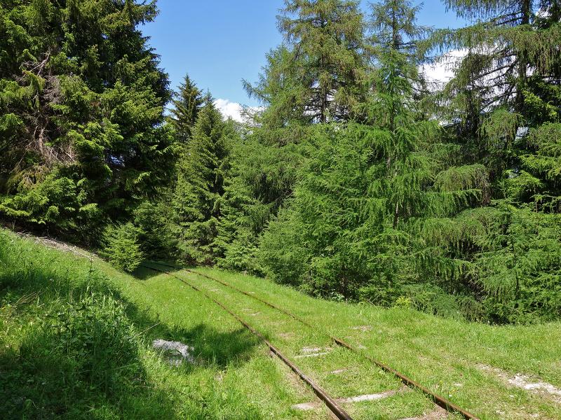
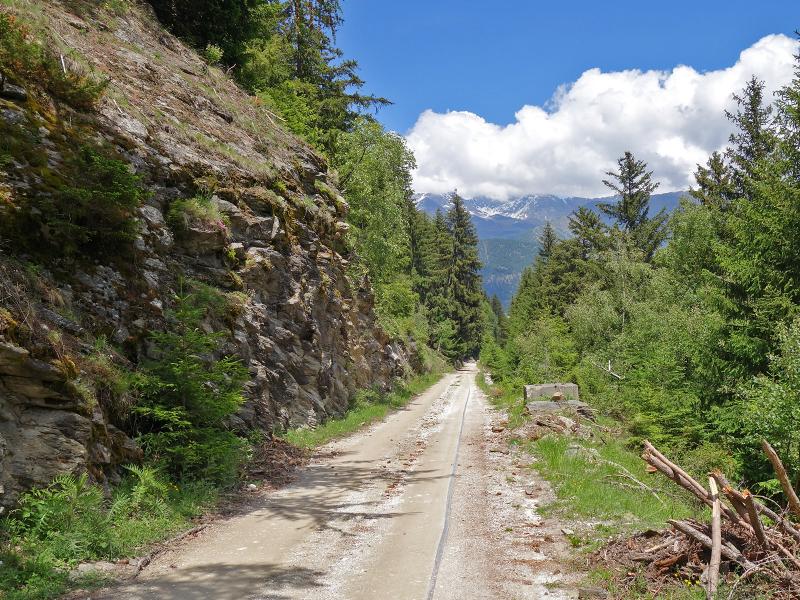
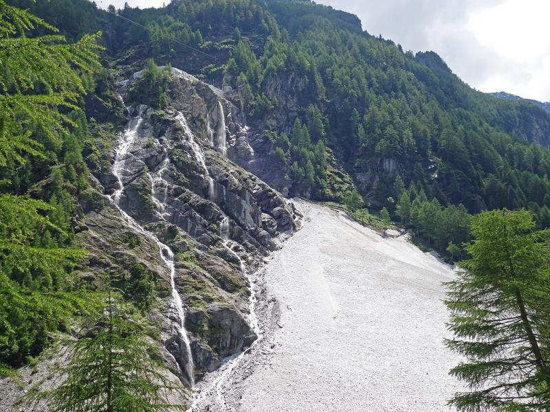
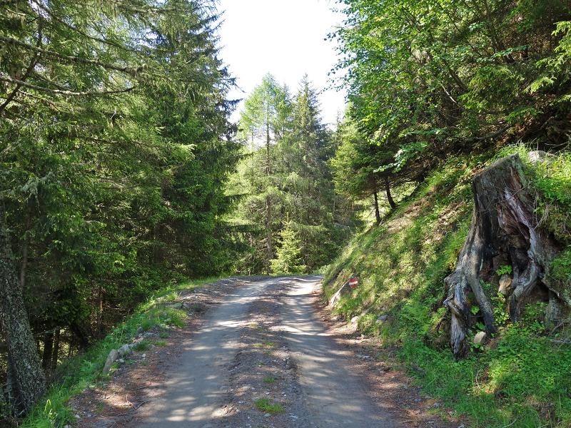
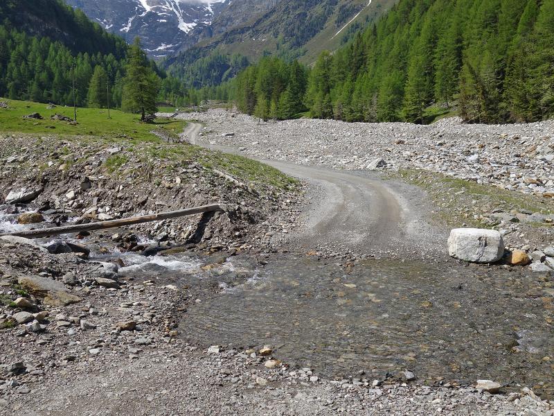

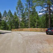
To reach the starting point of this hike, we drive by car from Lasa (Laas) to the mountain hamlet of Parnetz and from there along the forest road covered with marble gravel to the car park near the old marble railway. Here we start and follow the road into the valley, which soon follows the decommissioned rails. This mountain road, which is also used to transport the quarried marble blocks, leads down to the valley floor at the so-called Aufleg, at the foot of a marble scree.
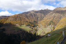
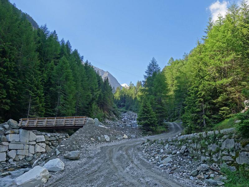
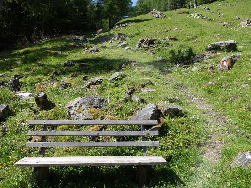
From this junction, the trail now continues uphill through the valley on the forest road, which after about 3 km takes us to the Lower Lasa Mountain Hut (Untere Laaser Alm). Here, at about 1,850 m a.s.l., we have a good view on Mt. Vedretta di Lasa, the glacier ice wall below the Punta Peder peak. The road ends just above the alpine hut and at a wooden hut on the edge of the forest the path starts up to the Upper Lasa Mountain Hut (Obere Laaser Alm). There, at around 2,050 m a.s.l., the mountain hut, which is run as a shelter by the Alpine Club AVS, awaits us and we enjoy lunch there.
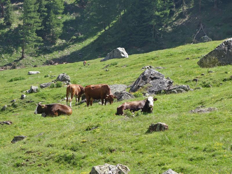
To return to our starting point, we take the same route. Alternatively, you can take the little shorter trail no. 14, which leads through the forest at a slightly higher altitude. On the path we chose we had a good view on some of the marble quarries. The first part of the path is also used for the transport of marble and occasionally trucks are used. All in all, the area on the edge of the Stelvio National Park is quietly situated and is characterised only by natural landscape and agriculture.
Author: AT
-
- Starting point:
- parking at the top station of the sloped railway
-
- Time required:
- 04:30 h
-
- Track length:
- 12,9 km
-
- Altitude:
- from 1.358 m to 2.017 m
-
- Altitude difference:
- +707 m | -707 m
-
- Signposts:
- Lasa Valley, "Obere Laaser Alm", no. 5
-
- Destination:
- Obere Laaser Alm
-
- Resting points:
- Obere Laaser Alm
-
- Recommended time of year:
- Jan Feb Mar Apr May Jun Jul Aug Sep Oct Nov Dec
-
- Download GPX track:
- Hike to the Lasa alpine pastures
If you want to do this hike, we suggest you to check the weather and trail conditions in advance and on site before setting out.