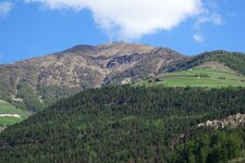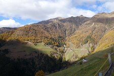
The Valle di Silandro valley reaches from Silandro to Mt. Punta Rems in the Oetztal Alps: At the entrance it is a deep, narrow gorge, further up it becomes a gentle high valley
Image gallery: Hike to the alps in the Valle di Silandro
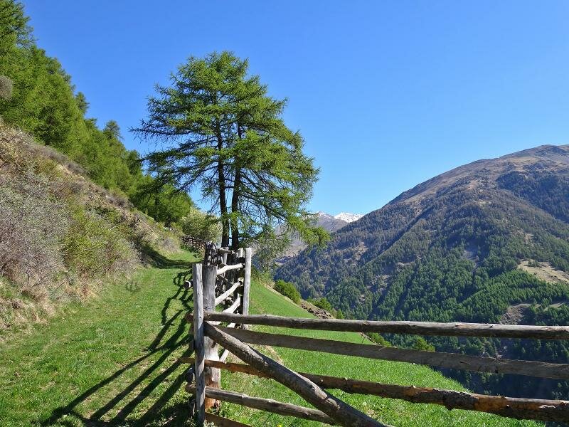
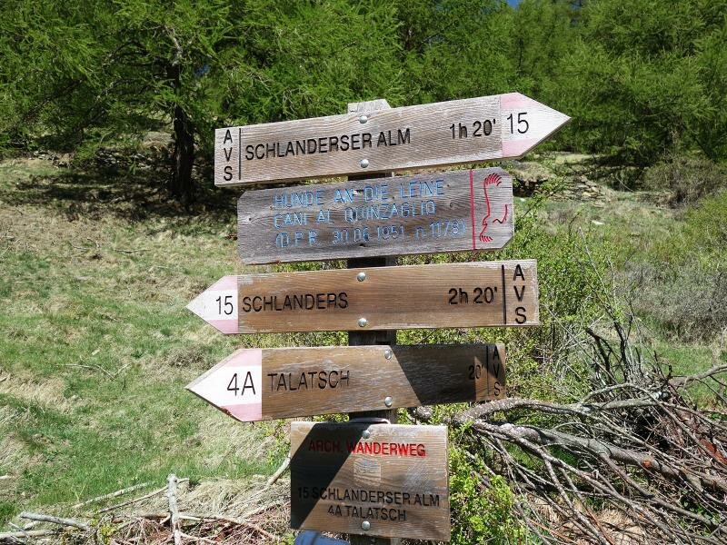
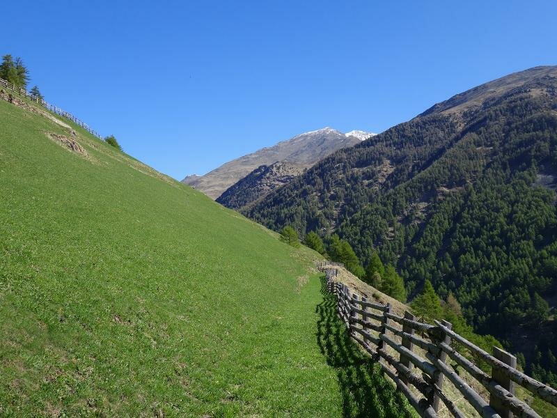
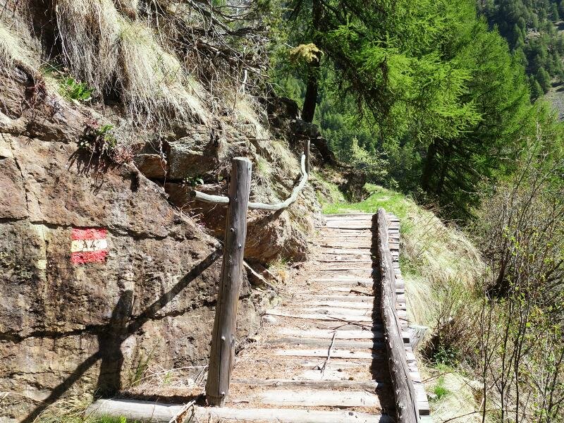


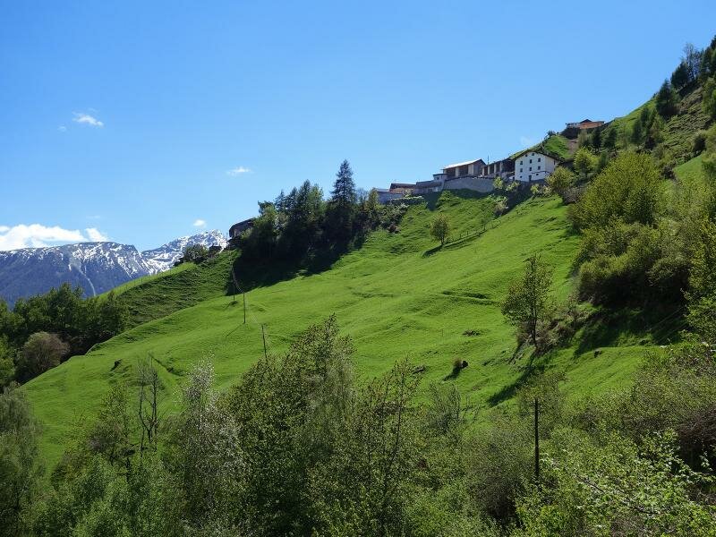
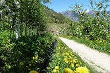
Starting point of our hike is the hamlet of Talaccio (Talatsch) at the Monte Sole di Silandro (literally: Sun Mountain). By car we go from Corces (Kortsch) along the mountain road to the little parking space at the fire station of Talaccio (1,470 m a.s.l.) The hike starts with a rough ascent across the steep meadows along the path no. 4A which proceeds to the Neuwaal irrigation channel.
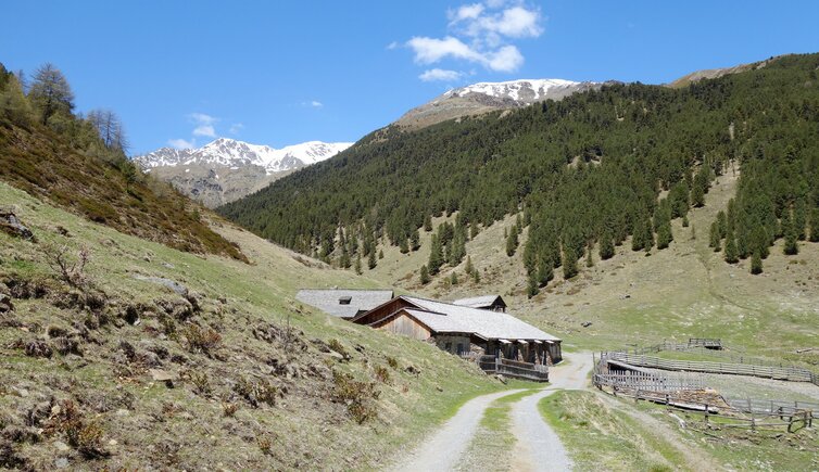
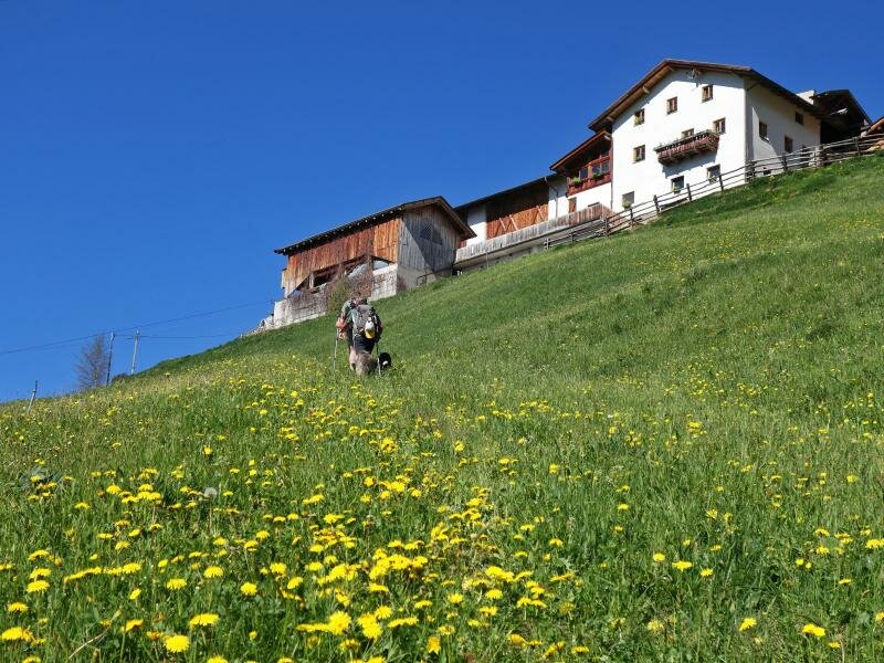
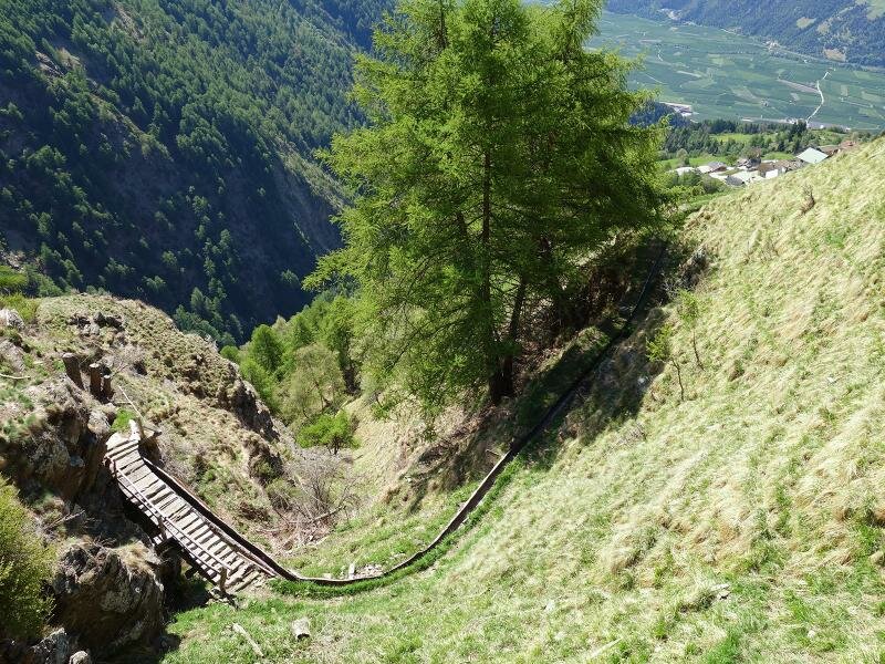
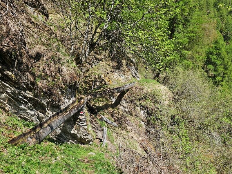
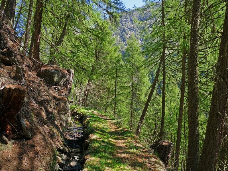
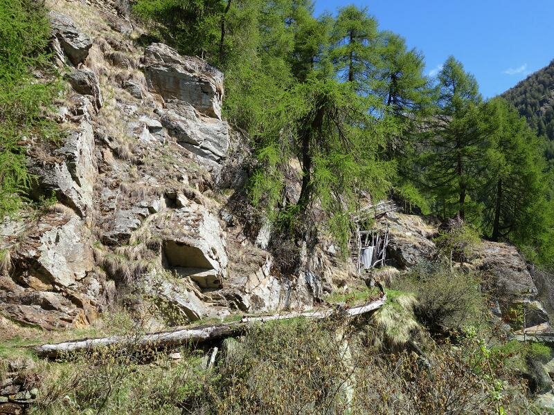
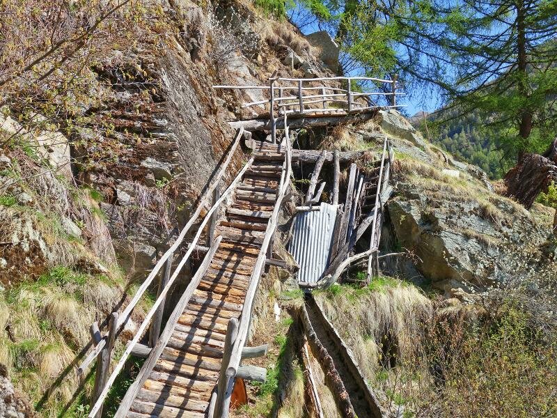
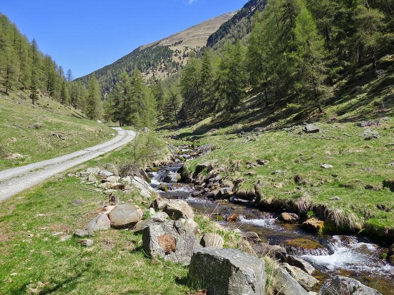
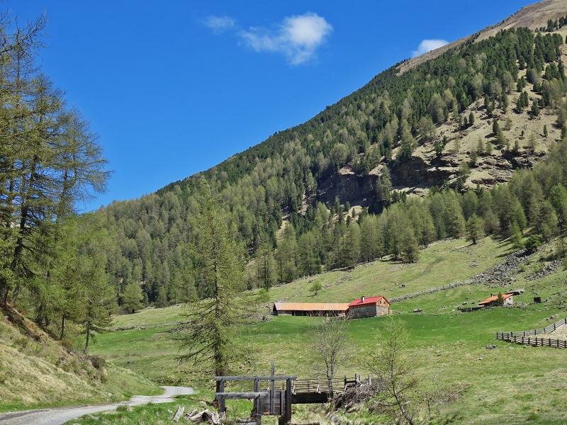
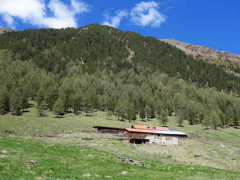
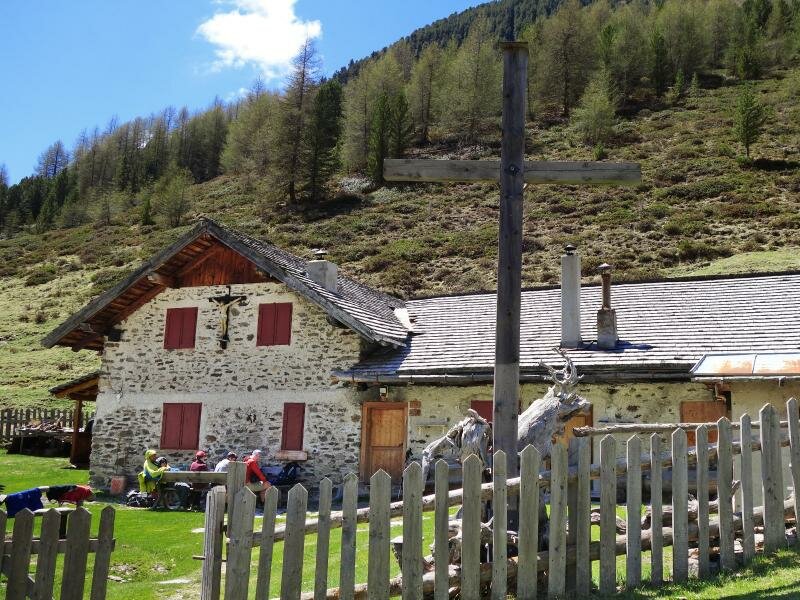
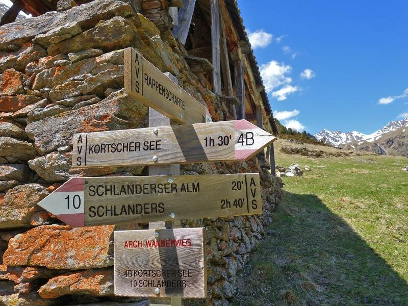
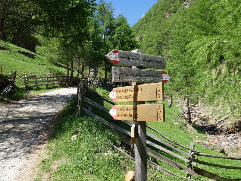
Once this is reached, the path proceeds almost flatly into the valley. The path along the Neuwaal partly is a narrow Waalweg path at steep slopes (of medium difficulty). Shortly before the Schupfer mountain huts at approx. 1,750 m a.s.l. it joins the forest road of the Valle di Silandro valley (Schlandrauntal), where the water for the irrigation channel is branched off from the Rio Schlandraun. Now the path proceeds steadily uphill further to the Malga di Silandro (Schlanderser Alm) and a little further on to the Malga di Corzes mountain hut. The Corzes Mountain Hut (Kortscher Alm) is the first alp of South Tyrol which is entirely organically farmed.
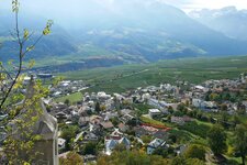
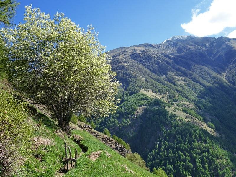
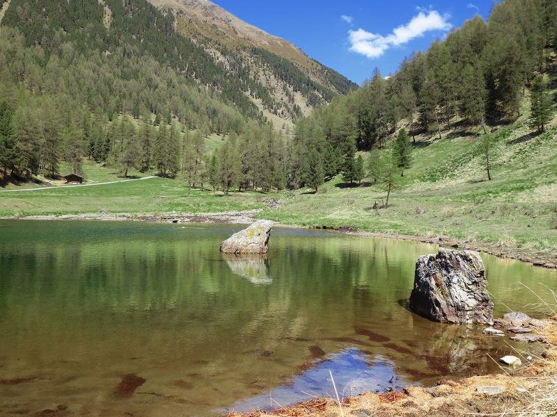
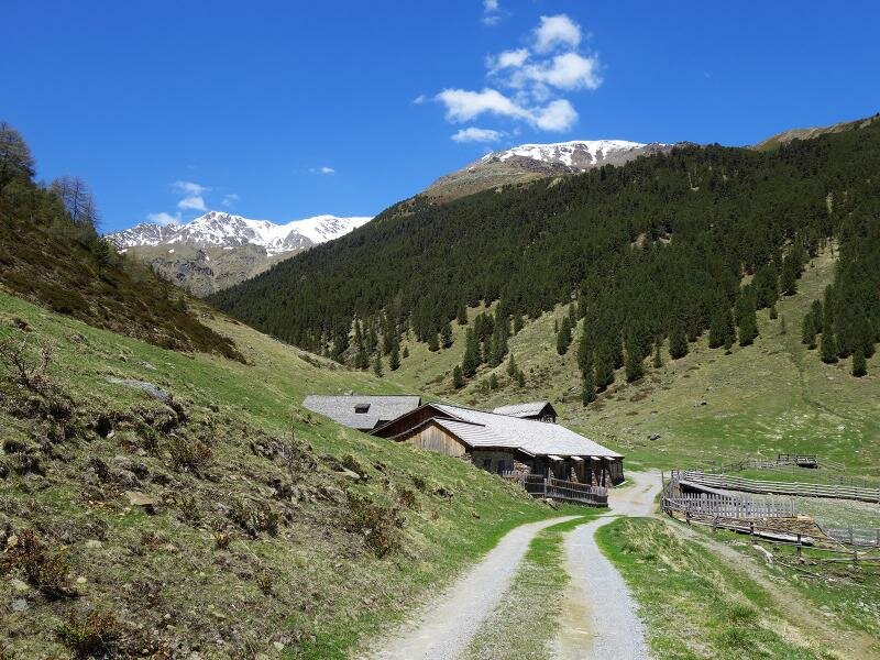
In summer the farm is also a little rest point for hikers. Here, the Silandro Valley presents itself as a gentle high valley with meadows and alpine pastures at more than 2,000 m a.s.l. For our way back we take the same route. An alternative would be to take the forest path downhill until the former "Mühlgütl" and from there to walk along the Val Venosta High Route back to Talaccio.
Author: AT
-
- Starting point:
- Talaccio (Monte Mezzodi di Silandro)
-
- Overall time:
- 03:55 h
-
- Total route length:
- 13,0 km
-
- Altitude:
- from 1.365 m to 1.986 m
-
- Altitude difference (uphill | downhill):
- +631 m | -631 m
-
- Signposts:
- "Schlandrauntal", 4A, Neuwaal, A4, 4, 10
-
- Destination:
- Kortscher alp
-
- Resting points:
- Kortscher Alp
-
- Recommended time of year:
- Jan Feb Mar Apr May Jun Jul Aug Sep Oct Nov Dec
-
- Download GPX track:
- Hike to the alps in the Valle di Silandro
If you want to undertake this hike, we recommend checking the weather and trail conditions in advance and on site before starting this hike!