A 3,000-metre peak in the Val Venosta: from Solda to the Alfredo Serristori Hut and to the 3,375-metre high Croda di Cengles
Image gallery: Mountain tour to Mt. Croda di Cengles
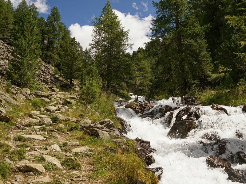
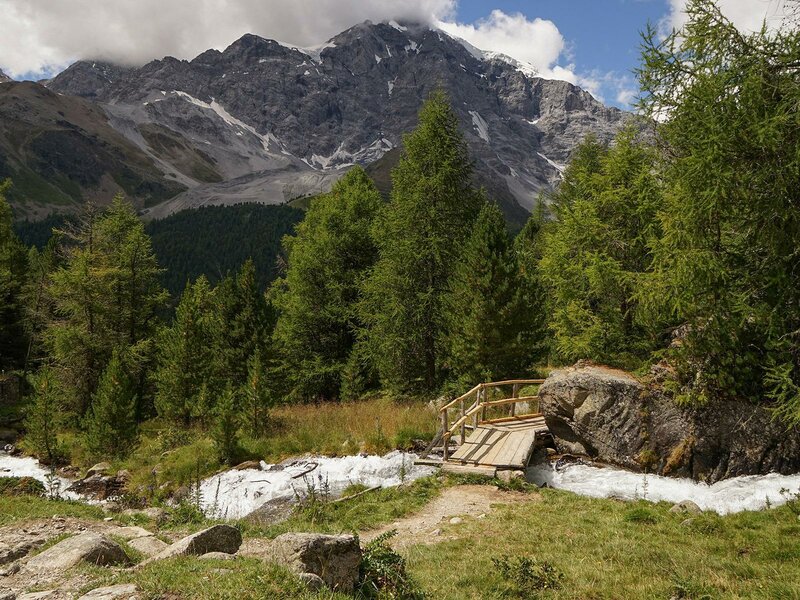
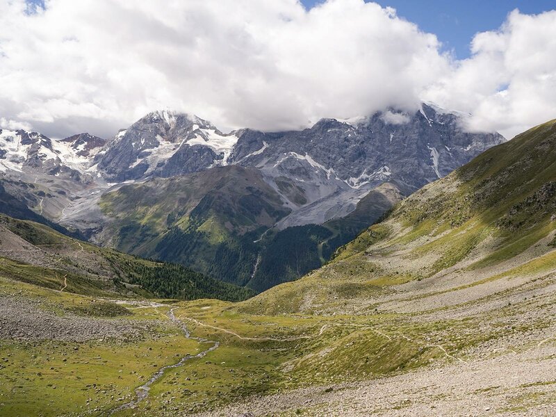
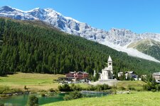
The valley station of the Pulpito Cable Car in the mountain village of Solda is our starting point to climb a 3,000-metre peak. Here, we cross the road and follow trail no. 5 through the Valle di Zai. Alternatively, taking the Pulpito Cable Car to the mountain station saves about 500 metres altitude difference uphill. The Rio di Zai runs alongside the path until we reach a high pasture.
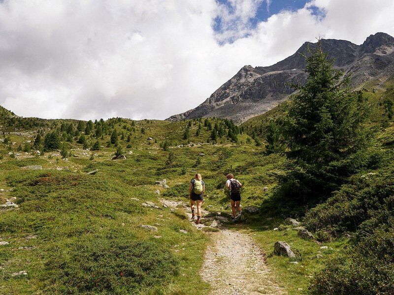
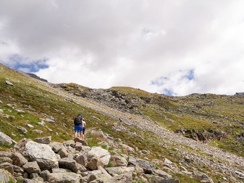
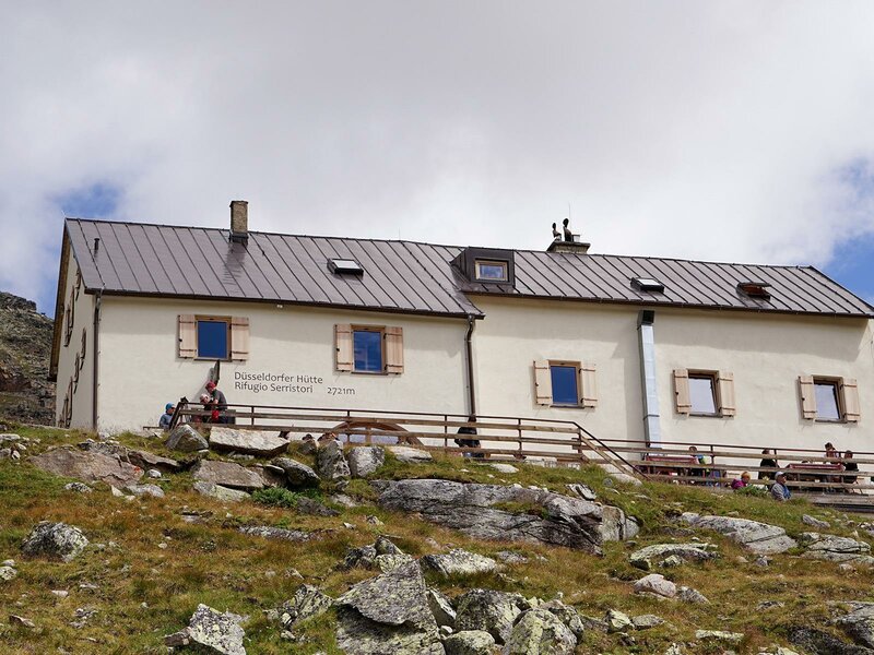
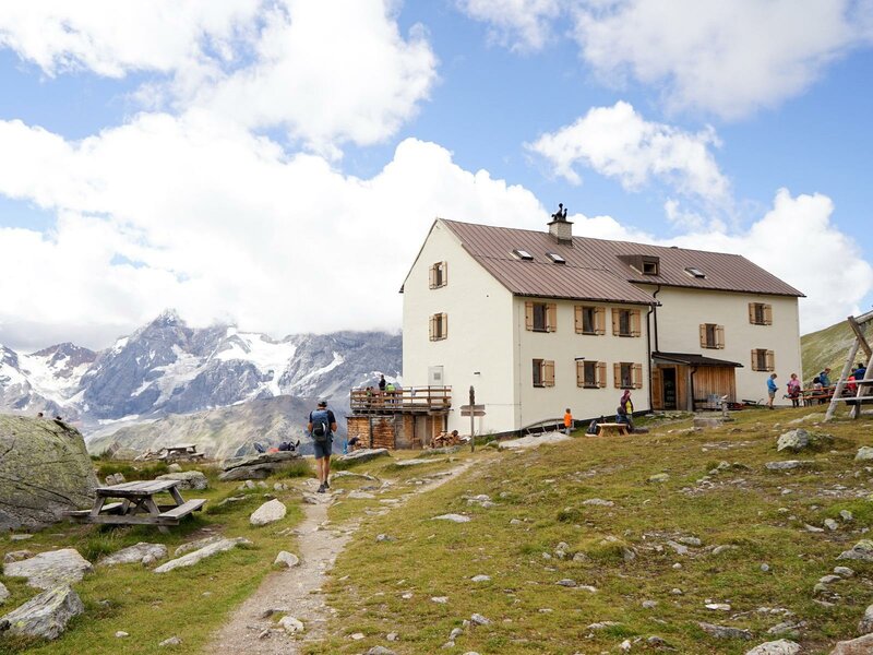
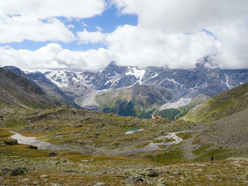
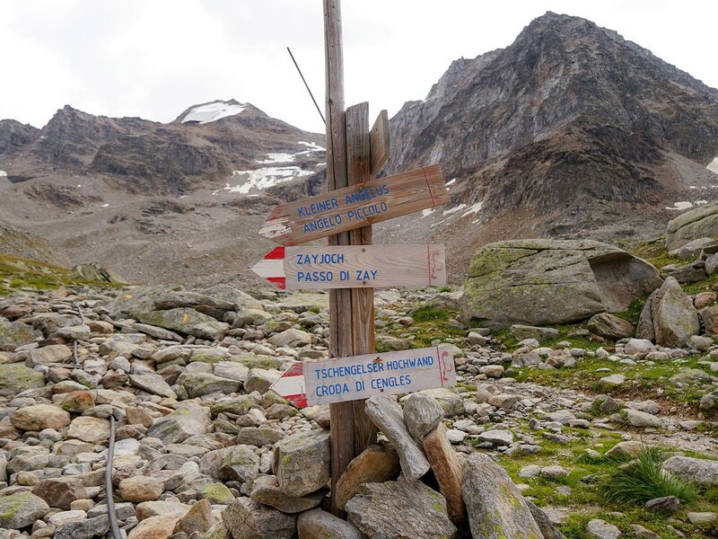
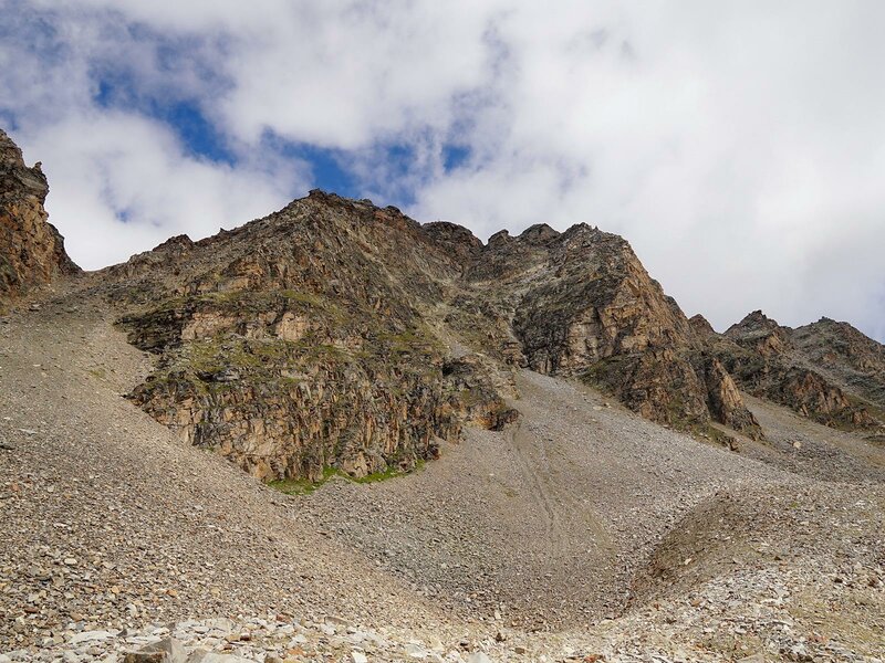
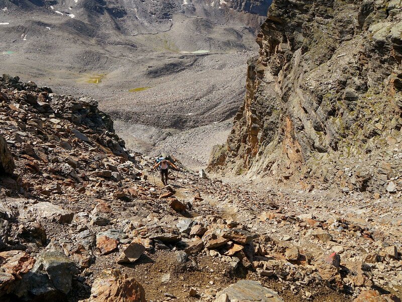
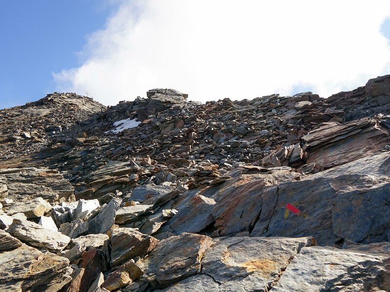
From here, a gentle climb leads us to the Rifugio Alfredo Serristori, or Düsseldorfer Hütte, at 2,721 metres. This ascent takes two and a half hours. Still following trail no. 5, we walk past several small mountain lakes beyond the hut and enter a moraine landscape. At a fork in the trail, there are two options: the normal route or the mostly highly exposed via ferrata.
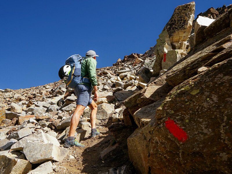
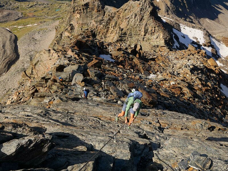
We choose the normal route, which leads us up steep switchbacks to the col. From there, the path becomes more technically challenging. We have to scramble over stone slabs that are loose and slippery in places. A short climbing section gets our pulse racing before we reach the exit of the via ferrata, known as the Südwandsteig. Now we head up to the summit.
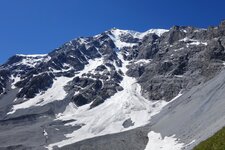
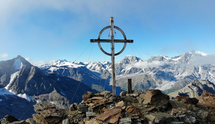
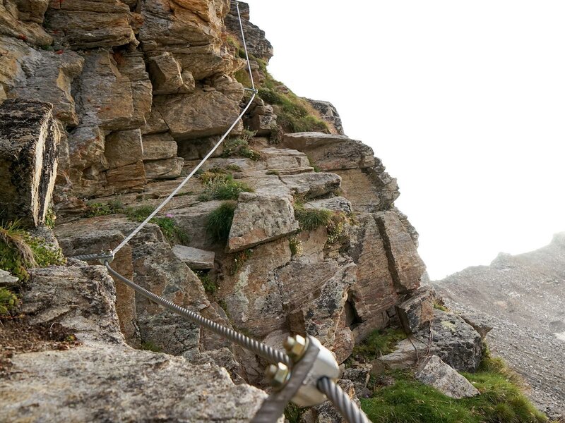
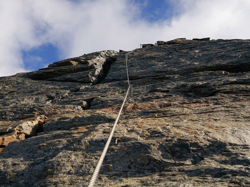
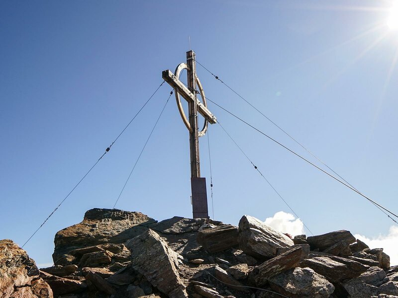
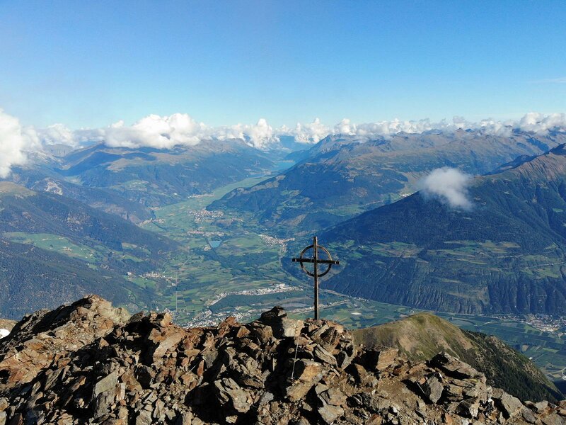
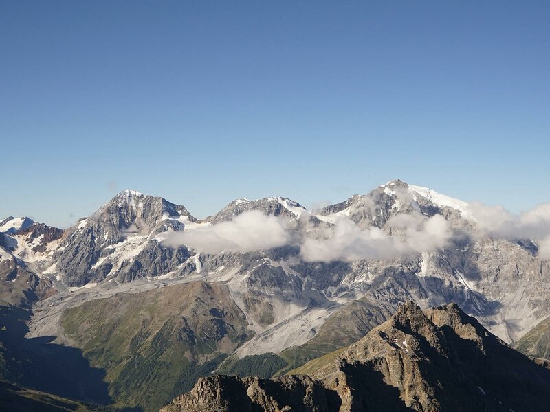
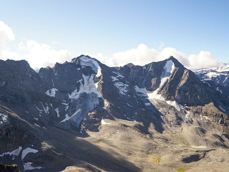
Difficult and exposed sections are secured with steel cables and iron pegs. Once we reach the top of the Croda di Cengles (Tschenglser Hochwand), other peaks of the Lasa Mountains and the Ortles Alps tower before us: the Angelo Grande, Cima Vertana, Cevedale, Gran Zebrù, Zebrù, and "King" Ortles. The Lasa Mountains themselves are a sub-group of the Ortles Alps.
Alternative route: The Croda di Cengles is named after the village of Cengles in the valley. Its "New Via Ferrata", also known as the Südwandsteig, is one of the highest via ferratas in the Alps. Mostly exposed, it leads in places across the southern cliffs of the mountain up to the summit (difficulty rating C). Sure-footedness, a good head for heights, and alpine experience are essential for this mountain tour. The via ferrata should only be climbed with the appropriate equipment.
Author: PG
Experienced: August 2020
Last updated: 2026
-
- Starting point:
- valley station of the Pulpito Cable Car in Solda (1,860 m a.s.l.)
-
- Overall time:
- 08:00 h
-
- Total route length:
- 15,3 km
-
- Altitude:
- from 1.860 m to 3.375 m
-
- Altitude difference (uphill | downhill):
- +1511 m | -1511 m
-
- Signposts:
- no. 5
-
- Destination:
- summit of the Croda di Cengles (3,375 m a.s.l.)
-
- Resting points:
- Alfredo Serristori Mountain Hut (June to early October)
-
- Recommended time of year:
- Jan Feb Mar Apr May Jun Jul Aug Sep Oct Nov Dec
-
- Download GPX track:
- Mountain tour to Mt. Croda di Cengles
-
- More information:
- The overall time shown above refers to the walking time only, not including breaks or stops.
We highly recommend checking the weather and trail conditions in advance and on site before starting this tour.