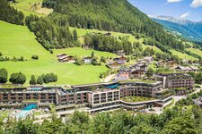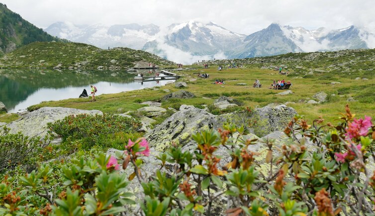
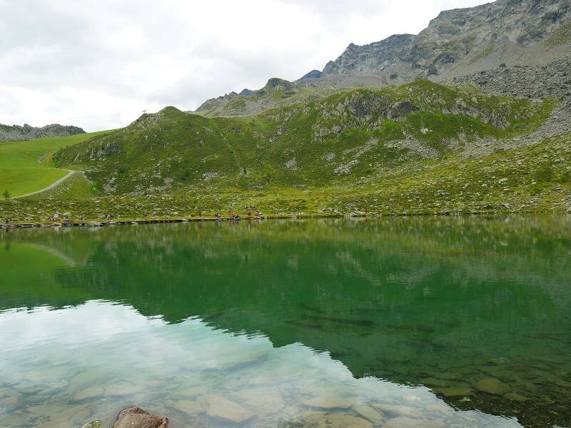
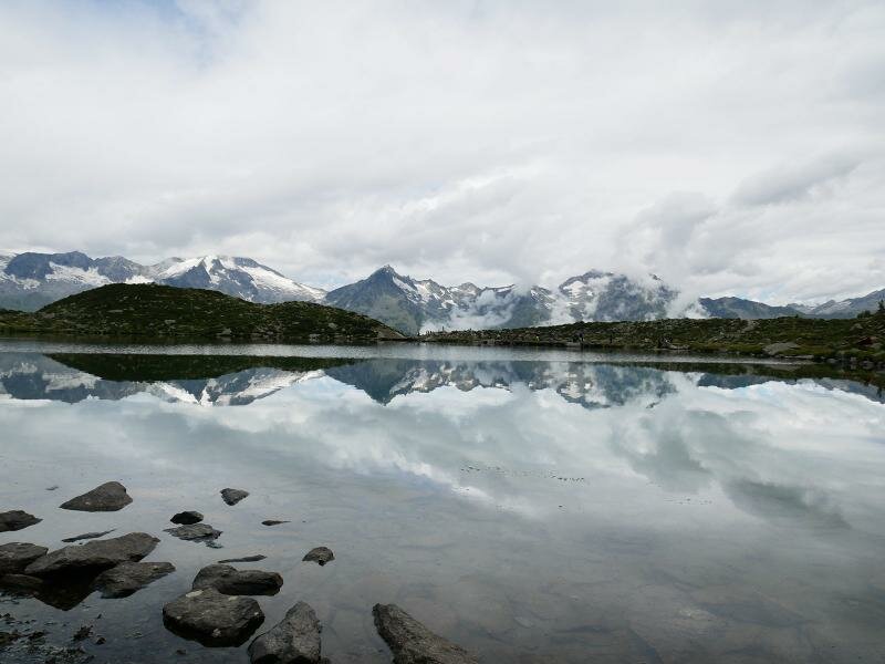
Today we enjoy an excursion in the Klausberg hiking area in the Valle Aurina valley to the mountain lake below Mt. Fumo at 2,160 m a.s.l
Image gallery: Hike on the Monte Klausberg to Lake Chiusetta
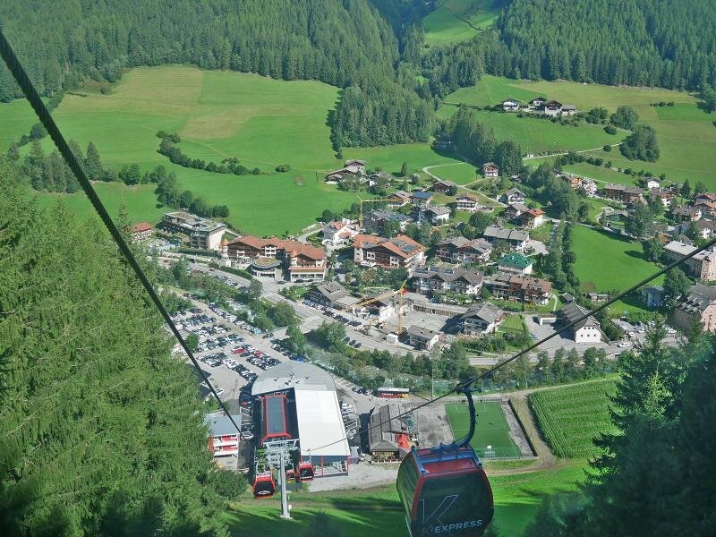
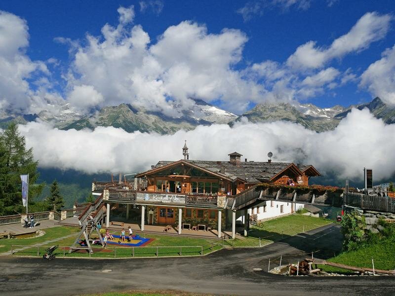
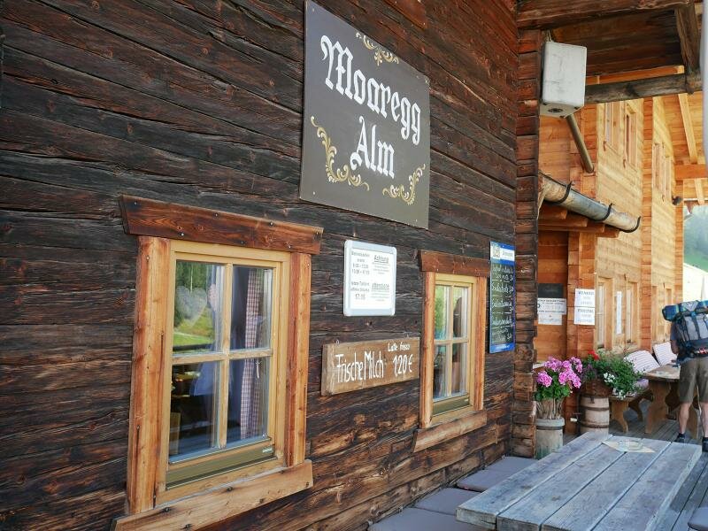
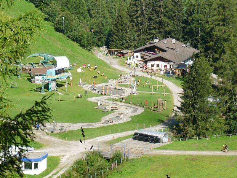
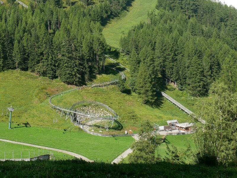
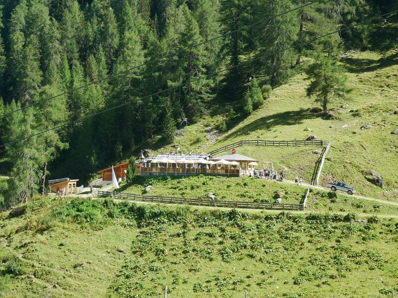
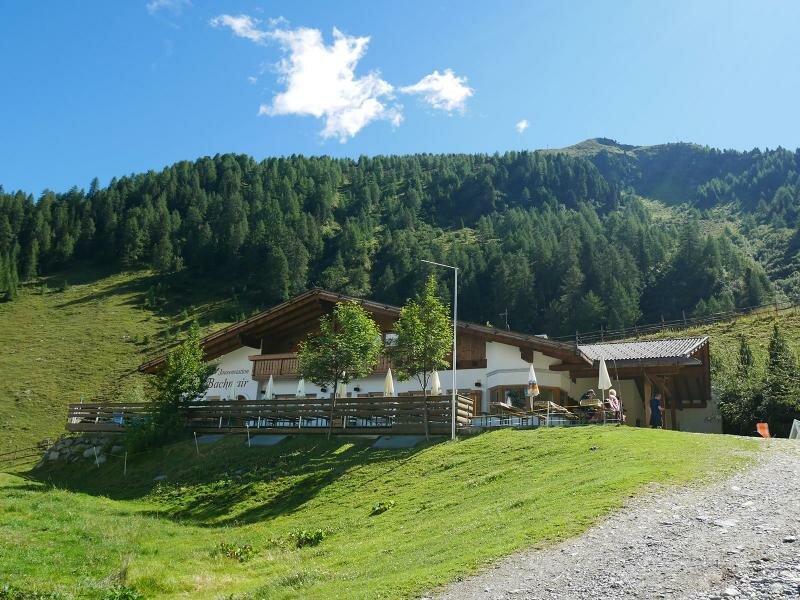
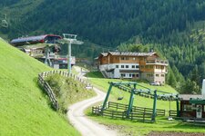
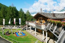
Lake Chiusetta (Klaussee) is a little mountain lake located in the Klausberg skiing and hiking area. Our starting point is the Kristall Mountain Hut (Kristall-Alm) which is located at the mountain station of the "K-Express" Cable Car coming up from Cadipietra (Steinhaus). The route follows the maker no. 33 (Durreck High Route) and proceeds past several mountain huts. At the starting point, the Moaregg Mountain Hut is located and slightly below the Almboden Mountain Hut, with summer toboggan run "Alpine Coaster" and the "Family Word" children's playground.
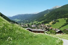
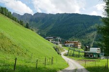
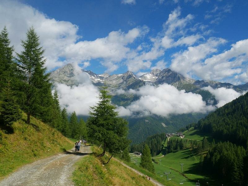
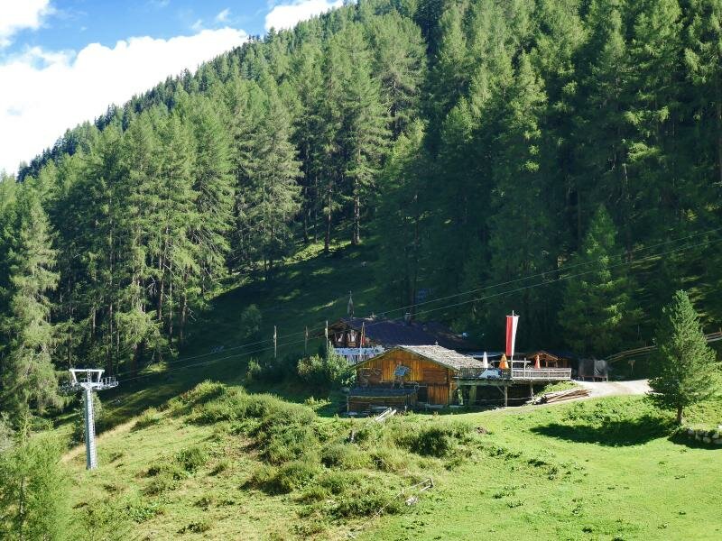
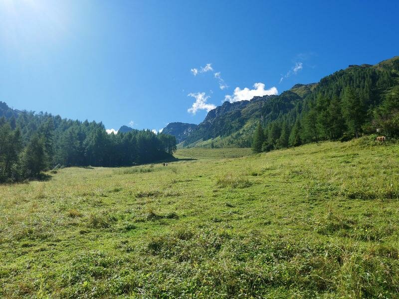
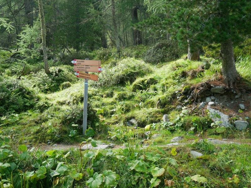
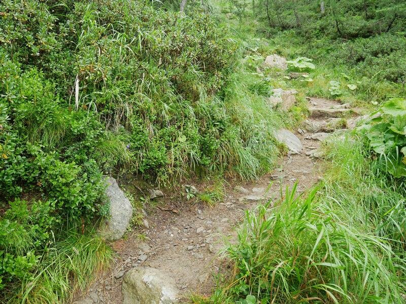
After the Moaregg Mountain Hut we can decide, if we want to walk along the gravelled road or the hiking path at the edge of the forest (steeper but shorter). During the ascent we pass the Speck and Schnaps Mountain Hut, the Baurschaft Mountain Hut and the Bachmair tavern. The path proceeds steadily uphill and follows the ski slope which is used as pasture in summer.
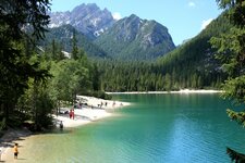
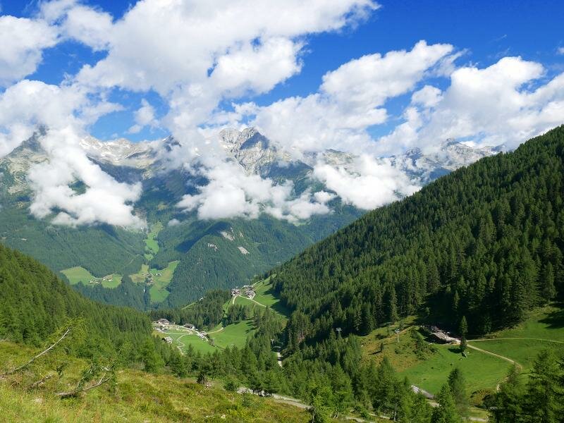
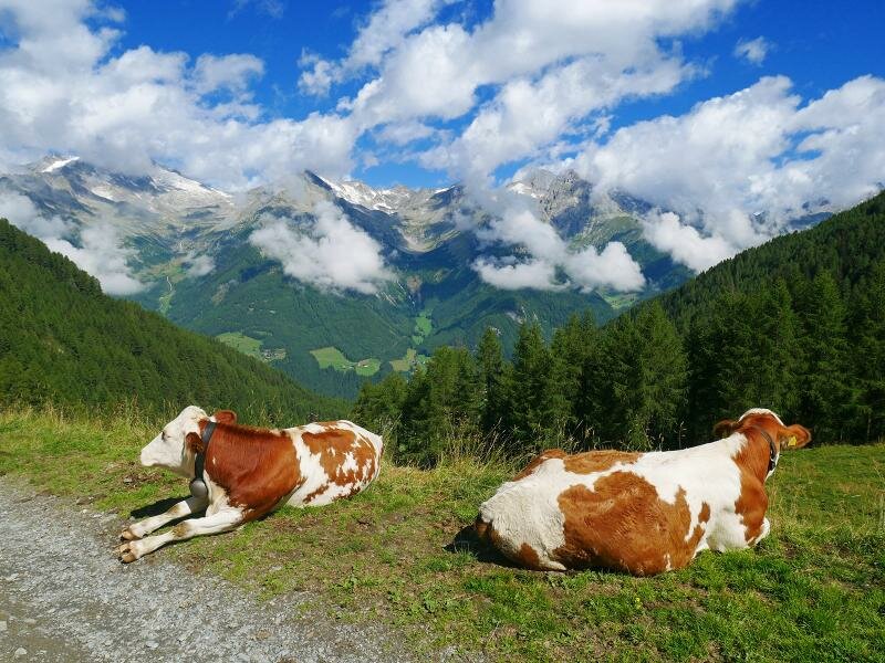
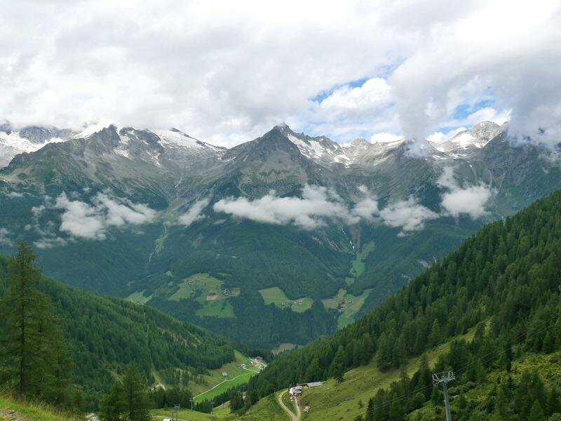
After about 2 hours we have reached our destination at 2,160 m a.s.l. Lake Chiusetta is located in a hollow below the Monte Fumo mountain. It's worth to walk round the lake and to enjoy the beautiful view on the Zillertal Alps. The heath offers wild berries and marmots are whistling in the rocks. For our way back we take the same route. Those who want to extend the tour, can walk further uphill or do a circuit walk to the Grossklaustal valley.
Author: AT
-
- Starting point:
- Kristall-Alm mountain hut (mountain station of the Klausberg Cable Car)
-
- Overall time:
- 02:40 h
-
- Total route length:
- 6,2 km
-
- Altitude:
- from 1.590 m to 2.160 m
-
- Altitude difference:
- +575 m | -575 m
-
- Signposts:
- no. 33 (Durreck Höhenweg)
-
- Destination:
- Lake Klaussee
-
- Resting points:
- Malga Speck und Schnaps Alm, Malga Baurschaft Alm, Jausenstation Bachmair
-
- Recommended time of year:
- Jan Feb Mar Apr May Jun Jul Aug Sep Oct Nov Dec
-
- Download GPX track:
- Hike on the Monte Klausberg to Lake Chiusetta
If you want to do this hike, we suggest you to check the weather and trail conditions in advance and on site before setting out.