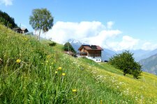
Starting from Tablà di Naturno, we hike through the meadows and woods on the lower Monte Tramontana
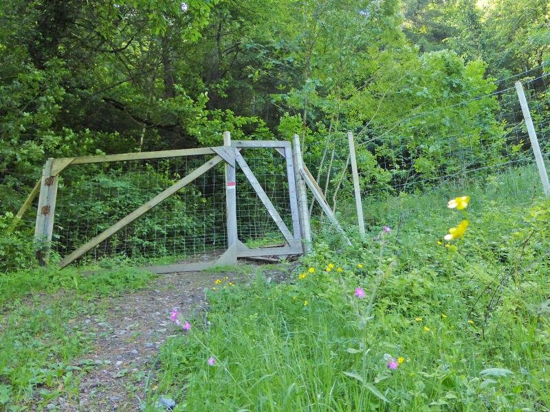
Image gallery: Circular hike on the Montefontana
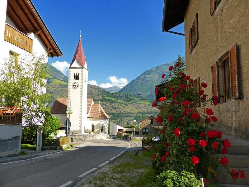
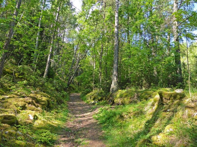
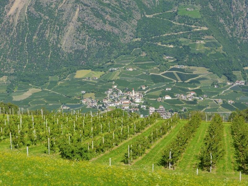
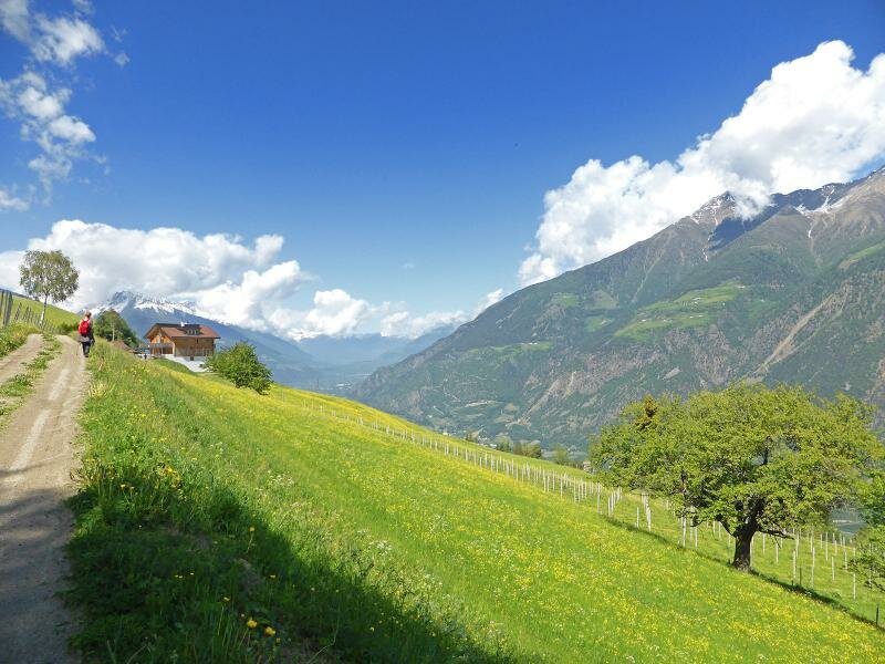
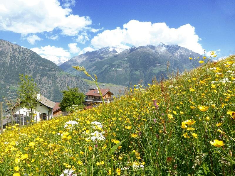
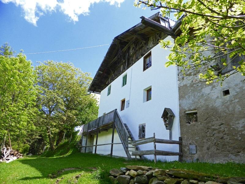
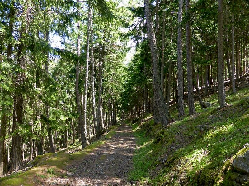
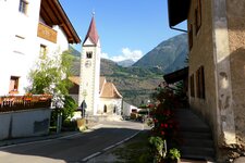
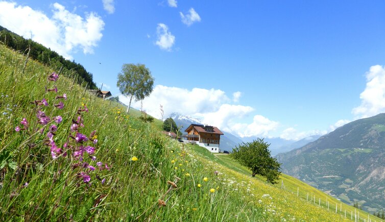
Our circular hike begins in Tablà di Naturno: Surrounded by apple orchards, the village stretches across an alluvial cone at the mouth of the Valle Casaletta valley. We follow trail no. 4, which leads us up the Monte Tramontana. Walking through the deciduous forest, we climb up to the farms of Montefontana, which are also a well-known stop on the way to the Marzon Hut.
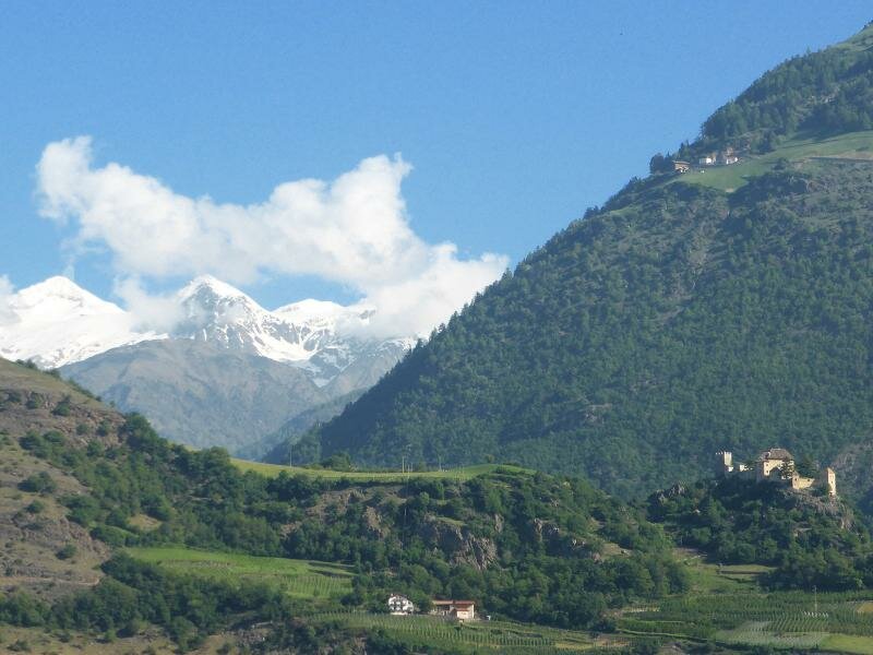
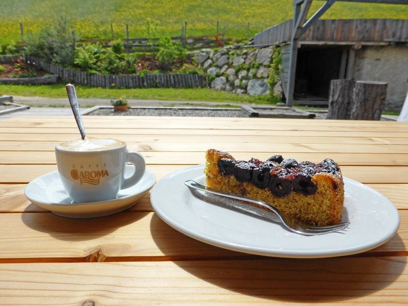
The Niedermairhof farm stands in a meadow clearing at 1,120 metres above sea level. Its farm tavern is highly recommended for a bite to eat, and from the terrace, there is a beautiful view of the Val Venosta near Castelbello and Ciardes. Afterwards, we hike even higher.
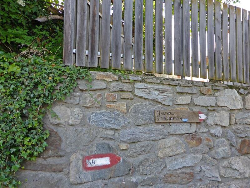
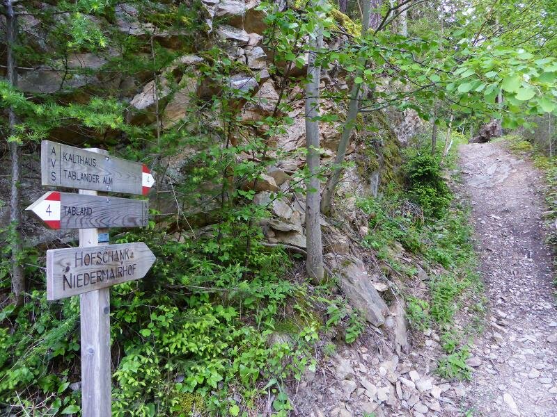
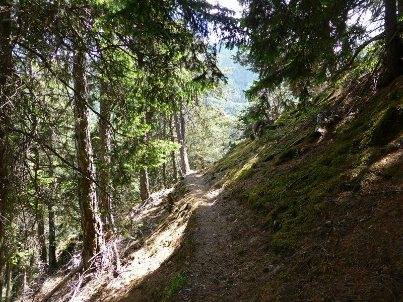
This time it's on a rather steep path: We follow trail no. 9 to the Kalthaus farms, which lie 130 metres higher up. Next, we take trail no. 13 into the Valle Casaletta valley. From there, trail no. 5 leads us back through the forest to complete the loop and return to Tablà.
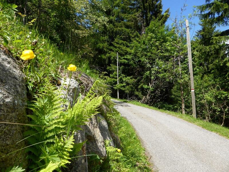
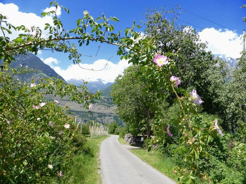
Alternatively, you can choose the asphalt mountain road for your return. This is an ideal hike in May to get ready for the coming summer!
Author: AT
Experienced: May 2014
Last updated: 2026
-
- Starting point:
- Tablà di Naturno (670 m a.s.l.)
-
- Overall time:
- 03:20 h
-
- Total route length:
- 10,5 km
-
- Altitude:
- from 670 m to 1.303 m
-
- Altitude difference (uphill | downhill):
- +638 m | -638 m
-
- Route:
- Tablà - Montefontana - Valle Casaletta - Tablà
-
- Signposts:
- no. 4, 9, 13, 5
-
- Destination:
- farms of Montefontana and Kalthaus farms
-
- Resting points:
- Niedermair farm tavern (April to December)
-
- Recommended time of year:
- Jan Feb Mar Apr May Jun Jul Aug Sep Oct Nov Dec
-
- Download GPX track:
- Circular hike on the Montefontana
-
- More information:
- The overall time shown above refers to the walking time only, not including breaks or stops.
If you want to undertake this hike, we recommend checking the weather and trail conditions in advance and on site before starting this hike!