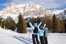
The 2,818 m high summit of Mt. Croda Rossa is highly panoramic destination - the route is without notable difficulties, but rather long
Image gallery: Ski tour to Mount Croda Rossa
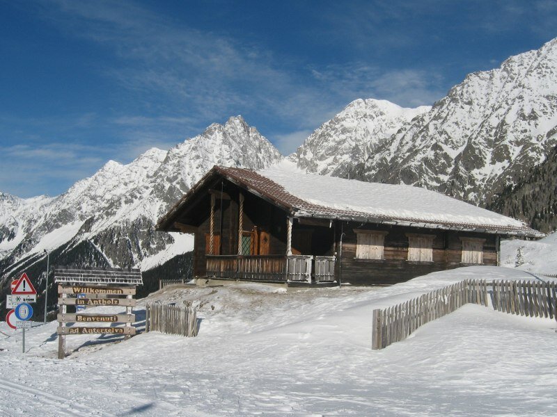
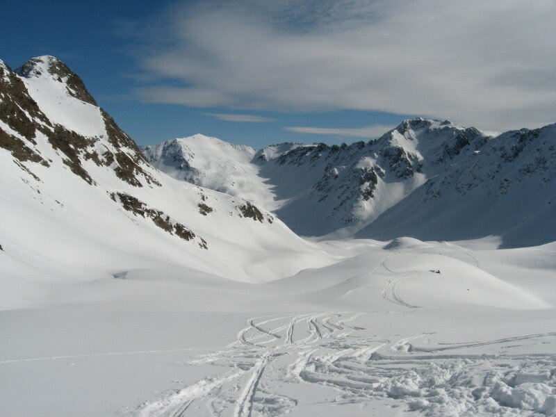
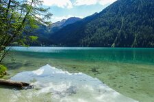
The starting point of our tour to Mt. Croda Rossa is the parking space at Lake Anterselva (1,641 m a.s.l.) in Anterselva di Sopra. Along the eastern lakeside (or across the frozen lake) we head for the Gentian Mountain Hut (Enzianhütte, Rif. Genziana) and farther up to the Passo Stalle, which is reached by traversing the forest near one of the toboggan runs of the Val Pusteria. From time to time we cross the toboggan run, before we finally reach the mountain pass (2,030 m a.s.l.).
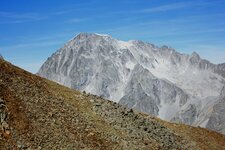
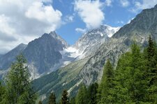
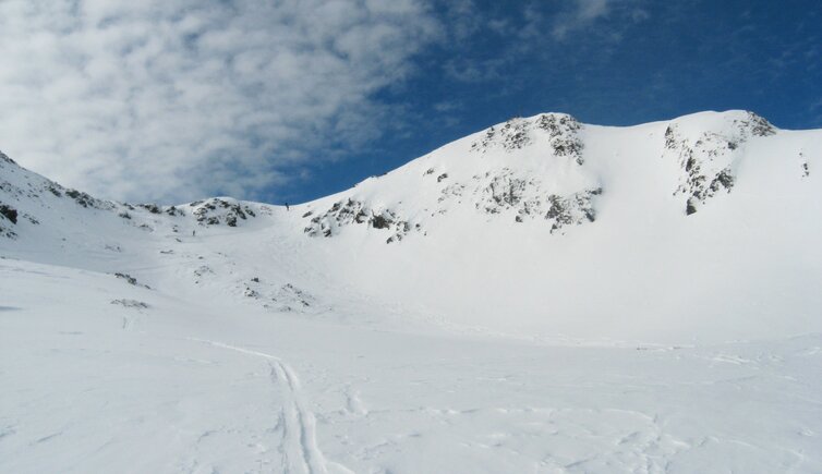
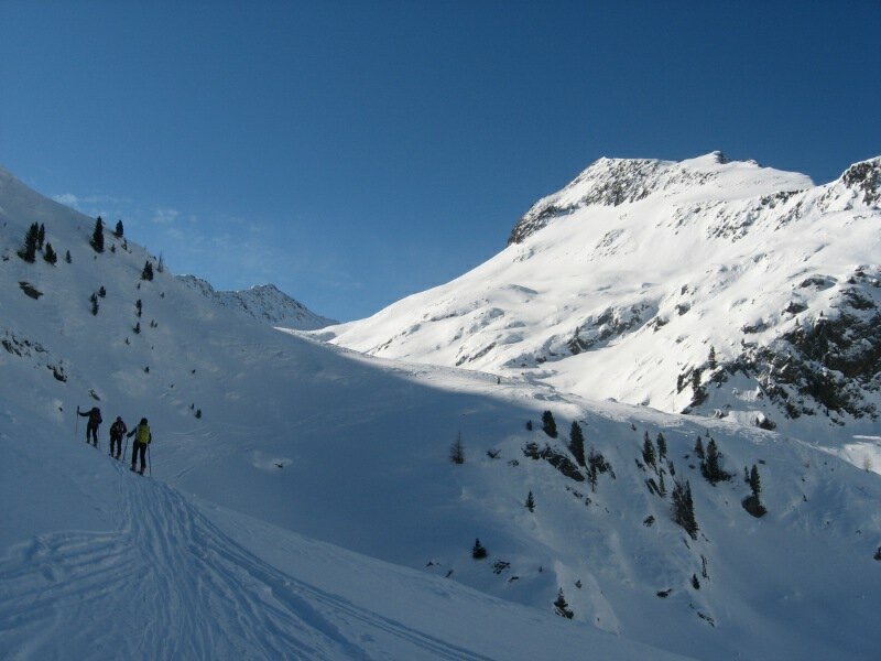
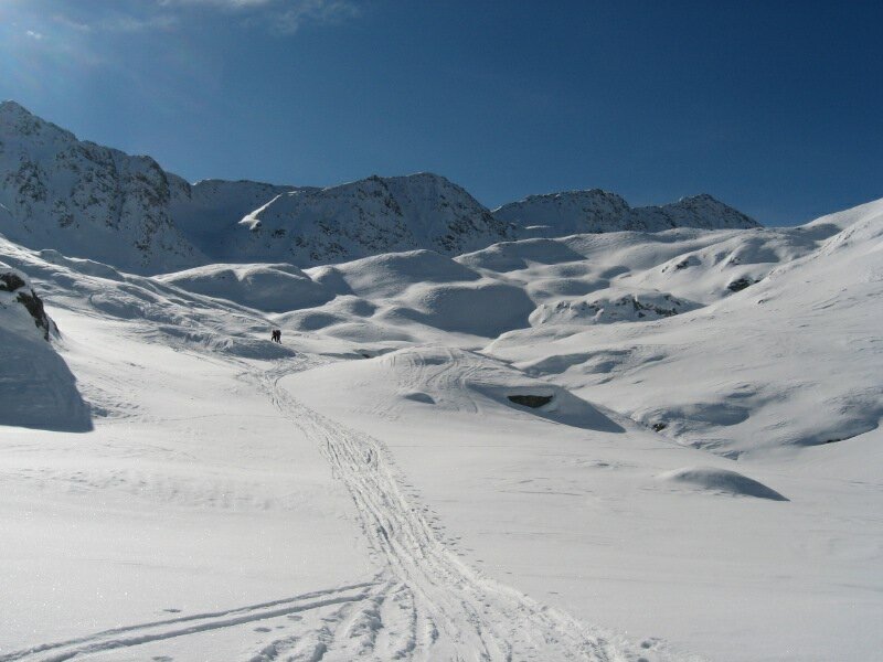
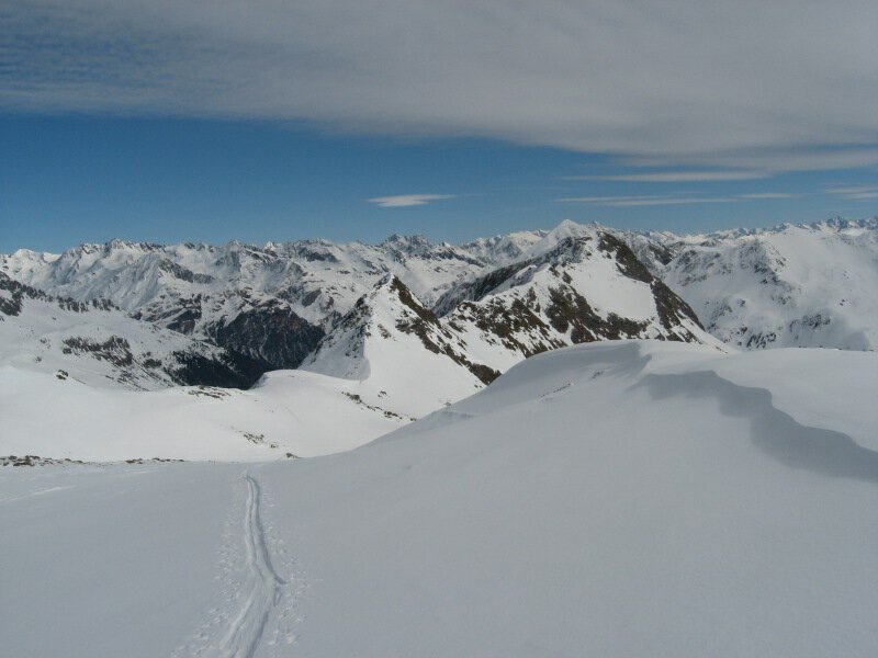
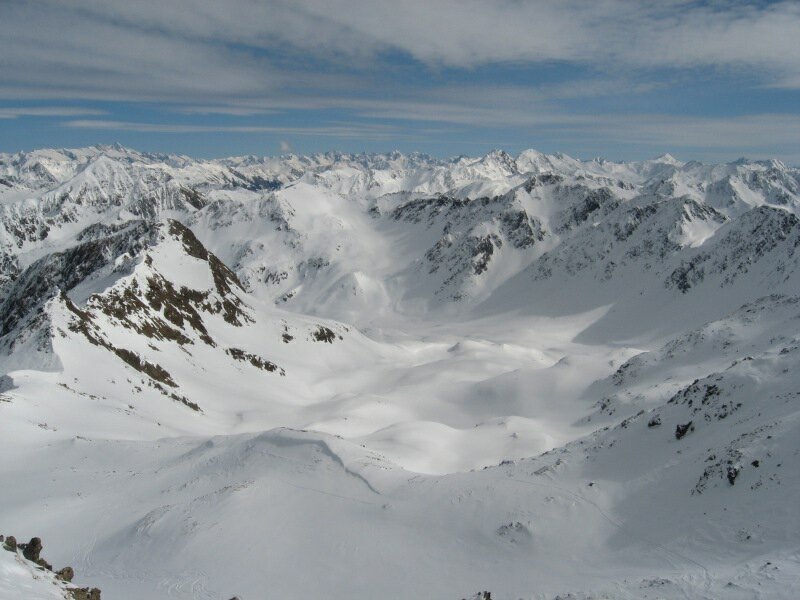
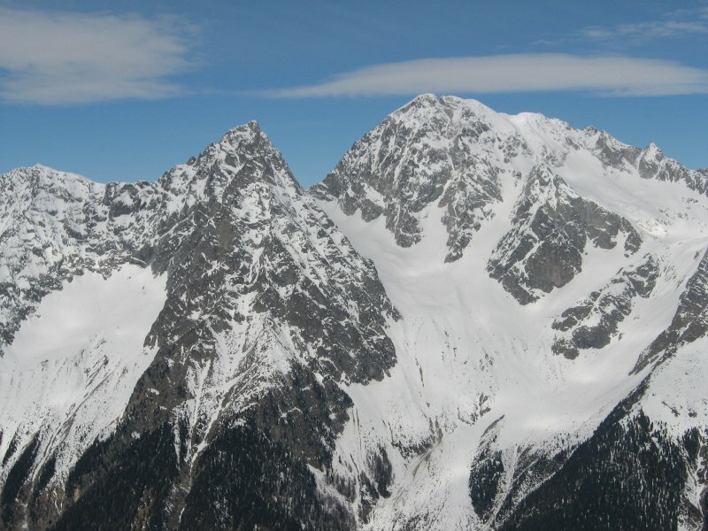
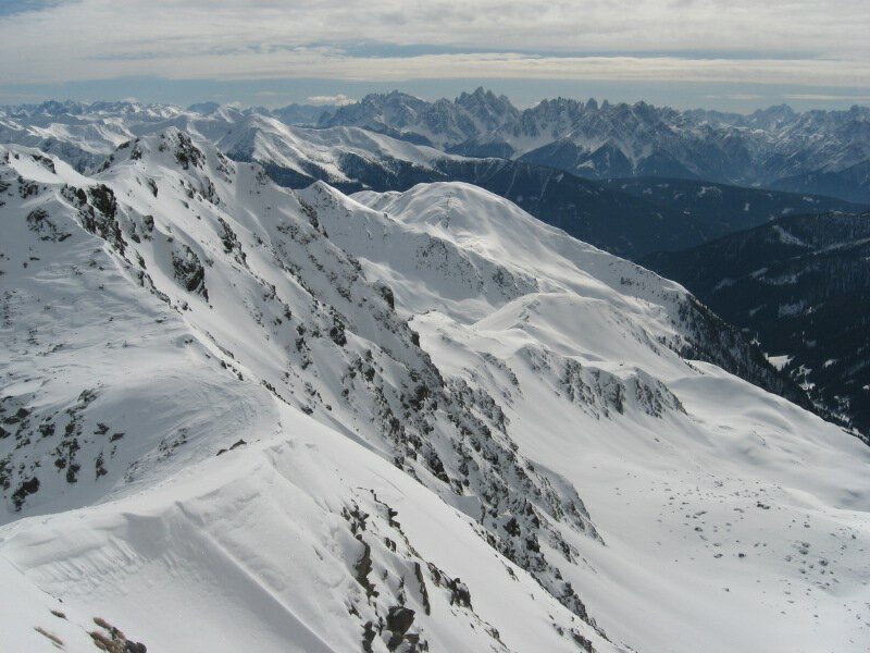
After a short break we continue on the right, at the foot of a mountain back between the Weissenbach and Agstall Valleys. Across rather flat terrain, we walk towards south. When we stop for a bite to eat, the summit is already visible. Then we branch off to the west and zigzag the slope underneath the summit. On foot we reach the highest point at 2,818 m a.s.l., that offers a great viewing platform and a fantastic view on the surrounding mountains in South and East Tyrol.
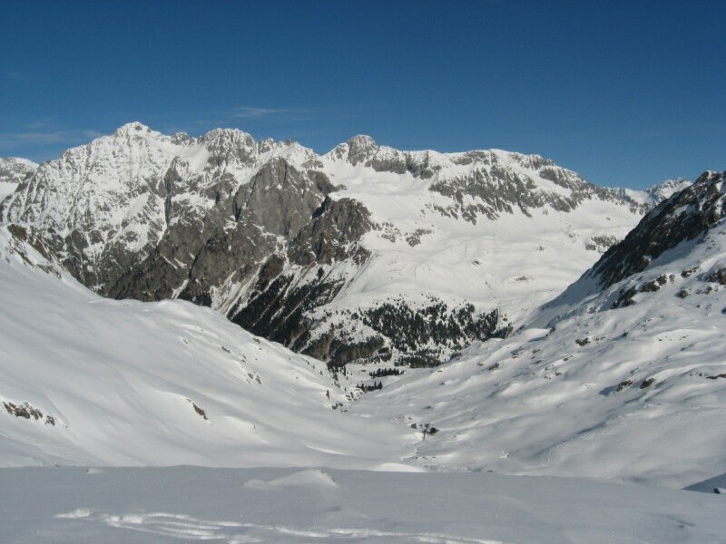
On the other side of the valley, Mt. Collalto and Mt. Collaspro catch our sight. For skiing down you have the possibility to choose from the way on which you came, or the direct version to the Montal Mountain Hut (that requires absolutely secure conditions). This tour in the Rieserferner Group is not too difficult, but long and recommendable only to those with kilter. The direct descent is steep!
Author: BS
-
- Starting point:
- parking space at Lake Anterselva
-
- Overall time:
- 04:30 h
-
- Total route length:
- 9,6 km
-
- Altitude:
- from 1.644 m to 2.771 m
-
- Altitude difference:
- +1127 m | -0 m
-
- Destination:
- Mount Croda Rossa
-
- Resting points:
- Tiroler, Gentian, Stalle and Montal Mountain Huts
-
- Recommended time of year:
- Jan Feb Mar Apr May Jun Jul Aug Sep Oct Nov Dec
-
- Download GPX track:
- Ski tour to Mount Croda Rossa
-
- More information:
- Orientation of the slope: W, NE - the track length and the time required refer to the ascent
We suggest you to check the weather conditions in advance and on site before setting out. Don’t forget to check the current avalanche forecast!