Spring hike in the area of Lana, Tesimo and Foiana on the Acquaviva Path to the famous hill of St. Hippolytus
Image gallery: Hike to the hill of St. Hippolytus
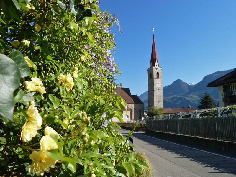
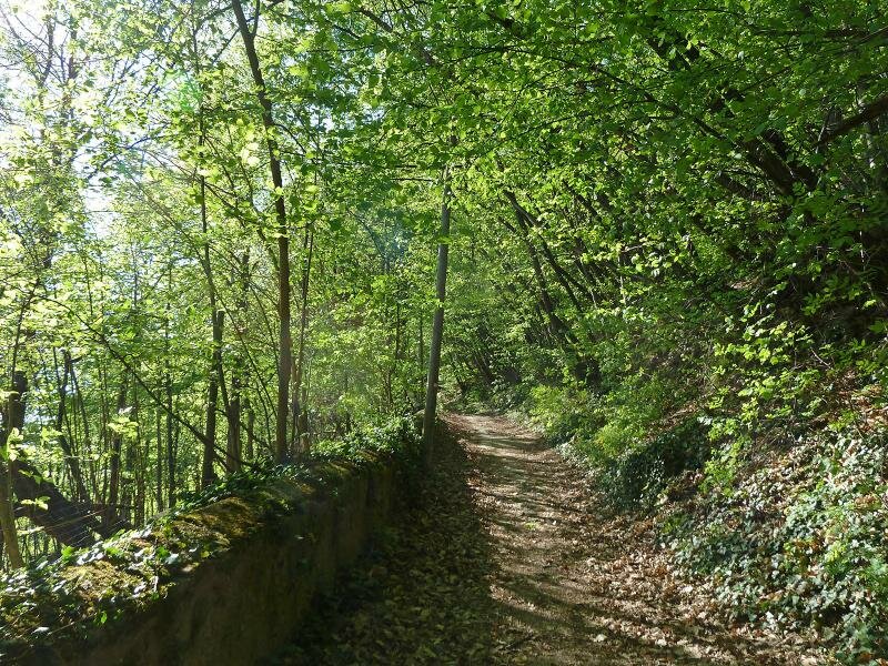
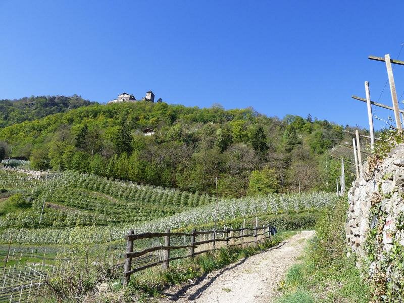

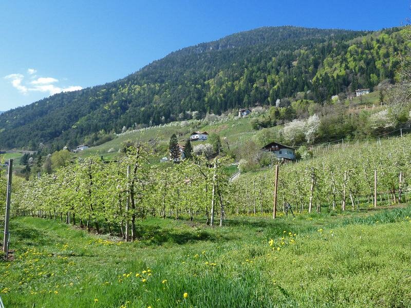
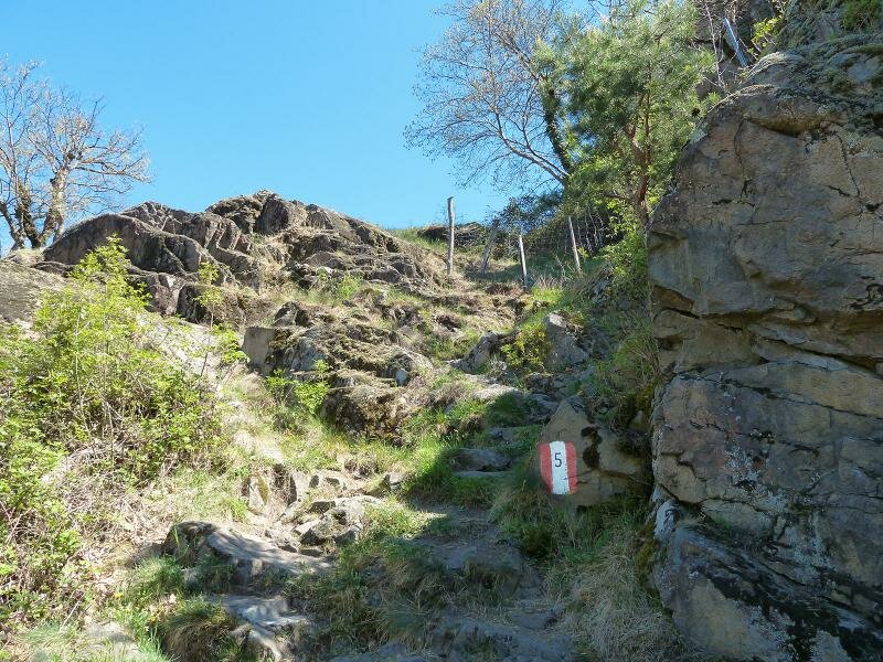
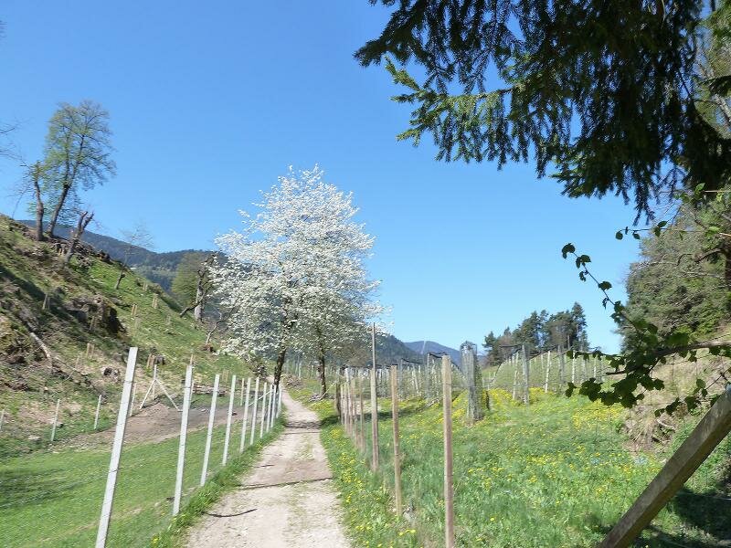
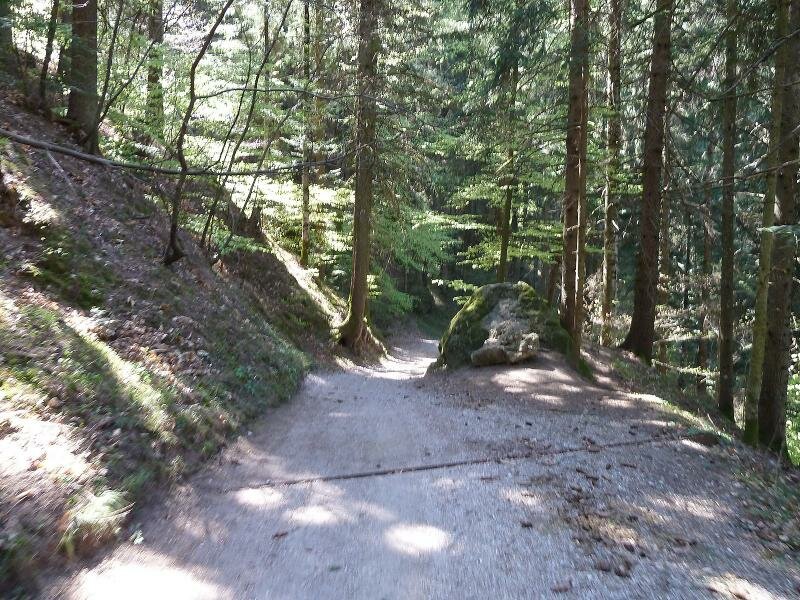
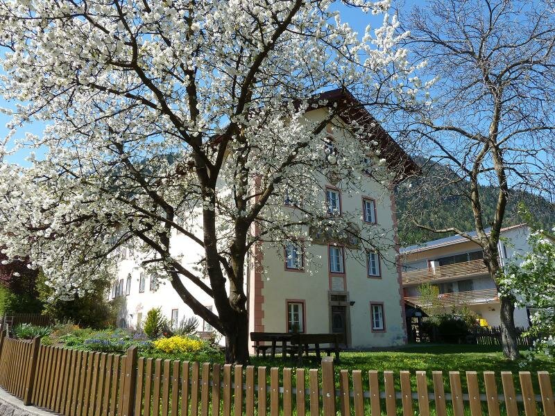
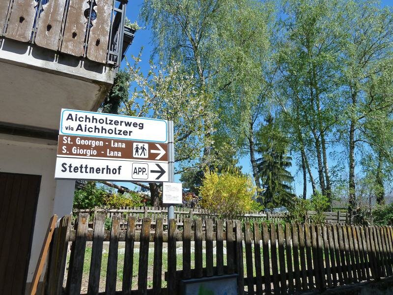
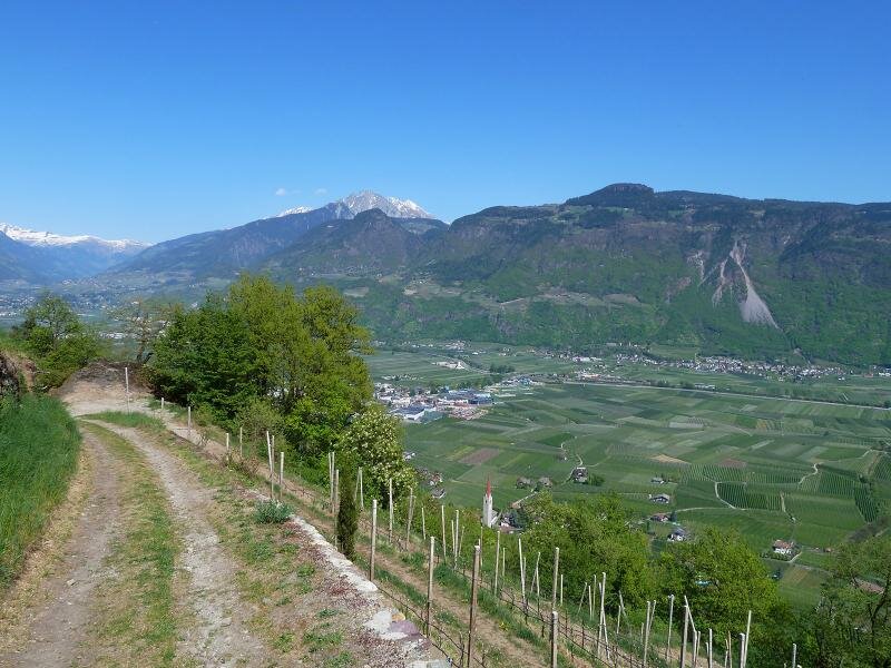

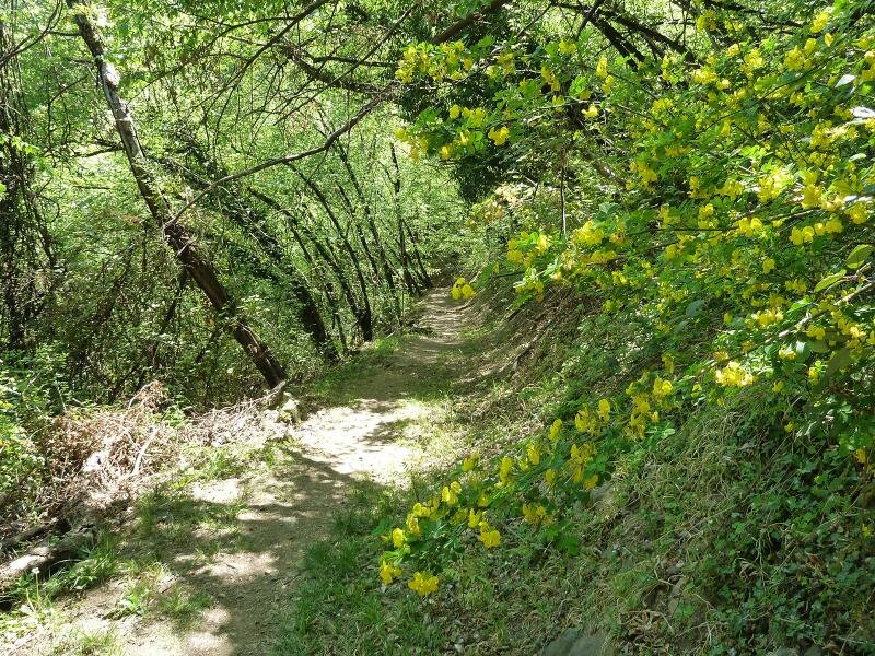
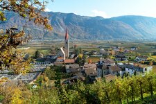
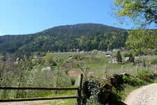
We start at the church of Lana di Sotto (Niederlana) towards the golf course and follow then the path no. 5 to the farms of Acquaviva (Ackpfeif). Through the green broadleaf forest the path proceeds steadily uphill to the terraces which are surrounded by blooming apple trees, then the path no. 5A leads us to Narano (Naraun).
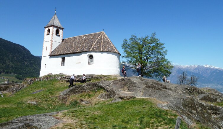
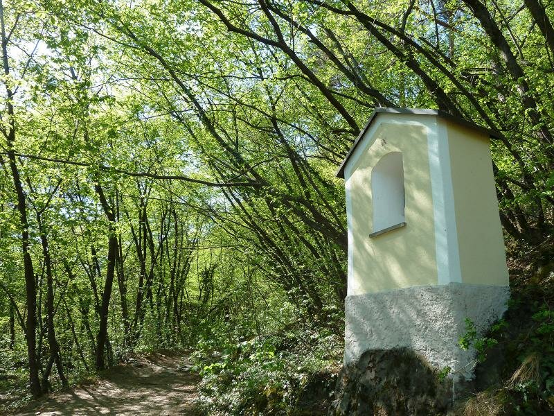
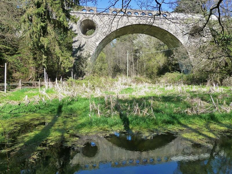
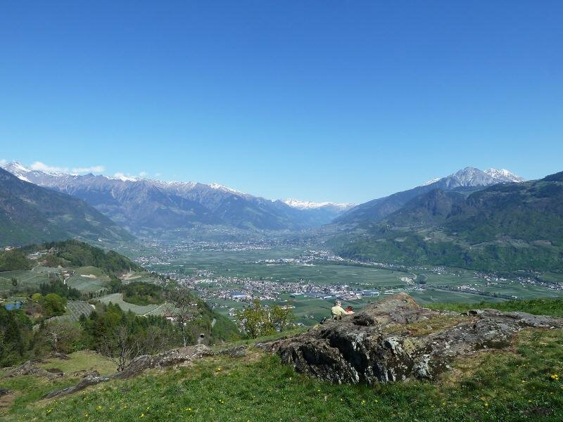
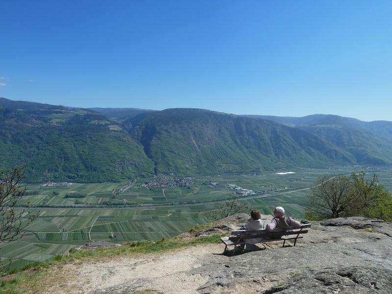
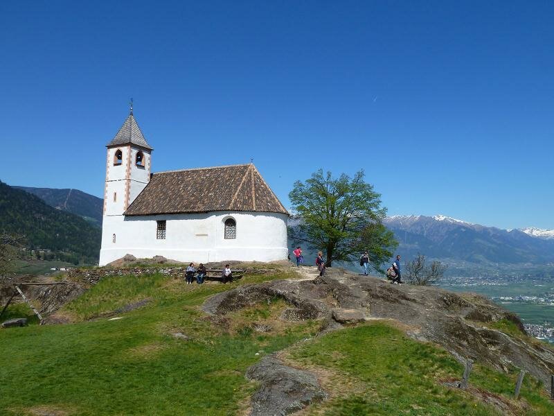
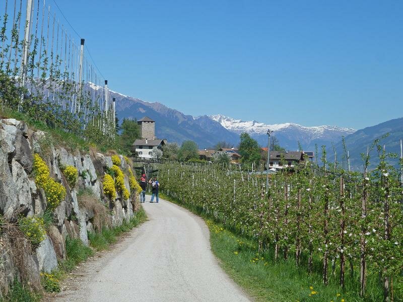
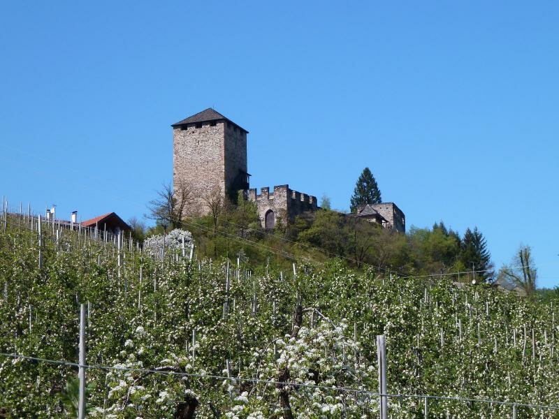
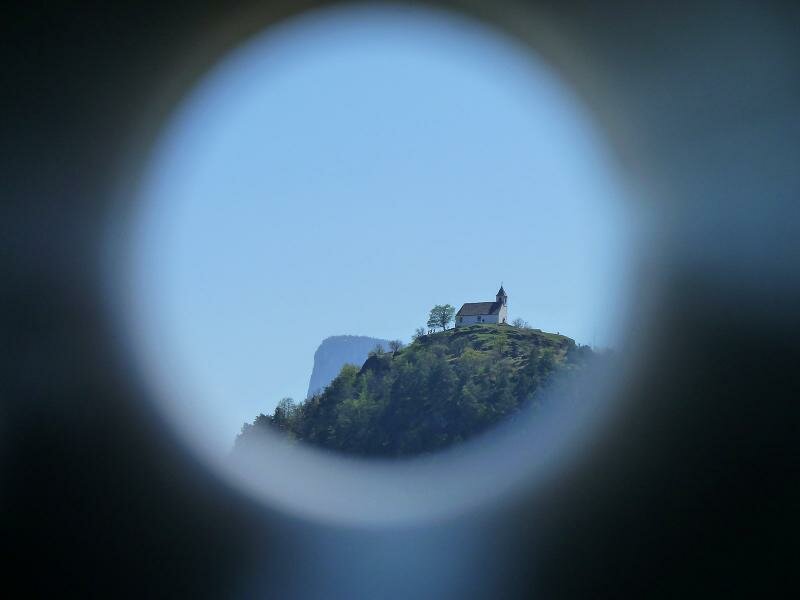
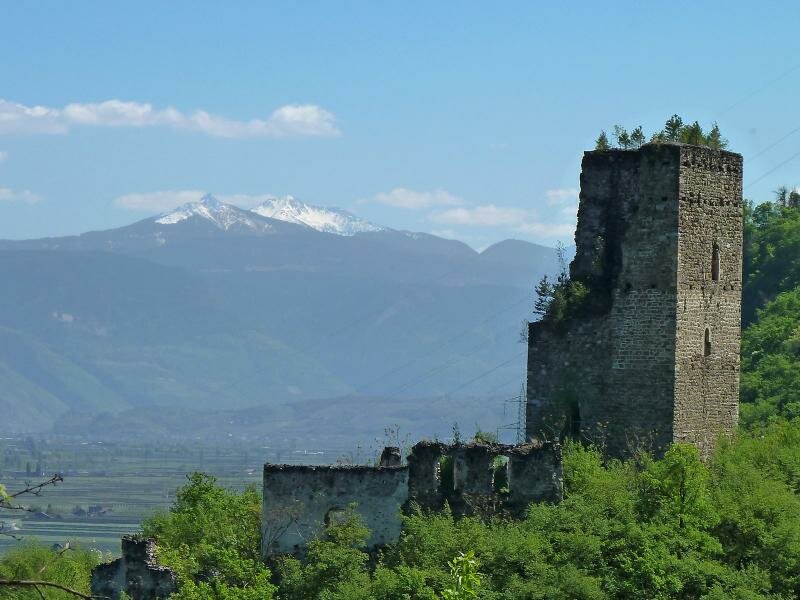
After the underpass of the viaduct at the Passo delle Palade road we follow the Path of the Senses to the little Church of St. Hippolytus (12th century), located on the magic hill, from where we enjoy a fantastic view on the Valle dell'Adige valley with Merano and the surrounding alpine world.
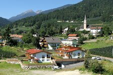
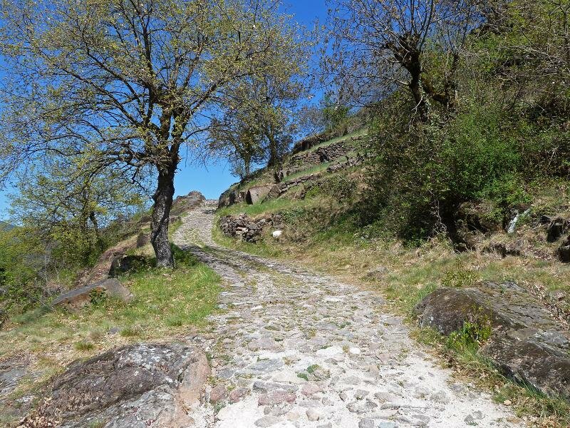
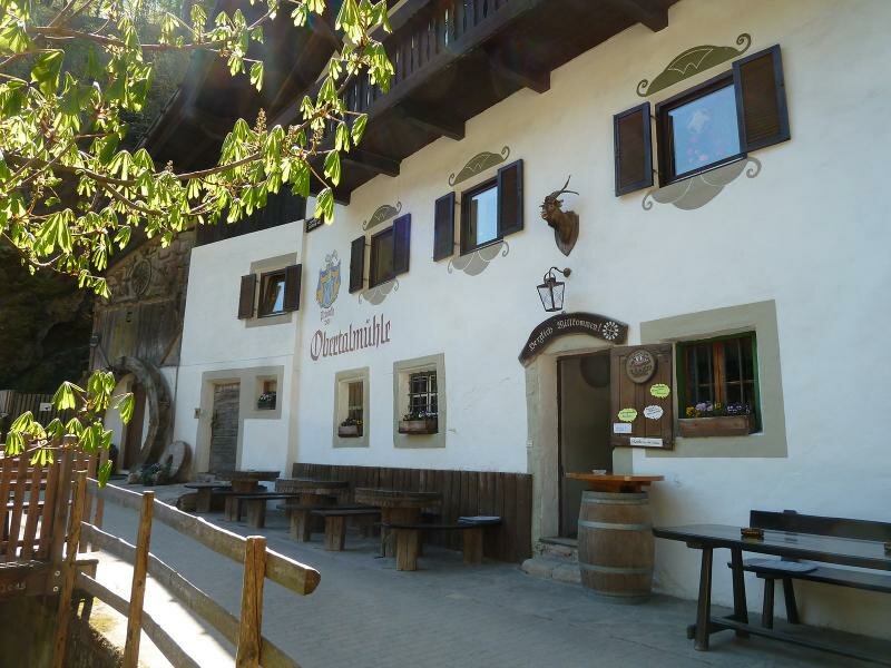
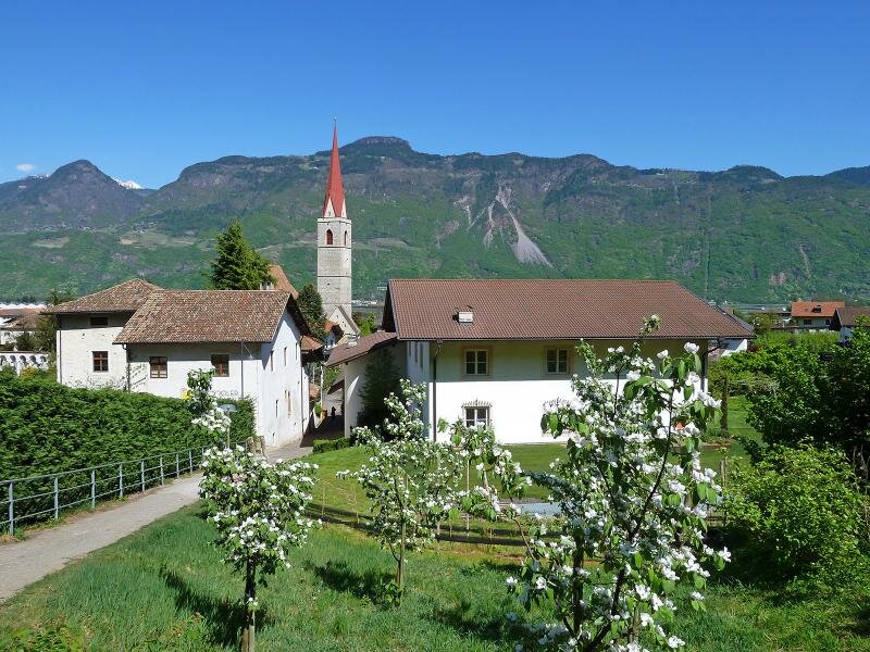
Now we follow the markers no. 5, 7 and 8 to the "Talmühle Inn" at the Brandis creek and further to Foiana. Here a comfortable walk down to Lana di Sotto along the path no. 1 starts. After crossing the Passo delle Palade road and a steep section we reach the Brandis Waalweg path and Lana.
Author: AT
-
- Starting point:
- Lana di Sotto
-
- Overall time:
- 03:30 h
-
- Total route length:
- 10,7 km
-
- Altitude:
- from 275 m to 728 m
-
- Altitude difference:
- +490 m | -490 m
-
- Signposts:
- no. 5, 5A, 5, 7, 8, 1
-
- Resting points:
- Brandiskeller, Finsterbichler, Obertalmühle
-
- Recommended time of year:
- Jan Feb Mar Apr May Jun Jul Aug Sep Oct Nov Dec
-
- Download GPX track:
- Hike to the hill of St. Hippolytus
If you want to do this hike, we suggest you to check the weather and trail conditions in advance and on site before setting out.