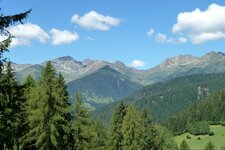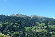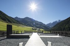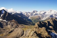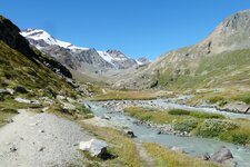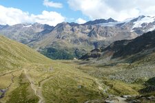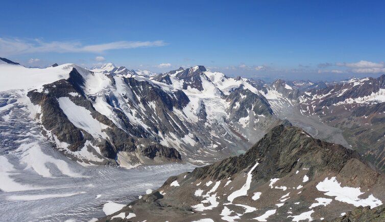
The Ortles Alps in the Val Venosta valley, an alpenstock which is 50 km long and 40 km wide and includes nearly 100 glaciers, is dominated by “King Ortles”, their highest elevation

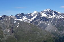
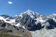
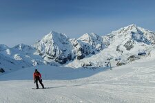
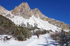
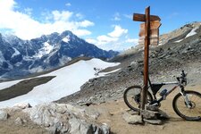
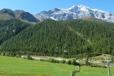
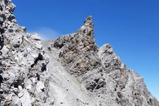
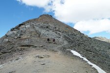
The Ortles Alps delimit the Val Venosta towards south and comprises the area from the Stelvio National Park to the Val Martello and the Val d'Ultimo in South Tyrol and the Passo del Tonale in the Trentino. The 3,905 m high Ortles is the highest peak of the mountain group, and the highest mountain of all of South Tyrol: Its three striking chines, the east, north and south chine, characterise this mountain, which, according to legends, is a giant that turned into stone.
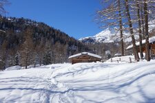
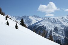
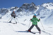
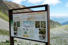
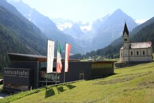
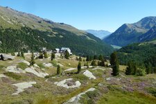
A total of about 70 mountains feature more than 3,000 m a.s.l. Other major peaks of the Ortles Alps or Gruppo Ortles-Cevedale are Mt. Gran Zebrù (3,851 m a.s.l.), Mt. Cevedale (3,778 m a.s.l.), Mt. Palòn de la Mare (3,703 m a.s.l.) and the Cima di Trafoi (3,565 m a.s.l.). In 2018, the Ortles High Route was inaugurated, stretching around the Stelvio National Park and leading in seven stages from the South Tyrolean Val Venosta valley to the Valtelline valley in Lombardy. Furthermore, two skiing areas - the one of Solda and the Trafoi Skiing Area, which are both part of the Ortler Skiarena - are located here, whereas several museums tell about this fascinating high alpine world: the Museum of the Ortles Region, the MMM Ortles and the naturatrafoi National Park House.
- Highest peak: Mt. Ortles (3,905 m a.s.l.), first ascent on September 27, 1804, by Josef Pichler
- Most significant mountains: Mt. Cevedale, Mt. Gran (Big) Zebrù, Mt. Zebrù, Mt. Palòn de la Mare, Cima di Trafoi, Thurwieser Peak
- Area: South Tyrol, Trentino, Sondrio (all of them in Italy), Grisons (Switzerland)