This challenging mountain tour impresses with breathtaking views in the Sarentino Alps
Image gallery: Mountain tour from San Martino to the Cima San Cassiano
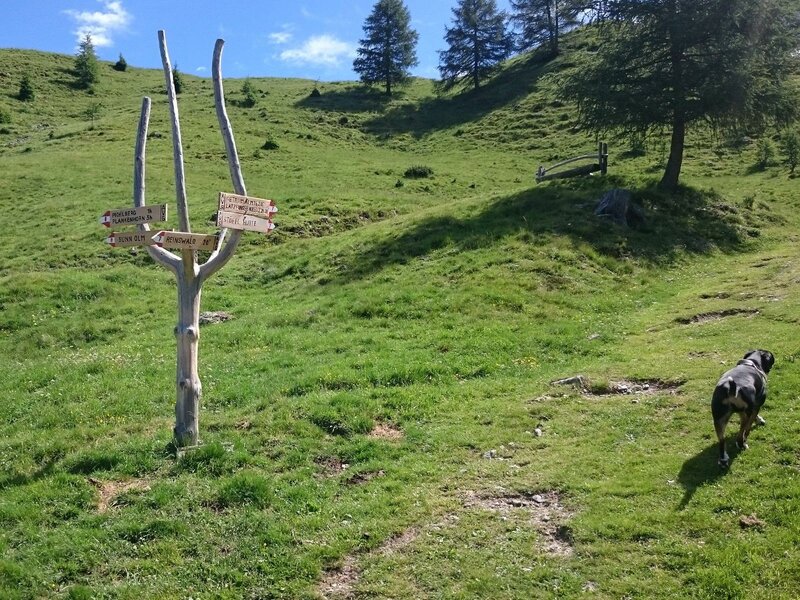
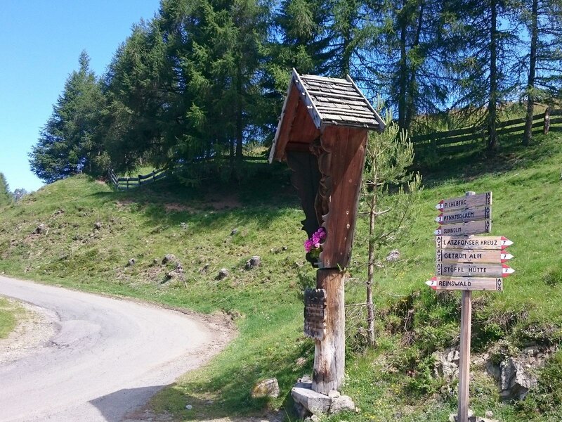
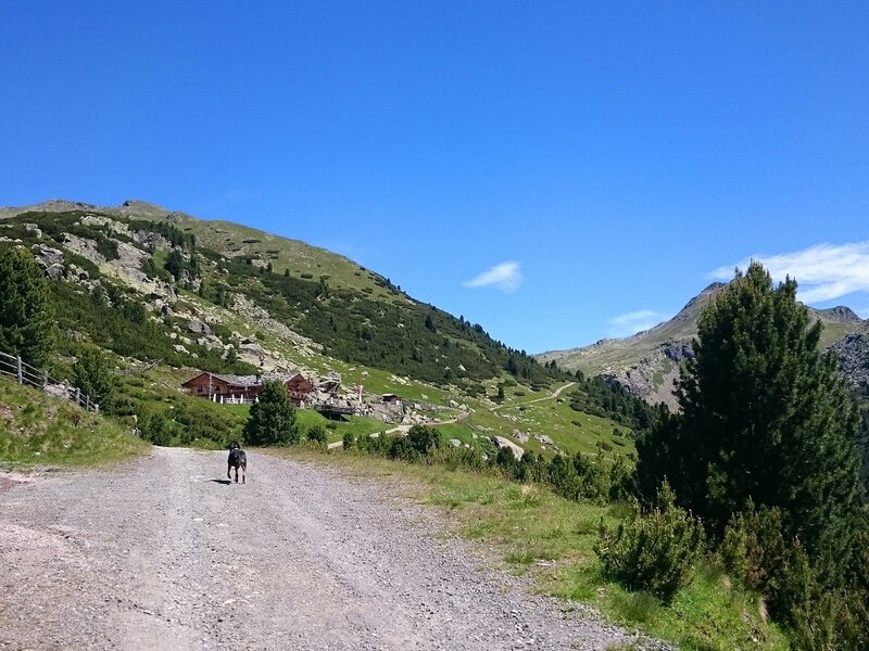
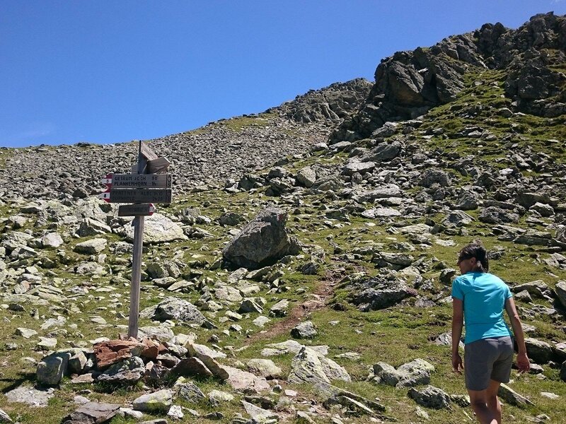
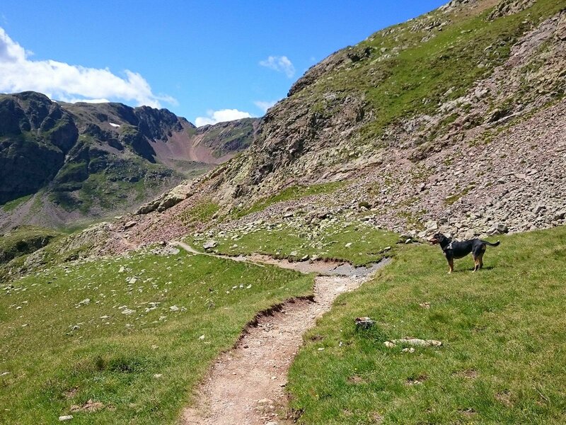
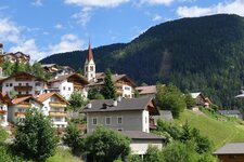
The starting point of our alpine hike is the car park at the valley station of the cable car in Reinswald or San Martino (1,570 m a.s.l.). We first hike on trail no. 7 "Plankenhorn-Getrum" via a meadow and forest path to the Getrum Hut (2,094 m). Here we are at the timberline and continue our way to the crossroads of the Lücklpass, from where we hike straight on along trail no. 8b.
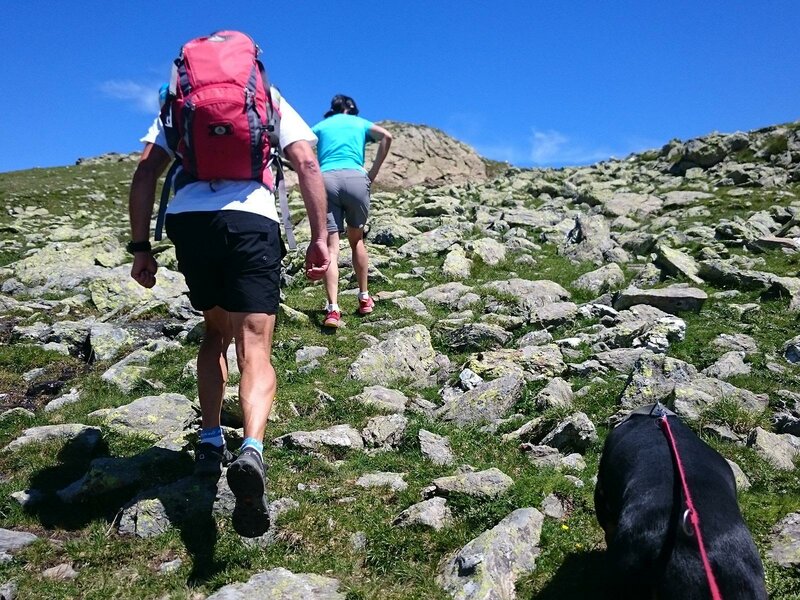
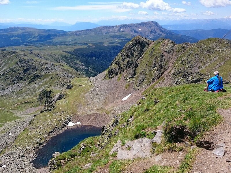
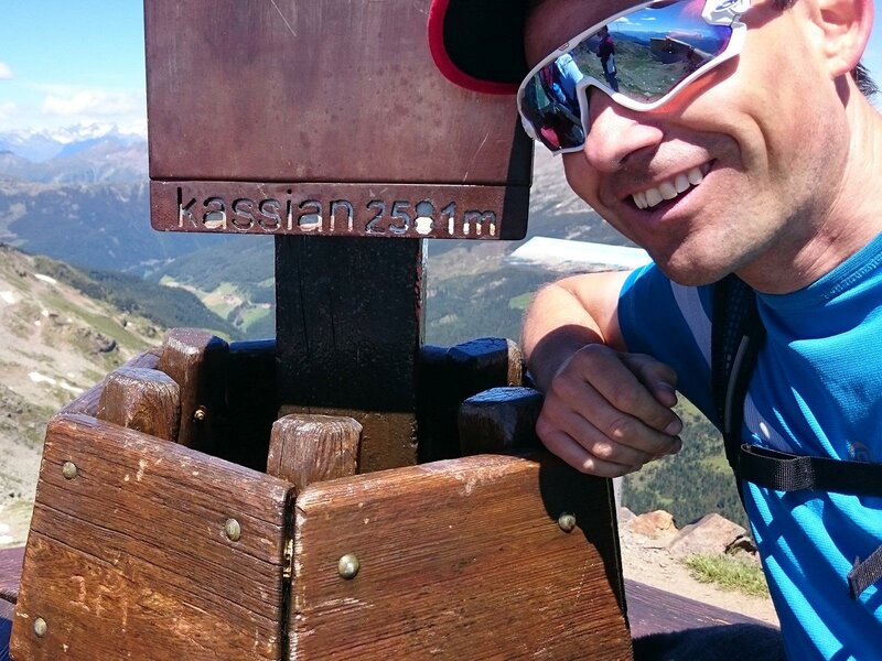
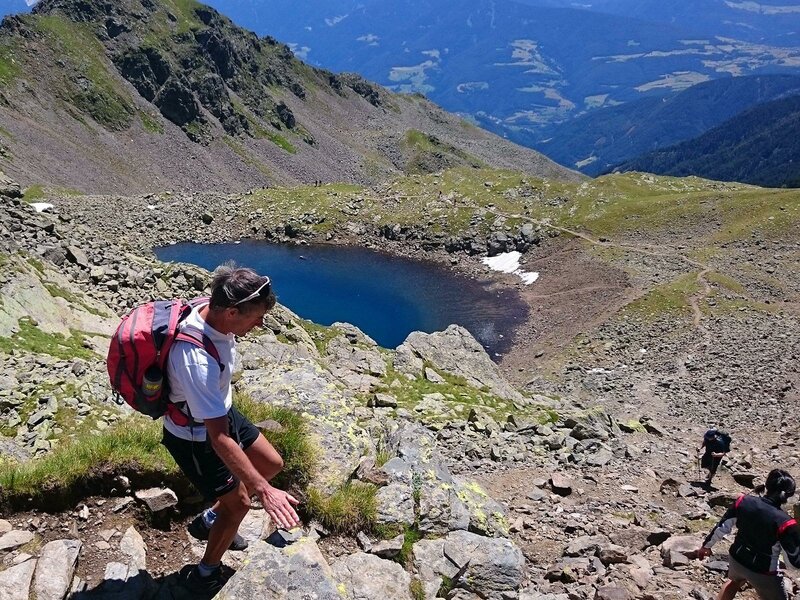
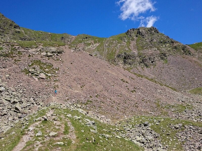
The landscape is now rockier and we turn right at the next junction onto trail no. 8 and then onto trail no. 9. Soon we reach the Cima di San Cassiano (Kassianspitze, 2,581 m). From here we enjoy a magnificent view on the surrounding peaks of the Sarentino Alps. After a short break, we start our way back on trail no. 9. We pass the beautiful San Cassiano Lake and descend to the Croce di Lazfons Hut: Here we stop for our lunch break.
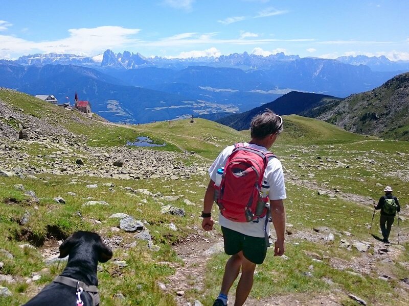
We then continue our tour on trail no. 7 to the 2,376 m high Lücklpass, which we cross and then hike downhill again to the Getrum Mountain Hut. Here we take the Urlesteig trail (no. 11), which leads us at an almost constant altitude, past the Chrust-Gepatsch mountain inn and then via the so-called Almstrasse, past the Sunnolm, back down to the starting point.
Author: AP
-
- Starting point:
- Parking Reinswald
-
- Overall time:
- 06:50 h
-
- Total route length:
- 19,5 km
-
- Altitude:
- from 1.570 m to 2.580 m
-
- Altitude difference:
- +1190 m | -1190 m
-
- Route:
- Getrum Hut, San Cassiano Peak, San Cassiano Lake, Croce di Lazfons
-
- Signposts:
- 7, 8B, 8, 9, 7, Urlesteig 11
-
- Destination:
- San Cassiano Peak
-
- Resting points:
- Croce di Lazfons Hut
-
- Track surface:
- dirt road
-
- Recommended time of year:
- Jan Feb Mar Apr May Jun Jul Aug Sep Oct Nov Dec
-
- Download GPX track:
- Mountain tour from San Martino to the Cima San Cassiano
If you want to do this tour, we suggest you to check the weather and trail conditions in advance and on site before setting out.