From Riobianco in the Val di Pennes valley we hike on the forest path through the Valle di Sottomonte to the Ebenbergalm Mountain Hut at almost 1,780 m a.s.l
Image gallery: Hike from Riobianco to the Malga Ebenberg
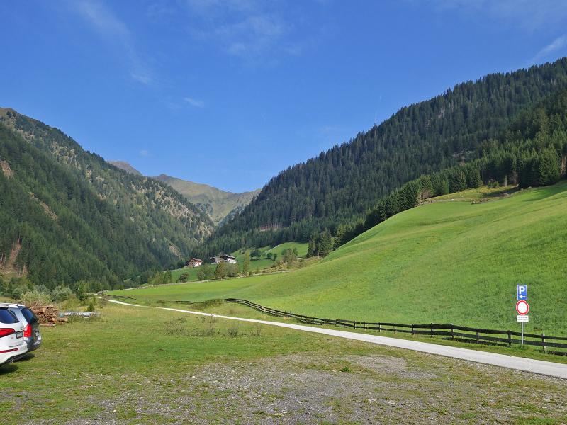
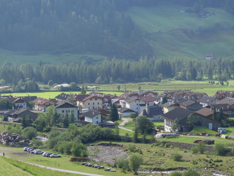
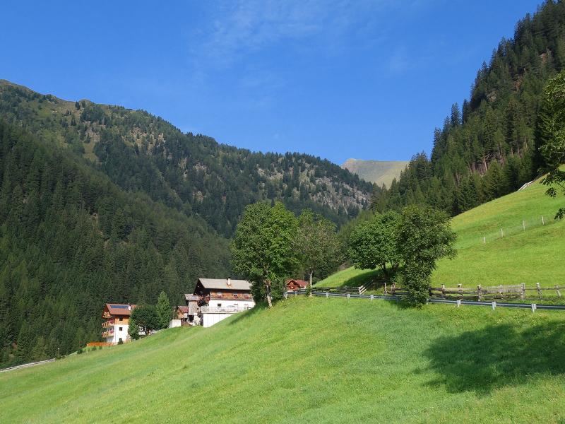
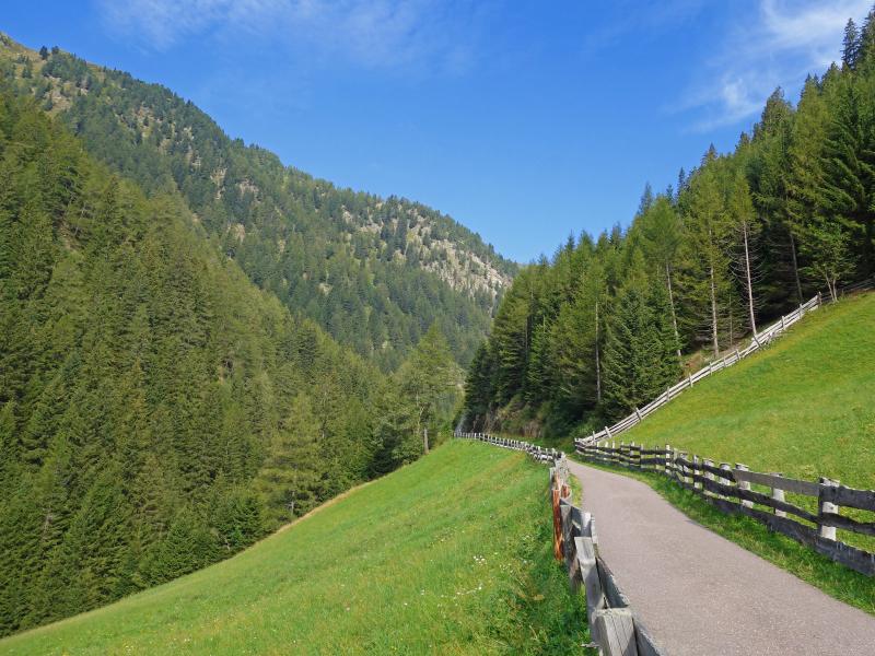
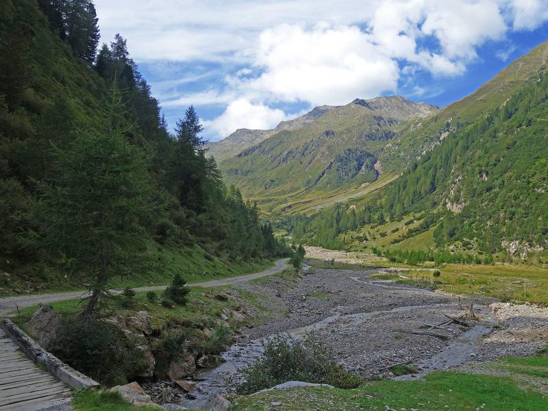
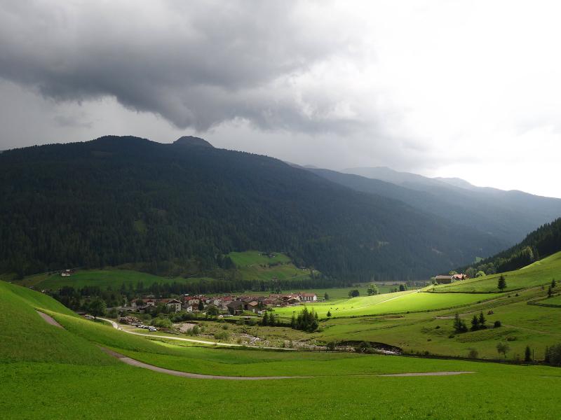
Starting point of our hike through the Valle di Sottomonte valley (Unterbergtal) is located north of the village of Riobianco in the Val di Pennes valley (Val Sarentino). After the bridge over the stream, a small road branches off to the left (towards west), 100 m further there is a parking space. Here our hike starts. First we follow the asphalt road to the Wink Farms.
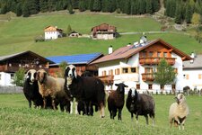
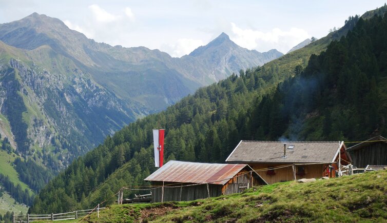
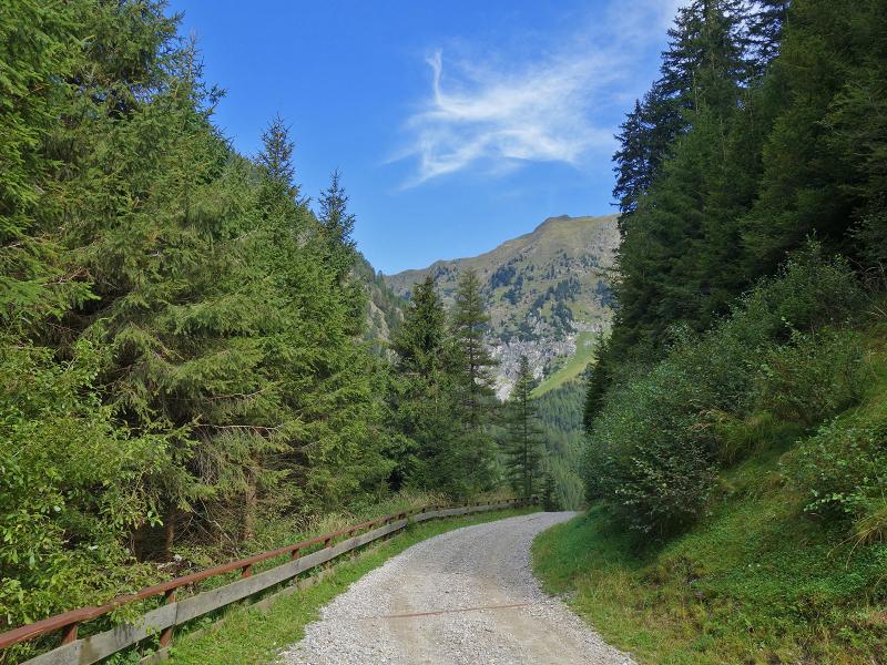
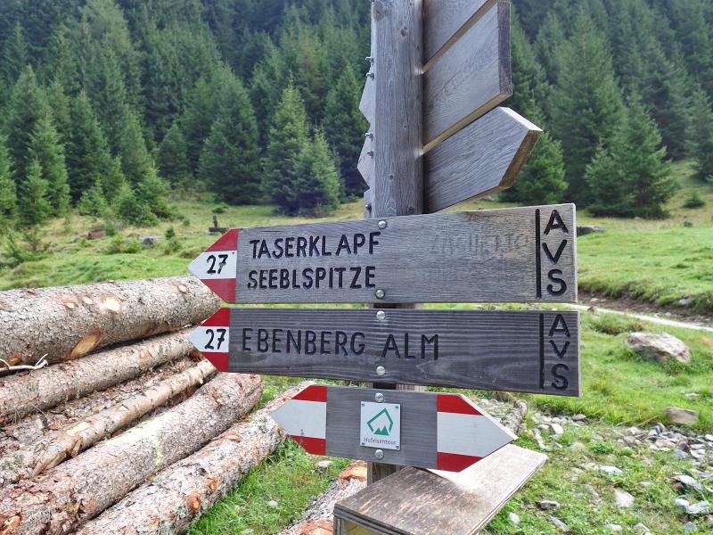
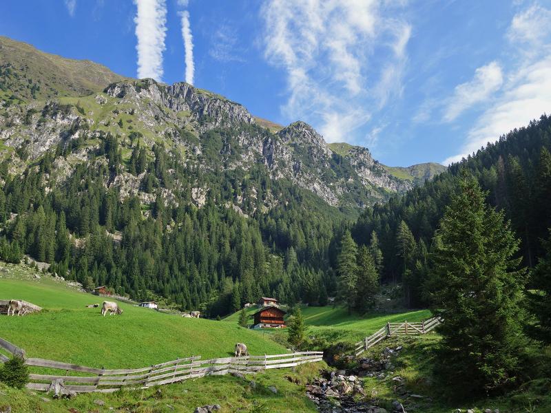
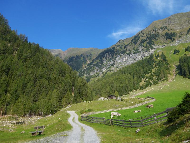
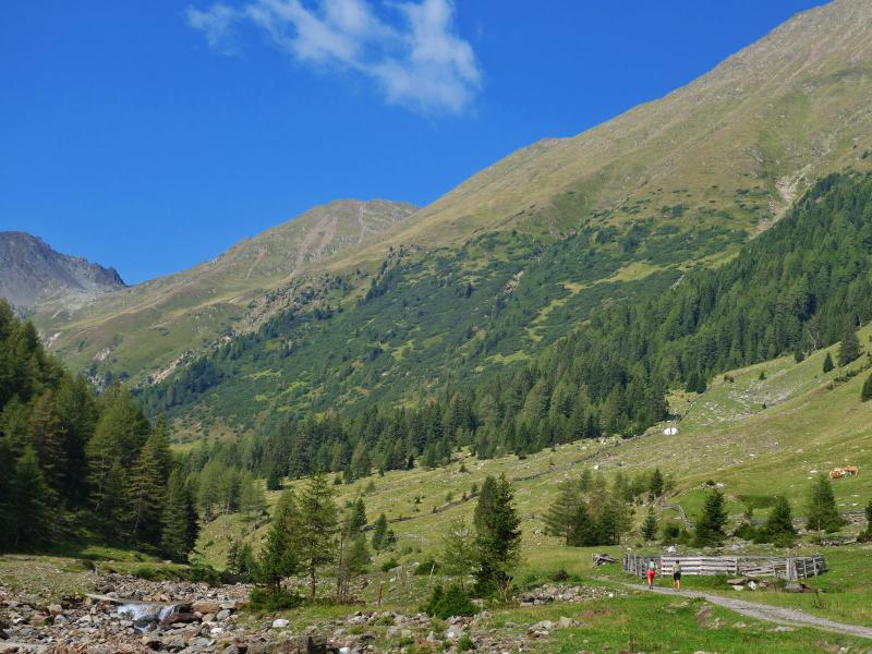
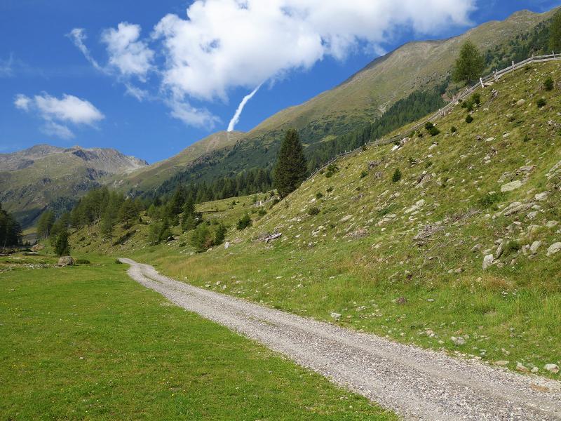
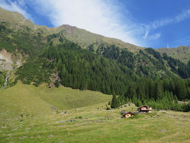
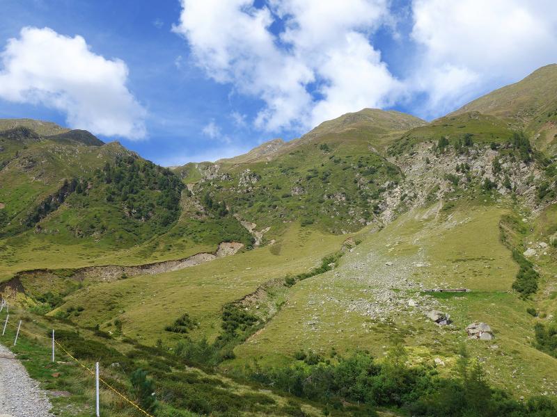
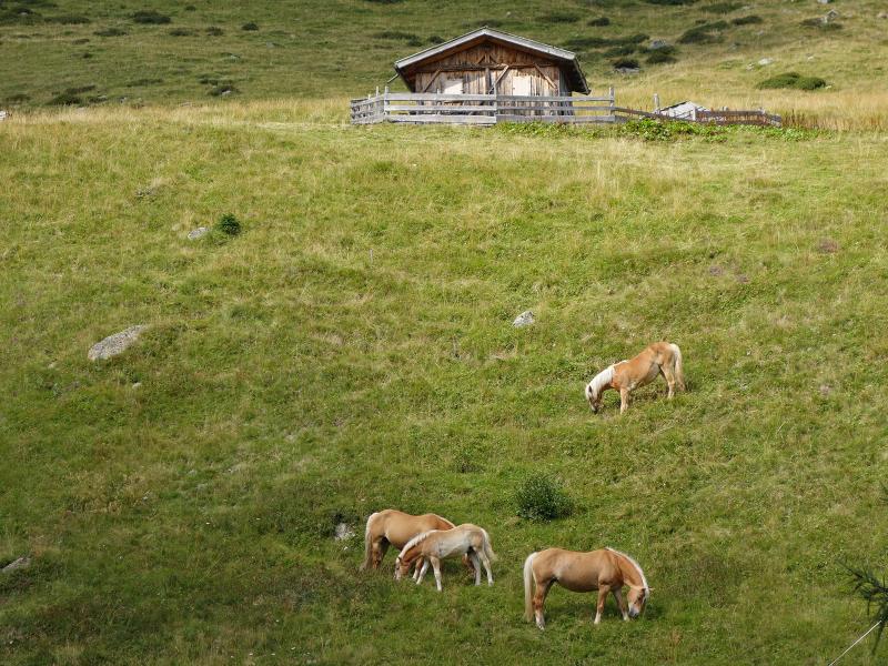
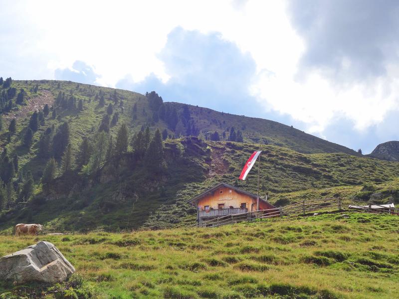
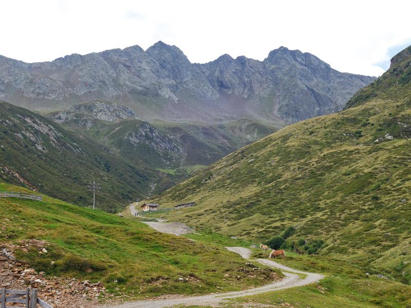
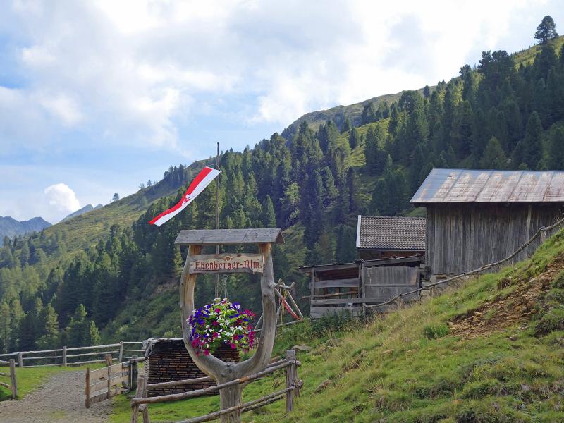
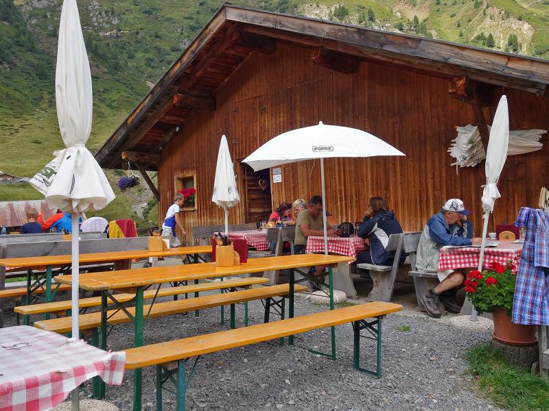
As a gravel road, the path continues through a narrow valley section to the Rosellalm, where the valley splits: right into the Oberbergtal valley, left into the Unterbergtal valley. We follow the marker 27 towards the Ebenbergalm Mountain Hut. On the shore of the Riobianco stream we walk steadily uphill, first a little steeper, then gentler. To the right there are several huts, behind them the peaks of the western ridge of the Alpi Sarentine are visible: Monte di Sotto, Guardia Alta, Monte delle Pecore and Cima dell’Alpetta. At about 1,780 m a.s.l. the Ebenbergalm Mountain Hut is located, the only place to stop for refreshments in the valley.
Contrary to the lower huts, it is located on the eastern side of the valley. We recommend to enjoy your lunch here and to take a nice break. If you want to explore the landscape further, you can hike on the path no. 27 further into the valley to the Alpler Alm at 2,100 m a.s.l. For our way back we take the same route.
Author: AT
-
- Starting point:
- parking space near Riobianco (Val Sarentino valley)
-
- Overall time:
- 03:00 h
-
- Total route length:
- 10,5 km
-
- Altitude:
- from 1.348 m to 1.781 m
-
- Altitude difference:
- +443 m | -443 m
-
- Signposts:
- no. 27, Ebenberger Alm
-
- Destination:
- Ebenberger Alm
-
- Resting points:
- Ebenberger Alm
-
- Recommended time of year:
- Jan Feb Mar Apr May Jun Jul Aug Sep Oct Nov Dec
-
- Download GPX track:
- Hike from Riobianco to the Malga Ebenberg
If you want to do this hike, we suggest you to check the weather and trail conditions in advance and on site before setting out.