A 4-hour hike with a stunning view on the Val Sarentino valley and the Dolomites starts slightly above Sarentino, the main village of the eponymous valley
Image gallery: Hike from Sarentino to the Forcella Sarentina
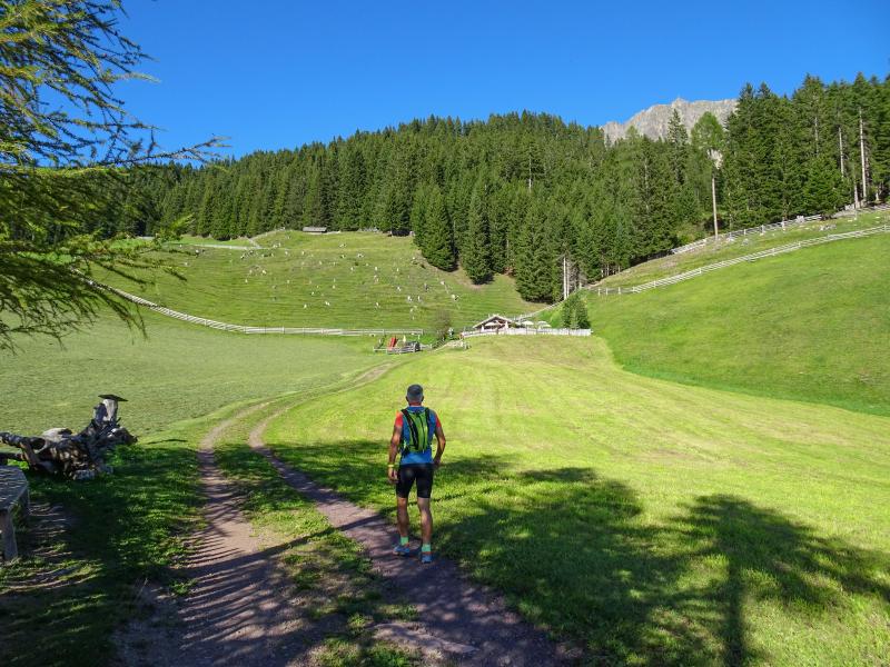
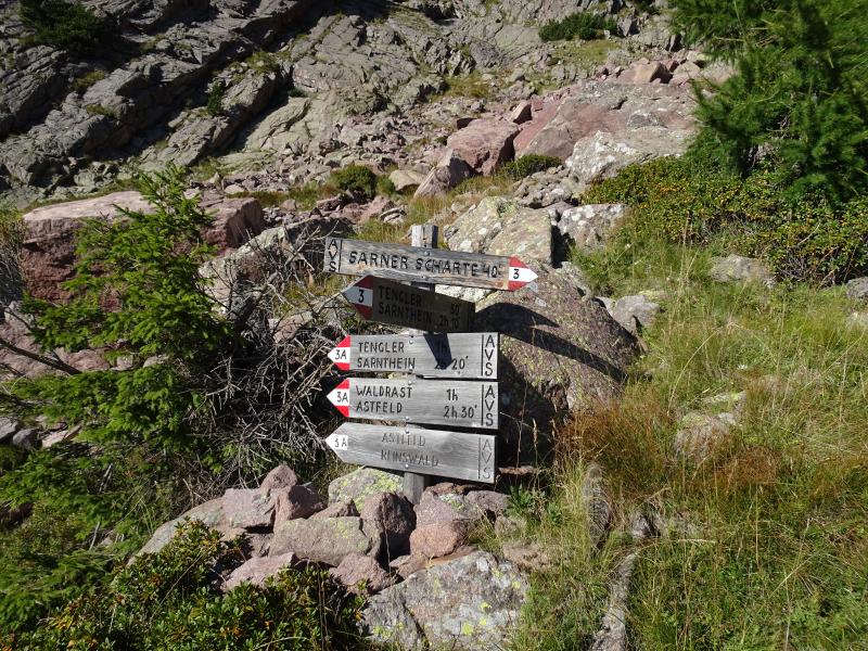
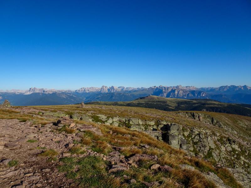
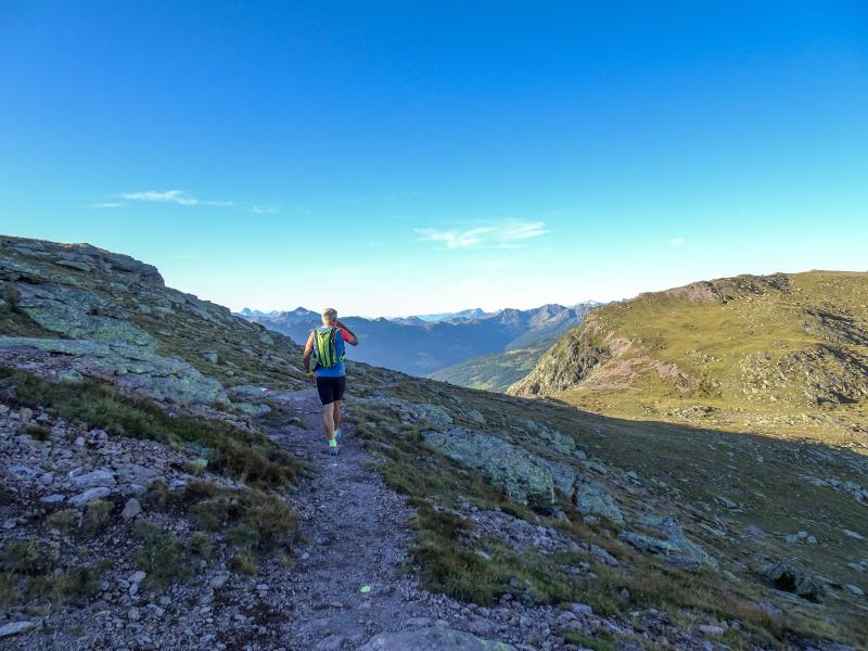
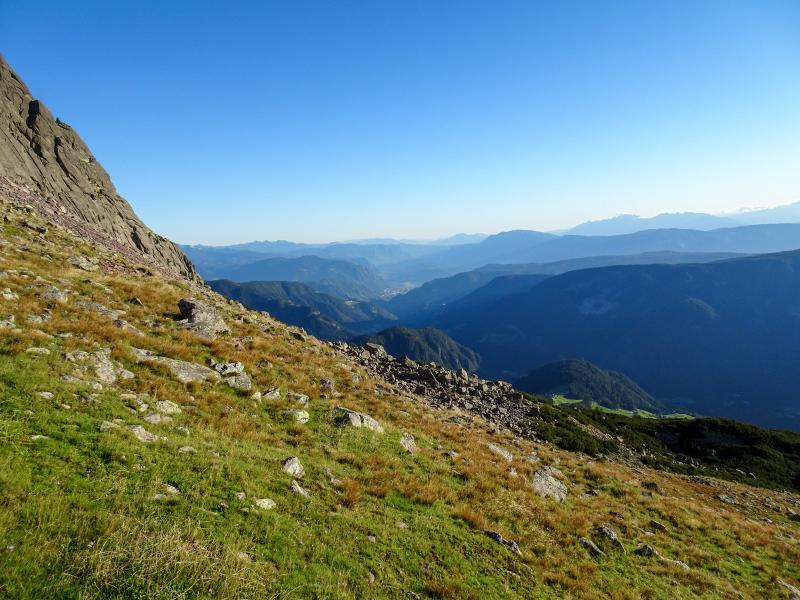
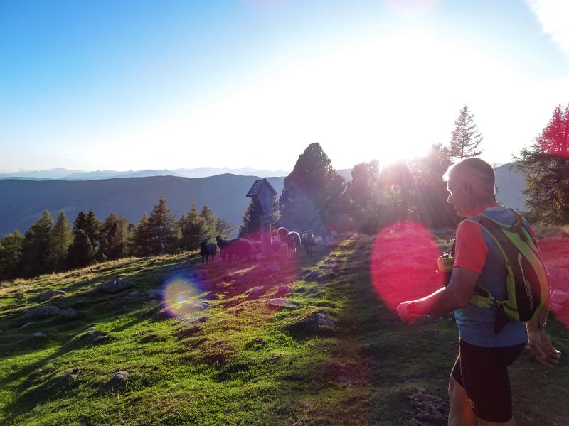
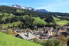
Our outdoor experience on this beautiful late summer day leads us into the Val Sarentino valley near the town of Bolzano. In the valley, more precisely above the main village Sarentino (Sarnthein, in German), there's our starting point, the Riedelsberg parking space at 1,500 m a.s.l. A pleasant path leads us first towards the Almschank Tengler rest point (no. 3) and follows afterwards an uphill forest path towards east. Our trail takes us into the woods to the first fork (Forcella Sarentina wind gap to the right on path no. 3, wind gap via Bronleit to the left on path no. 3a). We choose the first alternative and continue our hike on path no. 3.
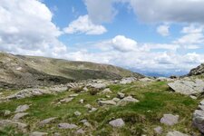
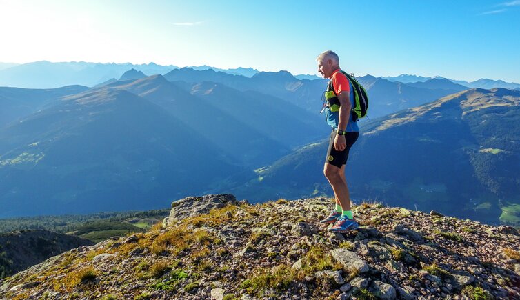
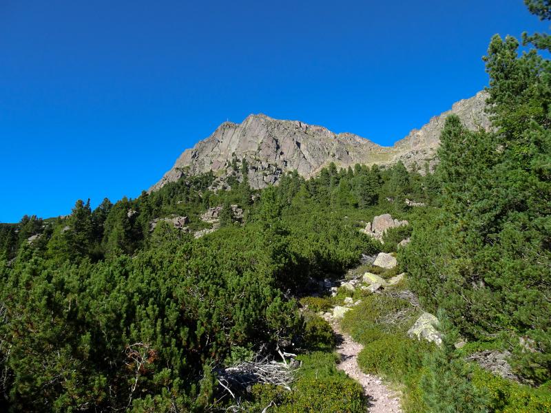
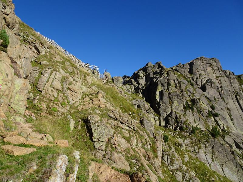
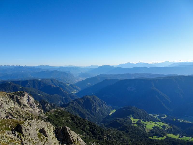
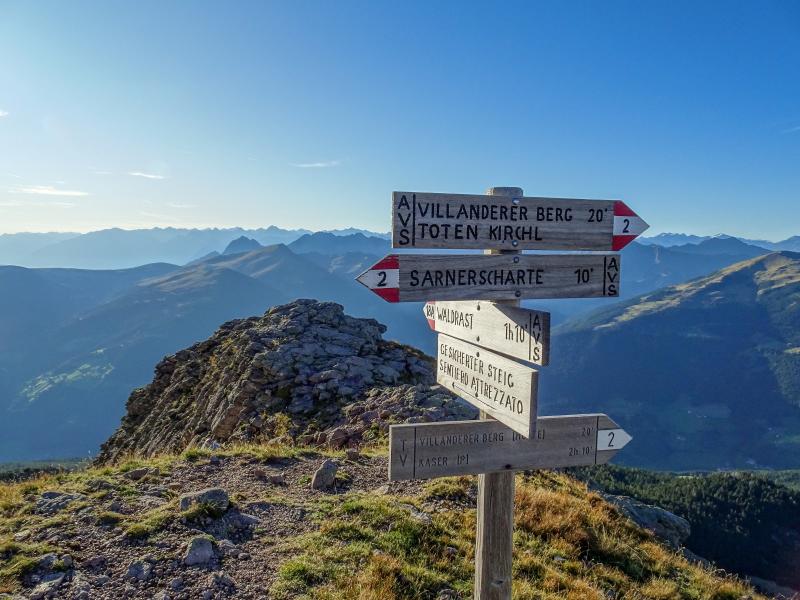
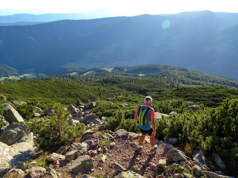
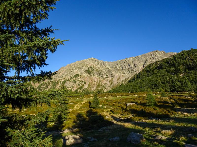
Our tour gets steeper - the last kilometre leads us in a constant zigzag towards the Forcella Sarentina wind gap (Sarner Scharte, in German). It is, by the way, a massif with rather flat rock needles which can be seen from the valley as well. Soon afterwards we reach the bivouac at the so-called "Schartl" and follow the trail no. 2 on the left. Only about 15 minutes are left until reaching the summit cross at 2,458 m a.s.l. When we finally reach the top, a breathtaking panoramic view rewards for all the efforts - it includes Mt. Corno del Renon, the Val Sarentino valley with its Pennes Pass, the Dolomites and other peaks. Unforgettable!
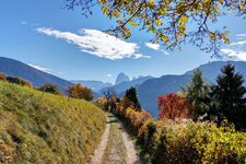
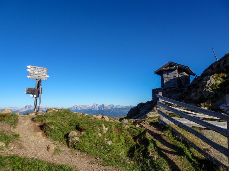
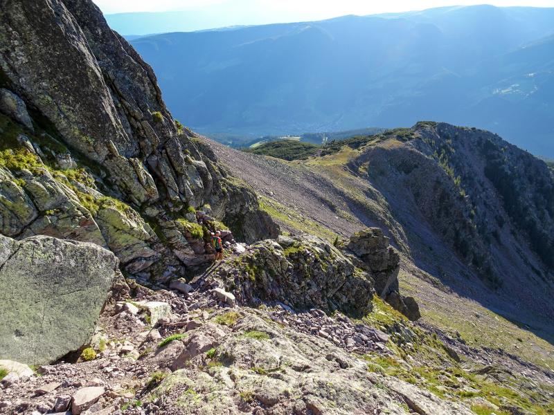
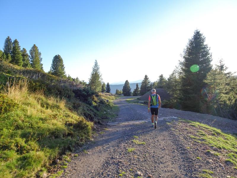
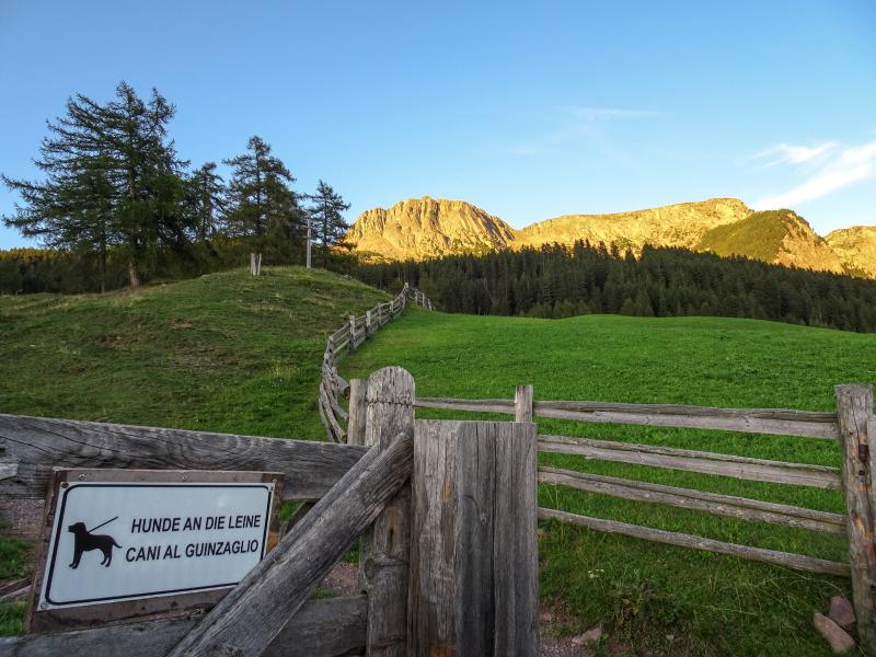
Now the trail proceeds for about 500 metres towards north where the descent begins. The path no. 18a towards Waldrast is secured with ropes. We stop every now and then to enjoy the gorgeous panorama in the evening sun. The first 200 metres are quite steep and difficult, then the path gets flatter and proceeds to a meadow. The last section is a 3 km long forest trail which leads us to an asphalt road just 100 metres from our parking space. Sure-footedness and a head for heights are essential, although some trails - e.g. no. 18a - are secured with ropes!
Author: AP
-
- Starting point:
- Riedelsberg parking space above the village of Sarentino
-
- Overall time:
- 04:00 h
-
- Total route length:
- 11,1 km
-
- Altitude:
- from 1.494 m to 2.458 m
-
- Altitude difference:
- +971 m | -971 m
-
- Signposts:
- no. 3, 2, 18a
-
- Destination:
- Forcella Sarentina / Sarner Scharte
-
- Resting points:
- Almschank Tengler (1,615 m a.s.l.), Almschank Waldrast (1,755 m a.s.l.)
-
- Recommended time of year:
- Jan Feb Mar Apr May Jun Jul Aug Sep Oct Nov Dec
-
- Download GPX track:
- Hike from Sarentino to the Forcella Sarentina
If you want to do this tour, we suggest you to check the weather and trail conditions in advance and on site before setting out.