The more than 2,000 m high Passo di Pennes mountain pass with its hiking possibilities is an ideal destination on hot summer days
Image gallery: Hike from the Pennes Pass to the “Gänsekragen”
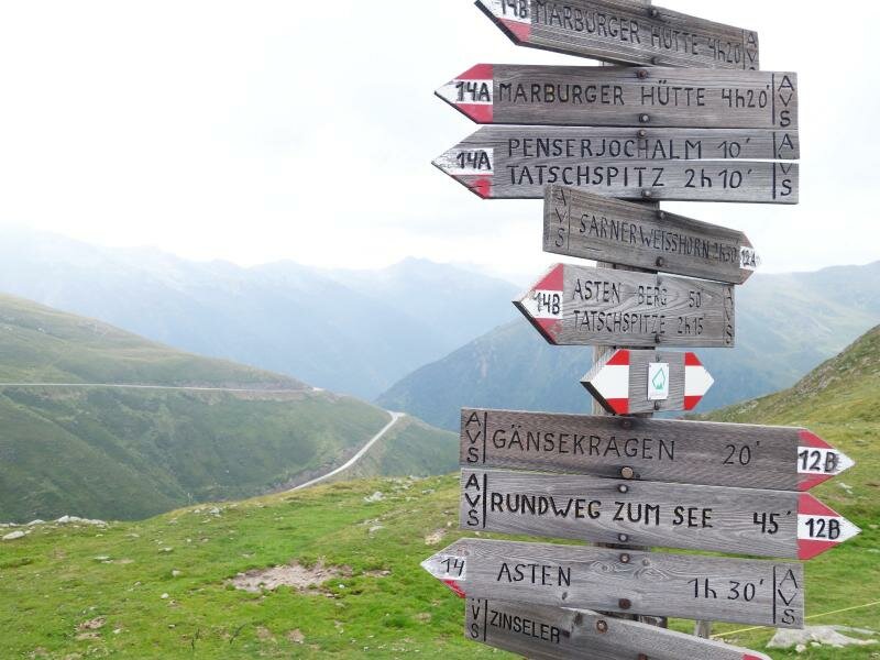
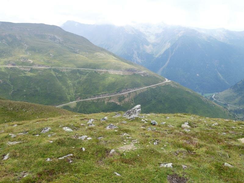

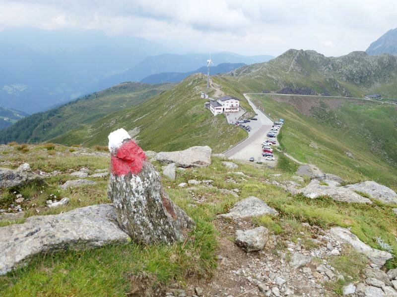
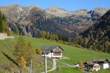
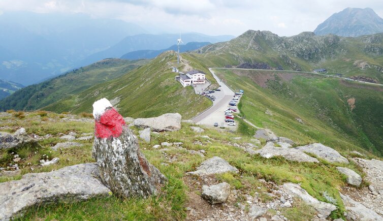
The Pennes Pass (Penser Joch, in German, 2,211 m a.s.l.) connects the Val Sarentino valley to the Upper Valle Isarco and forms the border between Sarentino, the largest South Tyrolean municipality according to area, and Campo di Trens. It represents a popular destination for cyclists, motorcyclists, convertible drivers and all those who want to escape the summer heat in the valley. The mountain pass is 50 km from South Tyrol's main town, Bolzano. The drive up is idyllic: It leads from the pristine valley further up, where the meadows turn into alpine pastures and the air is getting remarkably cooler. We start our circular hike from the parking space at the top of the pass and follow the path no. 12A (12B for the opposite direction).
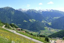
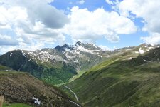
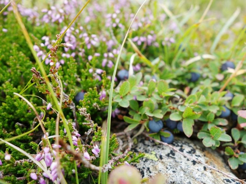
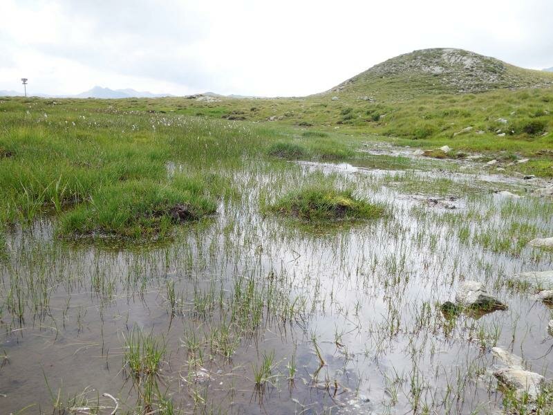
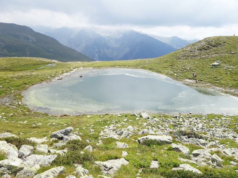
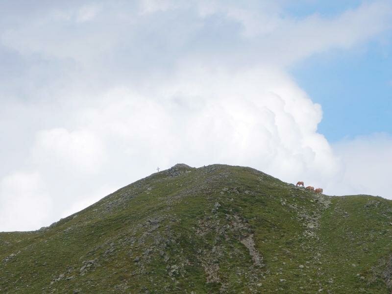
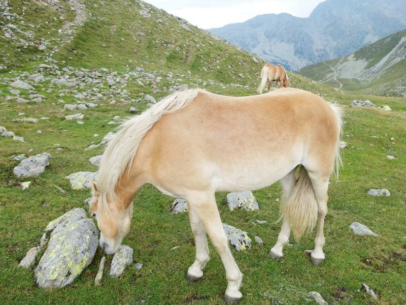
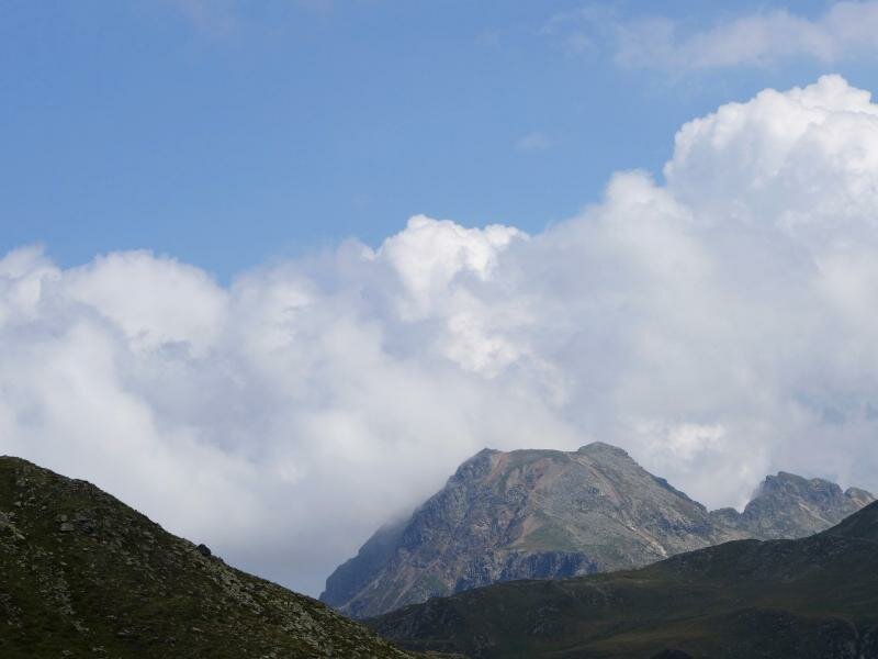
The trail leads us into the mountains, past blueberries and alpine flowers. The view on the surrounding peaks and the winding pass road is stunning. After 15 minutes we reach the small Lake Passo di Pennes (Jochsee, 2,220 m a.s.l.) and enjoy a picnic in the sun on the waterfront. Afterwards we continue on a small trail leading up the hill... and hear a sound - it's the whistle of a marmot. Now the trail turns right towards the pass height. A small path follows the ridge uphill, leading past grazing Haflinger horses until the highest point of the "Gänsekragen", how the hill towering above the Pennes Pass is called. This point at 2,322 m a.s.l. is marked by a summit cross and the so-called "Stoanerne Mandln" (Rocky Men). Now we see the downhill path right in front of us, which leads us back to the parking space past some former concreted gun positions.
The circular walk has taken us about an hour - with picnic and various stops we've spent some pleasant hours on the Passo di Pennes mountain pass. If you'd like to make a further stop, you can do so at the Alpenrose mountain inn right across the street. The highest point of the "Gänsekragen" hill offers a stunning view on the surrounding peaks, on the Val Sarentino and the Upper Valle Isarco. If you want to extend your hike, you may continue to Mt. Corno Bianco (2.5 hours), to the Rif. Forcella Vallaga mountain hut (4.5 hours) or to Laste in the Val Sarentino valley (1.5 hours). Please respect nature and environment: take your litter home with you, don't pick flowers, don't approach grazing horses and don't shout or make unnecessary noises, so that the marmots don't feel disturbed. Nature will be grateful to you!
Author: MS
-
- Starting point:
- Pennes Pass, accessible via the Val Sarentino or the Upper Valle Isarco
-
- Overall time:
- 01:00 h
-
- Total route length:
- 2,1 km
-
- Altitude:
- from 2.196 m to 2.321 m
-
- Altitude difference:
- +125 m | -125 m
-
- Signposts:
- no. 12A (or 12B), "Gänsekragen", "Rundweg zum See"
-
- Recommended time of year:
- Jan Feb Mar Apr May Jun Jul Aug Sep Oct Nov Dec
-
- Download GPX track:
- Hike from the Pennes Pass to the “Gänsekragen”
If you want to do this tour, we suggest you to check the weather and trail conditions in advance and on site before setting out.