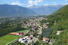
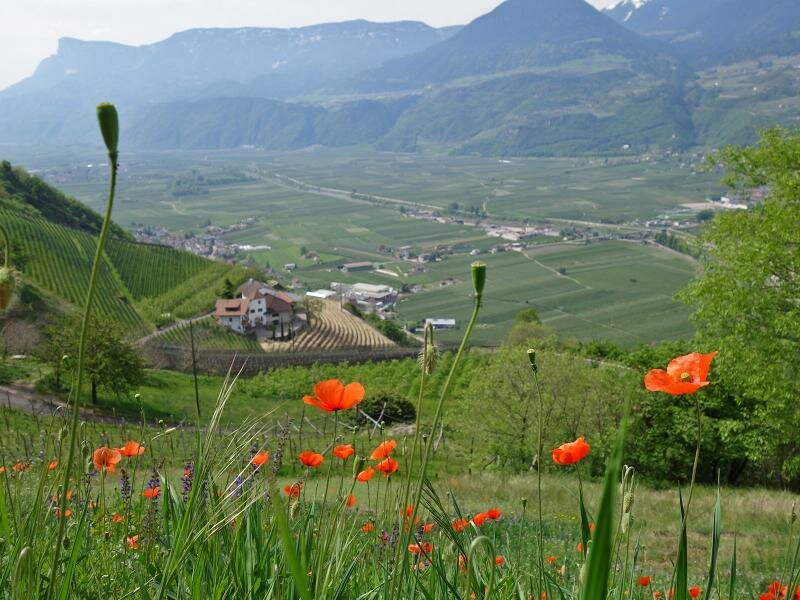
On the slope above the Valle dell’Adige valley, south of Merano, the mountain farms of Postal are located, which we visit on this circular hike along old cart tracks and forest paths
Image gallery: Circular hike on the Postal Farm Trail
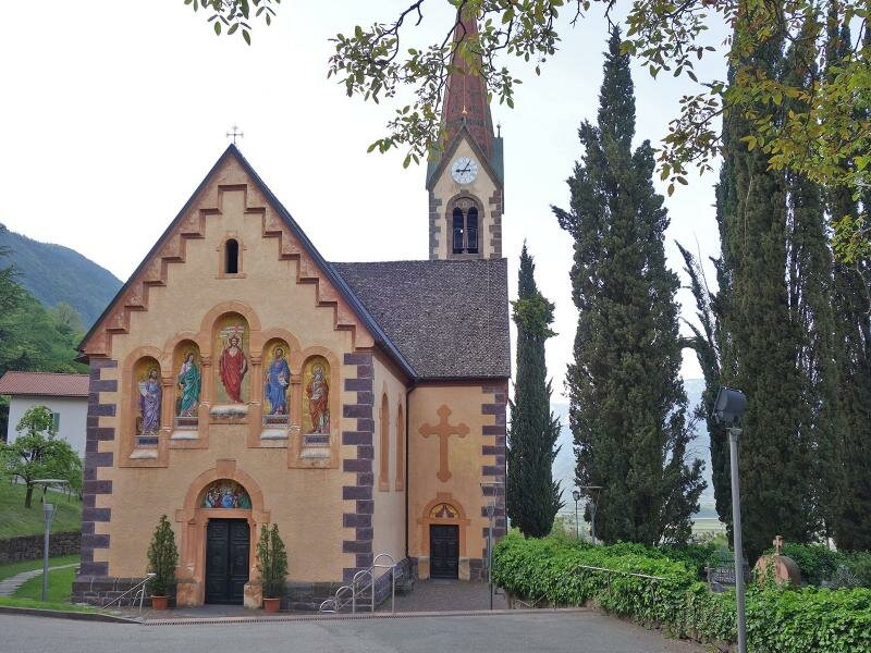
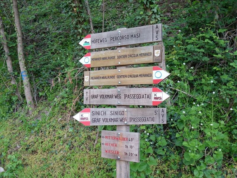
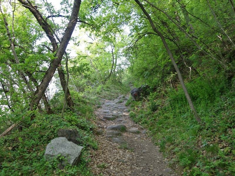
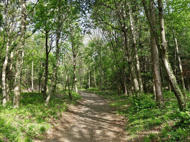
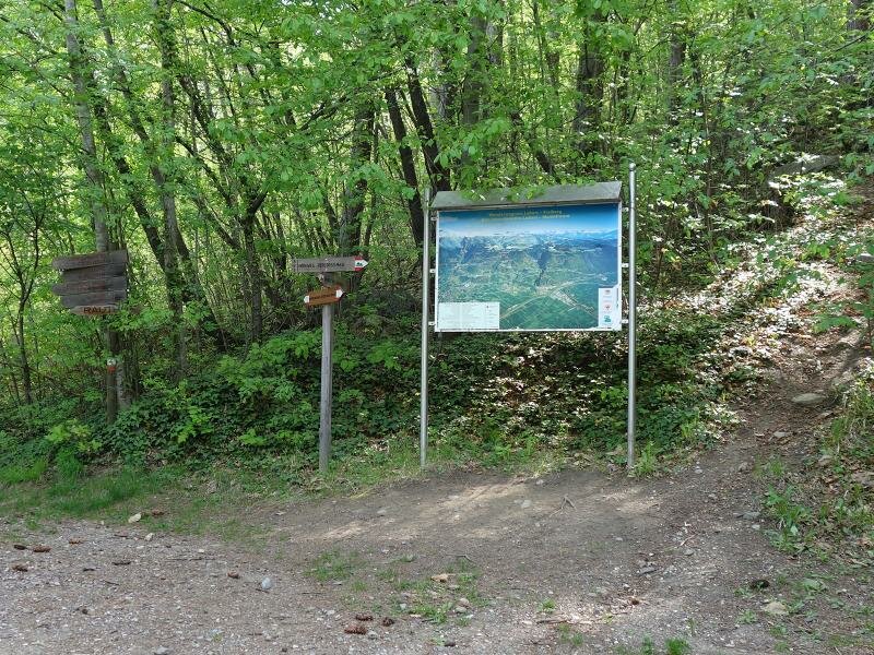
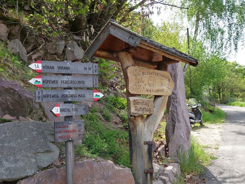
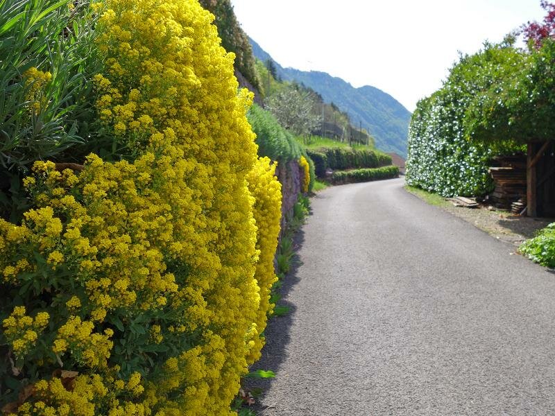
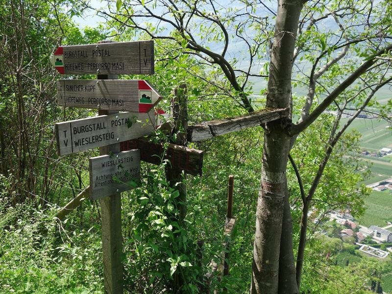
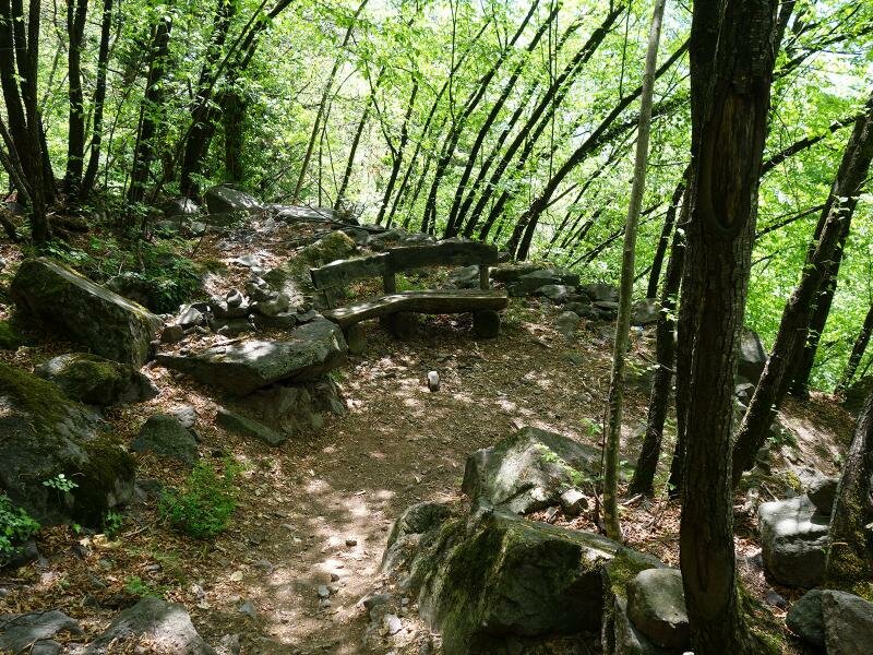
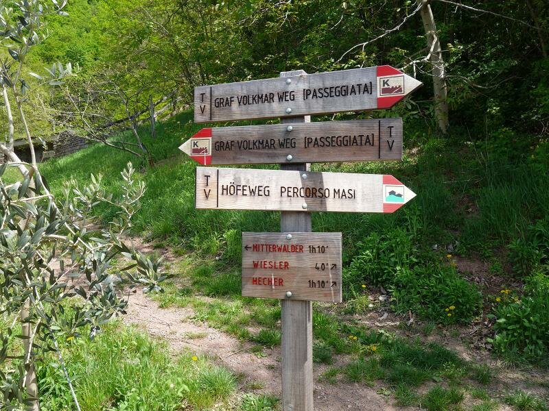
We have chosen the church hill of Postal (Burgstall) as the starting point for our circular hike. From here we first follow the Graf Volkmar Path towards north, which winds along the hillside near the valley. After about 1 km, at the level of the Förstlerhof farm, the Postal Farm Trail (Burgstaller Höfeweg) branches off to the right. As a stony path, it leads steeply up through the deciduous forest. 200 m in altitude further up it joins a forest path that leads to the Mitterwalder inn.
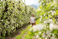
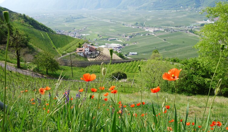
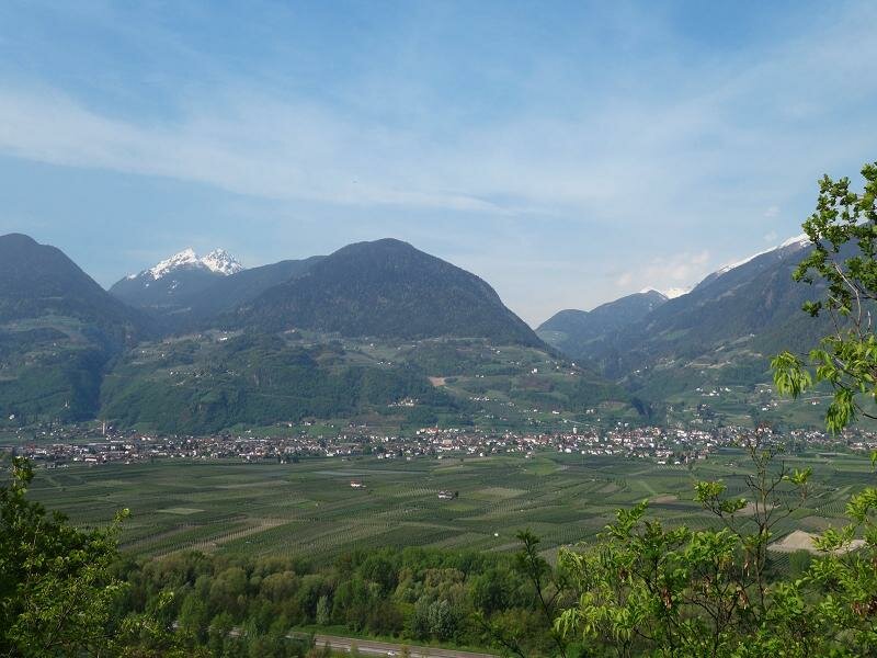
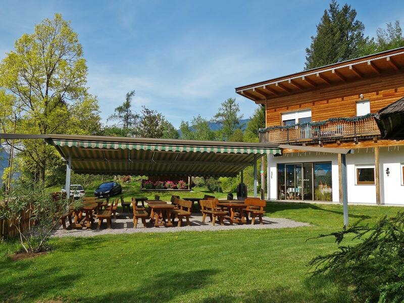
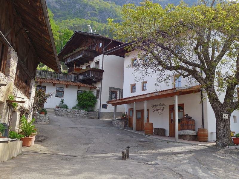
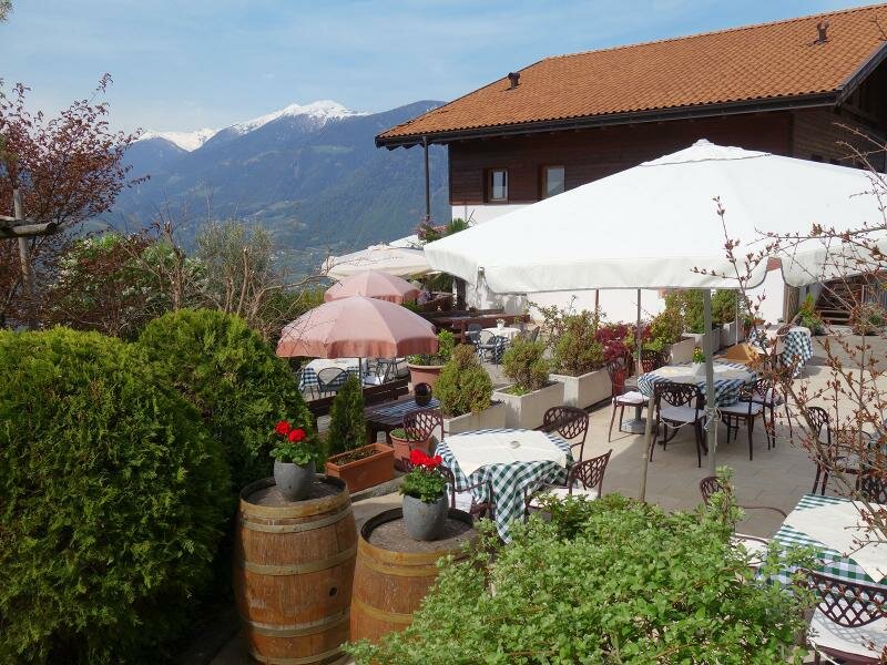
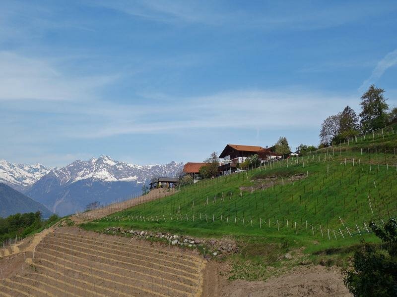
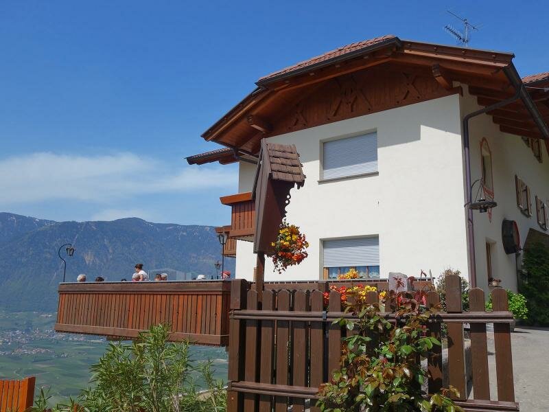
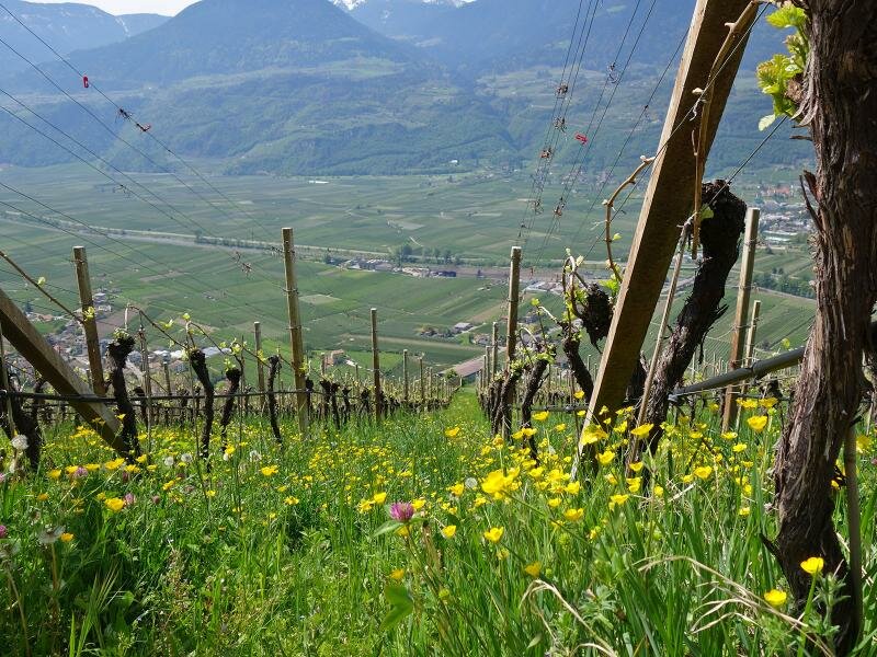
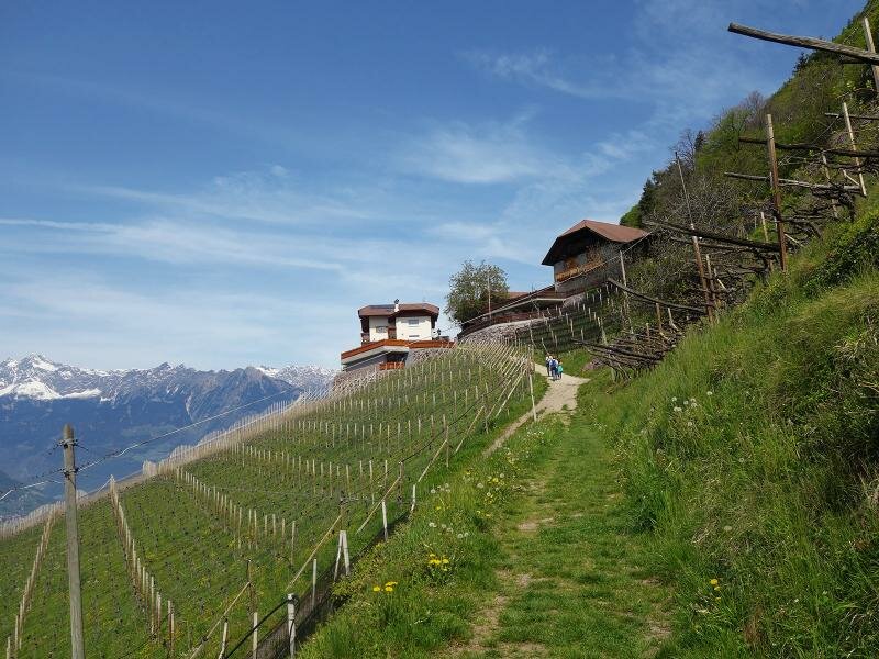
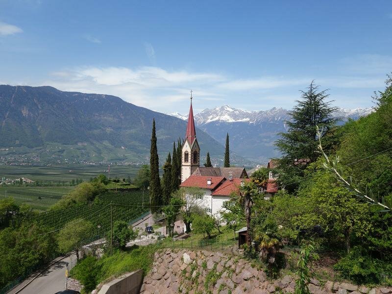
About 100 m of altitude difference are still missing up to the highest point of the tour, and this next section we walk on the asphalted mountain road, which connects the farms with each other. Like this we come to the Hecherhof Törggele tavern and, between meadows, orchards, the chestnut groves of the tree nursery and vineyards, to the Koflerhof farm and finally to the Wiesler-Hof, the last rest point on our circular hike. Again and again we enjoy beautiful views on Lana and the mountains of the Val d'Ultimo valley.
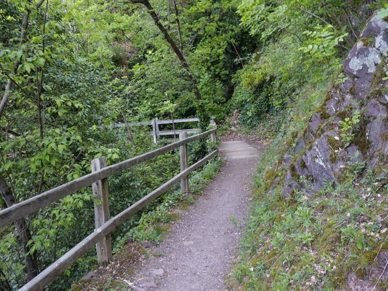
At the end the descent follows a forest path south of Postal. Carefully we walk over the slippery stones down into the valley, and so we get back to our starting point again. Due to the low altitude we recommend not to choose too warm days for this hike - ideal is spring or the Törggele season.
Author: AT
-
- Starting point:
- Postal (parish church)
-
- Overall time:
- 02:40 h
-
- Total route length:
- 7,6 km
-
- Altitude:
- from 288 m to 626 m
-
- Altitude difference:
- +382 m | -382 m
-
- Signposts:
- path K, Höfeweg / Percorso masi (Farm Trail)
-
- Resting points:
- Mitterwalder snack bar - Heacher-Hof farm - Wiesler-Hof farm
-
- Recommended time of year:
- Jan Feb Mar Apr May Jun Jul Aug Sep Oct Nov Dec
-
- Download GPX track:
- Circular hike on the Postal Farm Trail
If you want to do this hike, we suggest you to check the weather and trail conditions in advance and on site before setting out.