The Tisner Gall is a 1,630 m high hill between Mt. Luco and the terrace of Tesimo and Prissiano: Our tour leads us around the mountain
Image gallery: Tisner Gall circular walk
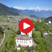
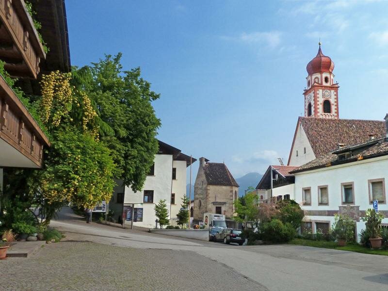
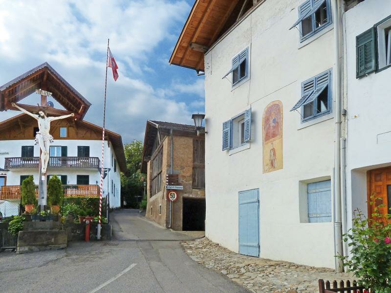
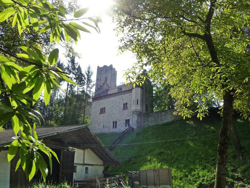
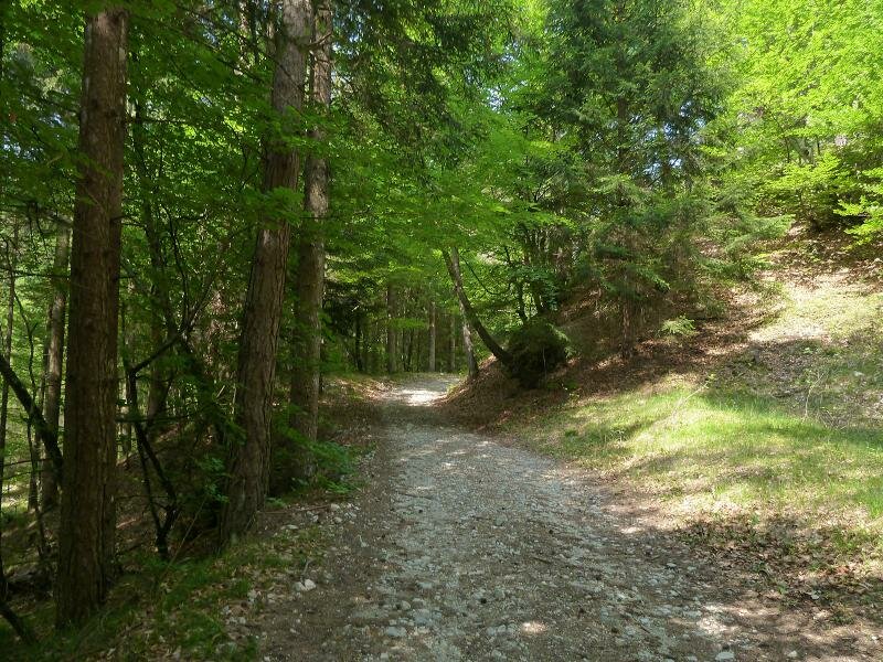
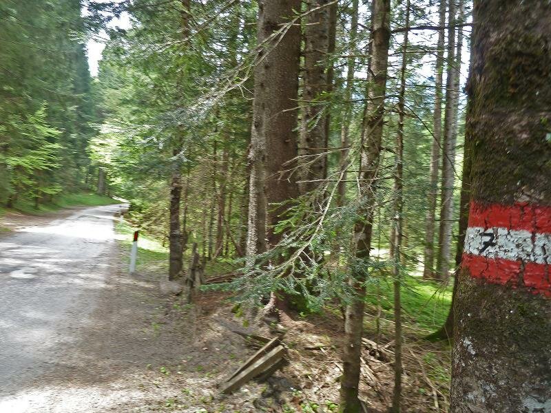
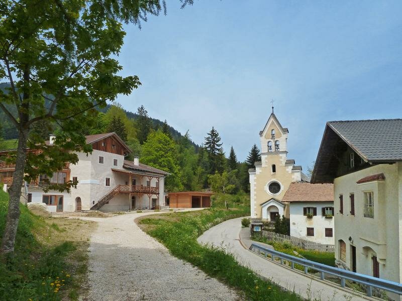
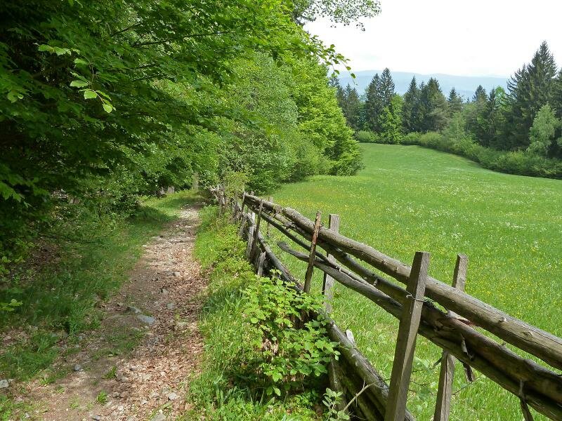
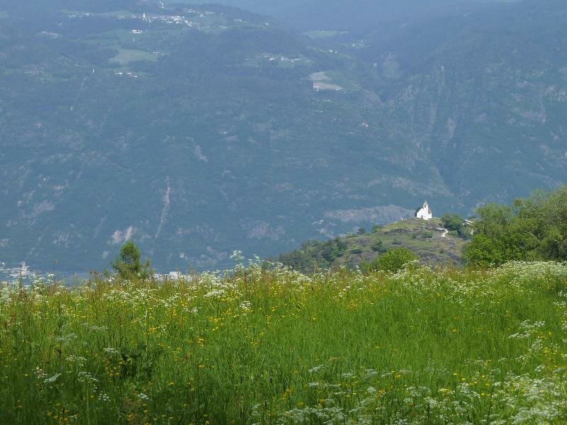
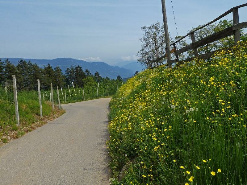
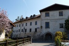
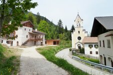
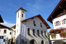
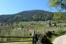
Our starting point is the village centre of Tesimo (Tisens) where we proceed along the road towards south and turn off right into the upper meadow path (marker no. 13). We walk through fruit orchards and meadows along the edge of the wood until the Zwingenberg Castle. Here the small asphalt road ends and along a forest path we carry on towards Caprile (Gfrill) and past the S. Nicolo church where we cross the road to the Passo delle Palade.
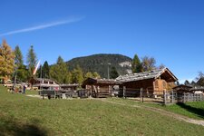
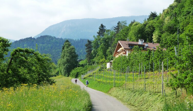
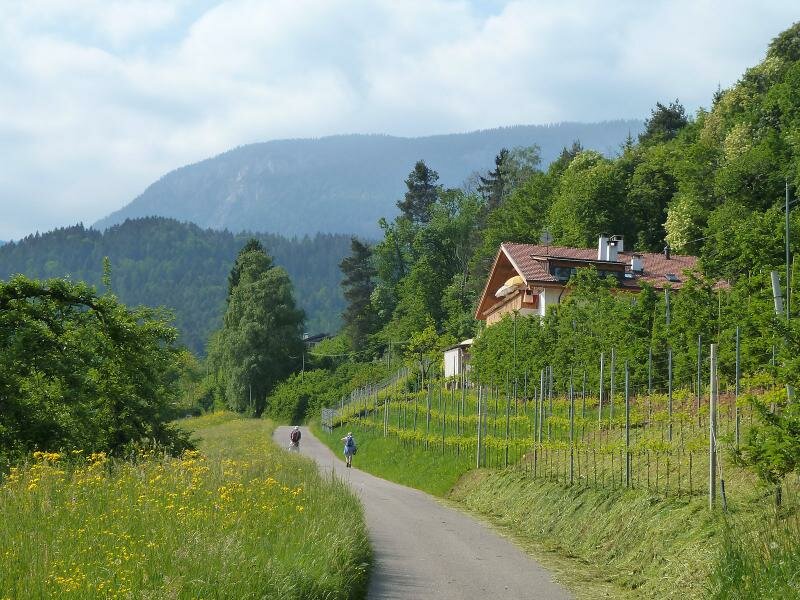
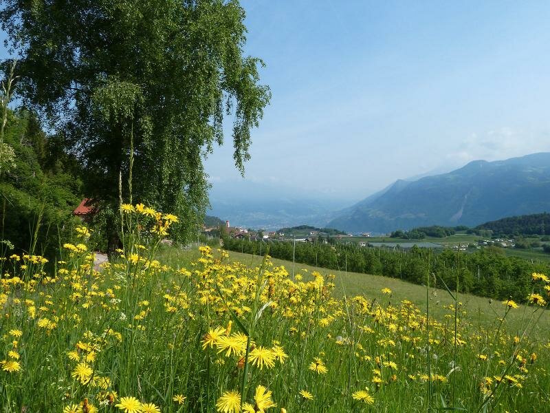
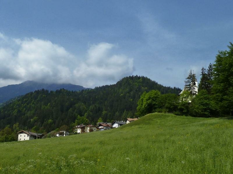
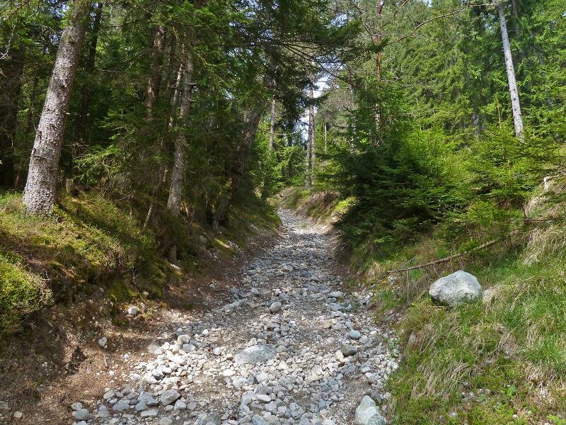
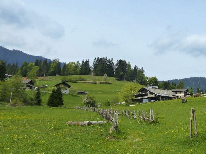
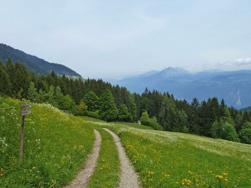
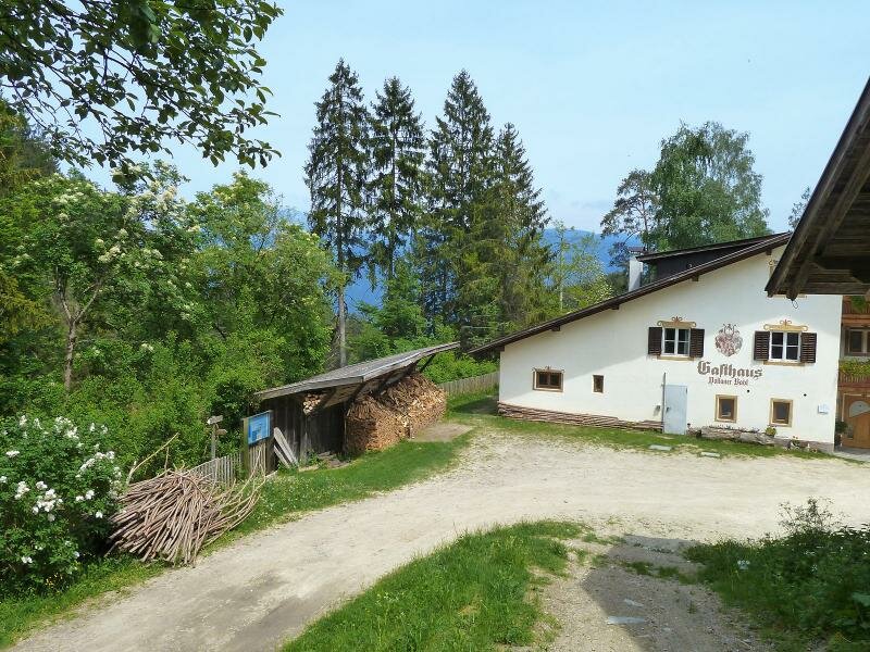
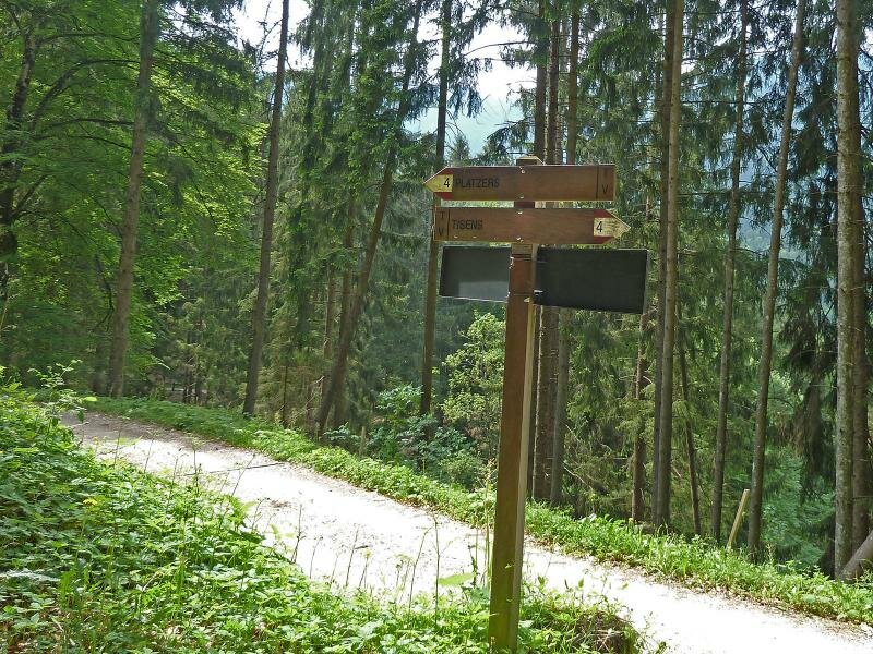
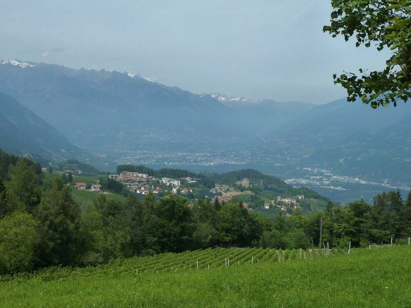
Here the path no. 4 B leads us up to the meadows and farms of Plazzoles (Platzers, 1,300 m a.s.l.). A short but quite arduous section. Now the marker no. 7 proceeds to Plazzoles (asphalt road), a small mountain hamlet with two guesthouses - Natzhof and Rinner - and gorgeous located amidst a landscape of meadows which offers views until the Picco Ivigna mountain and the entrance to the Val Passiria. The road leads us until the Unterhauser-Hof, then our route proceeds downhill (marker no. 10) to the "Völlaner Badl". Our hiking sticks help us to find grip on the slippery ground.
After a rest at the Völlaner Badl we follow the markers 8A and 4 to the farms of Narano and back to Tesimo again, where our circular walk ends. Ideal in spring and autumn, not recommended on hot summer days. Slippery sections, hiking sticks and sturdy shoes necessary!
Author: AT
-
- Starting point:
- Tesimo, village centre
-
- Overall time:
- 04:10 h
-
- Total route length:
- 14,0 km
-
- Altitude:
- from 638 m to 1.289 m
-
- Altitude difference:
- +718 m | -718 m
-
- Signposts:
- upper meadow path, 13, 4B, 7, 10, 8A, 4
-
- Resting points:
- Ristoro Waldheim, Ristorante Natz, Völlaner Badl (Bagni di Foiana)
-
- Recommended time of year:
- Jan Feb Mar Apr May Jun Jul Aug Sep Oct Nov Dec
-
- Download GPX track:
- Tisner Gall circular walk
If you want to do this hike, we suggest you to check the weather and trail conditions in advance and on site before setting out.