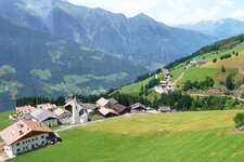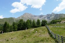
Hiking at the foot of the highest mountain of the Val Sarentino Alps, the Monte Cervina, also called Hirzer in German
Image gallery: Hike to the alpine pastures on Mt. Cervina
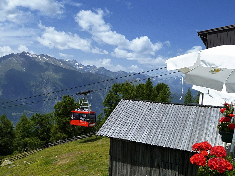
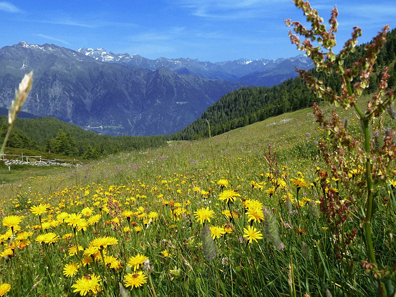
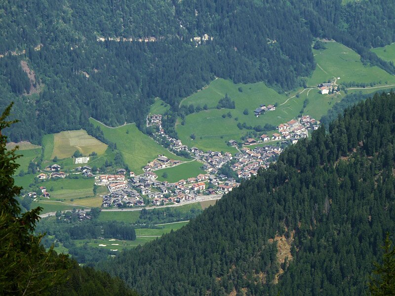
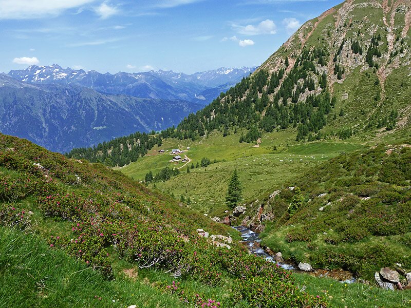
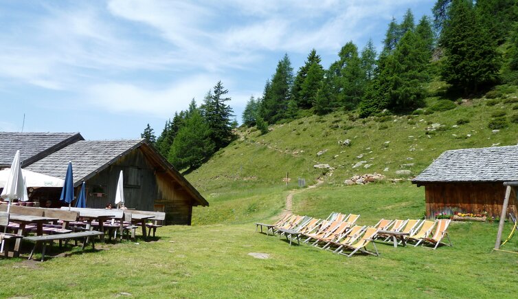
From Saltusio at the beginning of Val Passiria, we take the Monte Cervina Cable Car up to the mountain station Klammeben (tavern at 1,980 m a.s.l.). First of all we take the path no. 8A in order to reach the trail no. 40, leading us down to Rifugio Monte Cervina hut (Hirzerhütte, 1,986 m a.s.l.) and the Malga Tallner alpine pasture (Tallner Alm, 2,022 m a.s.l.).
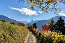
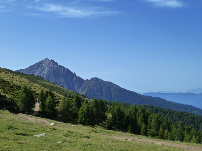
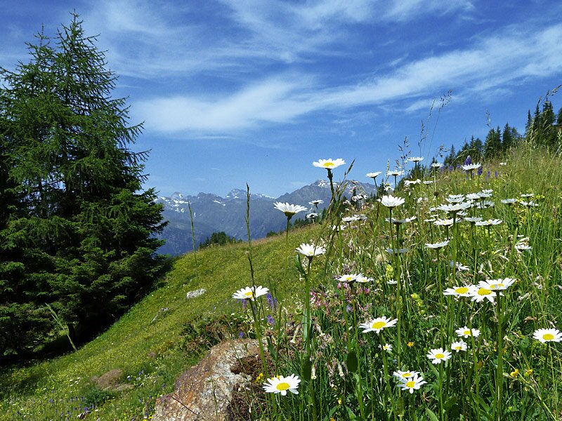
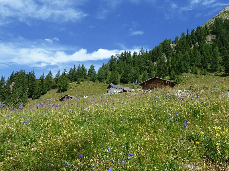
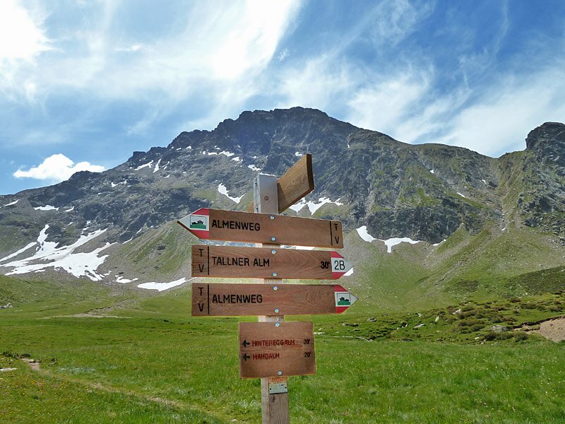
From this point we follow the rather plain trail marked 2B until we reach the Hinteregg and Mahd Mountain Huts, past Lake Rotmoos. This is also where we start our way back, following path no. 4 to the Gompm Mountain Hut at 1,806 m a.s.l.
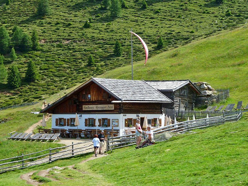
After a short break we return to the Rifugio Monte Cervina via path no. 5B and the European Long Distance Walking Trail.
-
- Starting point:
- Hirzer cable car, mountain station (Klammeben)
-
- Overall time:
- 02:50 h
-
- Total route length:
- 7,1 km
-
- Altitude:
- from 1.837 m to 2.113 m
-
- Altitude difference:
- +393 m | -393 m
-
- Signposts:
- 8A, 40, 2B, Almenweg, 4, European long distance hiking trail, 40, 8A
-
- Resting points:
- Hirzerhütte, Tallner Alm, Hintereggalm, Mahdalm, Klammeben
-
- Recommended time of year:
- Jan Feb Mar Apr May Jun Jul Aug Sep Oct Nov Dec
-
- Download GPX track:
- Hike to the alpine pastures on Mt. Cervina
If you want to do this hike, we suggest you to check the weather and trail conditions in advance and on site before setting out.