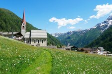
The Ponte di Ghiaccio Mountain Hut is surrounded by the highest three-thousand-metre peaks of the eastern main Alpine ridge
Image gallery: Hike from Lake Neves to the Ponte di Ghiaccio Hut

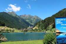
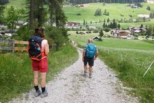
The hike starts at the last car park at the high-alpine reservoir of Lake Neves, which is on a gravel road and can be reached from the hamlet of Lappago. Looking at the lake, in front of us is the slope that we tackle first to reach the Ponte di Ghiaccio Hut at 2,545 metres a.s.l., which is on the other side of the lake. We follow the road and reach the Untermaurer Hut in a few minutes.
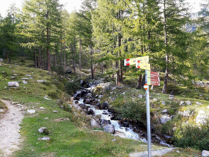
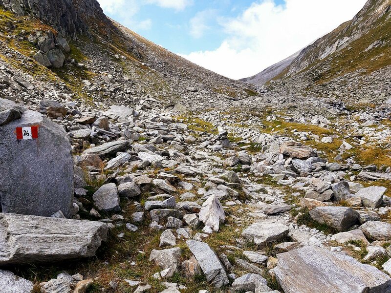
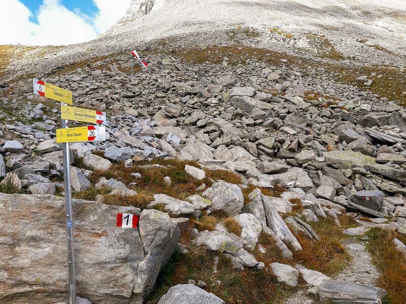
Immediately afterwards we come to a junction where trail no. 26 branches off to the left over a bridge. We take this path and reach the Neves Hut, where we turn left again towards the lake and keep to the right at the junction with the sign "Edelrauthütte", the German name of the Rifugio Ponte di Ghiaccio. The ascent is already quite steep at the beginning, but easily doable.
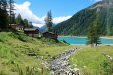
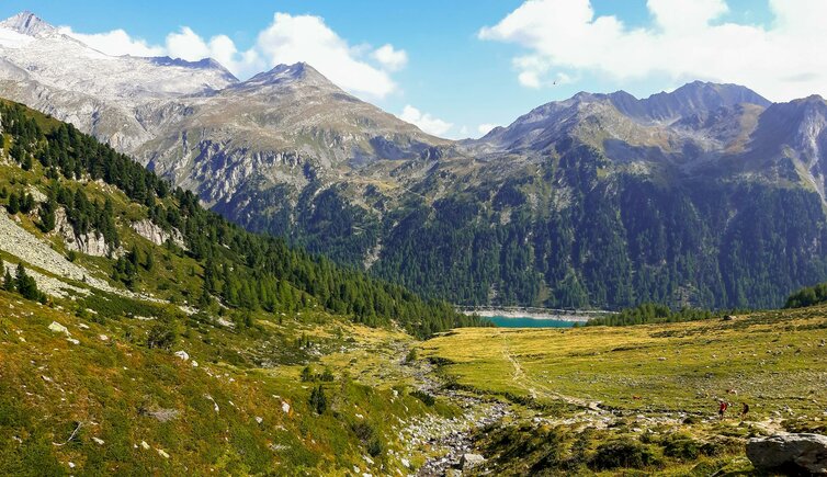
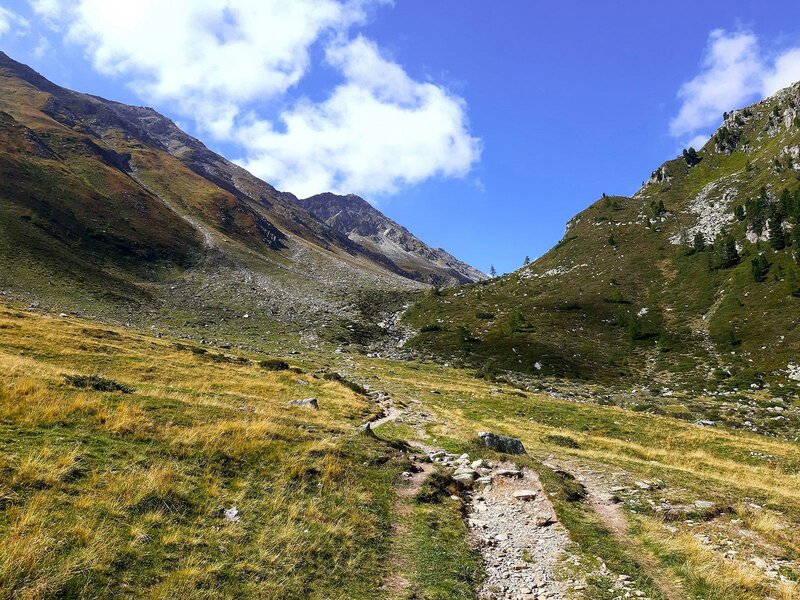
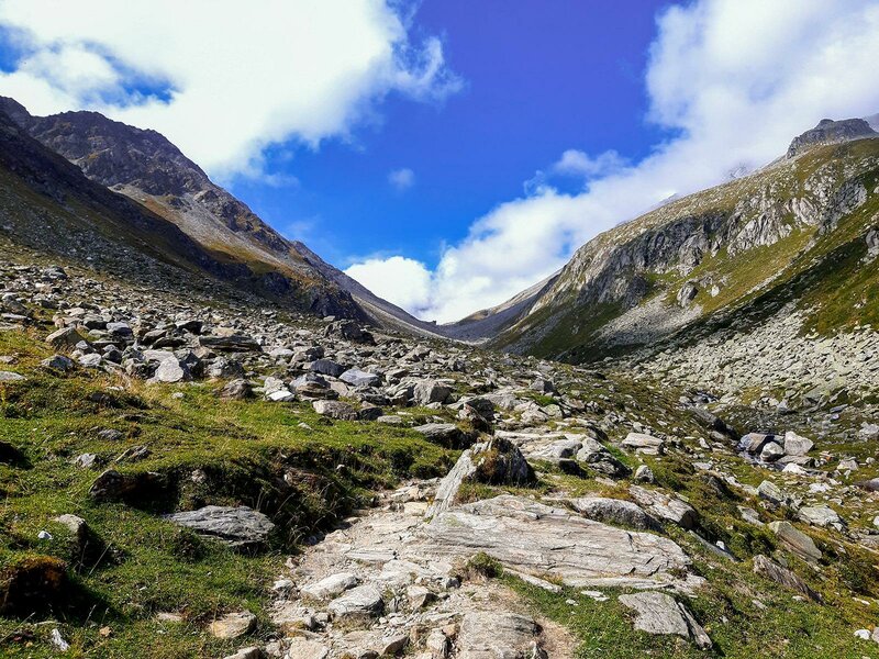
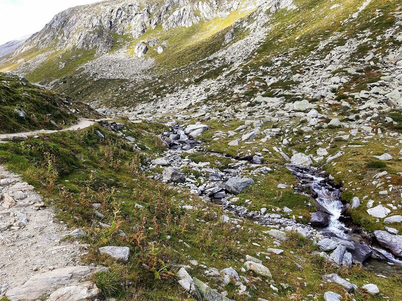
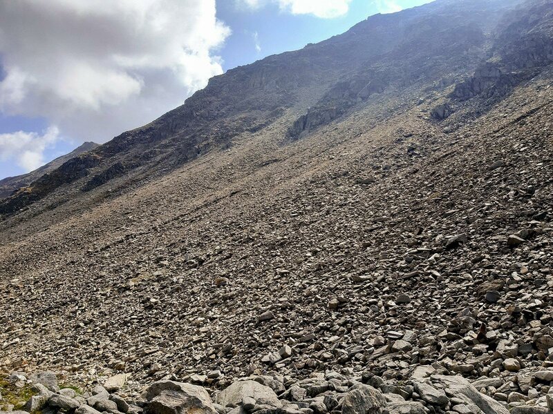
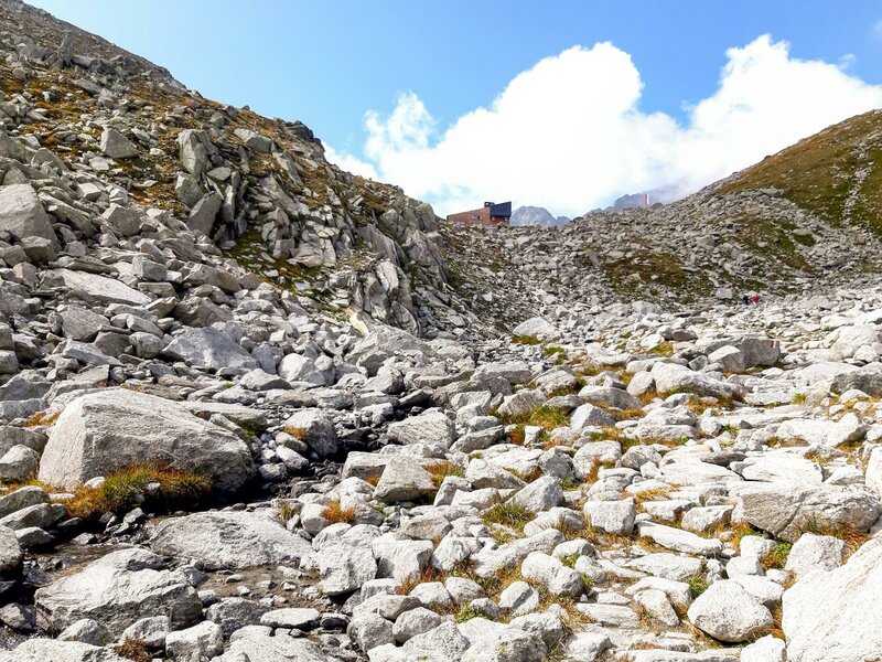
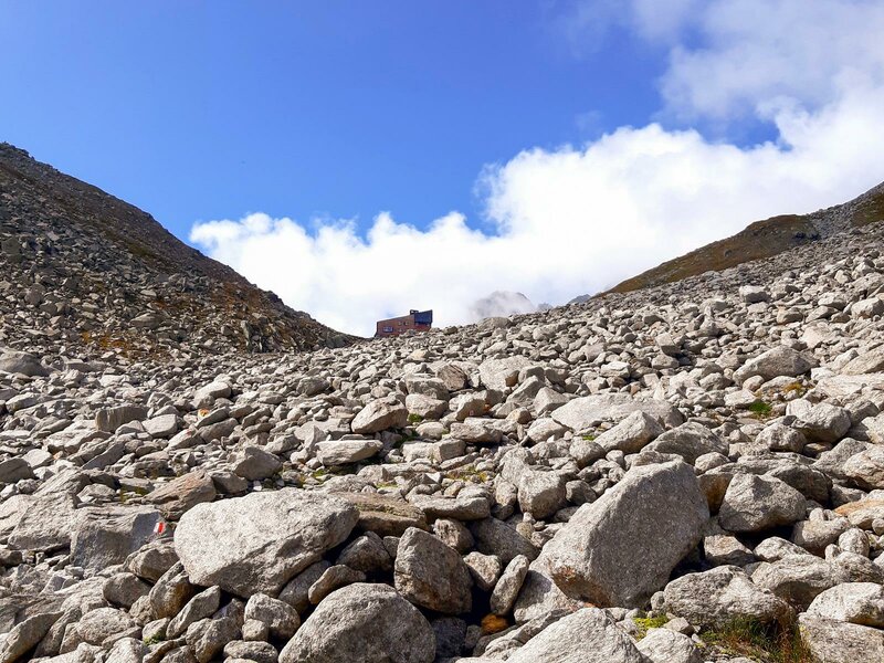
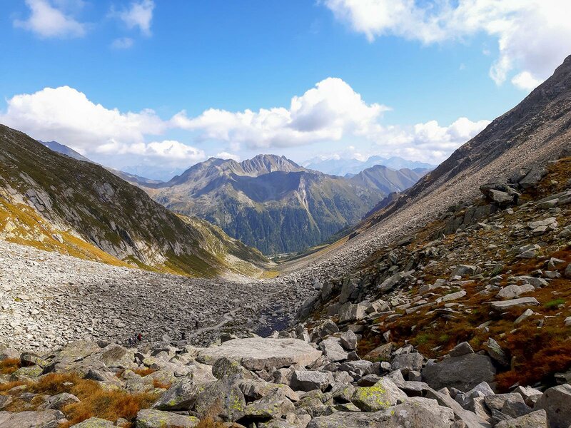
After half an hour, we leave the forest behind us and come to a green meadow with some rocks, a landscape that will accompany us for a while longer. The path winds along the river, which we sometimes have to cross, but this is no problem. Suddenly we leave the grassy landscape behind us and rocks and stones prevail. Above the path, in the middle of the saddle, the Ponte di Ghiaccio Hut, an alpine hut which was newly built in 2015, now appears in front of us.
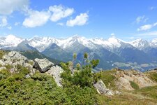
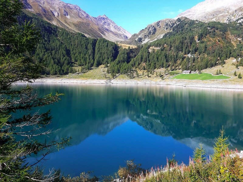
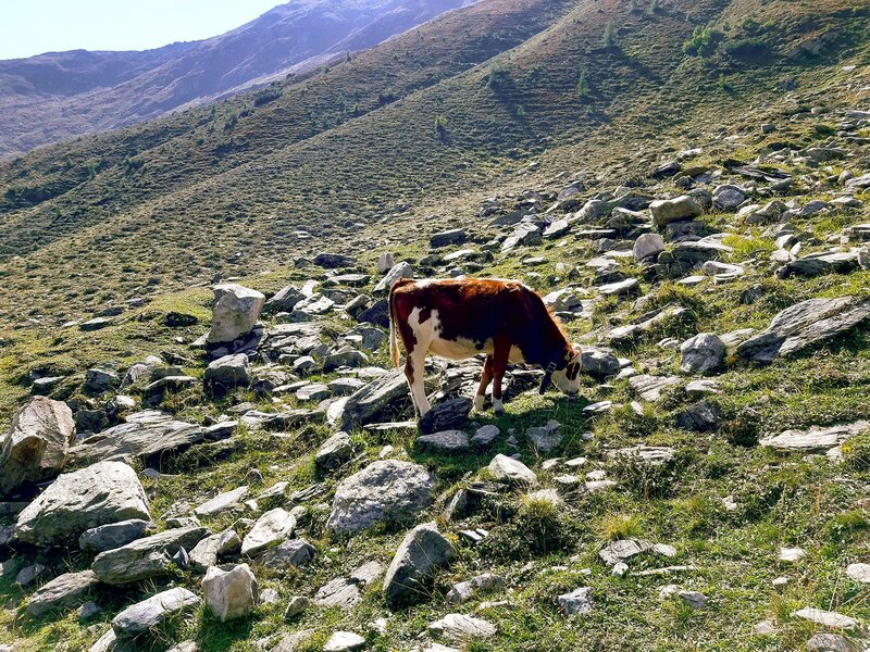
The ascent becomes more arduous and requires surefootedness, more because of the uneven terrain than the steep slope. After about 2.5 hours we reach the Rifugio Ponte di Ghiaccio, from where other hiking trails start, including the famous Neves High Route and the tour to the 3,144-metre high Cima Cadini (Napfspitze) in the Zillertal Alps. From the hut we can also see Lake Ponte di Ghiaccio. We turn back on the same way to our parking space.
Author: CB
Experienced in: September 2020
Last updates: 2025
-
- Starting point:
- Lake Neves, last car park at the lake (1,860 m a.s.l.)
-
- Overall time:
- 03:40 h
-
- Total route length:
- 9,3 km
-
- Altitude:
- from 1.860 m to 2.545 m
-
- Altitude difference (uphill | downhill):
- +685 m | -685 m
-
- Signposts:
- 24, 26
-
- Destination:
- Ponte di Ghiaccio Mountain Hut (2,545 m a.s.l.)
-
- Resting points:
- Untermaurer Hut, Neves Hut, Ponte di Ghiaccio Hut
-
- Recommended time of year:
- Jan Feb Mar Apr May Jun Jul Aug Sep Oct Nov Dec
-
- Download GPX track:
- Hike from Lake Neves to the Ponte di Ghiaccio Hut
-
- More information:
- Be aware of possible snowfall in autumn! The overall time shown above refers to the walking time only, not including breaks or stops at mountain huts.
If you want to undertake this hike, we recommend checking the weather and trail conditions in advance and on site before starting this hike!