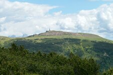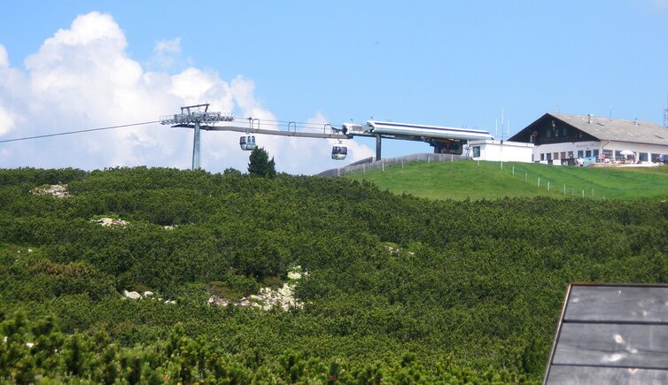
A very hot day pushes us up to the Corno del Renon (Rittner Horn), to an altitude level of nearly 2,400 m a.s.l
Image gallery: Hike at the Cima Lago Nero
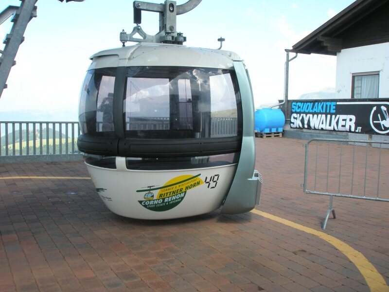
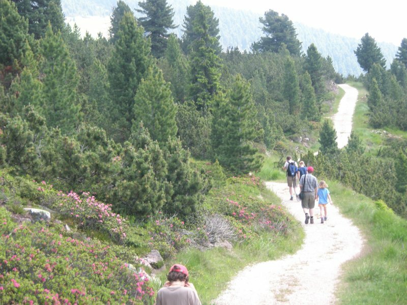
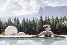
We - two mothers, one girl and two boys have decided to escape from the heat in the valley and try this walking-tour on the Renon. The parking space of the funicular to the Renon at Pemmern is our starting point. We go up by the funicular, enjoy the gorgeous view and get off at the Cima Lago Nero (Schwarzseespitze). What a wonderful chill up here, it makes breathing immediately easier.
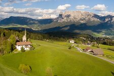
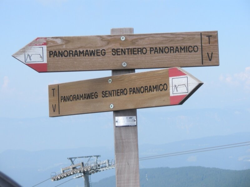
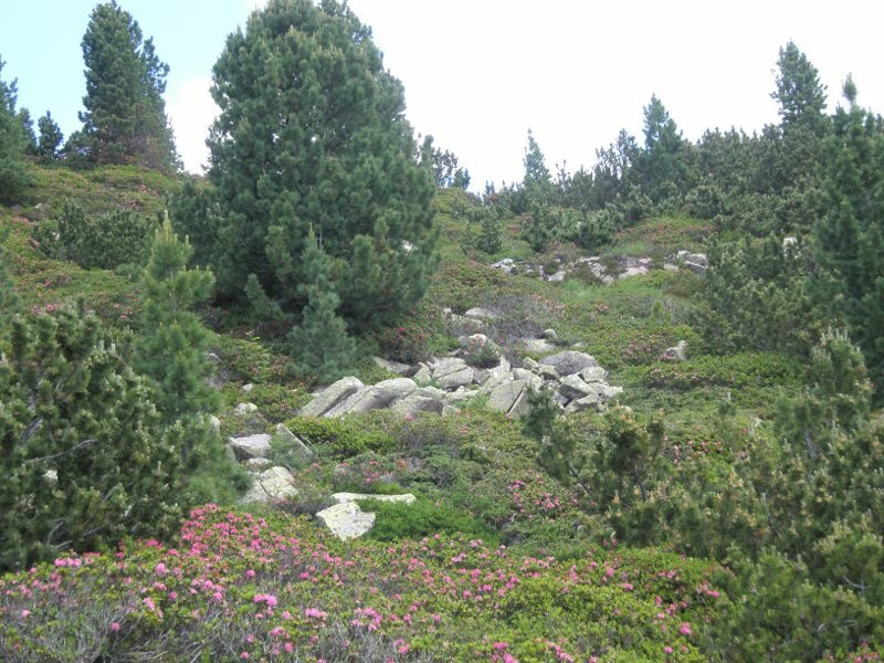
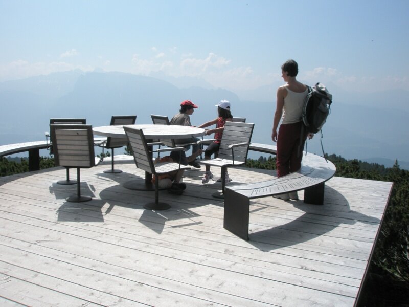
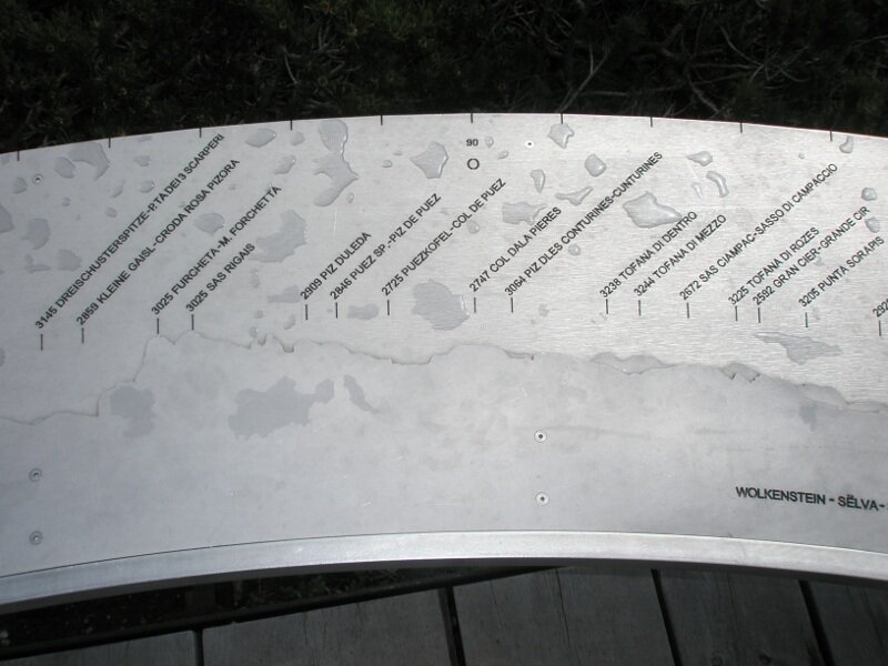
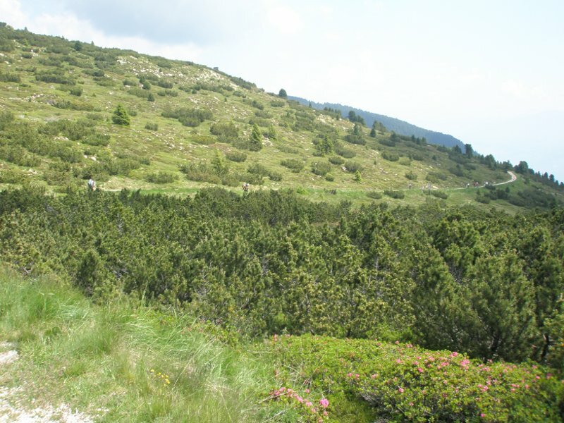
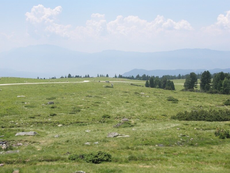
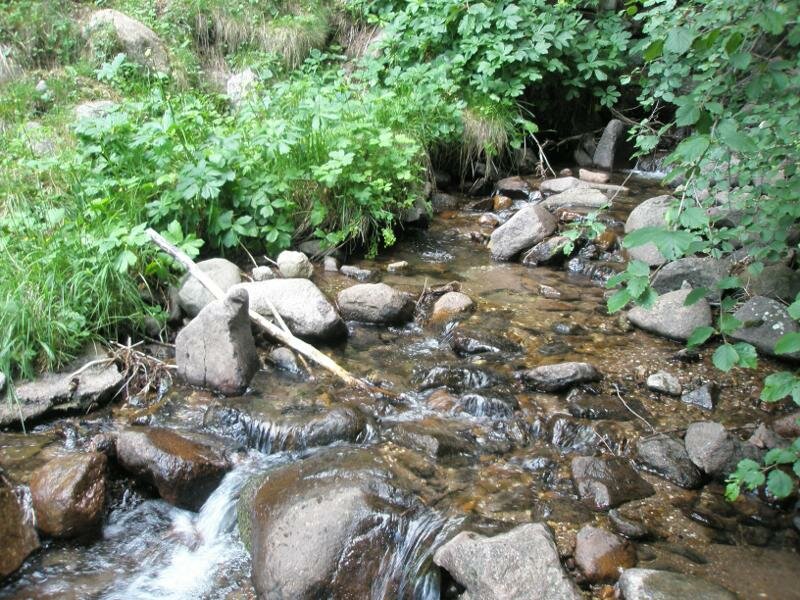
Here the panoramic path starts. It leads through low mountain pines, meadows and blooming alpine roses. The alpine vegetation is really fascinating. Because of the heat of the day the view on the surrounding mountains is nubilous, but we don't care. After a few minutes we take a rest at an amazing lookout point with a table and chairs and an info panel with all the mountains, which can be seen in front of us. Catinaccio, Latemar, Sciliar, Alpe di Siusi, Marmolata, Sassolungo and Sassopiatto, Sasso Putia and the Alps of the Zillertal at the very back.
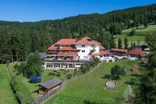
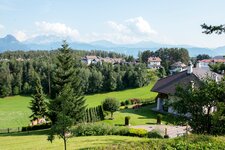
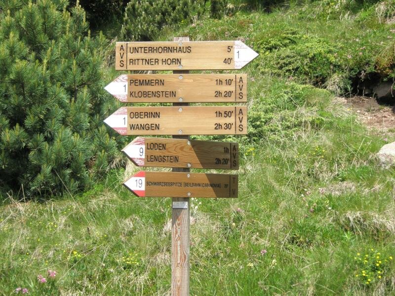
A wide and varied panorama which we will keep in our minds for a long time. The path is easy to walk and leads us along the Cima Lago Nero below the Corno del Renon until the guest house Unterhornhaus where we take a rest. From there the sunny path no. 1 leads across alpine meadows back down to the village of Pemmern, where our car is parked.
Author: RD
-
- Starting point:
- parking space funicular Corno del Renon, Pemmern
-
- Overall time:
- 02:00 h
-
- Total route length:
- 6,7 km
-
- Altitude:
- from 1.531 m to 2.070 m
-
- Altitude difference:
- +58 m | -597 m
-
- Signposts:
- Sentiero panoramico, 1
-
- Resting points:
- Unterhornhaus hut, Cima Lago Nero restaurant
-
- Recommended time of year:
- Jan Feb Mar Apr May Jun Jul Aug Sep Oct Nov Dec
-
- Download GPX track:
- Hike at the Cima Lago Nero
If you want to do this hike, we suggest you to check the weather and trail conditions in advance and on site before setting out.