A comfortable walk along the Bürgeleweg path from the village of Avelengo to the Sulfner Pond and on to Santa Caterina
Image gallery: Hike from Avelengo to the Sulfner Pond
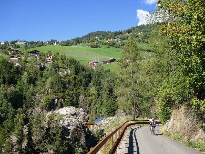
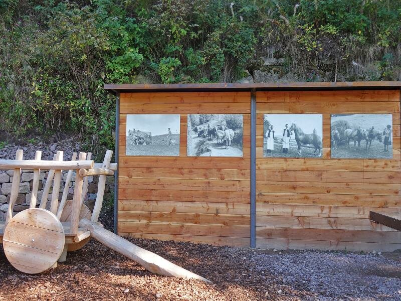
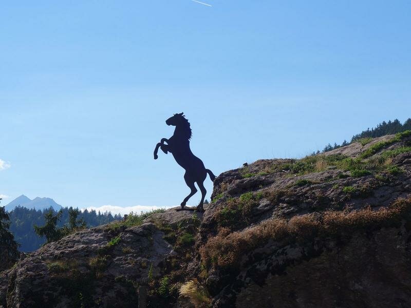
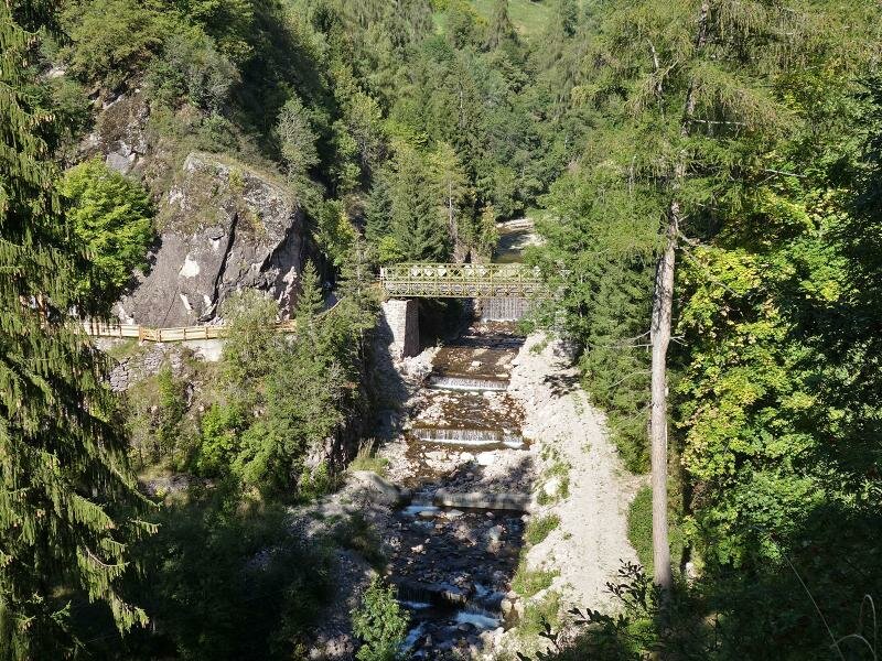
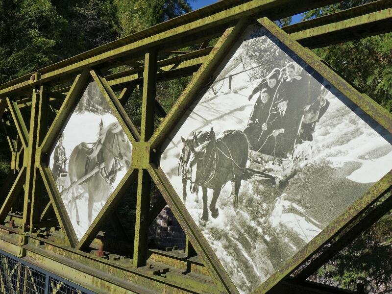
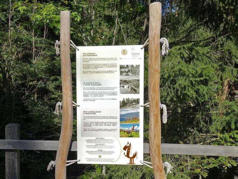
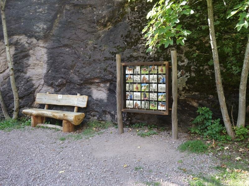
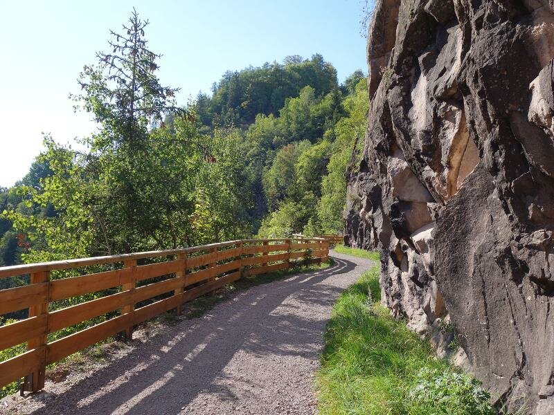
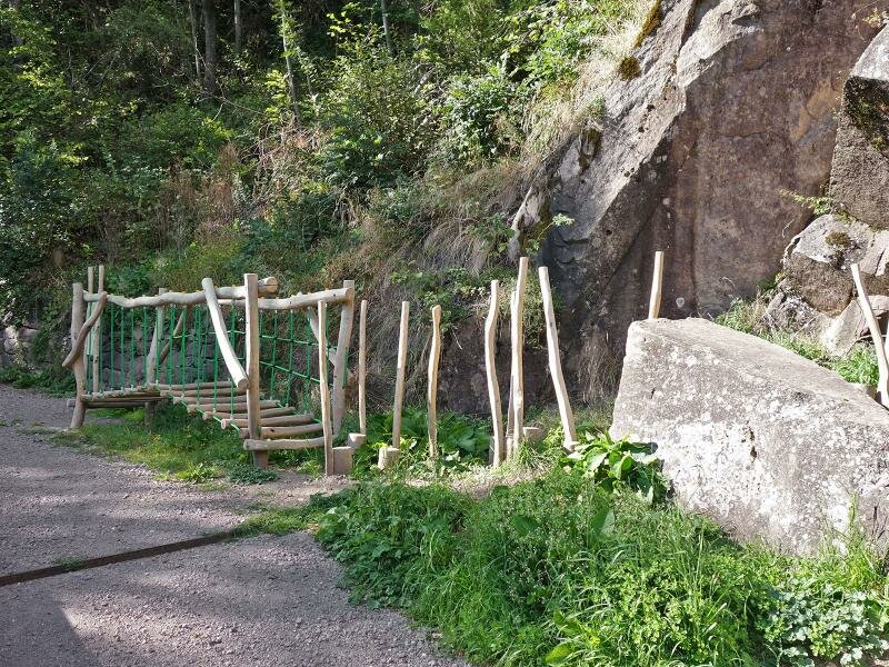
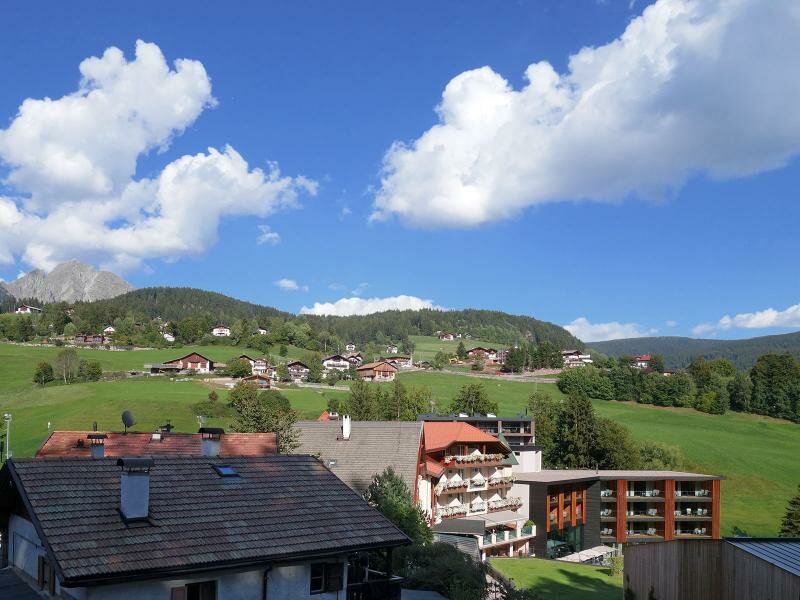
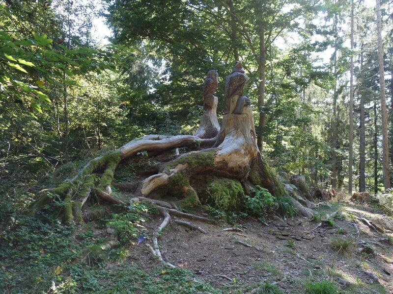

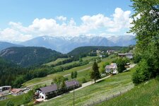
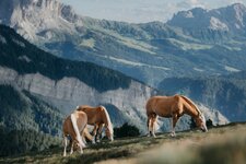
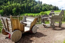
Our tour through the varied landscape on the mountain above the Merano basin starts in the village centre of Avelengo (Hafling). Starting at the hill at the church the path first descends into the valley of the Sinigbach brook. The Bürgeleweg path was renovated and expanded into the "Haflinger Horse Adventure Trail" (Haflinger Erlebnisweg): Several stations explain the history of the village and the famous Haflinger horses, the most famous symbol of Avelengo.
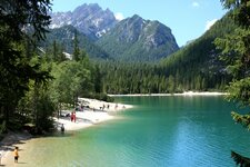
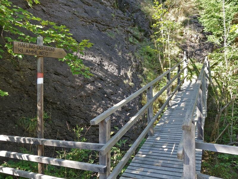
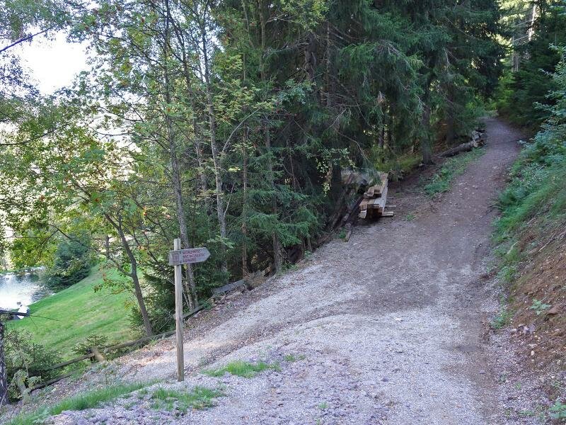
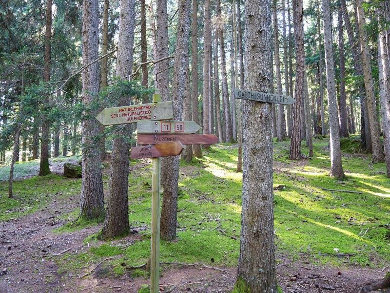
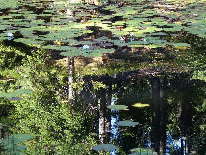
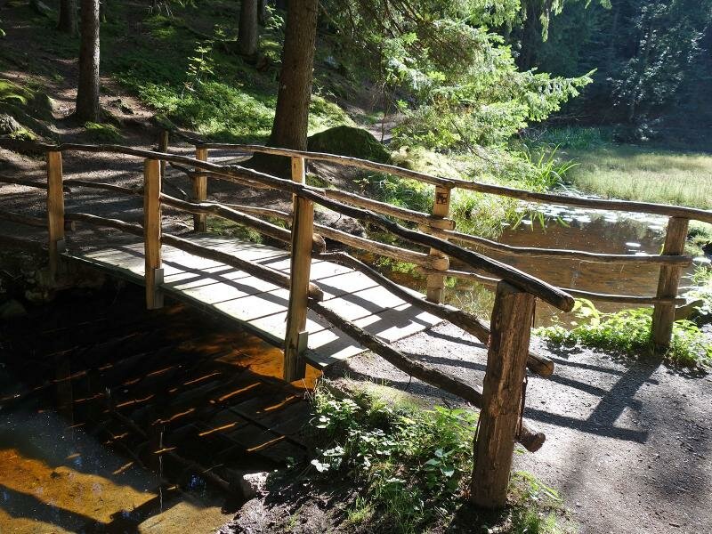
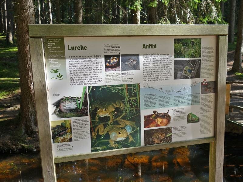
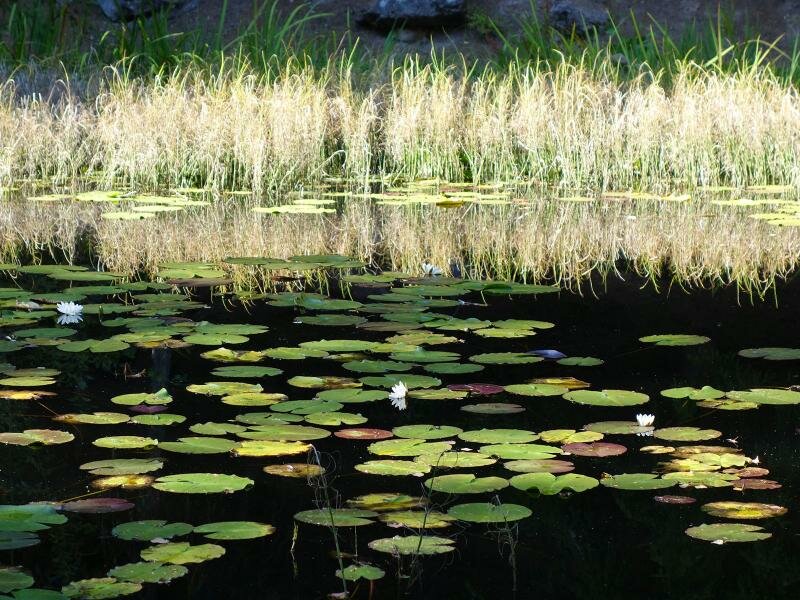
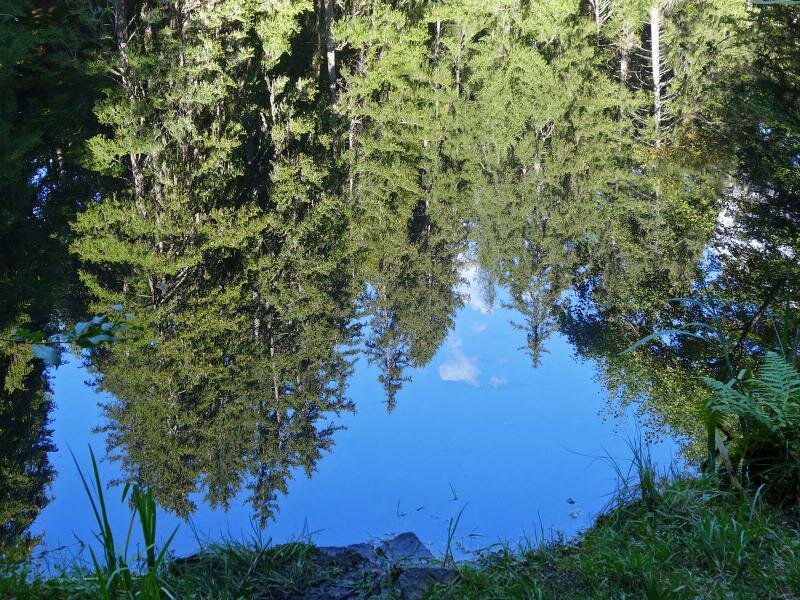
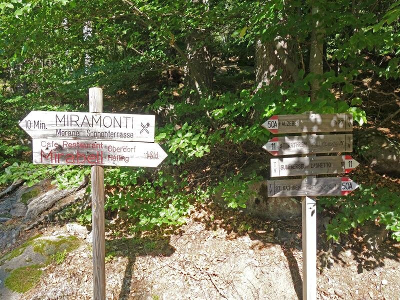
At the edge of the mixed forest we cross the bridge and on the other side of the valley we walk slightly up again to the Nusser parking space. Here we follow the road uphill towards Avelengo di Sopra for a short section and then turn off to the Hotel Viktoria - just behind the house the forest starts, through which the Sulfner Weiher Nature Trail leads. We now hike up to this natural treasure - a biotope with water lilies and a circular path in the middle of the forest.
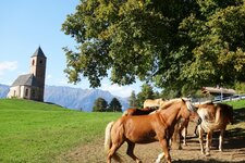
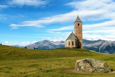
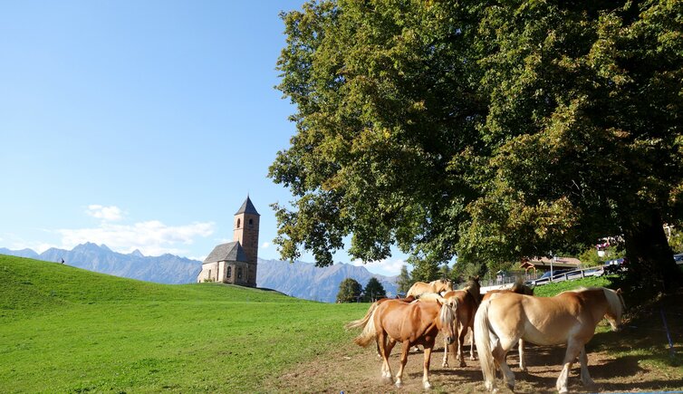
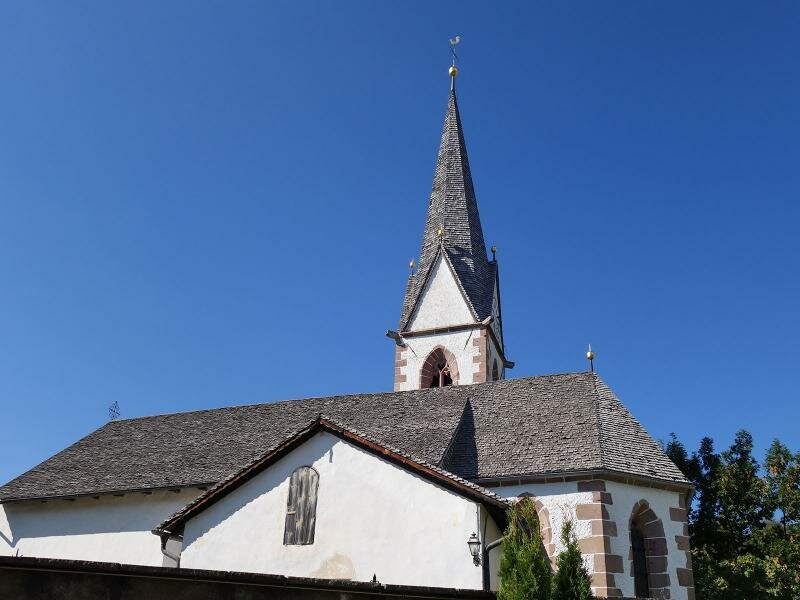
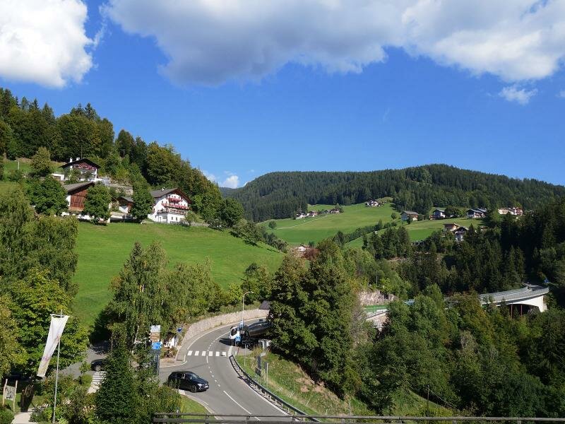
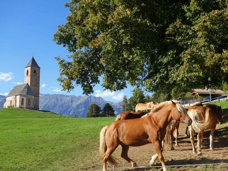
Then a short descent to Santa Caterina (St. Kathrein) follows. The church "St. Kathrein in der Scharte", that's to say the St. Catherine Church, is the second landmark of the municipality of Avelengo and not without reason a very popular photo motif. Best with some Haflinger horses in front and the peaks of the Tessa Group behind! Later we take the same route back to Avelengo.
Author: AT
-
- Starting point:
- Avelengo village centre
-
- Overall time:
- 01:50 h
-
- Total route length:
- 7,4 km
-
- Altitude:
- from 1.235 m to 1.339 m
-
- Altitude difference:
- +274 m | -274 m
-
- Signposts:
- "Haflinger Erlebnisweg", no. 11 (Sulfner Weiher Nature Trail), no. 50A
-
- Destination:
- Santa Caterina
-
- Resting points:
- Sulfner
-
- Recommended time of year:
- Jan Feb Mar Apr May Jun Jul Aug Sep Oct Nov Dec
-
- Download GPX track:
- Hike from Avelengo to the Sulfner Pond
If you want to do this hike, we suggest you to check the weather and trail conditions in advance and on site before setting out.