Uphill hike from the Val di Nova valley to the power place at the St. Catherine Church in the municipality of Avelengo
Image gallery: Hike to the St. Catherine Church

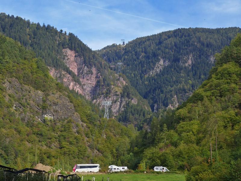
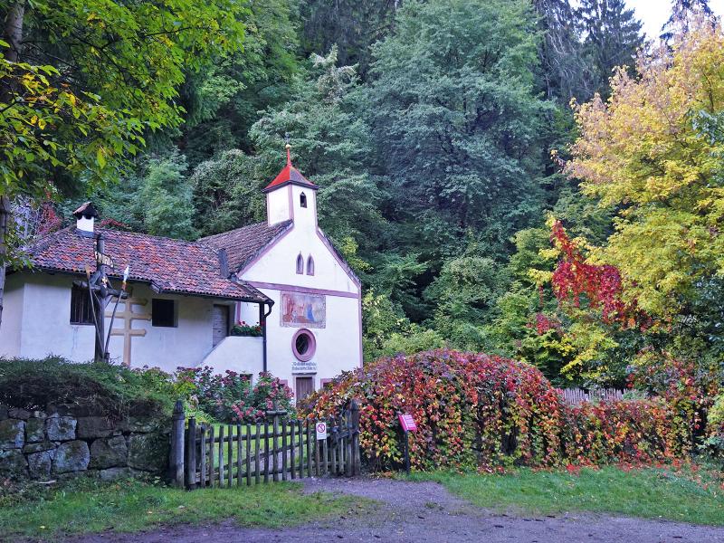
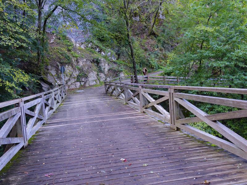
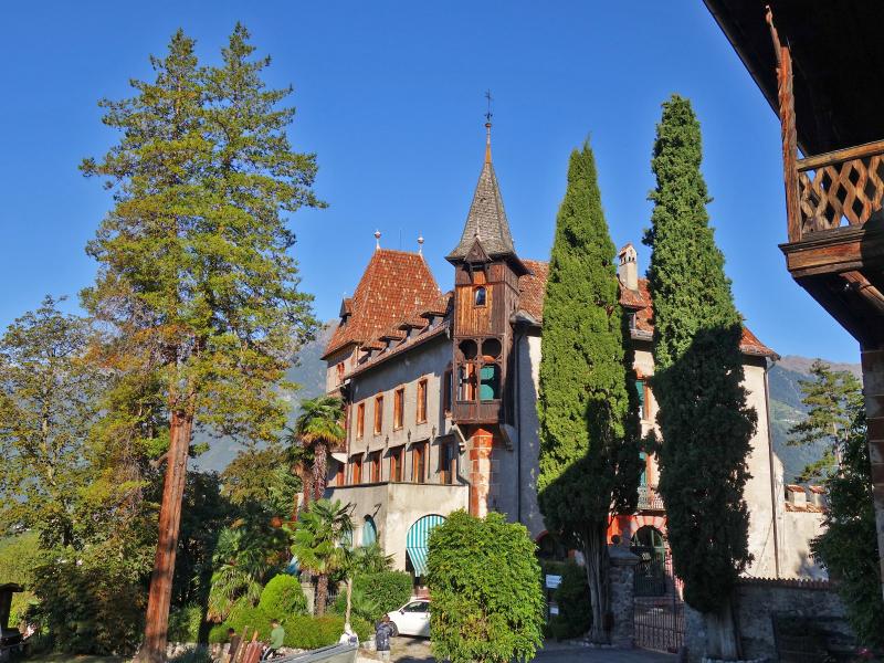
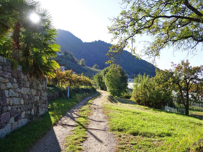
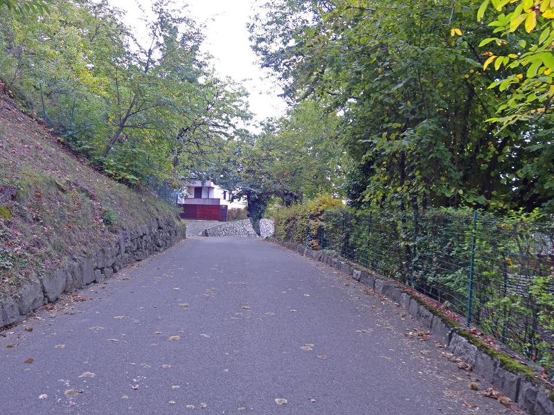
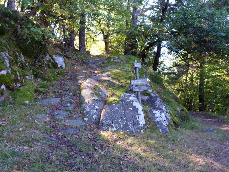
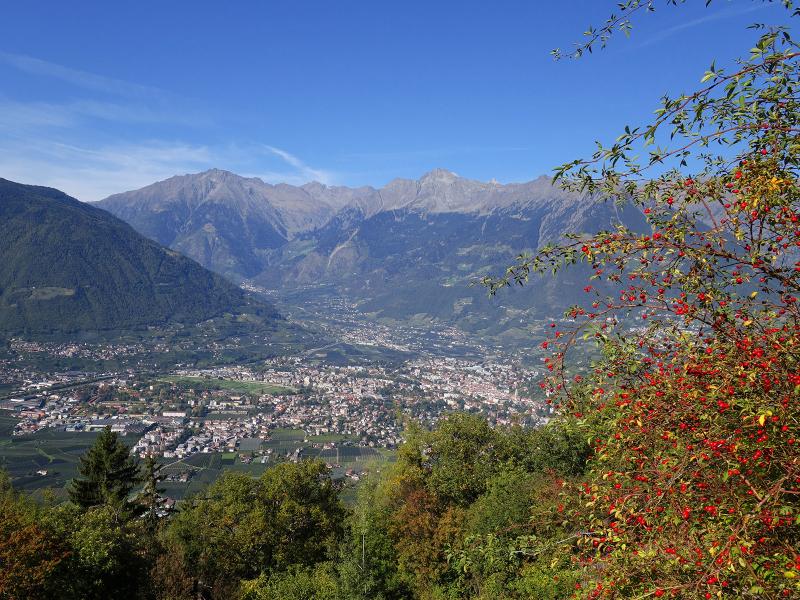
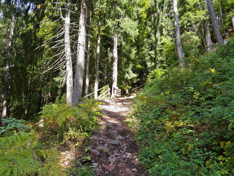

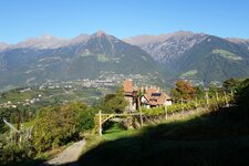
The car park of the Merano 2000 Cable Car in the Val di Nova valley (Naiftal) is the starting point of our hike up to the hamlet of Santa Caterina with the eponymous church. At the beginning we follow the signpost "Meraner Waalrunde" towards southwest. The route leads us downhill a bit, passing the hermitage in the Val di Nova. We cross the stream and immediately after the bridge we take the path on the right, which follows the bank downhill and brings us to Labers Castle. There we take the path uphill towards Montefranco, which leads past farms to the Via Labers road.
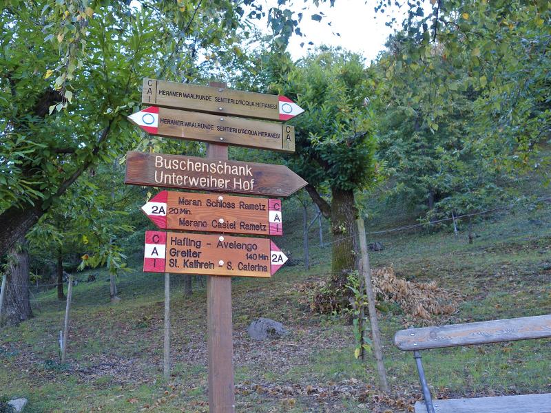
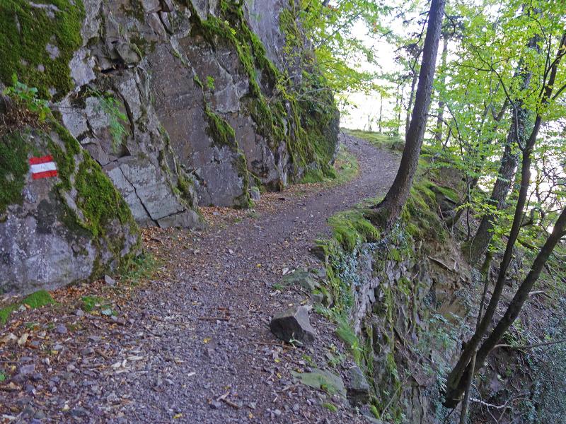
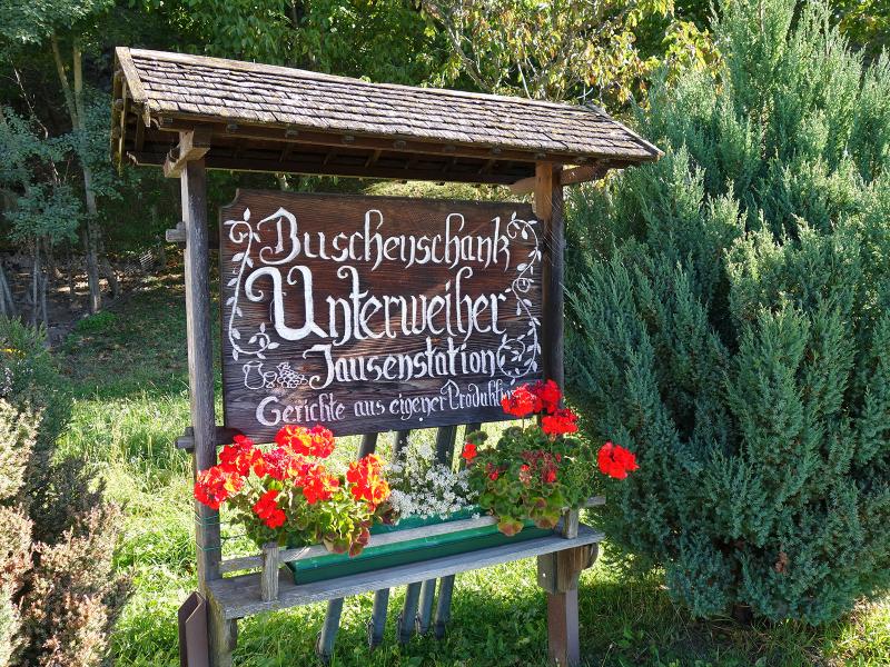
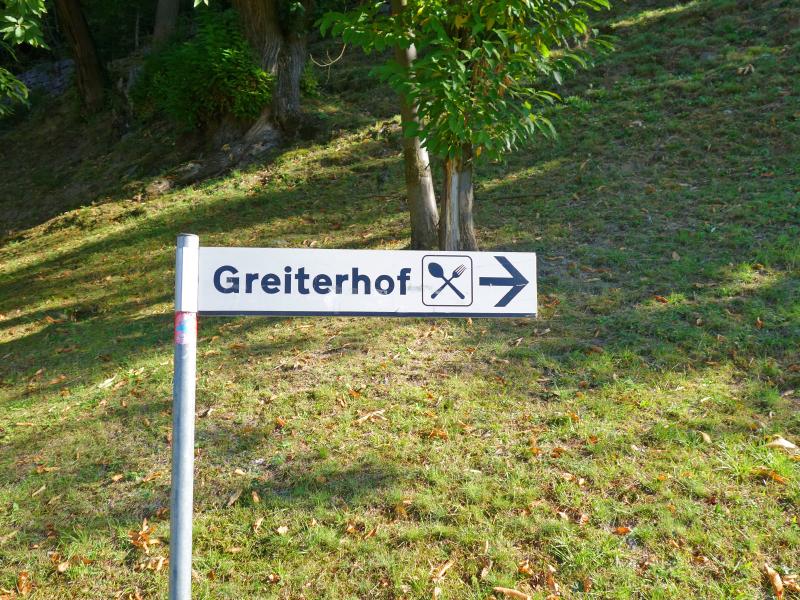
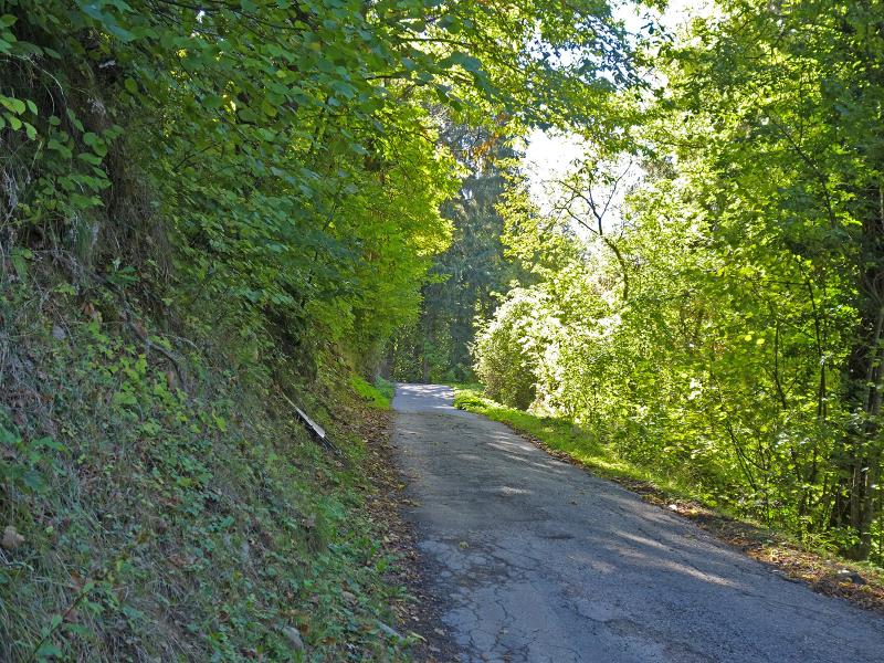
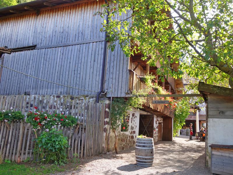
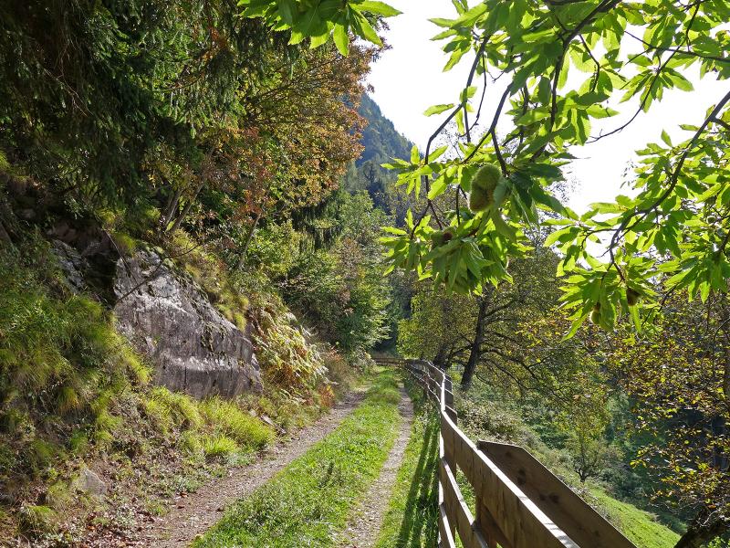
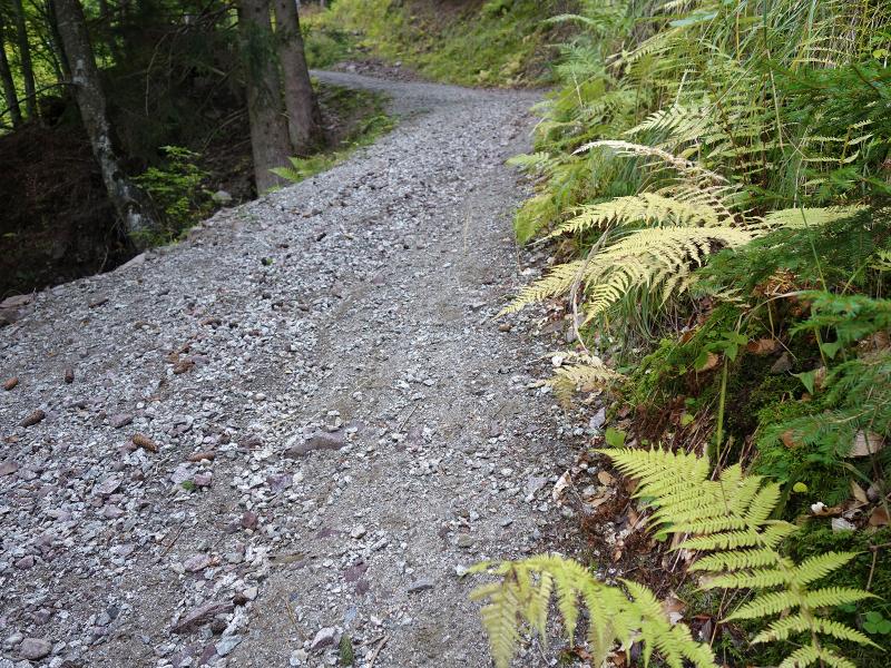
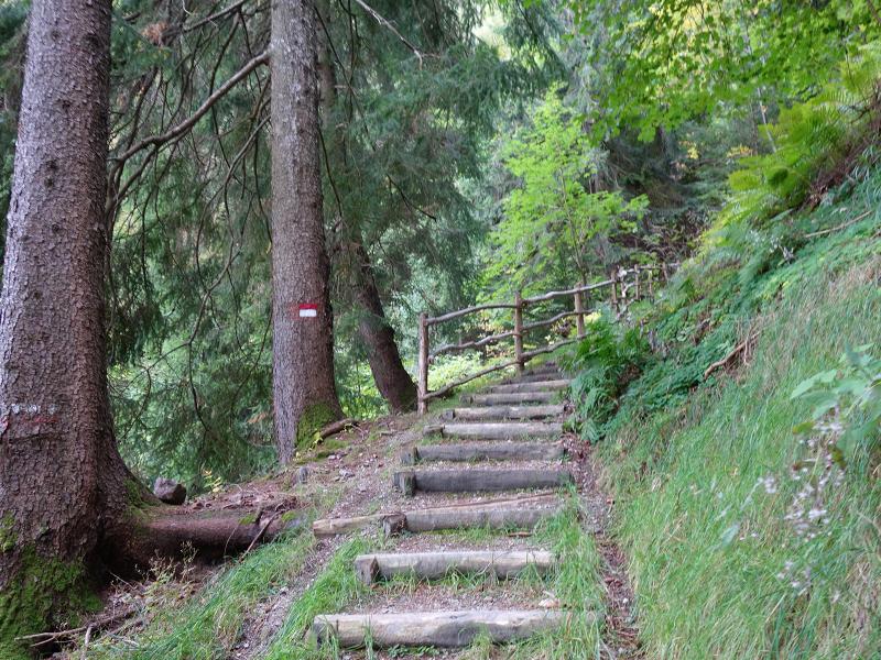
After a section on the asphalt road we follow the signpost 2A towards Avelengo/Greiter. Soon we leave the cultural landscape characterised by fruit and wine growing - the path climbs up to the forest. It takes us to the wine tavern Unterweiher, where we meet the mountain road, which leads in curves up to the Greiterhof at 950 m a.s.l. With a beautiful view on the Val d'Adige valley with Merano in the centre, we enjoy lunch here, which according to the menu is mainly prepared with own farm products. On path 2A we then continue the last stretch up to S. Caterina.
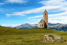
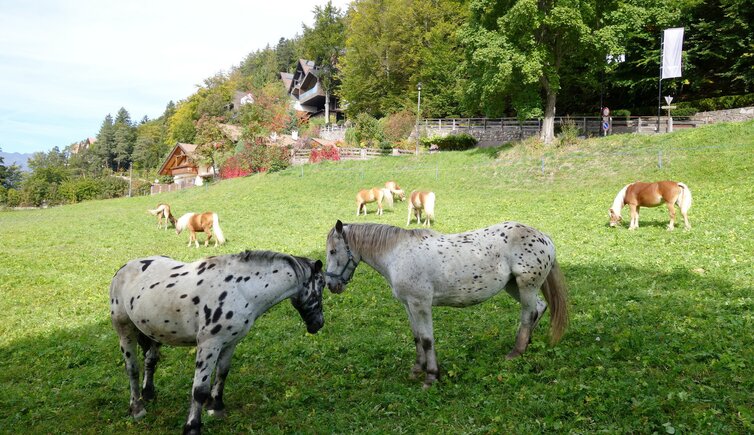
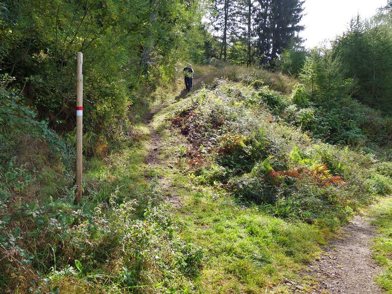
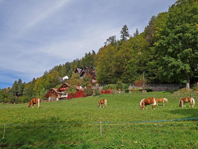
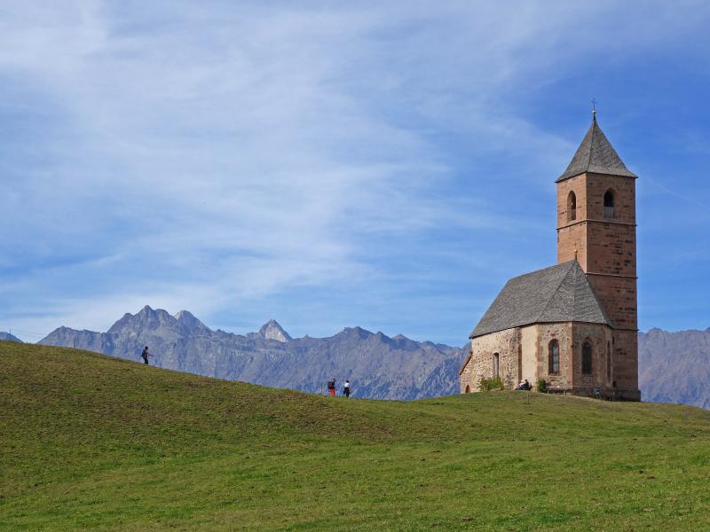
These 300 m of altitude difference are quite a challenge, as it is the steepest part of the hike. This brings us directly to the St. Catherine Church (St. Kathrein), which is a popular photo motif. Haflinger horses graze on the sunny, green meadows. Finally, we descend the short path down to the bus stop at the Avelengo Road where we take the public bus back to our starting point.
Author: AT
-
- Starting point:
- Val di Nova valley (at the valley station of the Merano 2000 Cable Car)
-
- Overall time:
- 03:30 h
-
- Total route length:
- 9,3 km
-
- Altitude:
- from 504 m to 1.238 m
-
- Altitude difference:
- +806 m | -228 m
-
- Route:
- Val di Nova valley - Labers Castle - Unterweiher tavern - St. Catherine (St. Kathrein)
-
- Signposts:
- Meraner Waalrunde, 2A
-
- Recommended time of year:
- Jan Feb Mar Apr May Jun Jul Aug Sep Oct Nov Dec
-
- Download GPX track:
- Hike to the St. Catherine Church
If you want to do this hike, we suggest you to check the weather and trail conditions in advance and on site before setting out.