The hike leads up to the pass height between Mt. Corno Bianco and Mt. Corno Nero, with a stop at the Gurndin Mountain Hut
Image gallery: Hike from Redagno to the Passo Oclini
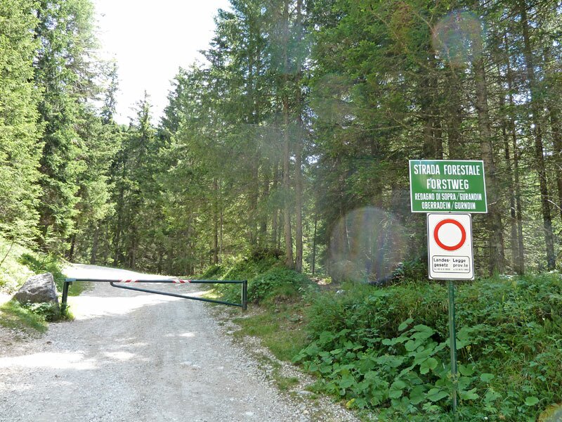
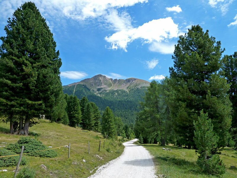
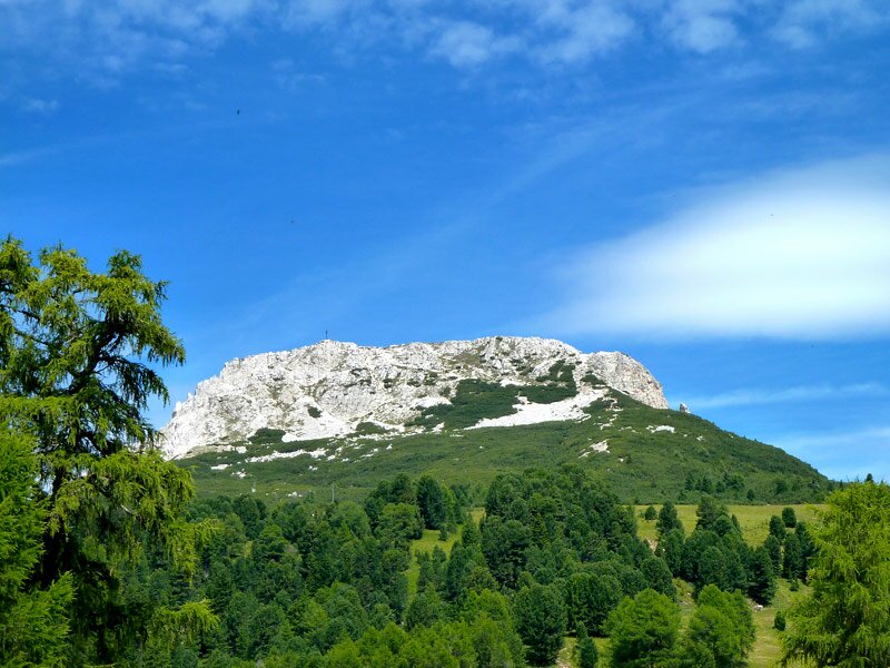
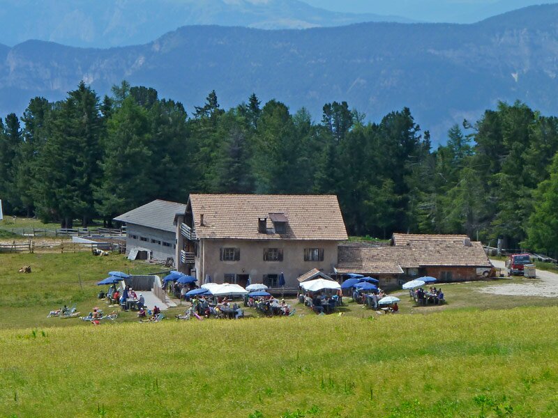
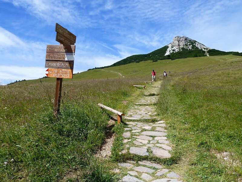
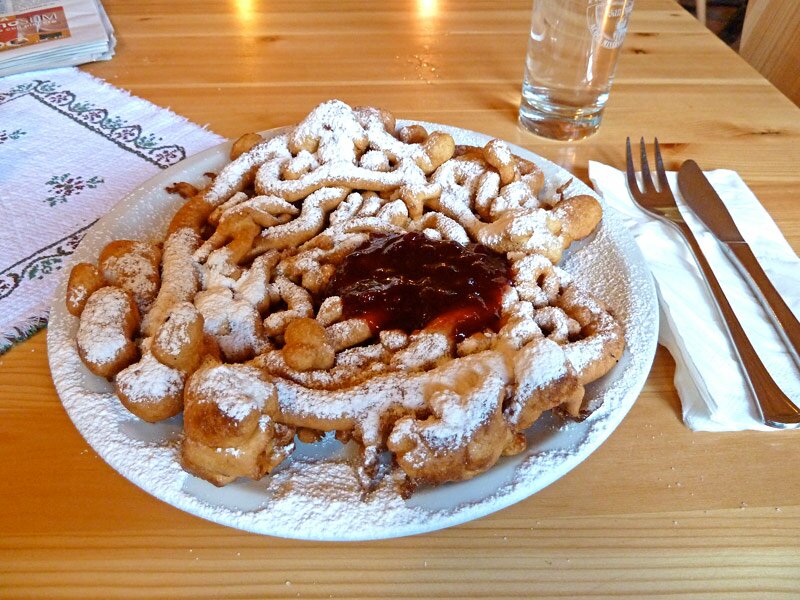
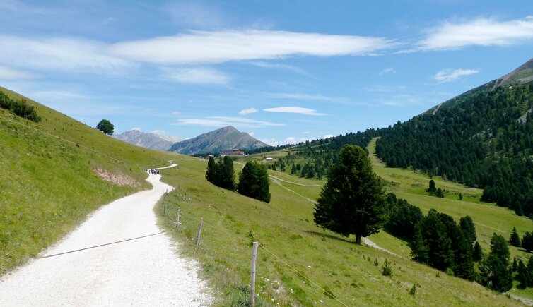
The 2.000 m high pass between the unique peaks of Mt. Corno Bianco and Mt. Corno Nero is accessible from Redagno (Radein). We start our pleasant walk at the turn off of the forest path Gurndin with the road from Redagno di Sotto to Redagno di Sopra. The path proceeds through a high alpine coniferous forest land on the hillside of the Corno Bianco, up to the meadows of the Gurndin Mountain Hut (Gurndin Alm). The mountain hut is already almost our goal for today - we take a rest and enjoy a typical cold bacon dish, which we deserve after this noticeable ascent.
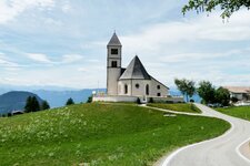
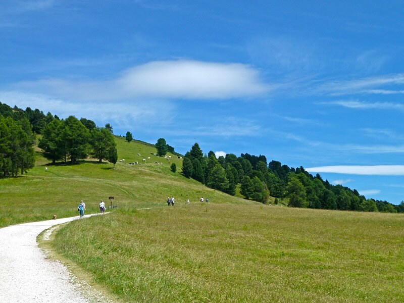
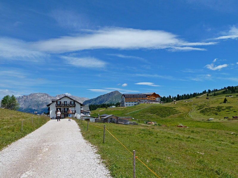
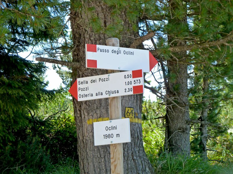
And now we start the last part of our tour, only lightly upwards to the pass. Alpine meadows and some trees shape the highland. At the Passo Oclini (Jochgrimm) we find several guest houses and hotels, the pass is also a small skiing area in winter.
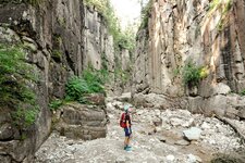
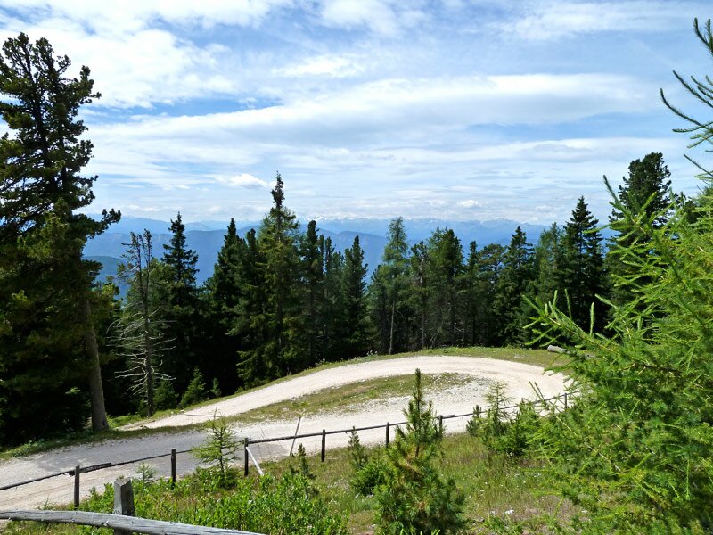
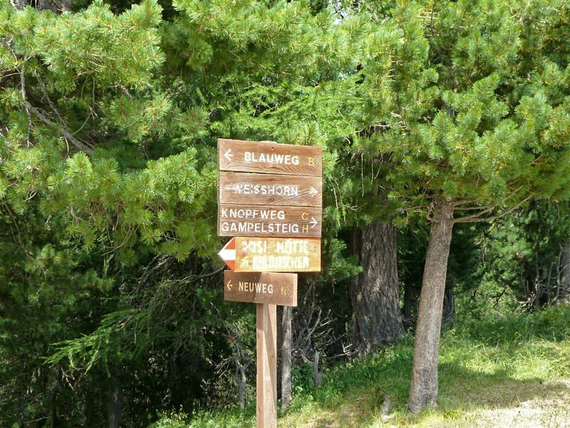
At the pass we have the possibility to walk up to the Passo Lavazè (Lavazè Joch) or to the top of Mt. Corno Bianco (2,316 m a.s.l.) and Mt. Corno Nero (2,439 m a.s.l.). But today we decide not to come back too late so we start our way back from here. At the Gurndin Mountain Hut we take a shortcut down to Redagno: The "Blauweg" (marker "B") leads us past untouched alpine meadows through the coniferous woods, also a view on the gorgeous Bletterbach Gorge is guaranteed.
Author: AT
-
- Starting point:
- Redagno, parking space Redagno di Sopra
-
- Overall time:
- 03:35 h
-
- Total route length:
- 12,6 km
-
- Altitude:
- from 1.561 m to 1.990 m
-
- Altitude difference:
- +435 m | -435 m
-
- Signposts:
- forest path Gurndin, 7, 12A, 2
-
- Destination:
- Passo Oclini / Jochgrimm
-
- Resting points:
- Jochgrimm, Schwarzhorn, Gurndin Alm
-
- Recommended time of year:
- Jan Feb Mar Apr May Jun Jul Aug Sep Oct Nov Dec
-
- Download GPX track:
- Hike from Redagno to the Passo Oclini
If you want to do this hike, we suggest you to check the weather and trail conditions in advance and on site before setting out.