On a scouting expedition in the most southerly part of South Tyrol: The Dürer Path to the Sauch Pass, an important trade route in medieval times, is an insiders’ tip for a spring or autumn hike
Image gallery: Hike from Salorno to the Passo Sauch
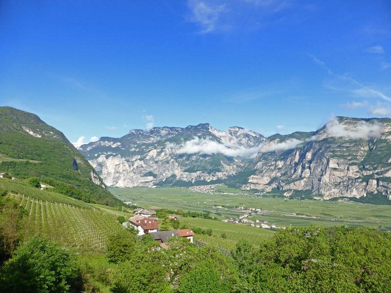
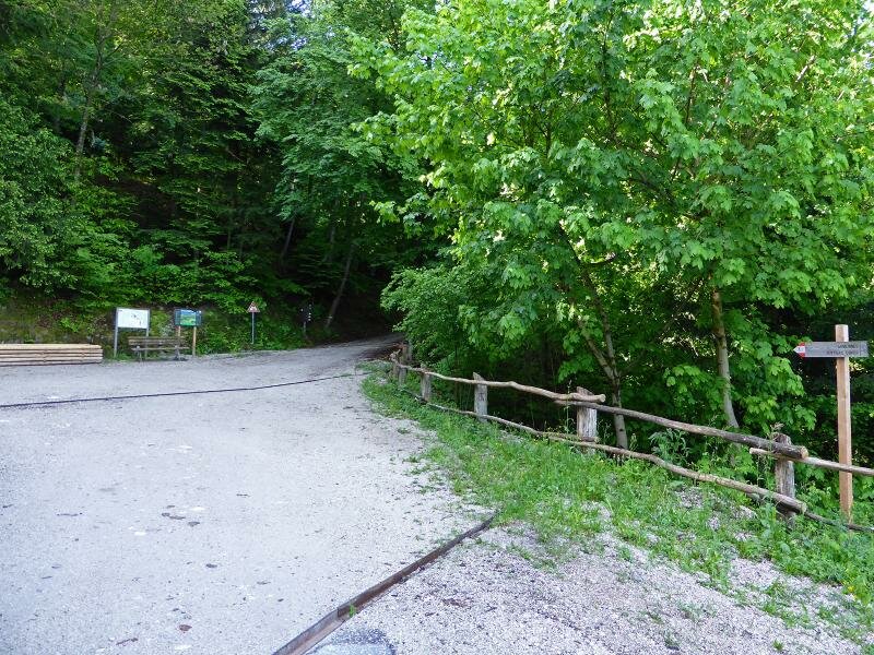
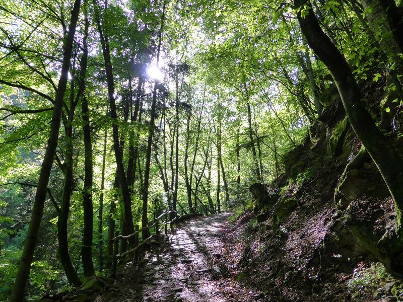
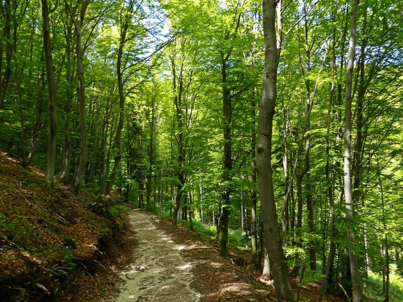
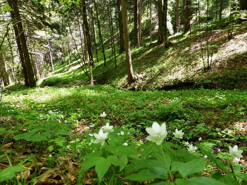
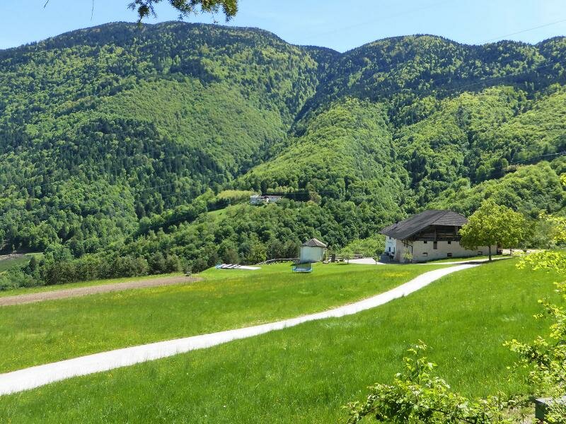
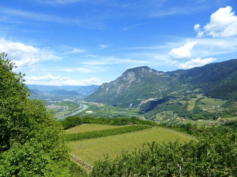
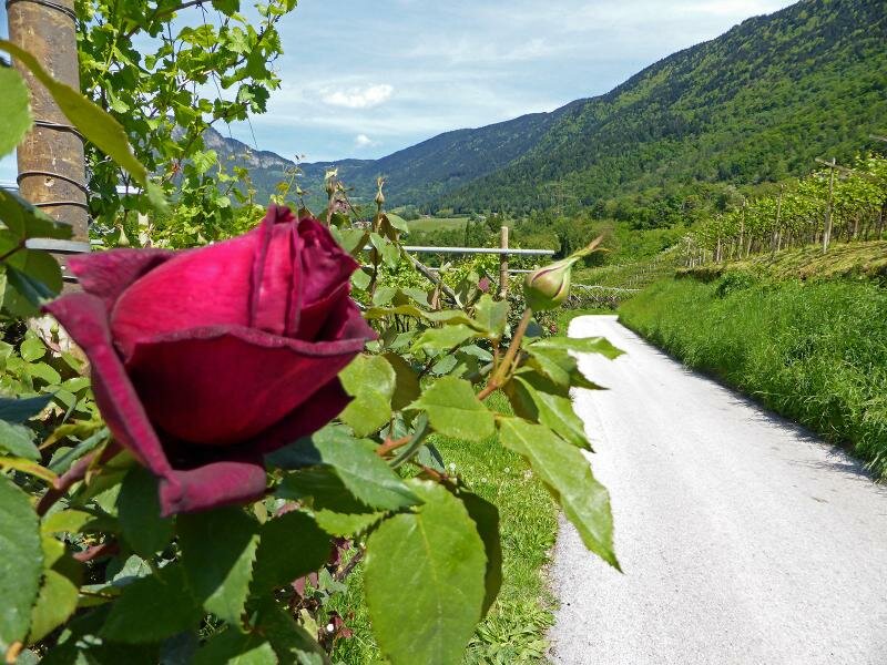
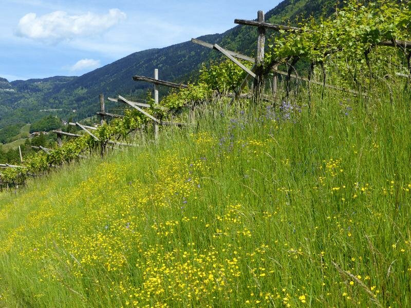
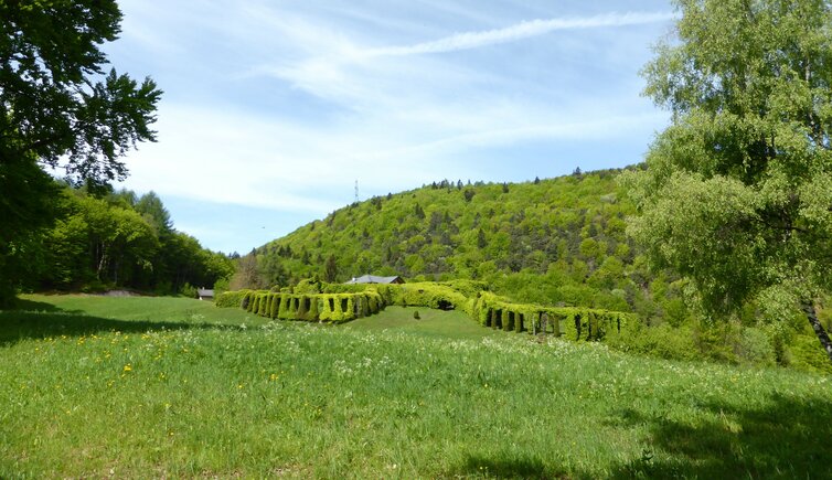
Starting point of our hike today is Pochi di Salorno (Buchholz), a small village above Salorno, at about 560 m a.s.l. At the entrance of the village we walk along the road towards south until the path no. 1 branches off at the left. This path proceeds through the forest and vineyards, past old farmyards until a parking space.
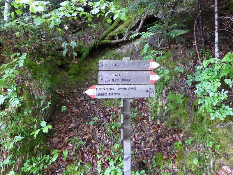
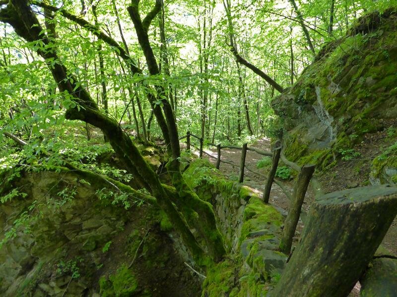
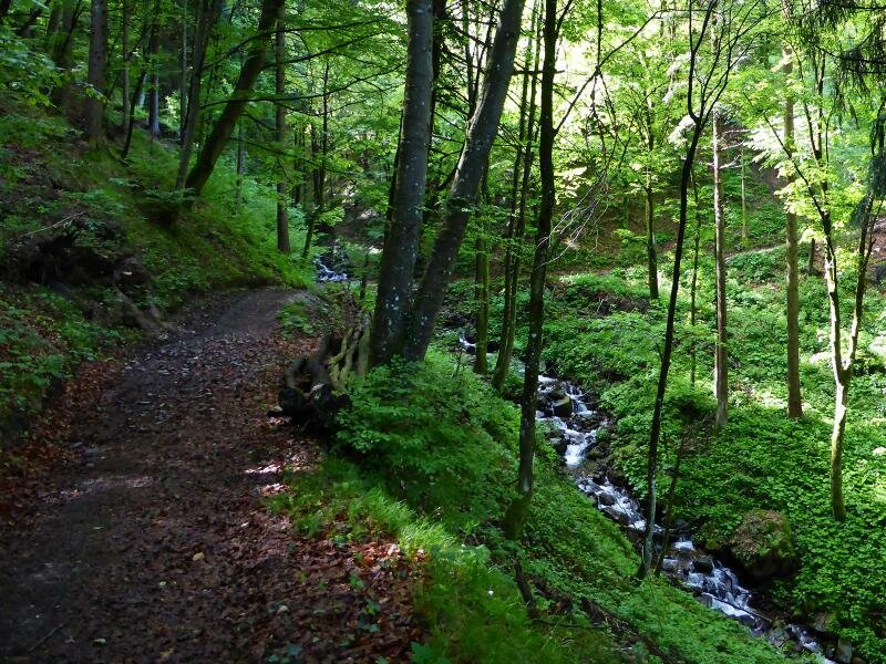
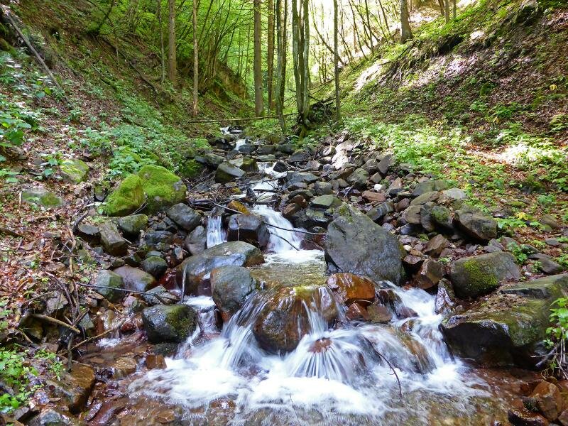
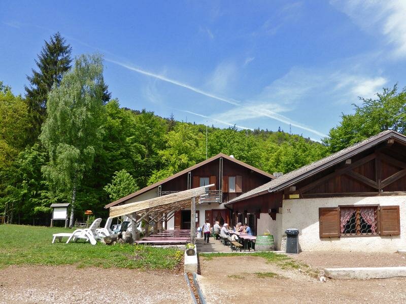
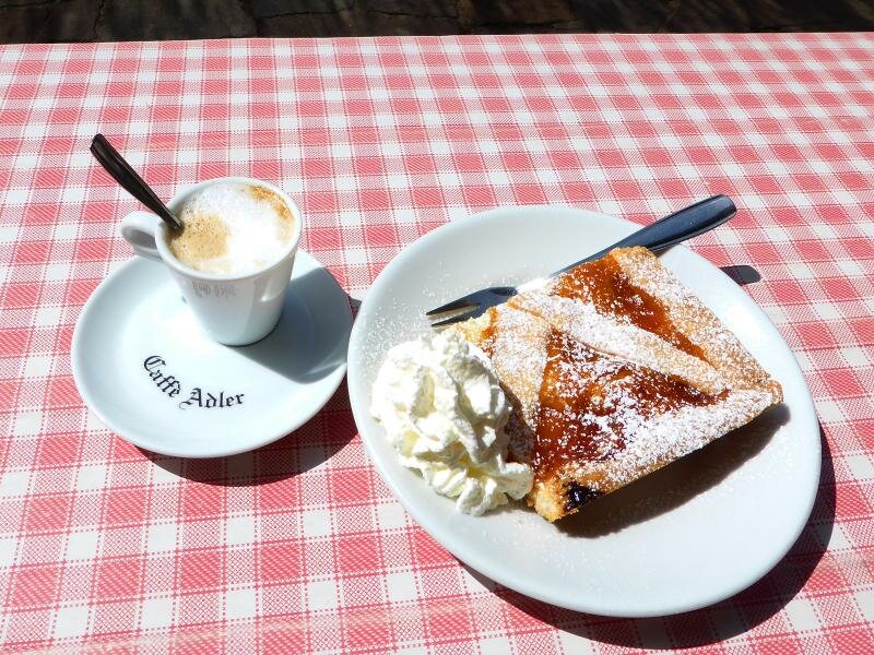
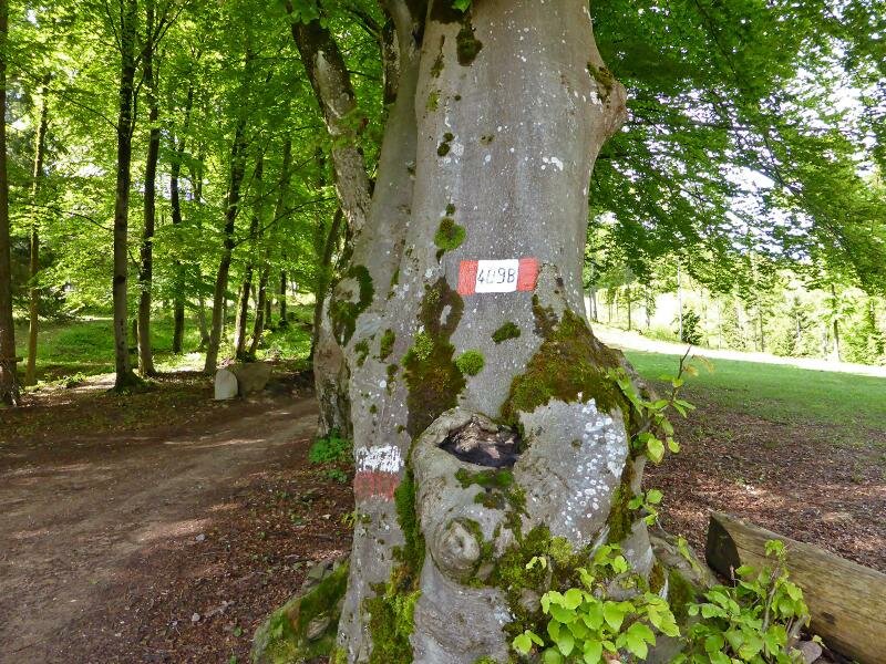
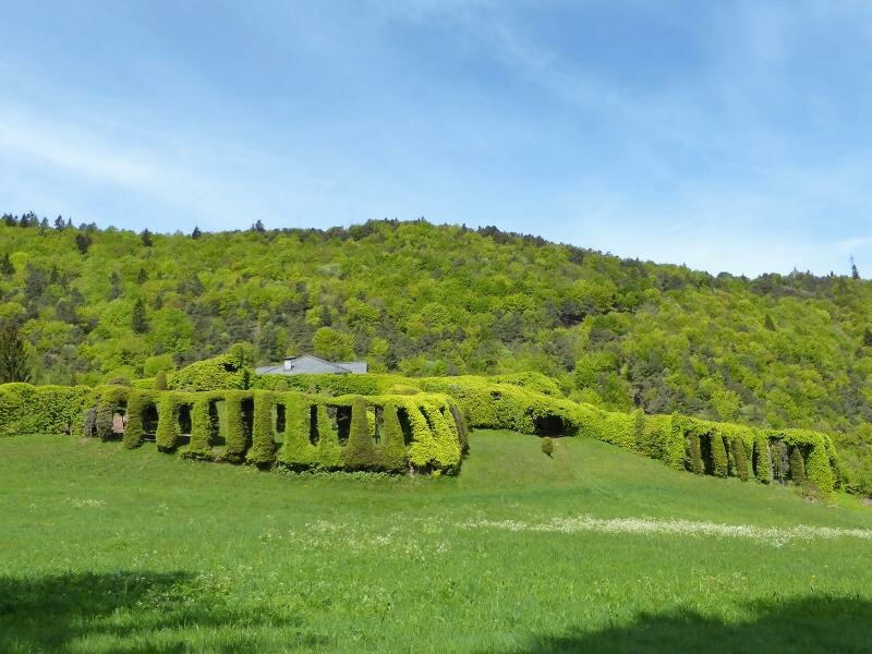
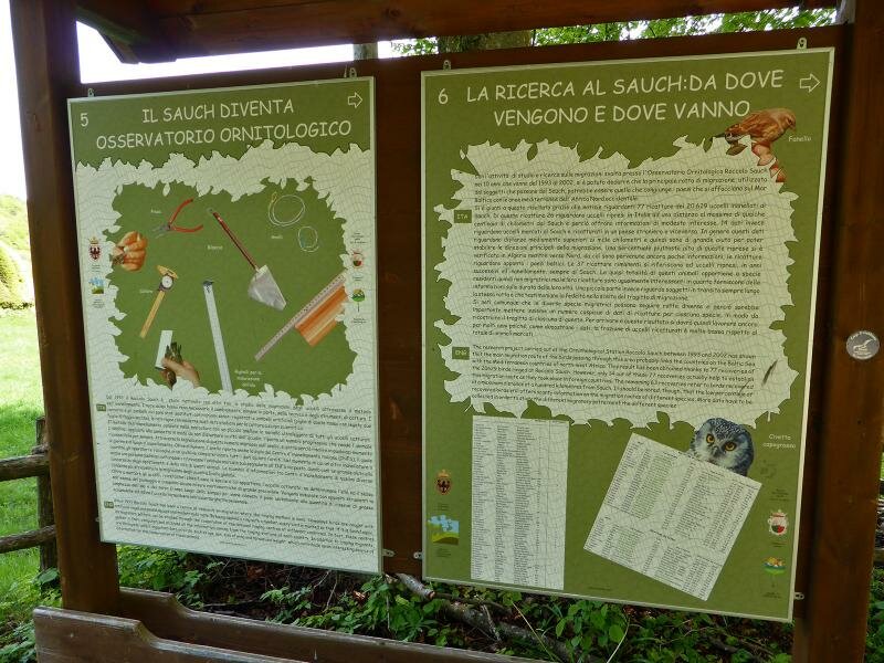
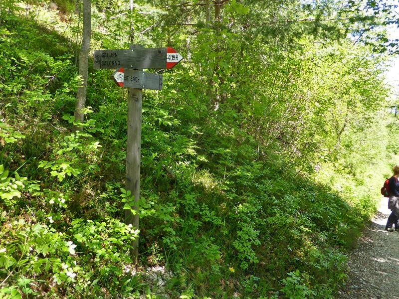
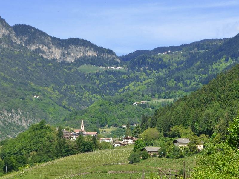
From here we follow the markers no. 1 "Sauch" and "Dürerweg" o "Sentiero del Dürer" (Dürer Path). Here we get an idea how the people crossed the Alps in the time of Albrecht Dürer's tour of Italy. After about 2 hours we reach the Passo Sauch (920 m a.s.l.). The Sauch Mountain Hut offers traditional South Tyrolean and Trentino cuisine. After our deserved break we follow the path no. 409b until the "Roccolo del Sauch", a former bird trap.
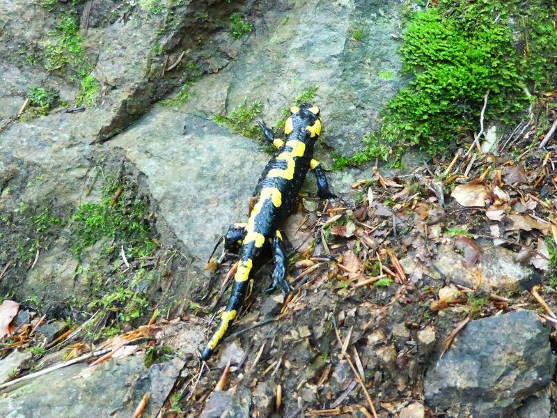
Today especially migrating birds are observed and ringed here. Here we turn and walk back again to the hut, then along the path no. 409B downhill. Out of the wood we reach the southern vineyards of Pochi di Salorno and finally follow the asphalted road back to our starting point.
Author: AT
-
- Starting point:
- Pochi di Salorno (junction: path no. 1 to the Rifugio Sauch Mountain Hut)
-
- Overall time:
- 03:45 h
-
- Total route length:
- 12,5 km
-
- Altitude:
- from 378 m to 952 m
-
- Altitude difference:
- +603 m | -603 m
-
- Signposts:
- 1, Dürerweg, 409B
-
- Destination:
- Rifugio Sauch
-
- Resting points:
- Rifugio Sauch Mountain Hut
-
- Recommended time of year:
- Jan Feb Mar Apr May Jun Jul Aug Sep Oct Nov Dec
-
- Download GPX track:
- Hike from Salorno to the Passo Sauch
If you want to do this hike, we suggest you to check the weather and trail conditions in advance and on site before setting out.