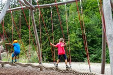
The apple country of South Tyrol is the topic of the 4 km long family-friendly Tirolo Apple Trail
Image gallery: Tirolo Apple Trail
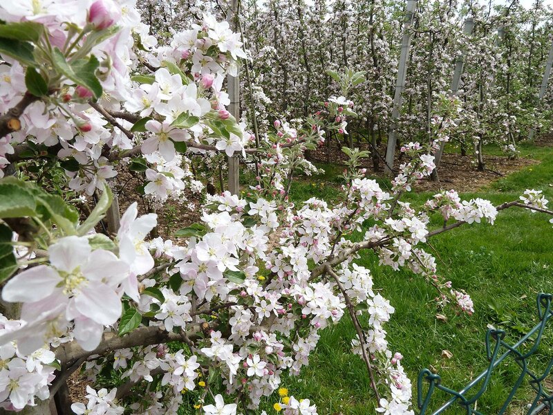

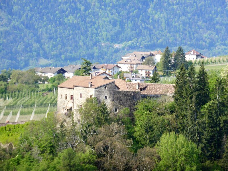
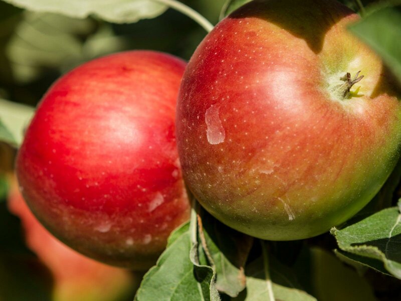
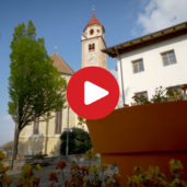
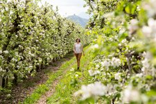
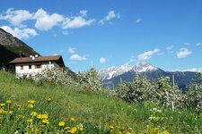
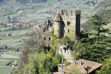
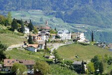
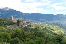
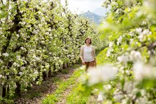
An easy circular hike takes families through the orchards of Tirolo village in the Merano region, a highlight that is particularly interesting at apple blossom time in spring and in autumn, when the ripe apples glow yellow and red. In about 1.25 hours, you will pass numerous apple trees and significant places such as the St. Rupert Church or Aura Castle. The view on the Merano countryside always remains unobstructed. The starting point of the hike is the tourist office.
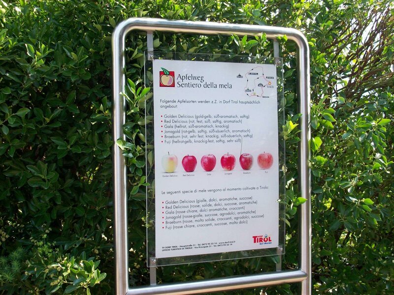
The various stations of the Tirolo Apple Trail - "Apfelweg Dorf Tirol" in German, "Sentiero delle Mele" in Italian - are especially something for the little hikers: They tell about South Tyrolean apples, the new and old varieties, and about all the things the apple farmer has to do so that a crisp apple can be harvested. There is another apple trail in Naz-Sciaves near Bressanone.
If you are interested in agriculture, we recommend a detour to the Agriculture Museum at Fontana Castle, also a family-friendly destination with some animals.
-
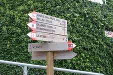
- Starting point:
- Tirolo
-
- Overall time:
- 01:30 h
-
- Total route length:
- 4,4 km
-
- Altitude:
- from 560 m to 724 m
-
- Altitude difference:
- +175 m | -175 m
-
- Signposts:
- Sentiero delle Mele (Apfelweg)
-
- Recommended time of year:
- Jan Feb Mar Apr May Jun Jul Aug Sep Oct Nov Dec
-
- Download GPX track:
- Tirolo Apple Trail
If you want to do this hike, we suggest you to check the weather and trail conditions in advance and on site before setting out.