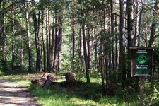
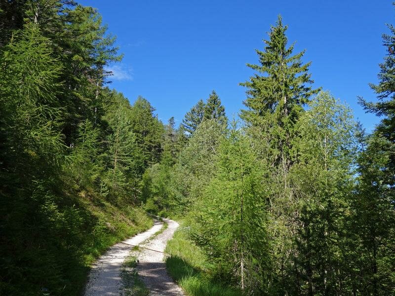
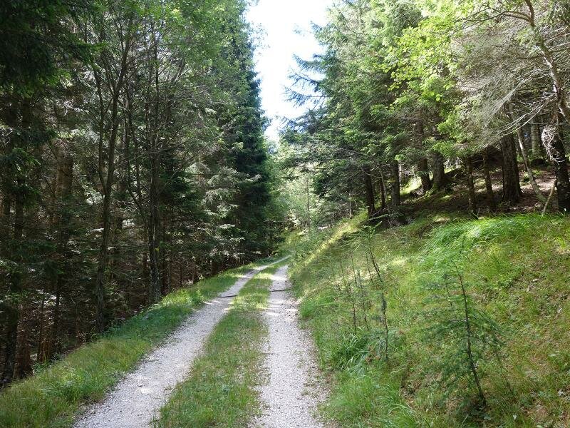
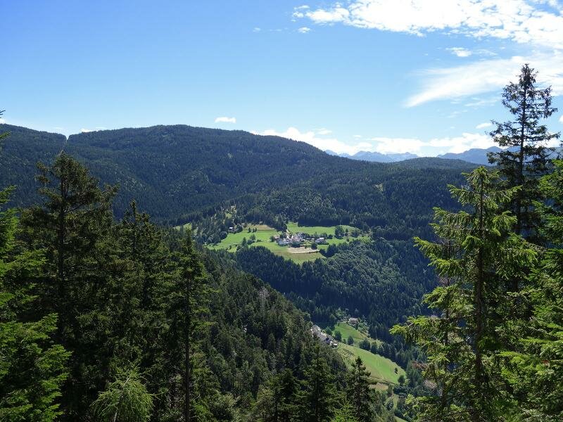
The gently ascending forest path to the Monte Madrutta mountain, which towers above the South Tyrolean Bassa Atesina, crosses an almost untouched forest landscape
Image gallery: Hike from Cauria to the Monte Madrutta
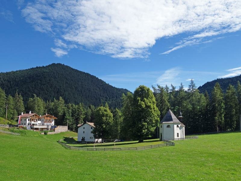
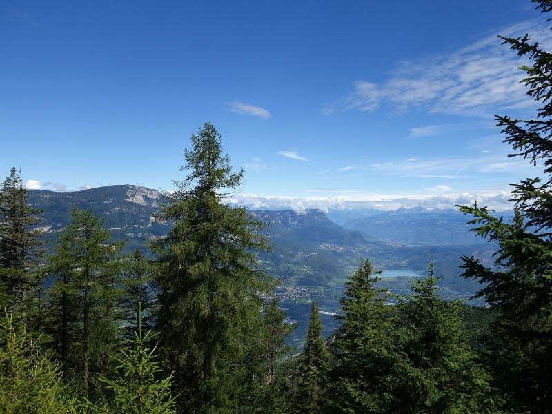
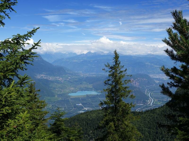
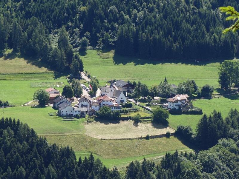
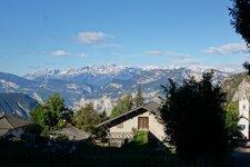
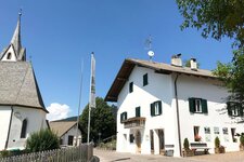
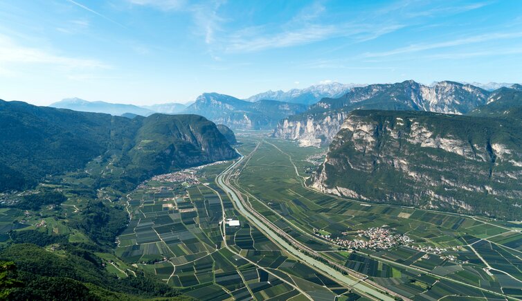
The mountain with the impressive limestone wall on the eastern side of the Valle dell'Adige valley, at the level of the village of Laghetti (Laag) between Egna and Salorno, is called Monte Madrutta (Madruttberg) and is part of the Monte Corno Nature Park. A nice walk leads from the small mountain village of Cauria (Gfrill) to a viewpoint just below the wooded summit of Mt. Madrutta.
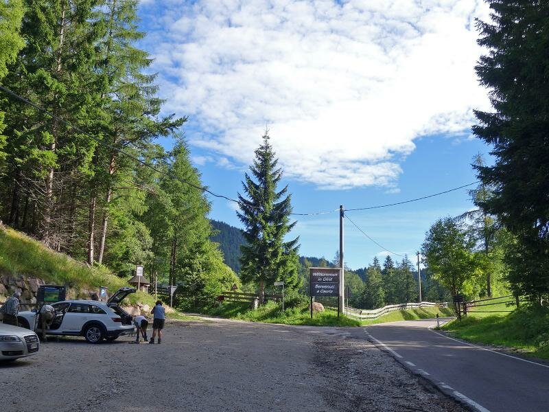
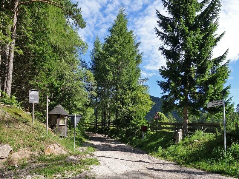
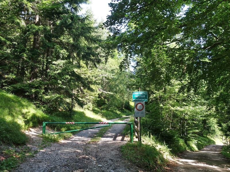
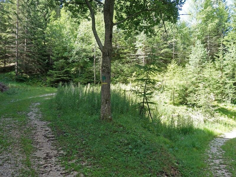
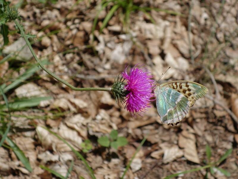
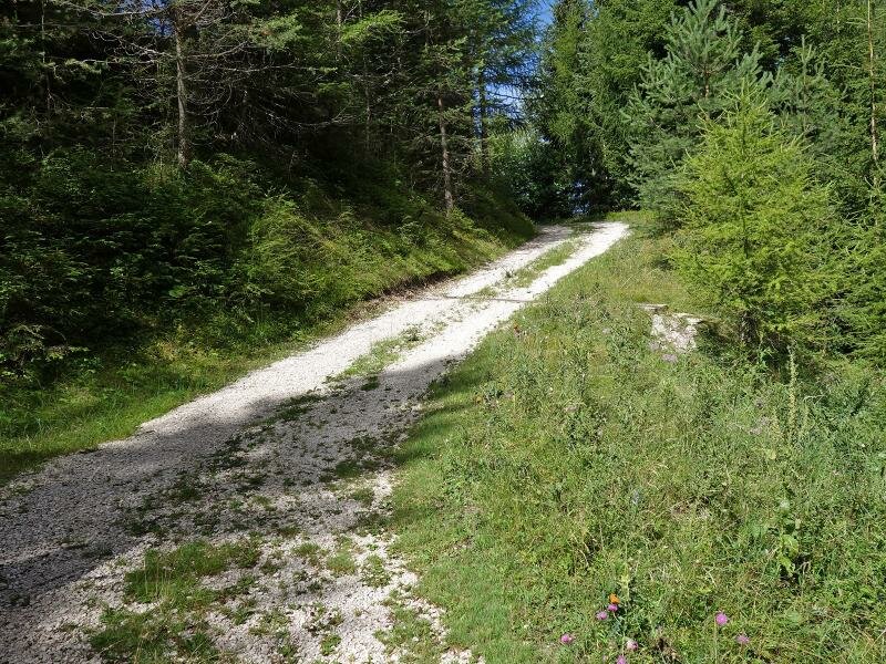
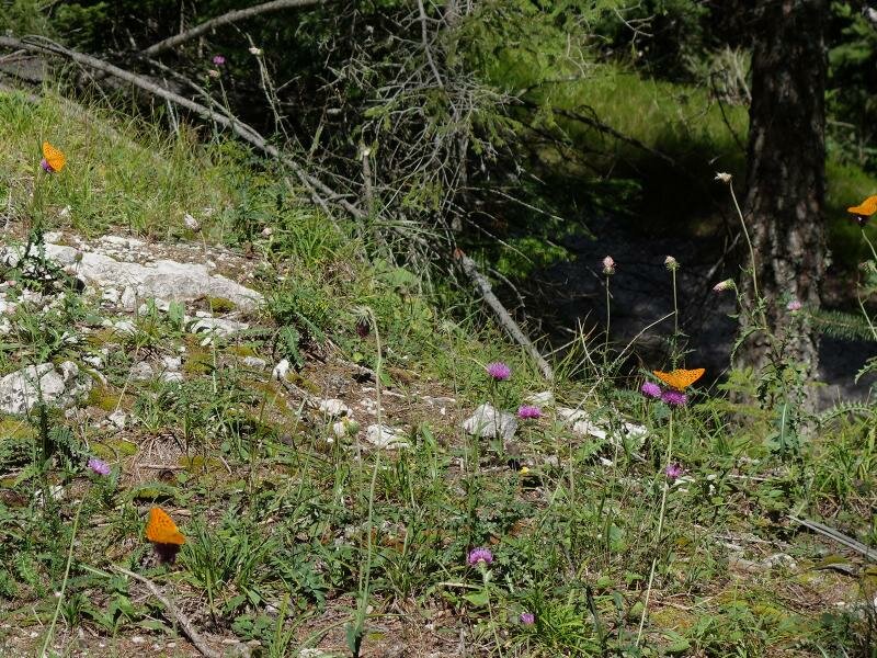
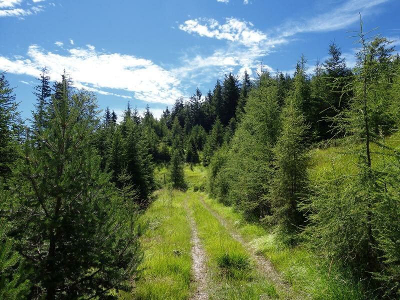
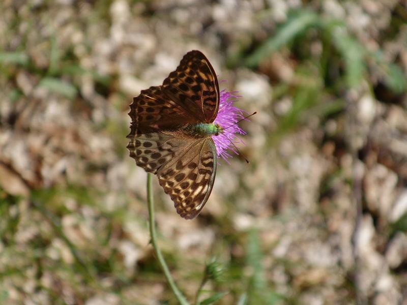
If you drive up the road from Salorno to Cauria, you will reach a car park at 1,260 m a.s.l. shortly before entering the village, which is located at the beginning of the meadows of the mountain village. Directly at the car park, the "Madrut" forest path branches off on the left. Following this gravel path, we reach the viewpoint at 1,500 m a.s.l. after about 4 km. It proceeds through an untouched forest landscape with small clearings, where plenty of wild flowers are blooming and numerous butterflies have their home.
The bench at the viewpoint (or a place on the clearing) can be used for a picnic. For our way back we take the same route. There are no refreshment stops along the way, but there is a bar in the village centre of Cauria near the starting point. The hike is recommended for all those who want to combine the peace and quiet of the forest with an easy walk. The track is suitable for prams.
Author: AT
-
- Starting point:
- car park "Maria in der Wies" before the entrance of the village of Cauria
-
- Overall time:
- 02:50 h
-
- Total route length:
- 8,6 km
-
- Altitude:
- from 1.259 m to 1.492 m
-
- Altitude difference:
- +251 m | -251 m
-
- Signposts:
- forest road "Madrut"
-
- Destination:
- Panoramic view point Madrut
-
- Recommended time of year:
- Jan Feb Mar Apr May Jun Jul Aug Sep Oct Nov Dec
-
- Download GPX track:
- Hike from Cauria to the Monte Madrutta
If you want to do this hike, we suggest you to check the weather and trail conditions in advance and on site before setting out.