Easy hike with little difference in altitude along a section of the E5 long-distance trail between the Trentino and the south of South Tyrol to the Potzmauer Mountain Hut
Image gallery: Hike to the Potzmauer Mountain Hut
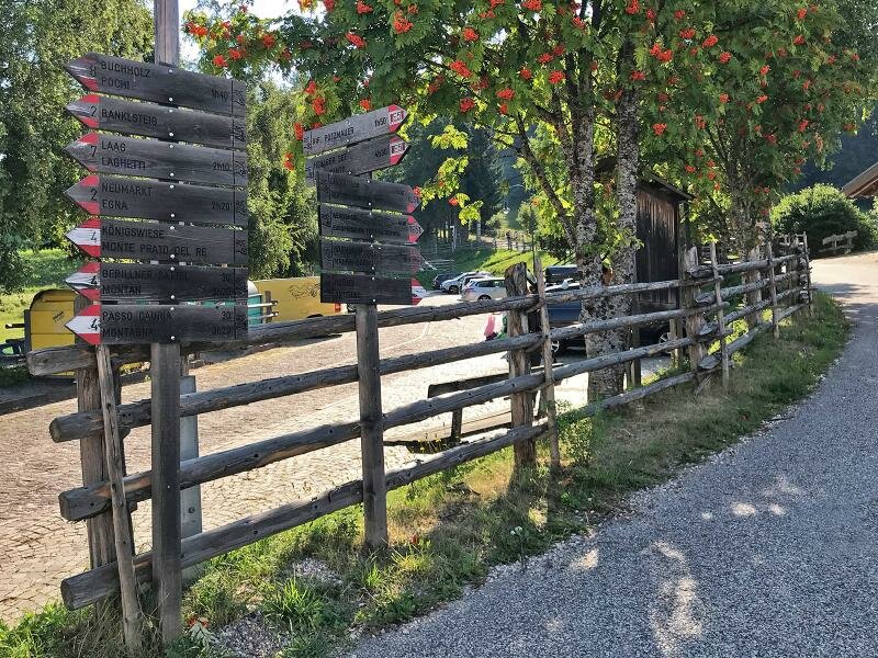
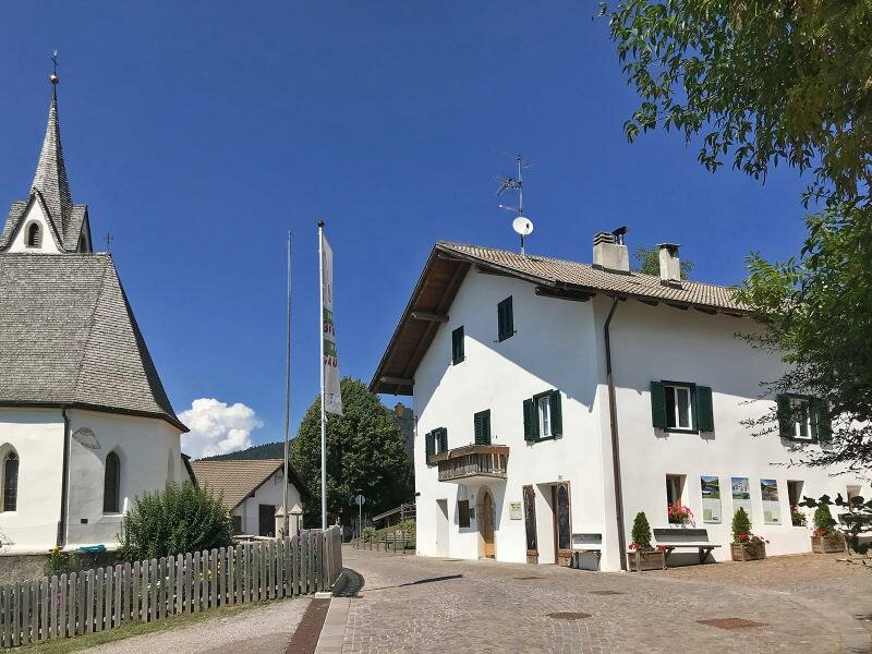
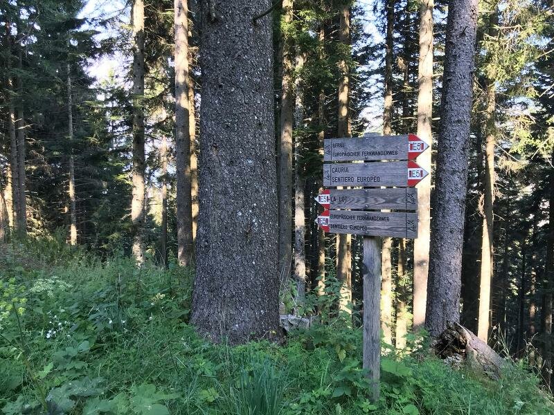
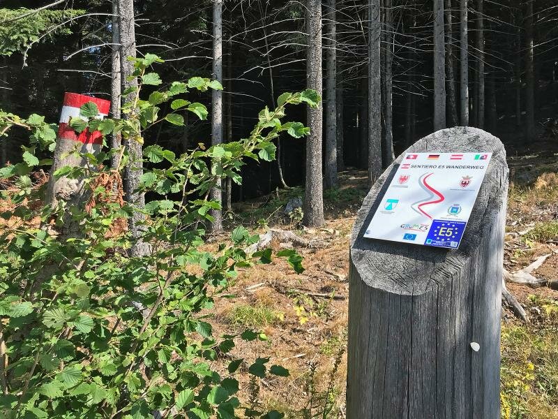
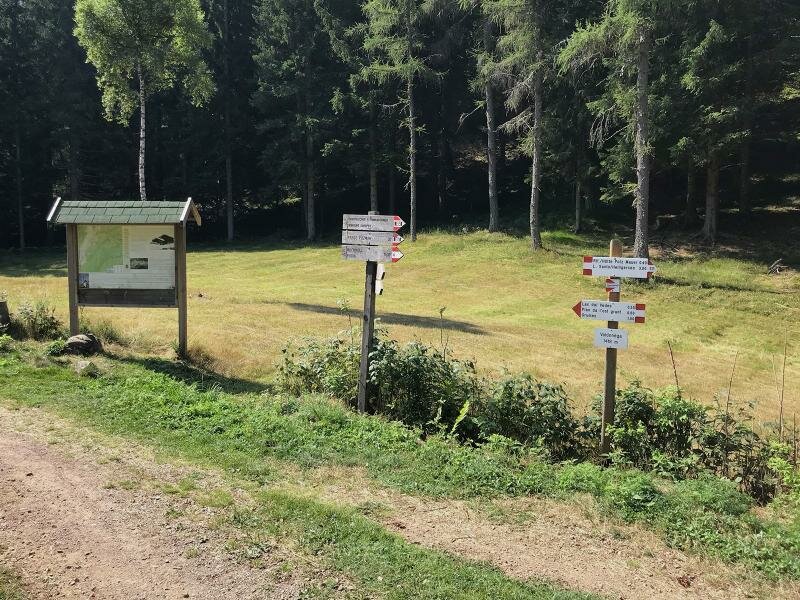
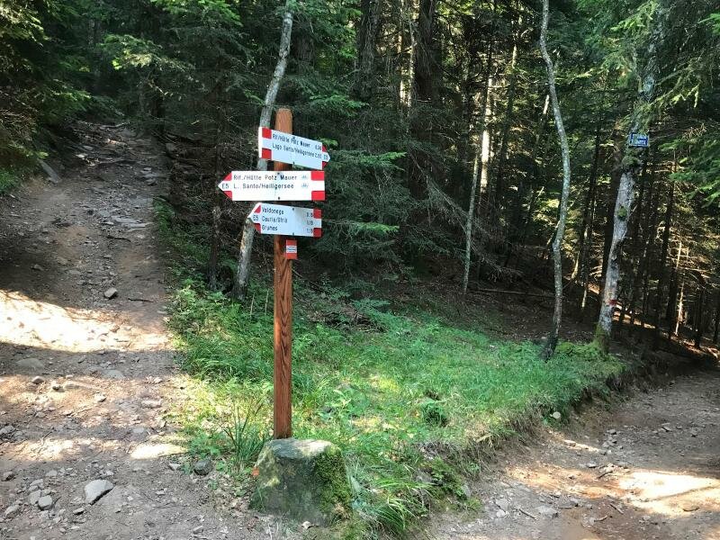
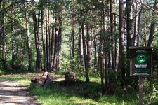
The forest slopes above Salorno (Salurn) not only represent the German language border, but also the watershed between the Valle dell'Adige and the Val ledi Cembra valleys and the administrative border between the South Tyrolean Bassa Atesina and the Trentino municipality of Altavalle. Anyone who travels along the European long-distance hiking trail E5 in this forest area will often cross this border without noticing. Starting point of our easy walking tour at the edge of the Monte Corno Nature Park is the mountain village of Cauria (Gfrill), which can be reached from Salorno via a mountain road. Straight at the car park in the village centre we find signposts - we follow the E5 towards south ("Potzmauer" - Lago Santo, Holy Lake).
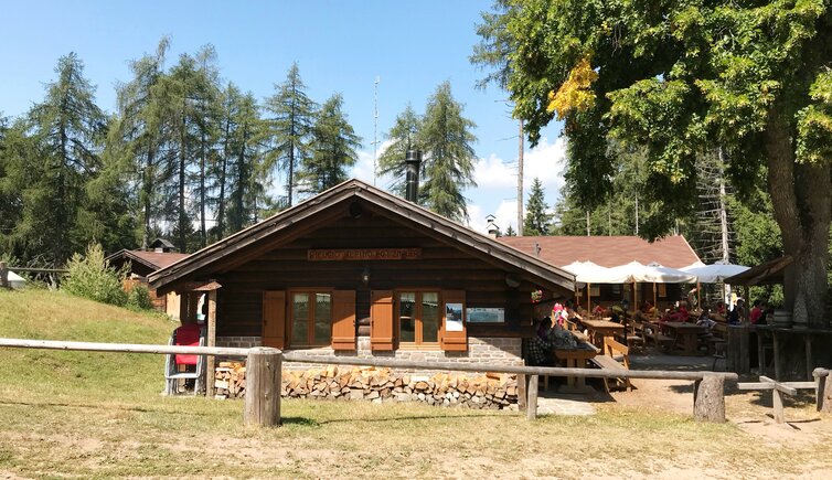
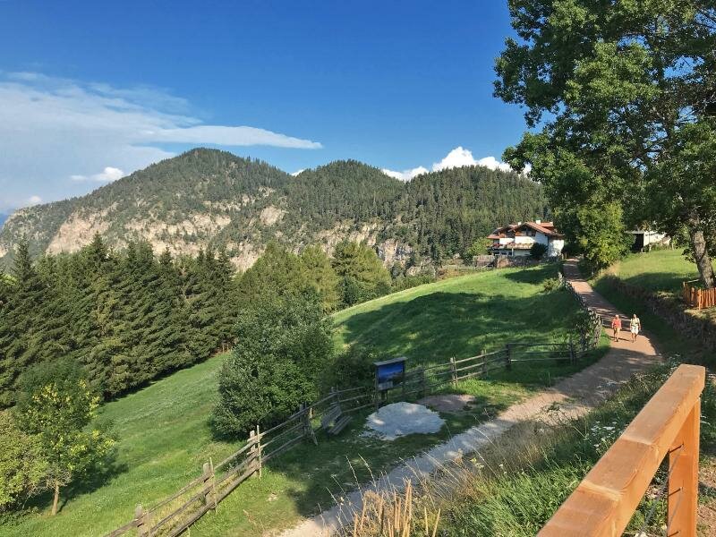
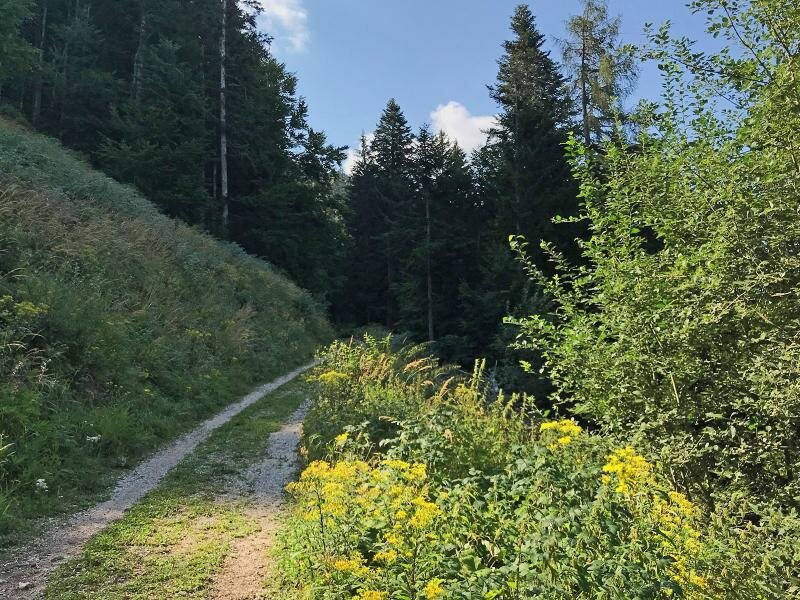
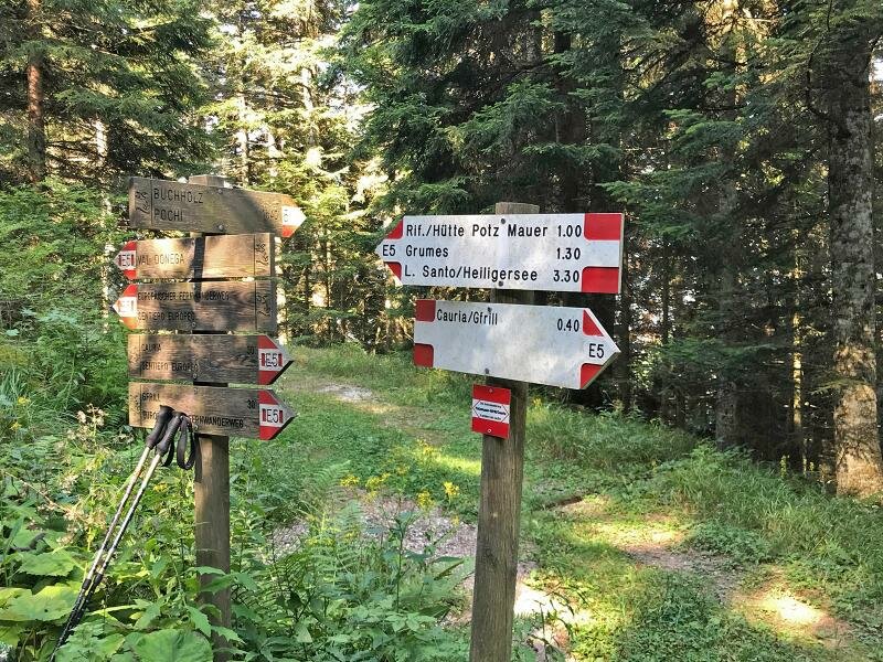
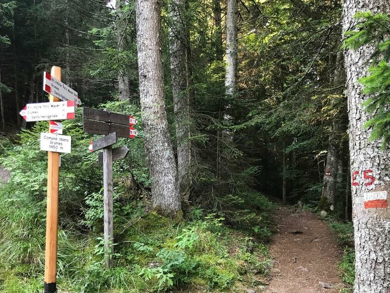
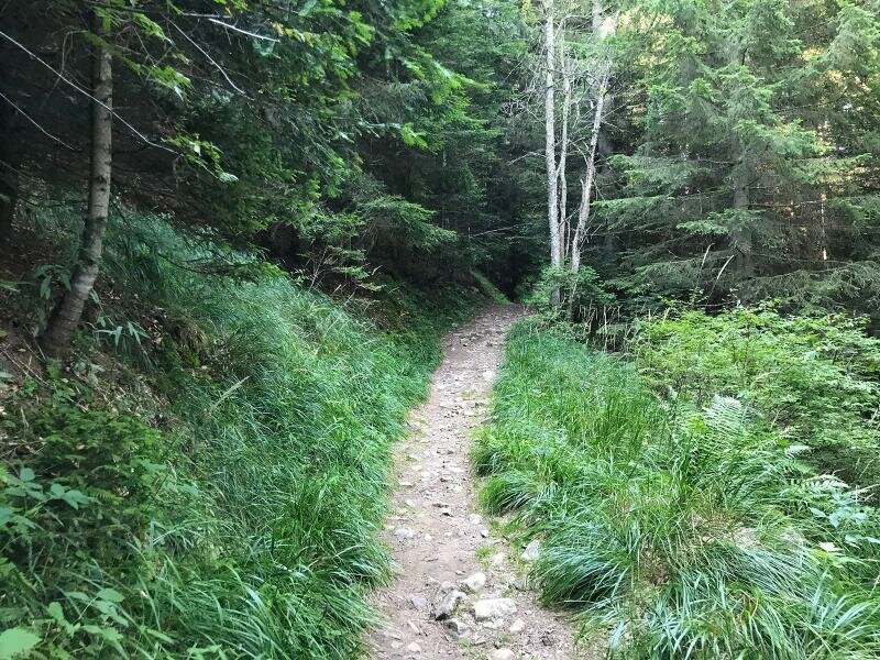
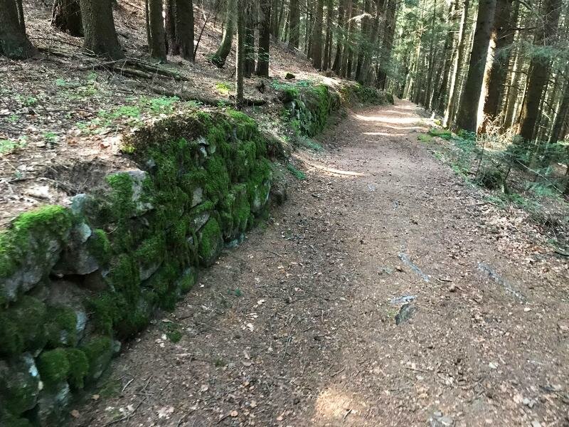
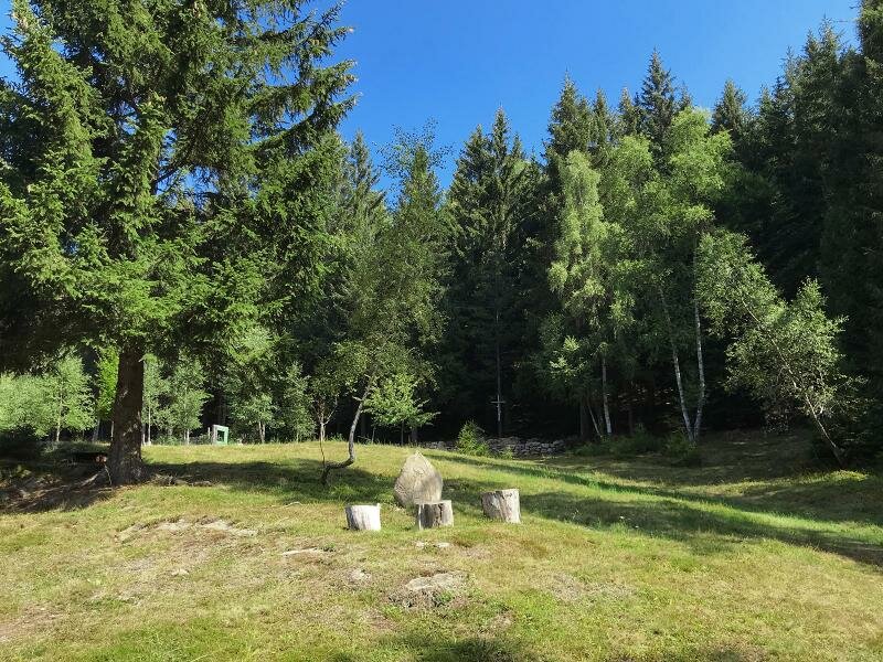
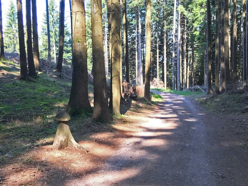
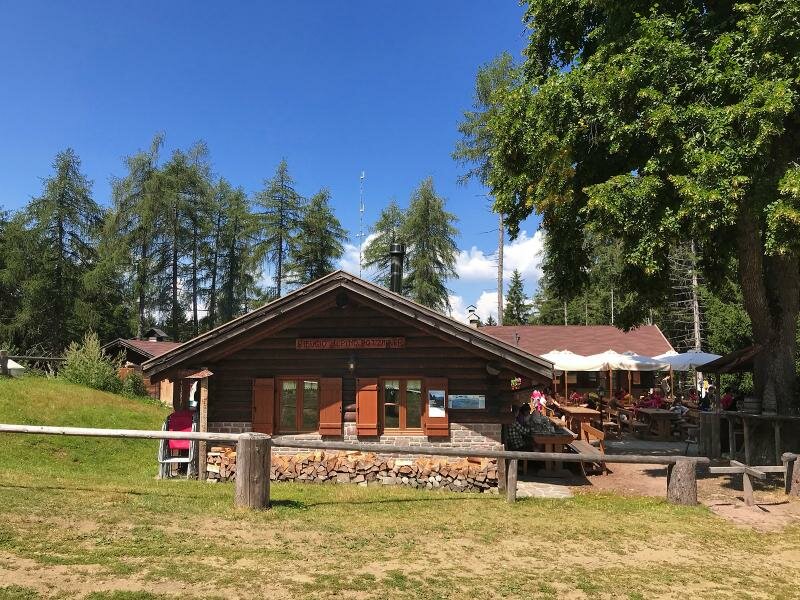
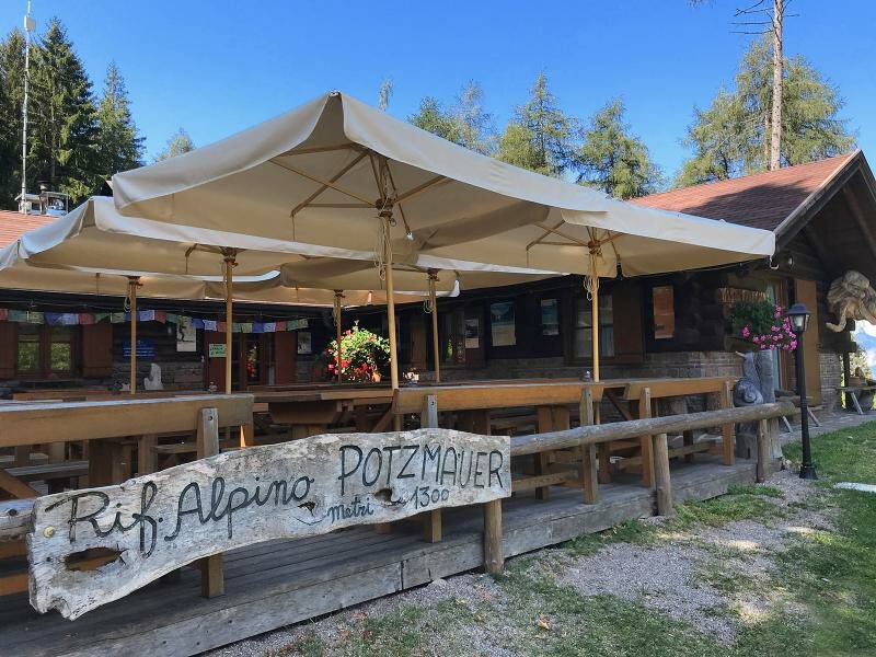
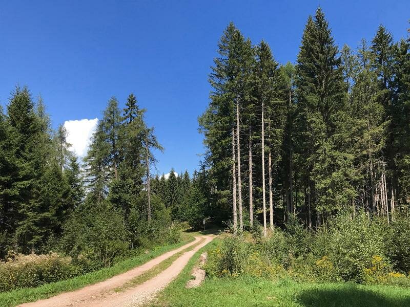
The E5, here also conforming with the "Sentiero Italia" path, is mostly built as a forest path. With little difference in altitude it proceeds through the mixed forest below the Dosso di Cauria hill and the Monte dell'Orso to the huts at the Pra Erto at the upper end of the Val Donega valley. From here it takes another 30 to 40 minutes to reach our final destination, the Potzmauer Mountain Hut. You can choose between the lower path or the better developed upper path. The Potzmauer Mountain Hut is already located on Trentino terrain and is the only refreshment stop in this area.
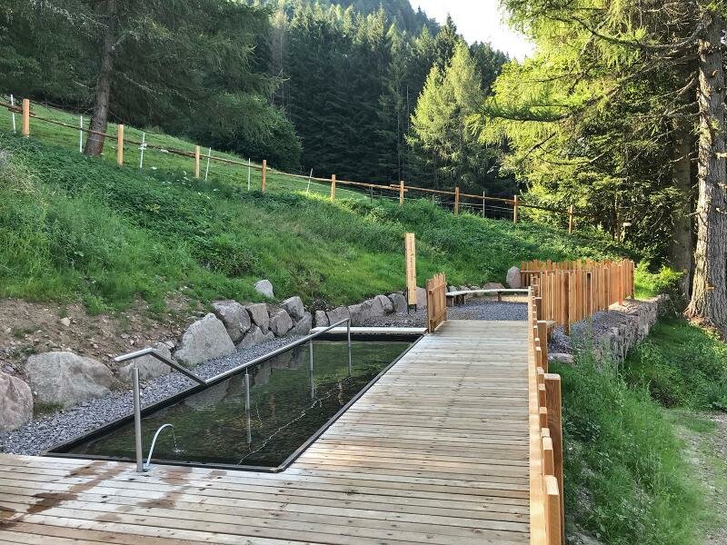
Here you can relax and enjoy the typical Trentino food. Later we return along the same route. We recommend taking the small detour via the Laghetto di Védes. The protected biotope includes a small lake with a surrounding peat bog landscape, a retreat for amphibians and various birds.
Author: AT
-
- Starting point:
- Cauria near Salorno, car park
-
- Overall time:
- 03:25 h
-
- Total route length:
- 11,4 km
-
- Altitude:
- from 1.303 m to 1.452 m
-
- Altitude difference:
- +316 m | -316 m
-
- Signposts:
- E5, Potzmauer
-
- Destination:
- Rifugio Potzmauer
-
- Resting points:
- Rifugio Potzmauer
-
- Recommended time of year:
- Jan Feb Mar Apr May Jun Jul Aug Sep Oct Nov Dec
-
- Download GPX track:
- Hike to the Potzmauer Mountain Hut
If you want to do this hike, we suggest you to check the weather and trail conditions in advance and on site before setting out.