Easy but demanding mountain hike from the Alpe di Villandro to the two peaks in the Alpi Sarentine
Image gallery: Mountain tour Monte Villandro and Sarentino Ridge
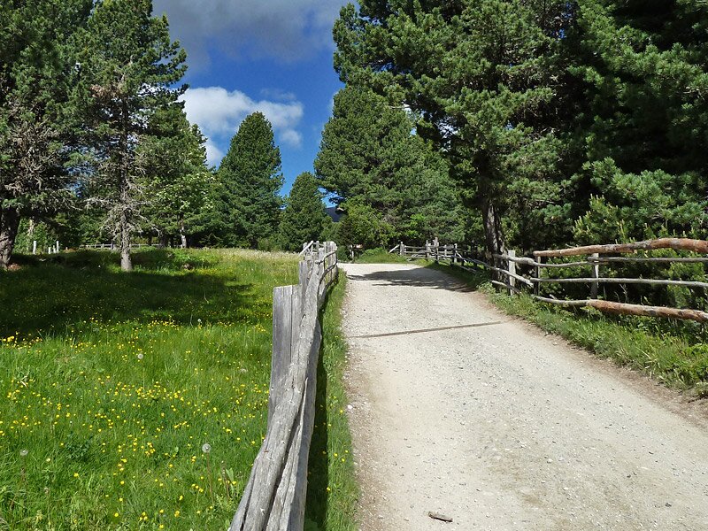
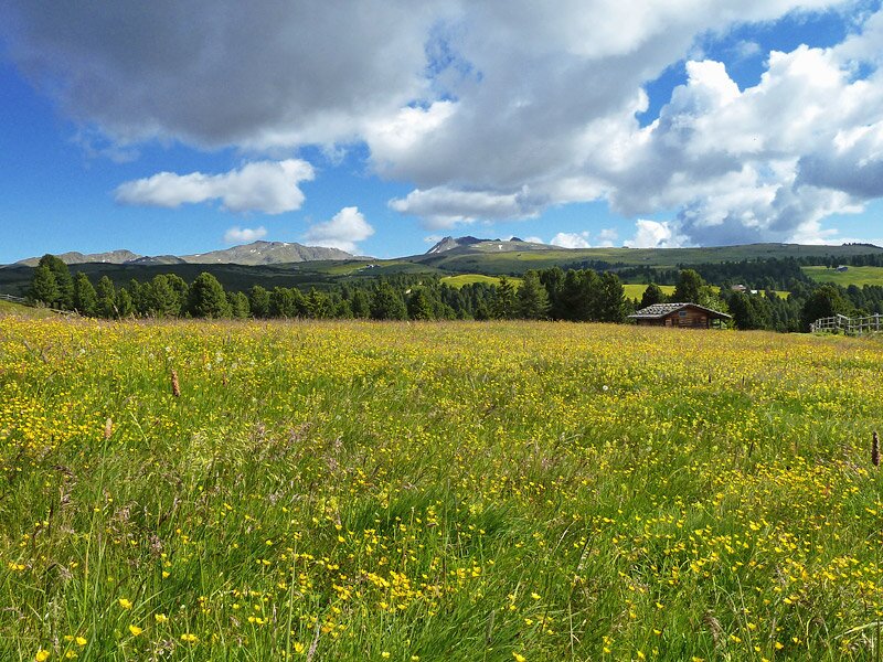
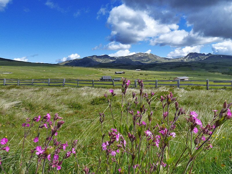
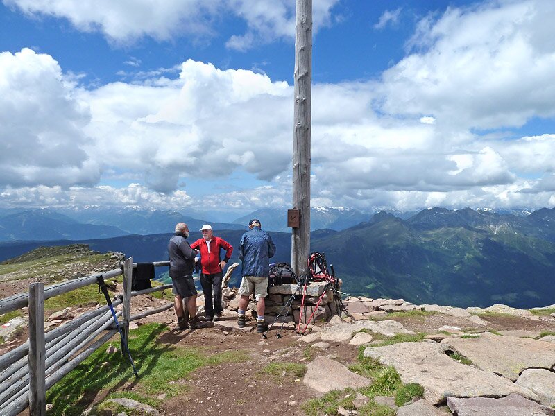

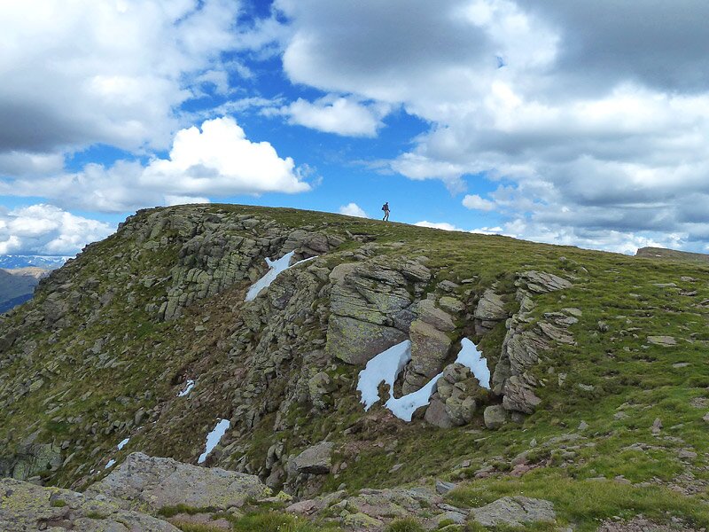
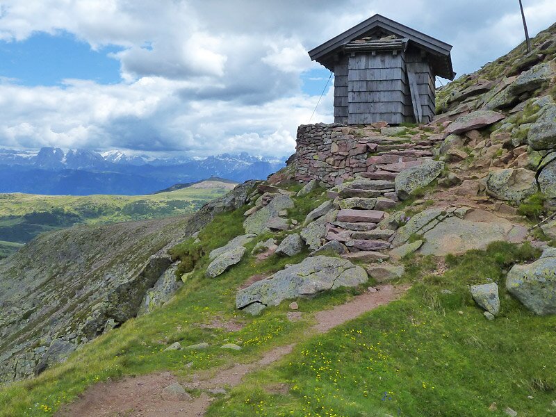
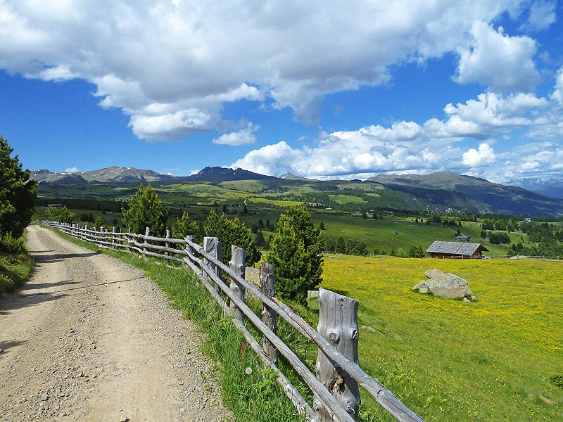
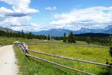
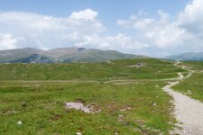
Our starting point is the parking space at the Gasserhütte (mountain hut), above the village of Villandro (Villanders, 1,760 m a.s.l.). We follow the marker no. 6 towards west, to the small Church of the Death "Totenkirchl". Through blooming alpine meadows, past smart chalets and mountain pines the path proceeds lightly up to the church which is located at the border to the Val Sarentino. Here the path to the top of the Monte di Villandro starts. The marker no. 2A leads us up to the "Totensee" and to the "Ochsenlücke". Now we have climbed the Table Mountain and walk through the barren rocky and grassy landscape up to the summit cross.
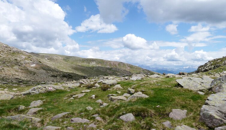
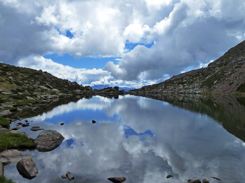
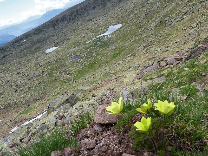
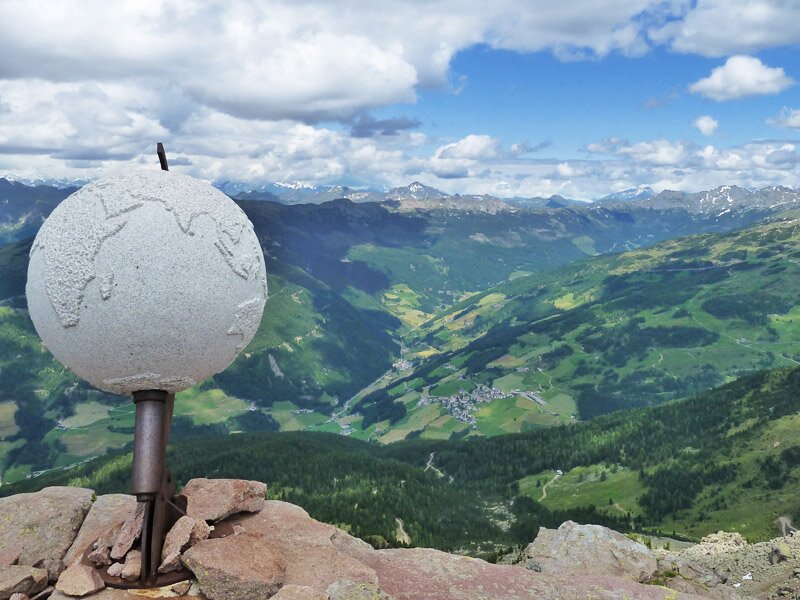
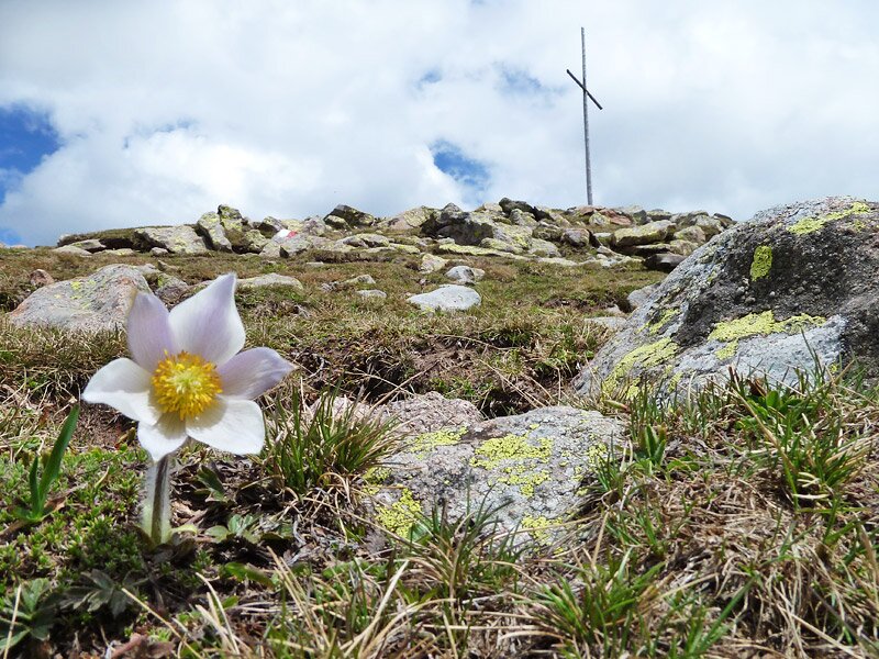
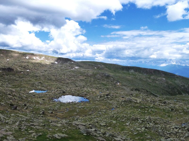
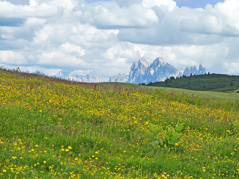
A virgin and wild nature welcomes us up here, at 2,500 m asl. The powerful colours of mountain primroses, anemones, rhododendron, azaleas and gentian and the silence which is only interrupted by the whistle of the marmots and ermines create a unique ambiance. We find also several small tarns in which the sky is reflected. From the peak we have a splendid view on the Val Sarentino with the village of San Martino/Reinswald. Our next goal is the peak of the Forcella Sarentina/Sarner Scharte. Unfortunately the visibility is not that good today, but we can see the mountains afar, from the main chain of the Alps until the Monte Baldo at Lake Garda.
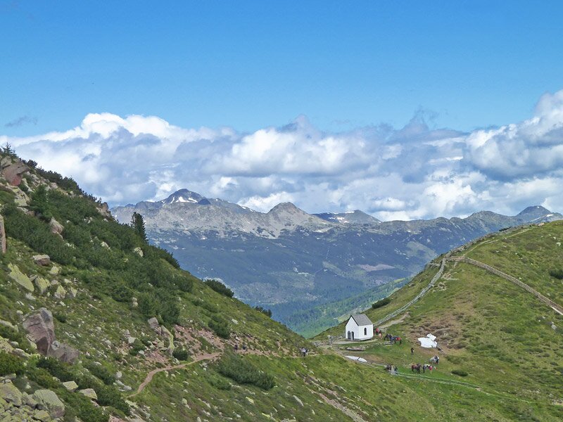
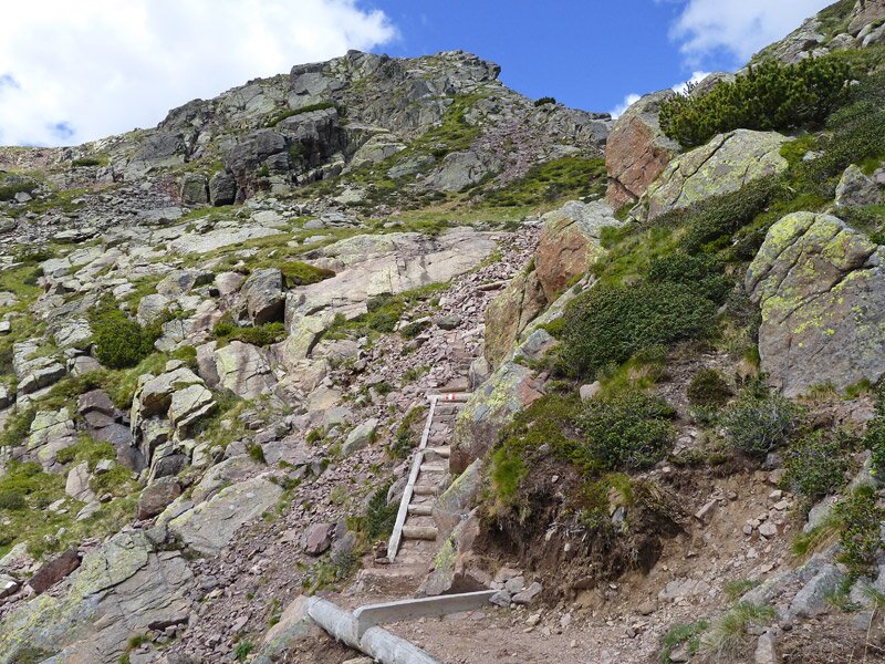
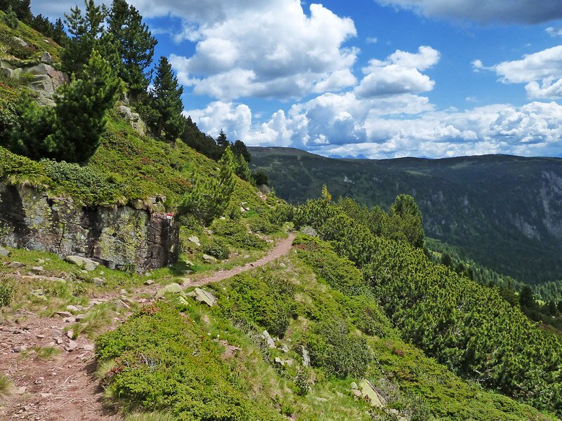
To climb down we have to take the path no. 3. Till here the paths were quite in good condition but now a bit difficult section follows down to the bivouac and further through rocky landscape until the “Gasteiger Sattel”. The last part to the Moar in Plun mountain hut (marker no. 7A) is again comfortable to walk. After a rest at the mountain hut we walk down the last km to the parking space. A quite exhausting because long hike is finished, but we were rewarded by the wild beauty of the Alpi Sarentine and the gorgeous nature of the Alpe di Villandro.
Author: AT
-
- Starting point:
- parking space Gasserhütte mountain hut (chargeable)
-
- Overall time:
- 06:00 h
-
- Total route length:
- 17,8 km
-
- Altitude:
- from 1.753 m to 2.508 m
-
- Altitude difference:
- +818 m | -818 m
-
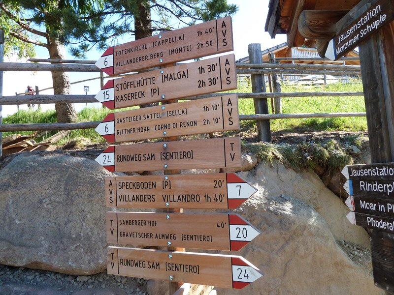
- Signposts:
- no. 6, 2A, 2, 3, 7A, 6
-
- Destination:
- Monte Villandro, Forcella Sarentina (Villanderer Berg, Sarner Scharte)
-
- Resting points:
- Pfroder Alm, Mair in Plun
-
- Recommended time of year:
- Jan Feb Mar Apr May Jun Jul Aug Sep Oct Nov Dec
-
- Download GPX track:
- Mountain tour Monte Villandro and Sarentino Ridge
If you want to do this hike, we suggest you to check the weather and trail conditions in advance and on site before setting out.