Beautiful hike of about 5 hours through the Burgumtal valley to the self-catering hut below the Picco della Croce (Wilde Kreuzspitze)
Image gallery: Hike to the Vipiteno Mountain Hut
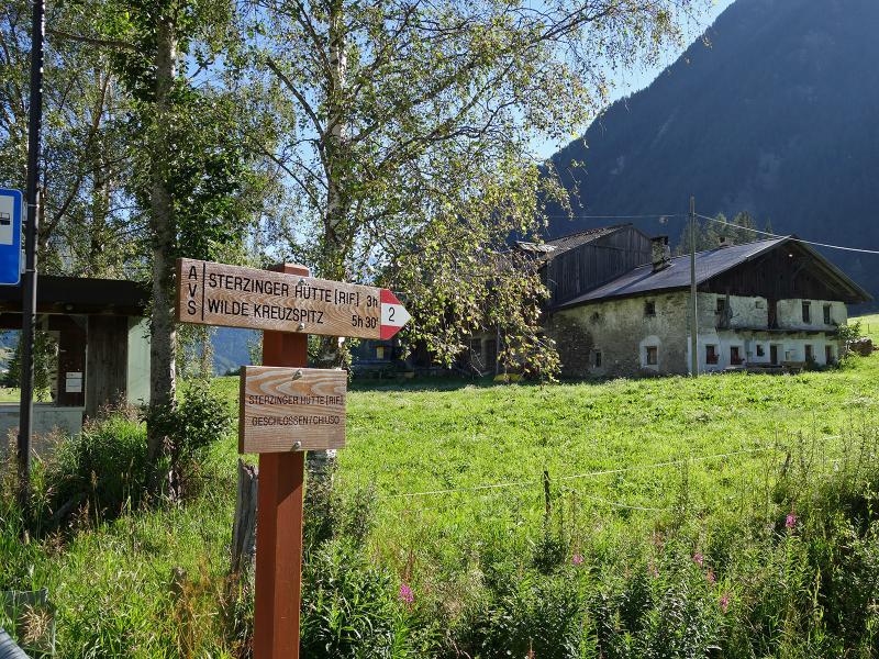
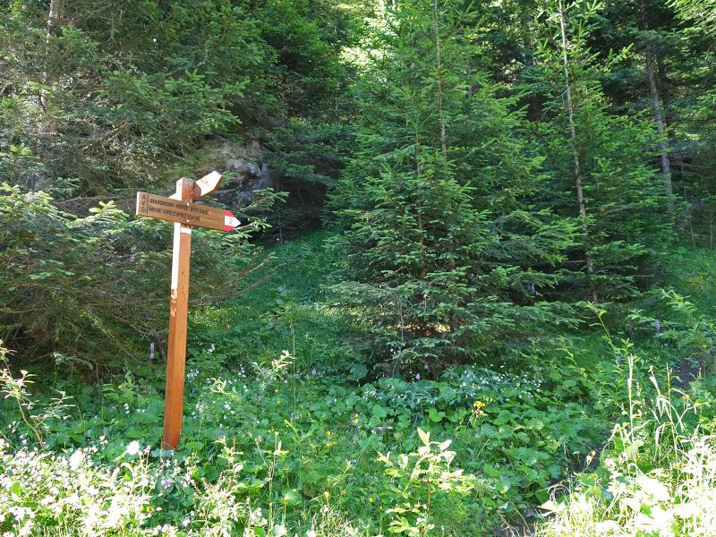
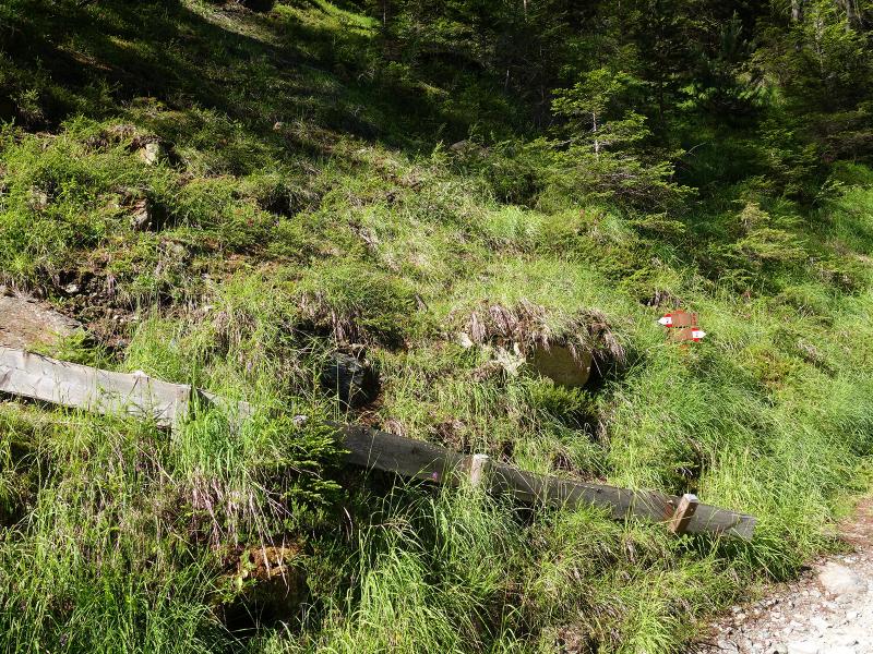
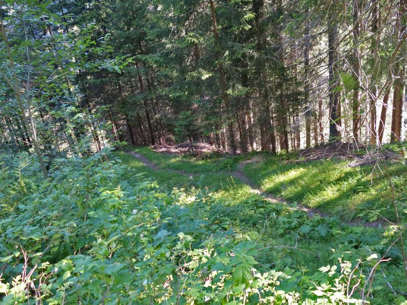
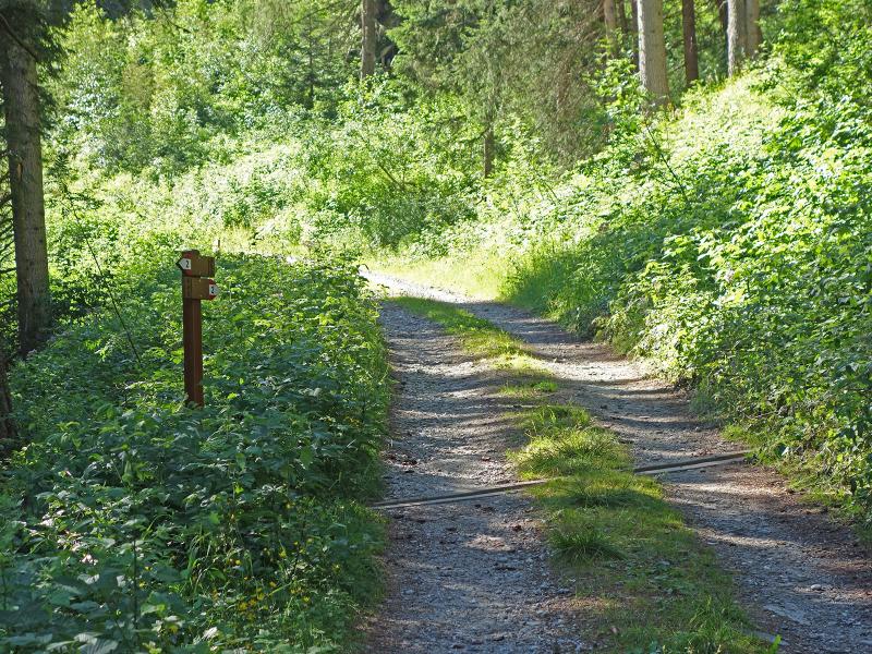
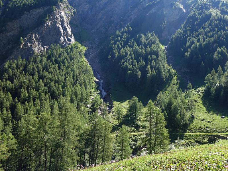
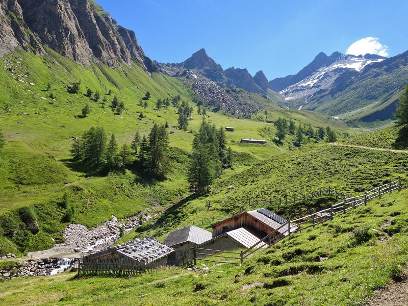
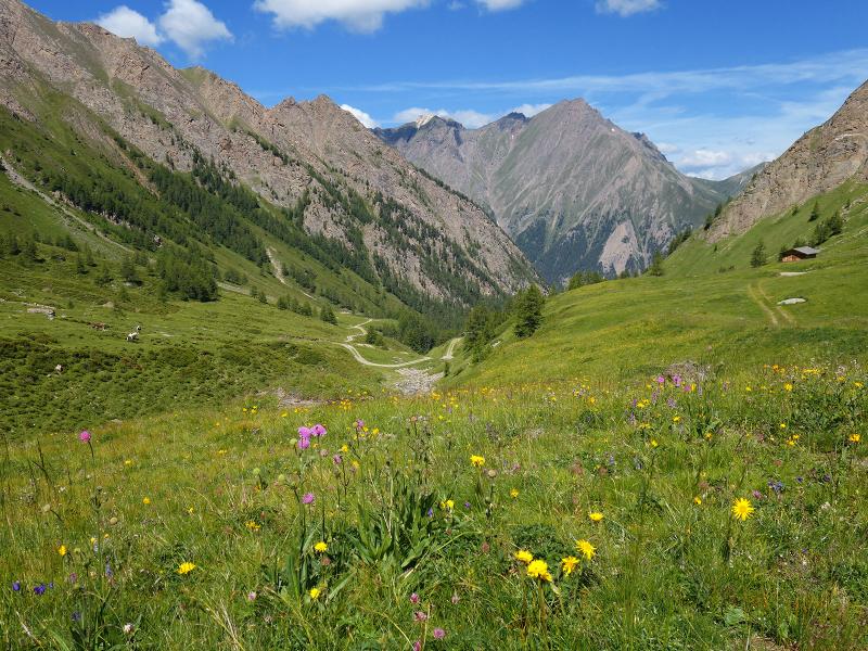
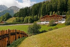
The Burgumer Tal is a side valley of the Val di Vizze in the northern Fundres Mountains. The starting point is the bus stop in the hamlet of Burgum, which is located between Avenes (Afens) and Caminata (Kematen) in Vizze di Fuori (Außerpfitsch). The hike follows the alpine road, which from here leads to the meadows of the Malga Burgumer Alm. Path no. 2 partly follows this gravel path and shortens the route with sections on forest paths.
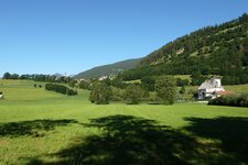
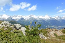
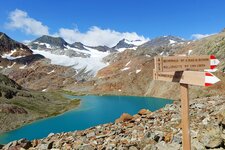
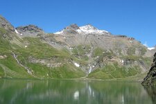
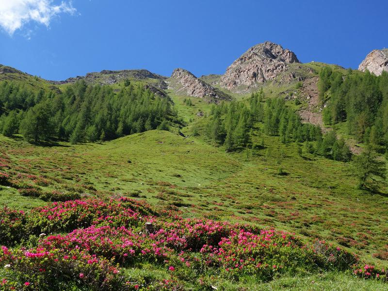
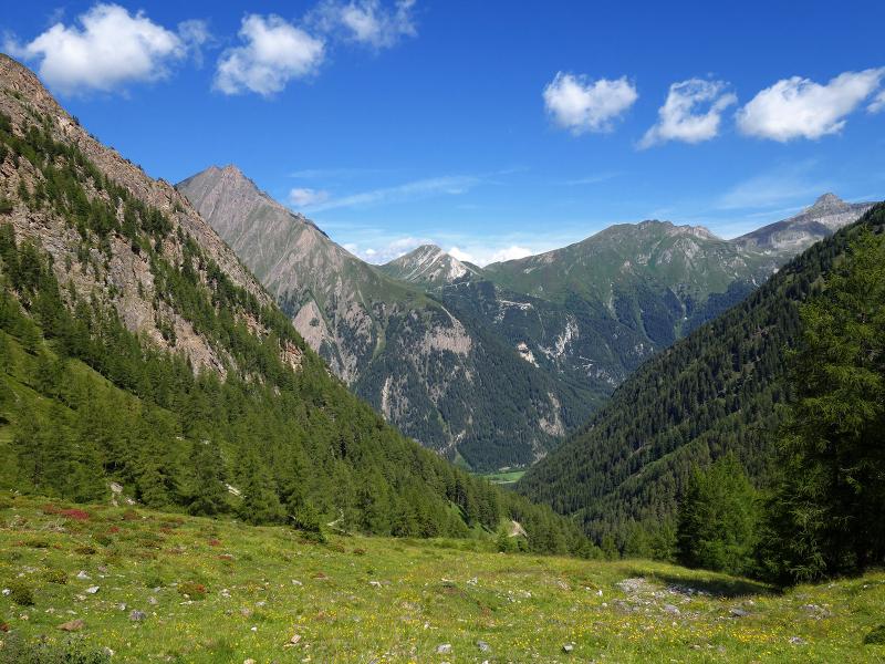
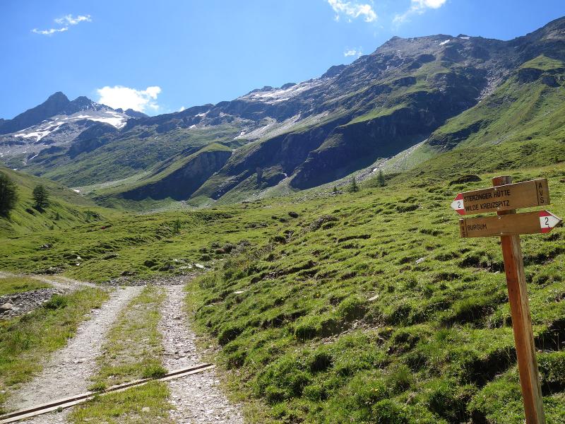
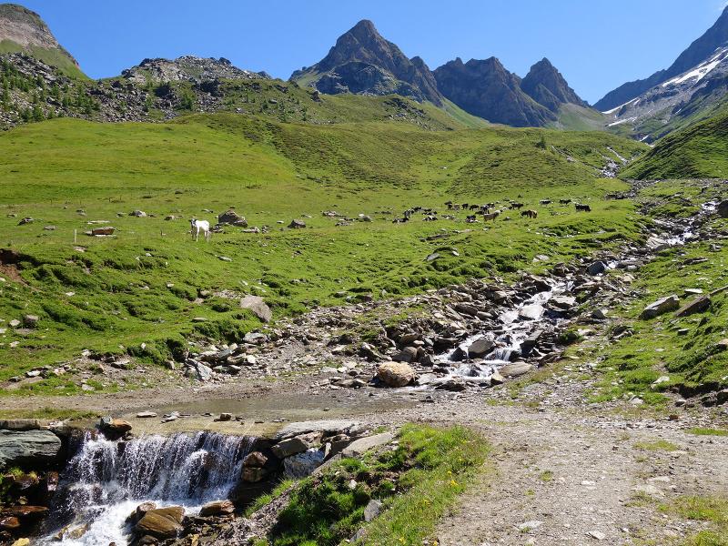
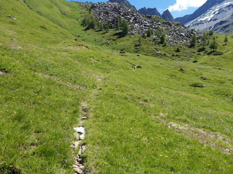
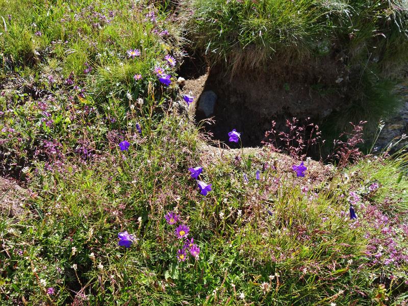
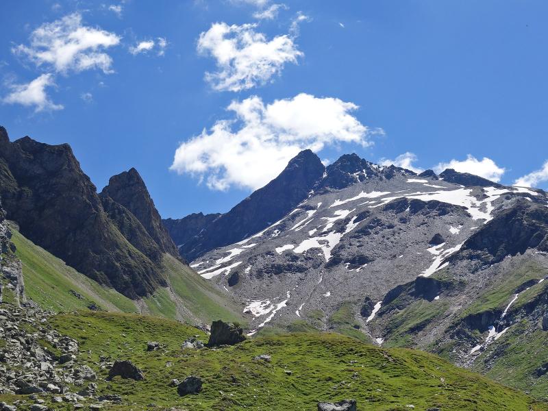
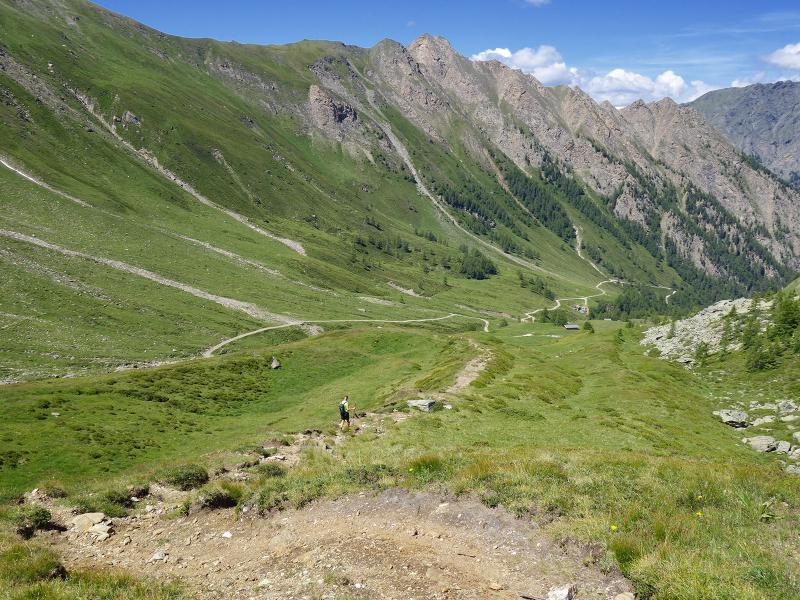
We walk through the forest until we reach the first meadows of the alpine pasture. At the top, the view opens up over the mountains that surround the valley: Drasbergspitz - Monte Grande, Leitnerwand - Croda delle Coste, Übersail - Cima del Cavo, Ochesenkopf - Cima Alpe di Bove, Kramerspitz - Cima del Lago and Ebengrubspitz, and, at the end of the valley, the Picco della Croce - Wilde Kreuzspitze. It is the highest point of the Fundres Mountains and can be reached by extending this tour. Path no. 2 now takes us to the Burgumer Almen alpine pastures.
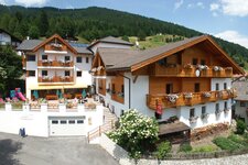
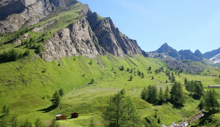
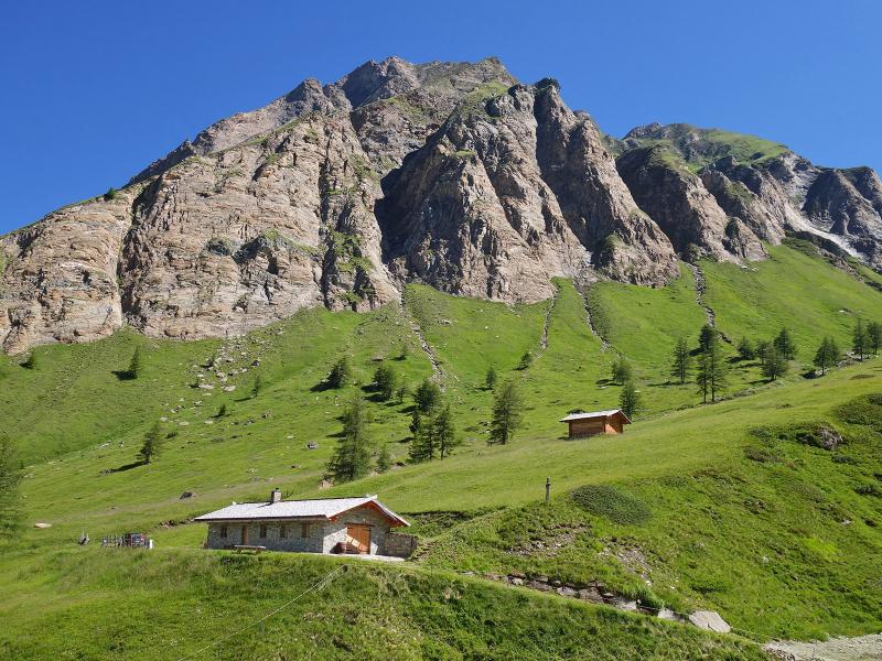
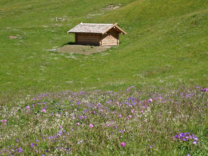
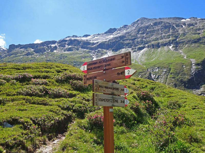
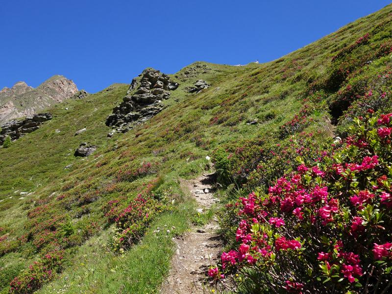
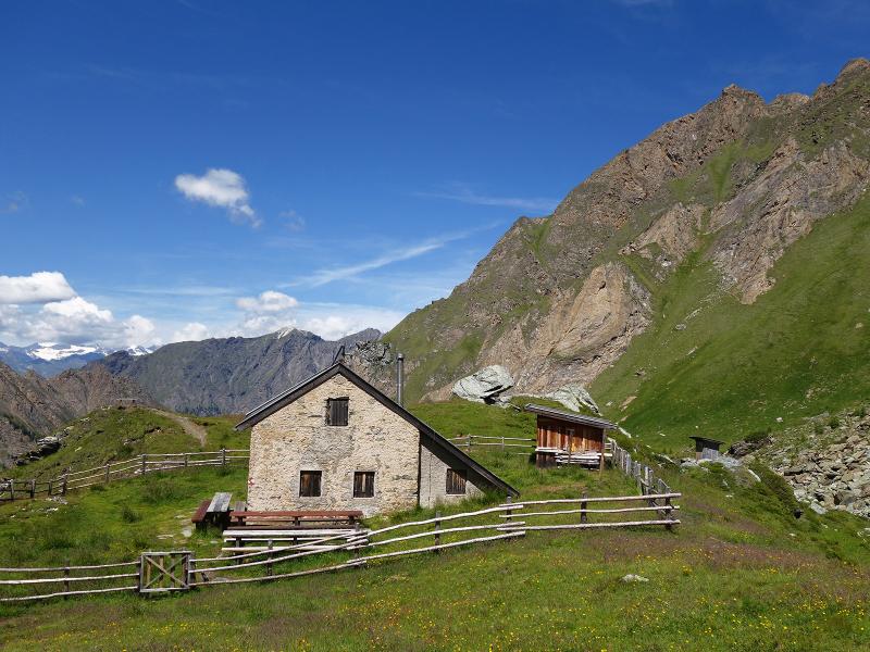
Blooming meadows and slopes with alpine roses characterise the picture, goats and cows graze on the pastures. The alpine road ends at a wooden hut - now we follow a narrow path for the last part up to the Rifugio Vipiteno (Sterzinger Hütte). For some years now, the hut has not had an innkeeper, but it has a keeper, where you can apply for the key for overnight stays. Fortunately we have provisions in our backpack, because after 3 hours of walking uphill the stomach is growling and in this area there is no place to stop for refreshments far and wide.
Author: AT
-
- Starting point:
- Vizze, hamlet of Burgum
-
- Overall time:
- 05:00 h
-
- Total route length:
- 12,2 km
-
- Altitude:
- from 1.380 m to 2.344 m
-
- Altitude difference:
- +964 m | -964 m
-
- Signposts:
- no. 2
-
- Destination:
- Rif. Vipiteno (Sterzinger Hütte)
-
- Recommended time of year:
- Jan Feb Mar Apr May Jun Jul Aug Sep Oct Nov Dec
-
- Download GPX track:
- Hike to the Vipiteno Mountain Hut
If you want to do this hike, we suggest you to check the weather and trail conditions in advance and on site before setting out.