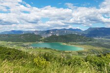
Along the lake and up through the forest to the ruins of Castelchiaro, which can already be seen from Lake Caldaro
Image gallery: Spring hike to the Castelchiaro Fortress
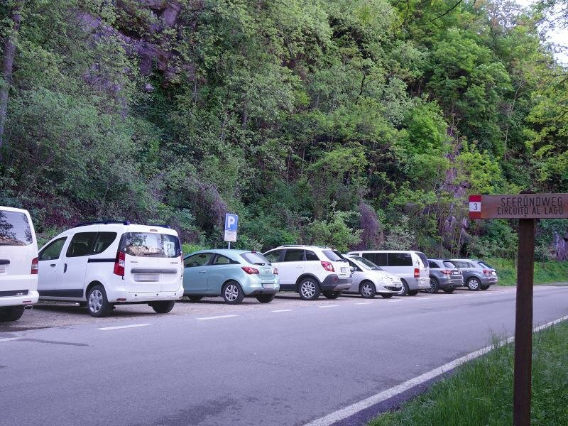
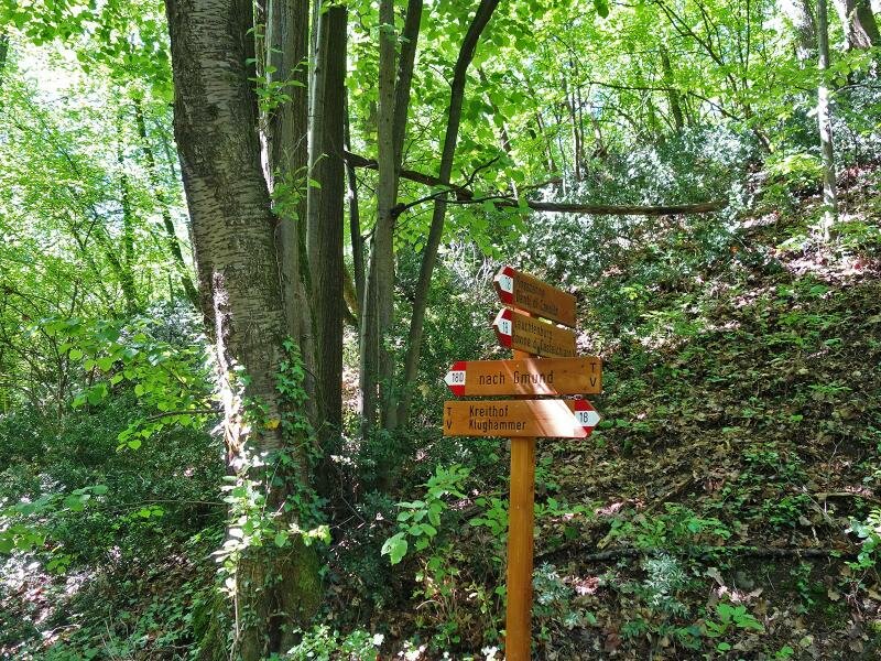
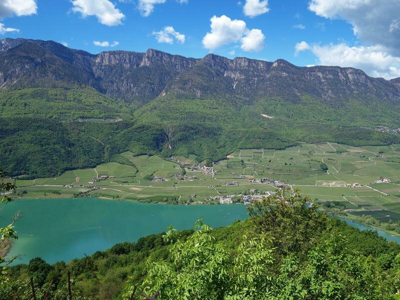
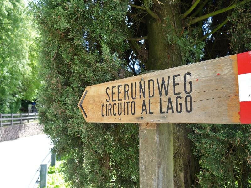
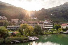
From the car park at Campi al Lago south of Lake Caldaro ("Seerundweg"), we walk south along the road at the foot of the mountain. Walking past a barracks, we reach Monte (Gmund). This is a small settlement that belongs to the municipality of Vadena and lies directly below the southern slope of the Monte di Mezzo. Vadena itself is located on the other side.
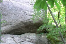
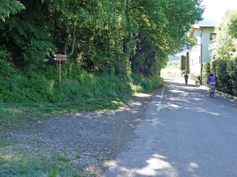
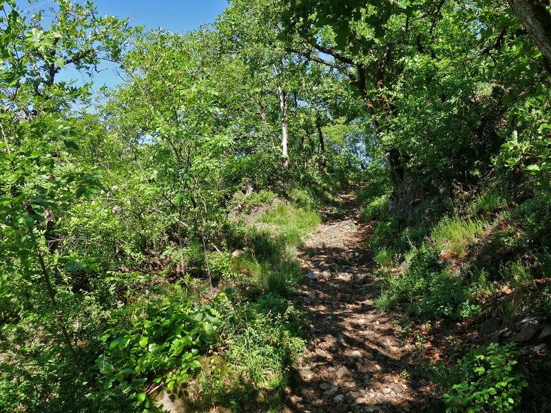
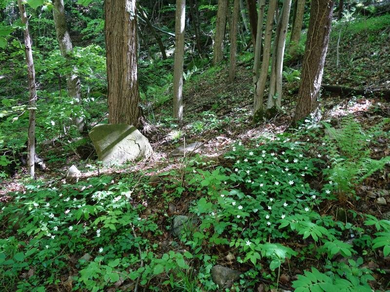
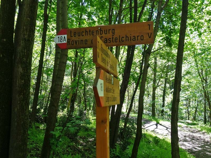
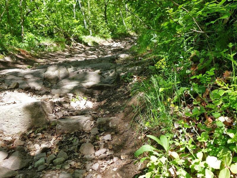
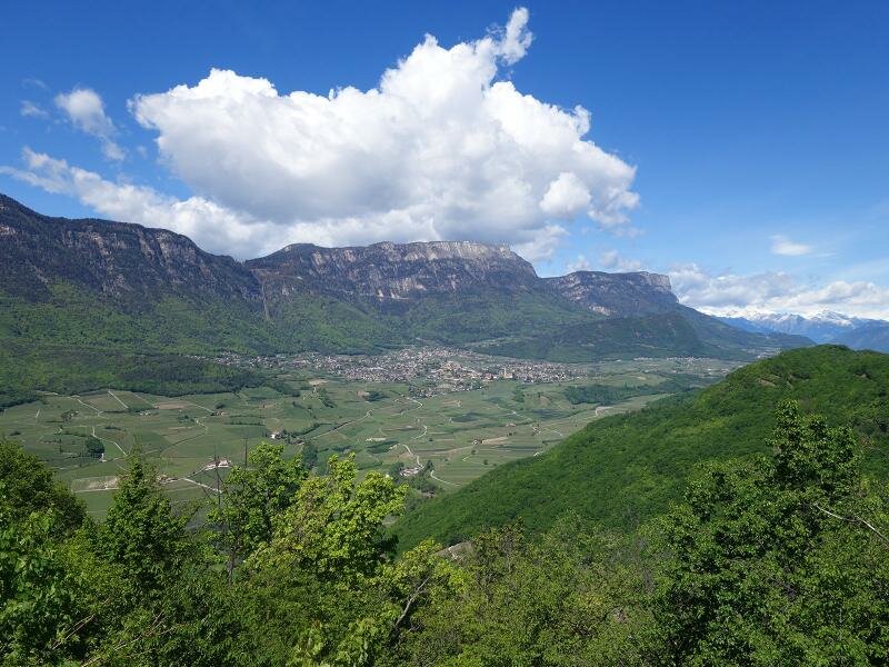
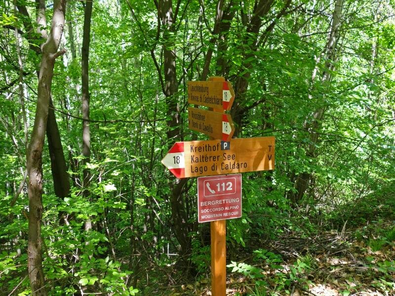
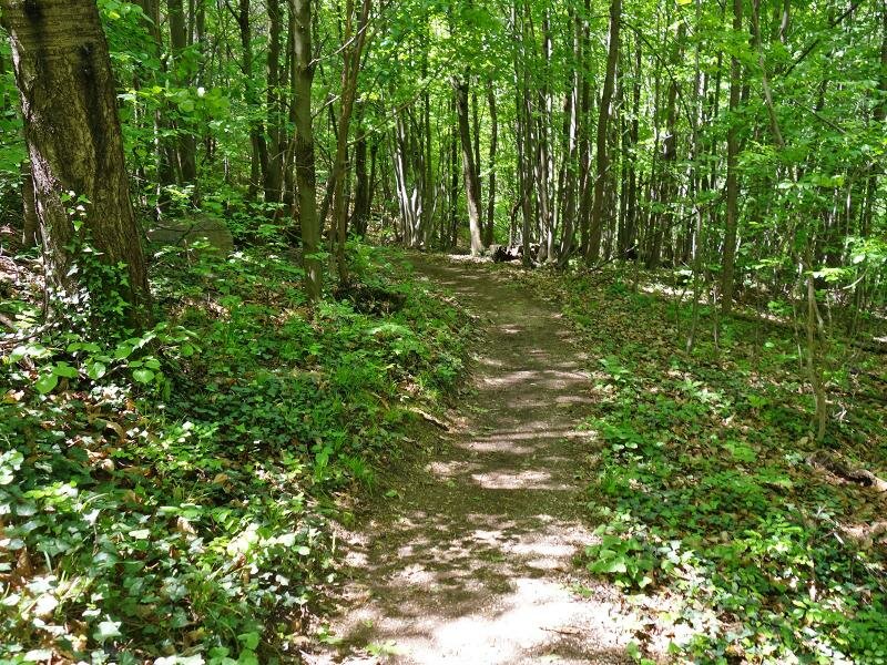
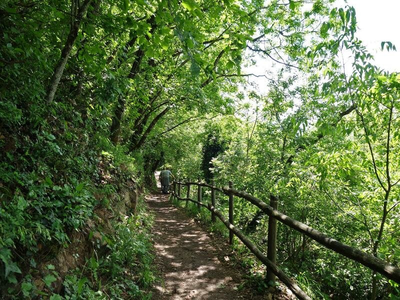
Trail no. 18c is signposted on the left side of the road. A narrow path takes us upwards through steep terrain in the deciduous forest. We reach a porphyry rock landscape below the Horse Teeth rock formation above the Bassa Atesina area. Clearings in the forest allow us to see as far as Termeno on the Wine Road to the west and Ora to the east.
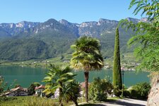
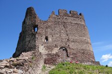
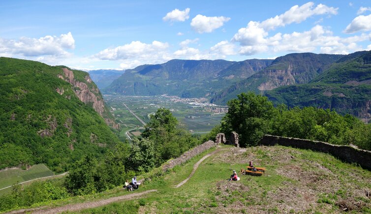
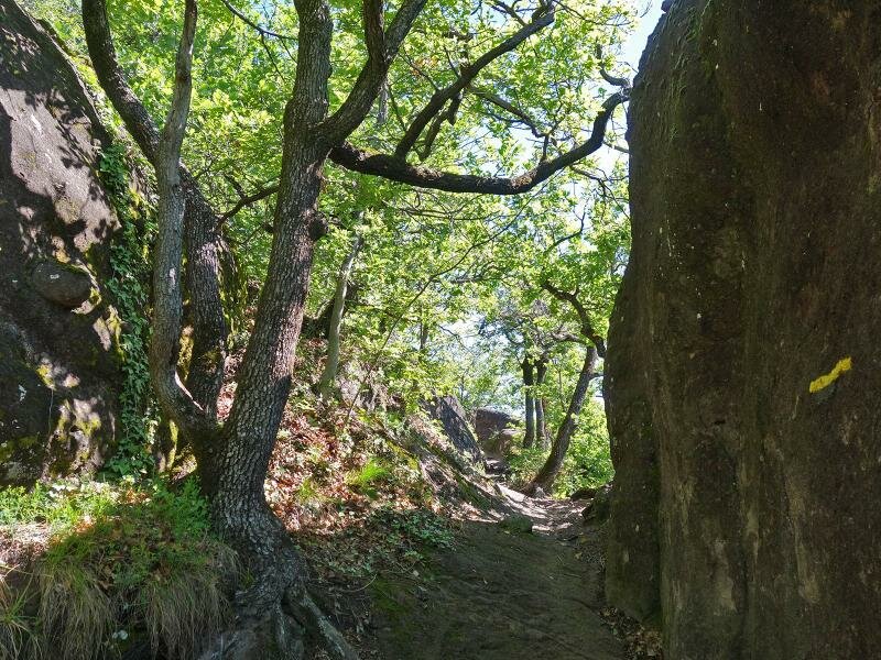
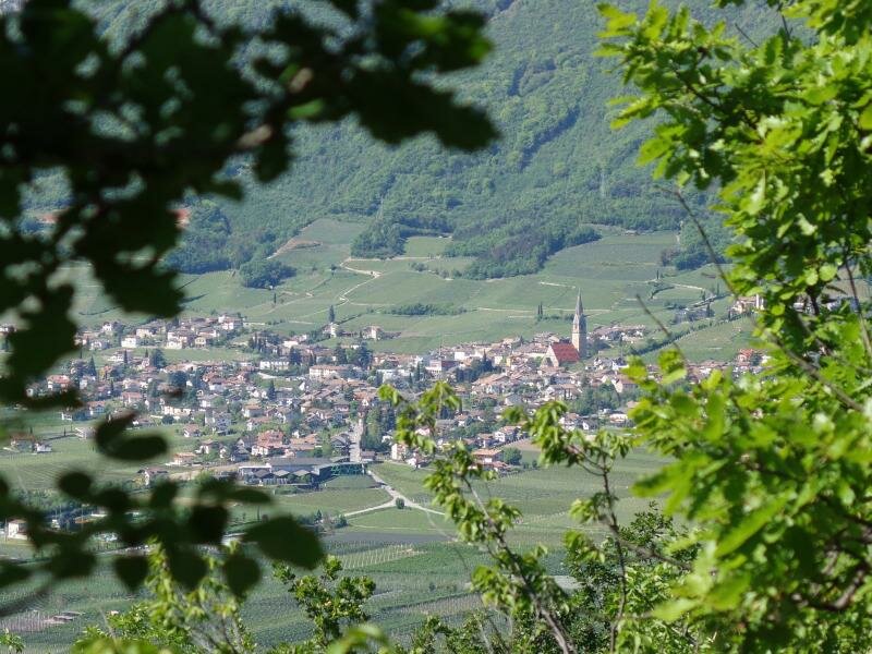
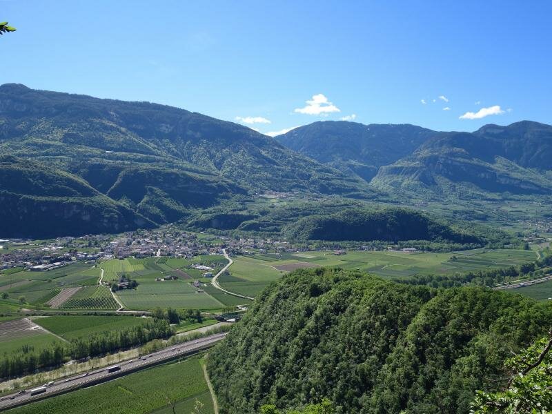
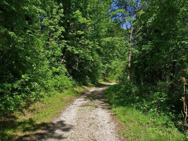
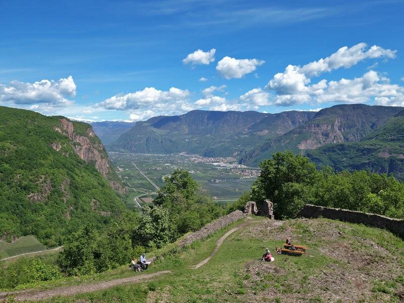
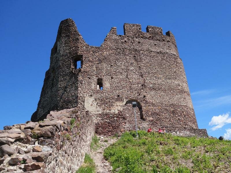
We navigate some light climbing at a few rocky spots to continue our ascent. Finally, the path joins a forest road (no. 18), which we follow slightly downhill. It leads to a junction with trail no. 18a. We hike up this trail to Castelchiaro (Leuchtenburg). An iron staircase leads into the interior of the castle complex. From the fortress wall, we enjoy the wide view over Caldaro and Lake Caldaro.
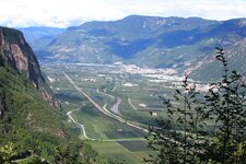
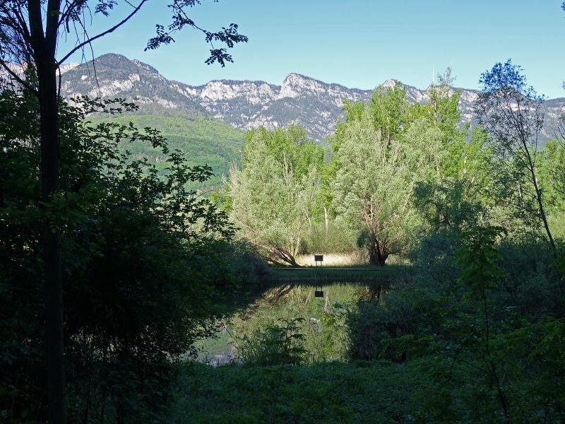
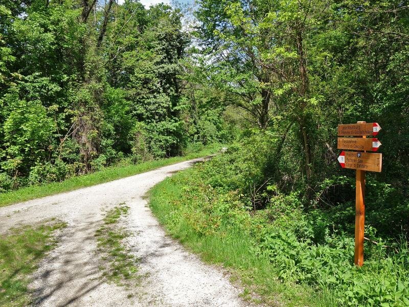
Even the provincial capital of Bolzano can be seen from here. After a rest and some exploration (please be careful!), we start our journey back. We follow the same path downhill to the junction and then continue heading north. Eventually, trail no. 18 brings us back to Campi al Lago. This area is also home to the Hot Air Springs, which are an interesting natural phenomenon.
Author: AT
Experienced: April 2019
Last updated: 2026
-
- Starting point:
- parking space south of Campi al Lago at Lake Caldaro (212 m a.s.l.)
-
- Overall time:
- 03:00 h
-
- Total route length:
- 9,4 km
-
- Altitude:
- from 212 m to 545 m
-
- Altitude difference (uphill | downhill):
- +412 m | -412 m
-
- Signposts:
- "Seerundweg", no. 18c, 18, 18a, 18,
-
- Destination:
- Castelchiaro (545 m a.s.l.)
-
- Resting points:
- rest points in Campi al Lago
-
- Recommended time of year:
- Jan Feb Mar Apr May Jun Jul Aug Sep Oct Nov Dec
-
- Download GPX track:
- Spring hike to the Castelchiaro Fortress
-
- More information:
- The overall time shown above refers to the walking time only, not including breaks or stops.
If you want to undertake this hike, we recommend checking the weather and trail conditions in advance and on site before starting this hike!