Circular hike on the sunny Renon plateau from Soprabolzano to Auna di Sopra and back via the Riggermoos
Image gallery: Hike on the Schelmsteig path to Auna di Sopra
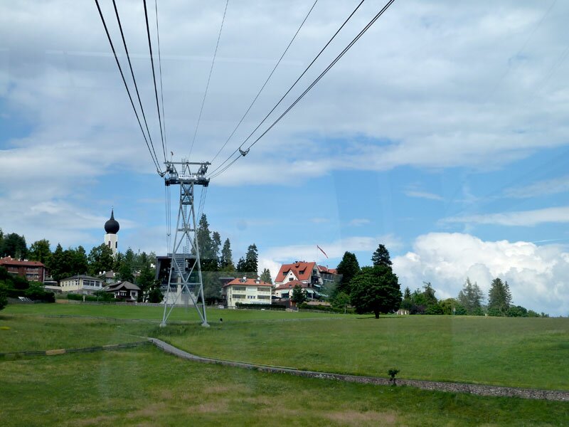
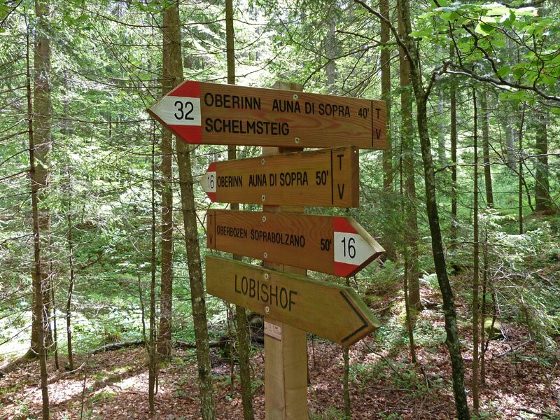
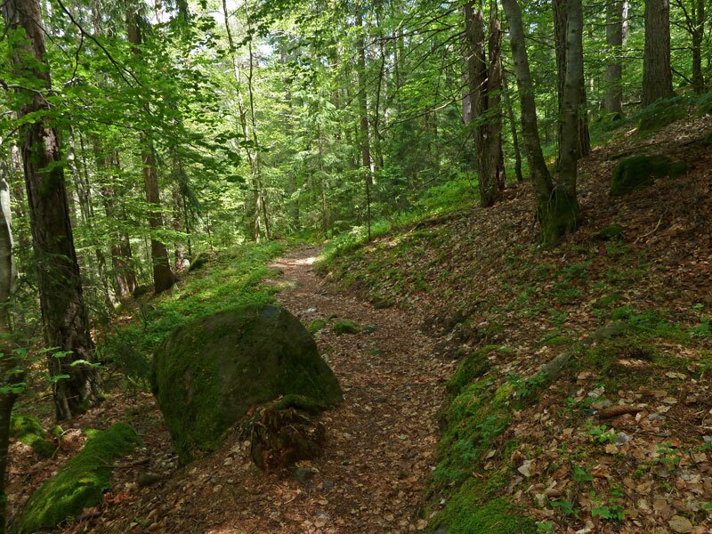
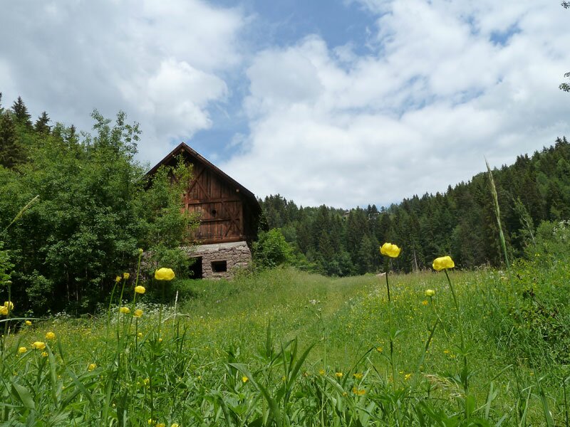
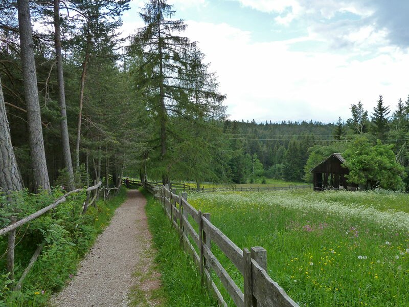
In Soprabolzano, easily reached from Bolzano by the Renon Cable Car, we follow signpost no. 2. This leads us to the Lobishof at an altitude of 1,256 metres. We walk along the edge of the village on small paved roads, then continue on the pleasant promenade path no. 16 through the forest.
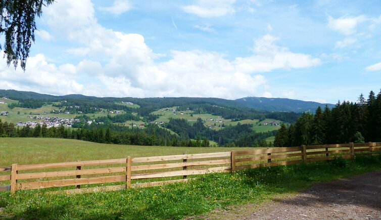
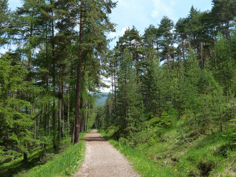
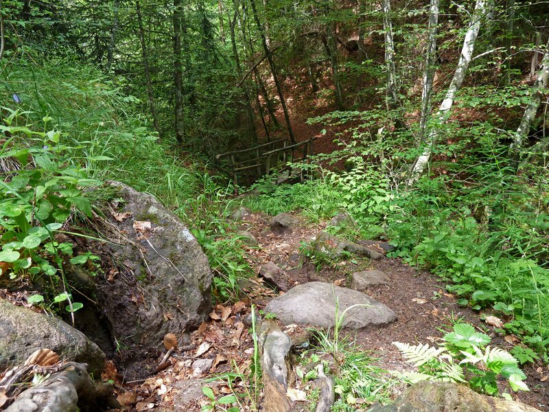
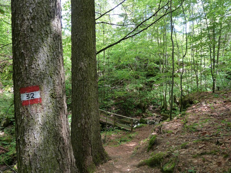
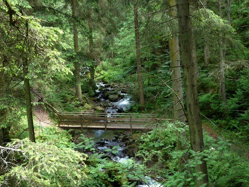
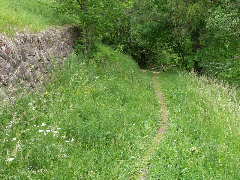
Here we continue our hike towards Auna di Sopra and soon turn left onto path no. 32. This route is the Schelmsteig, a visually varied hiking trail on the sunny Renon plateau. It promises to be an interesting walk, as a narrow and partly stony path leads us through three small gorges.
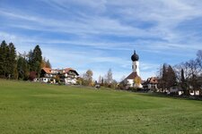
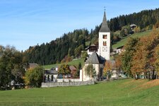
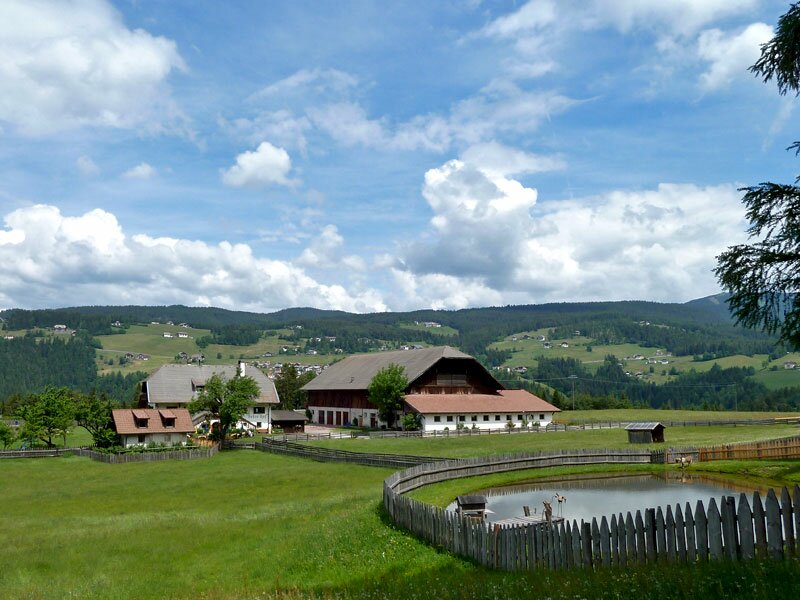
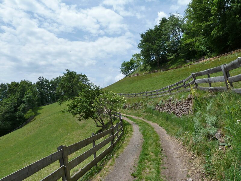
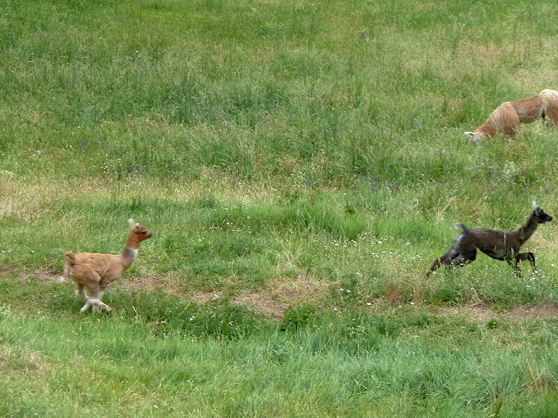
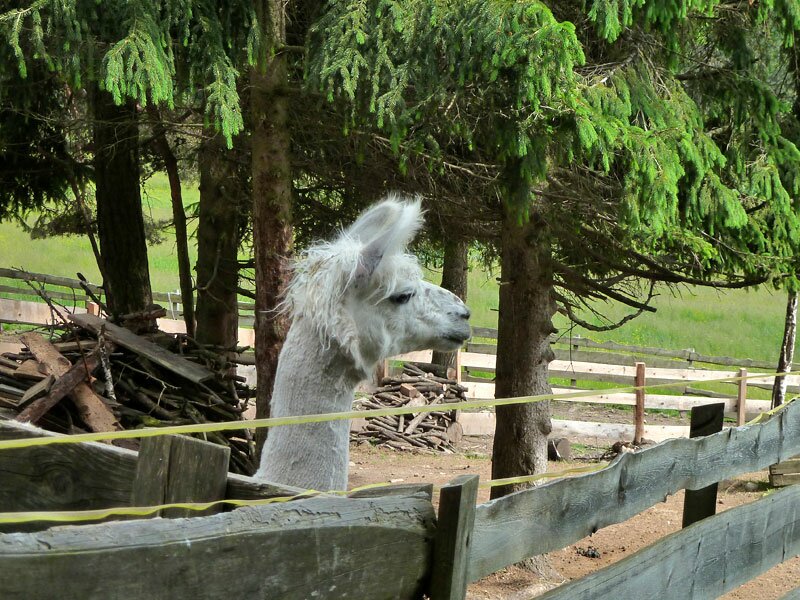
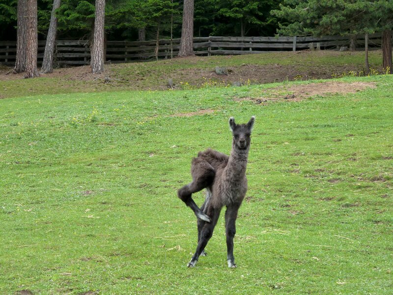
After an hour and a half, we reach Auna di Sopra. There are several places to stop for refreshments here. Following a short break, we continue on path no. 17 past the Weber inn to reach the Riggermoos. On the final section, which takes us back from the Riggermoos to Soprabolzano via path no. 6, we spot a herd of llamas at the Kaserhof.
Llama trekking and walks are available here - this South American camel species seems to feel right at home on the Renon. After three and a half hours, we arrive back in Soprabolzano.
Author: AT
Experienced: June 2011
Last updated: 2026
-
- Starting point:
- mountain station of the Renon Cable Car in Soprabolzano
-
- Overall time:
- 03:30 h
-
- Total route length:
- 11,9 km
-
- Altitude:
- from 1.172 m to 1.371 m
-
- Altitude difference (uphill | downhill):
- +344 m | -344 m
-
- Signposts:
- no. 2, 16, 32, 32B, 17, 6
-
- Destination:
- Auna di Sopra (1,300 m a.s.l.)
-
- Resting points:
- Lobishof, Weber inn, Kaserhof, bars and coffee shops in Soprabolzano and Auna di Sopra
-
- Recommended time of year:
- Jan Feb Mar Apr May Jun Jul Aug Sep Oct Nov Dec
-
- Download GPX track:
- Hike on the Schelmsteig path to Auna di Sopra
-
- More information:
- The overall time shown above refers to the walking time only, not including breaks or stops.
If you want to undertake this hike, we recommend checking the weather and trail conditions in advance and on site before starting this hike!