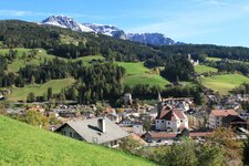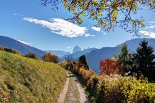
Starting at Sarentino this walking tour proceeds until the foot of the Monte Ivigna and the Cima Laste di Verdins
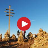
Image gallery: Hike to the “Stone Men”
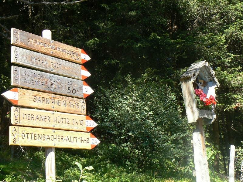
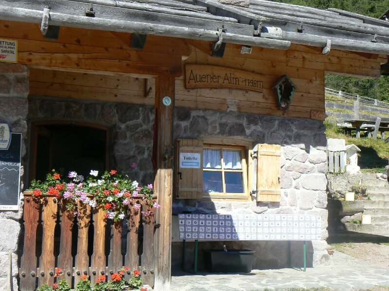
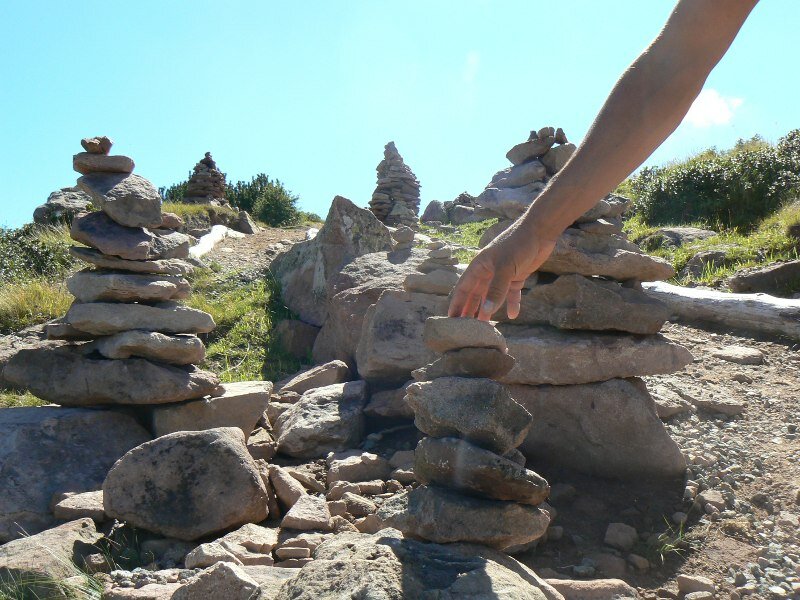
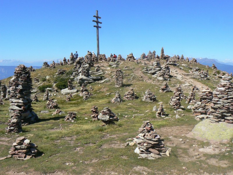


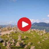
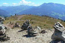
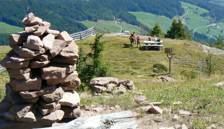
On a sunny morning in August we decide to to this mountain hike to the so called “Stoanernen Mandln” / Rocky Men. We leave our car at the Sarentino mountain hut (approx. 1,600 m asl.), accessible from Sarentino via the road to Prati/Auen, and take the marker no. 2. Already 20 minutes later we arrive at the Malga Prati (mountain hut), on the left the rocky men are already in sight. But there is still a steep part to walk, from time to time we are accompanied by cows. We reach the first crossroads, on the right the path proceeds towards the Rifugio Merano (mountain hut), on the left to the rocky men which we will reach within the next half hour. We decide to walk first to the rocky men and do also the hike to the Rif. Merano later. The view on the surrounding mountains is gorgeous. The famous rocky men are located at 2,003 m asl.
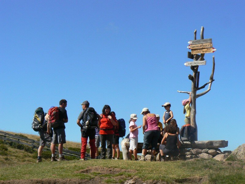
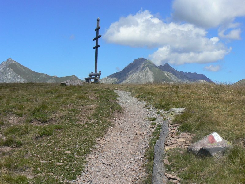
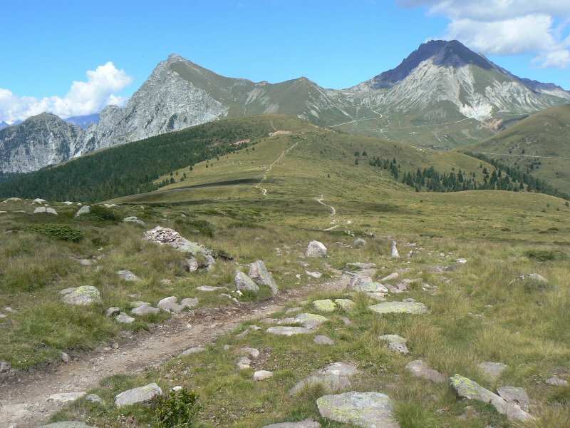
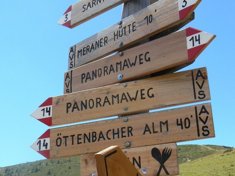
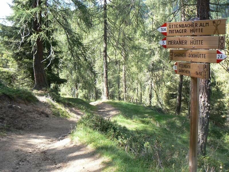
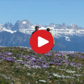
They are considered to be one of the biggest "assembly" of this type in the Alpine region and it is known that already around 1540 such formations of sandstone were found. After a short rest we aim for our second goal today, the Merano mountain hut. We proceed via the path no. 4 and the European long-distance way E5, the last steep section follows. The weather is perfect today, no clouds darken the visibility, so we can enjoy the fantastic view from the Passo della Croce on the Monte Ivigna and Monte Cervina. The path is quite flat and about 2 hours walk later, we reach the Rif. Merano at the foot of the Monte Ivigna, the Cima Laste di Verdins and the Monte Catino. We have brought our own food and decide to do a picnic among the shades of the trees.
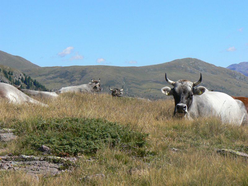
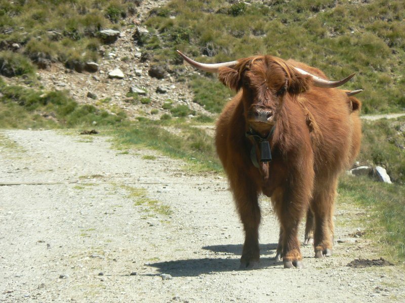
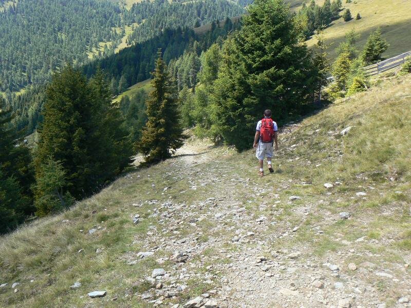
So we follow the panoramic path no. 14 towards the Öttenbacher mountain hut which is our last goal for today. We are accompanied by Highland cattle and cows and take a few really nice photos. Arrived at the Öttenbacher mountain hut we follow the path no. 10A back to the Rifugio Sarentino. 1.25 hours of walking are still ahead of us. The path proceeds steeply downhill and leads us straight to our starting point on the other side of the valley. After this long walking tour we really deserve a rest at the Rifugio Sarentino now. The owners allure us with typical homemade delicacies of the Val Sarentino. On the sun terrace we think back on our beautiful hike. That's life!
Suitable for families? Yes! The path to the rocky men is very suitable for children. The not too long walking time is ideal. Trained kids can also make the whole trip, it is not difficult but it is quite long to walk.
Author: ED
-
- Starting point:
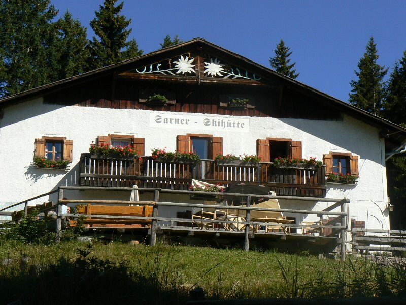
- Rifugio Sarentino, Val Sarentino
-
- Overall time:
- 05:00 h
-
- Total route length:
- 17,2 km
-
- Altitude:
- from 1.610 m to 2.083 m
-
- Altitude difference:
- +669 m | -669 m
-
- Route:
- Rifugio Sarentino / Sarner Skihütte, Malga Prati / Auener Alm, Stoanerne Mandln, Rifugio Merano, Öttenbacher Alm, Rifugio Sarentino
-
- Signposts:
- 2, 11, 4, E5, 14, 10A, 15, 2A
-
- Destination:
- Stoanerne Mandln / Omini di Pietra
-
- Resting points:
- Malga Prati / Auener Alm, Rifugio Merano, Öttenbacher Alm
-
- Recommended time of year:
- Jan Feb Mar Apr May Jun Jul Aug Sep Oct Nov Dec
-
- Download GPX track:
- Hike to the “Stone Men”
If you want to do this hike, we suggest you to check the weather and trail conditions in advance and on site before setting out.