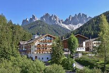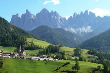
From the Malga Zannes (Zanser Alm) in the Val di Funes valley we start our walking tour to the Dolomites
Image gallery: Hike to the Col di Poma in the Funes Valley
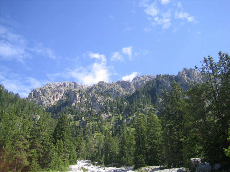
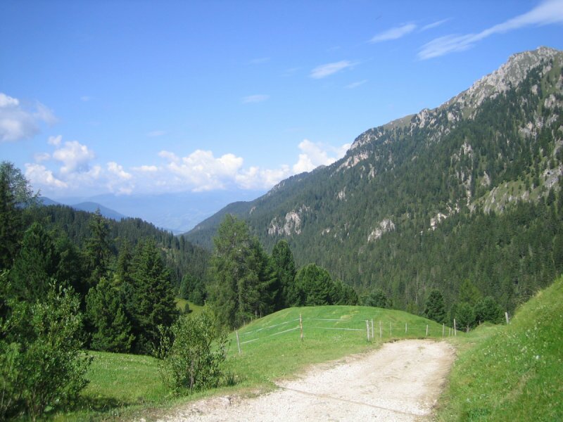
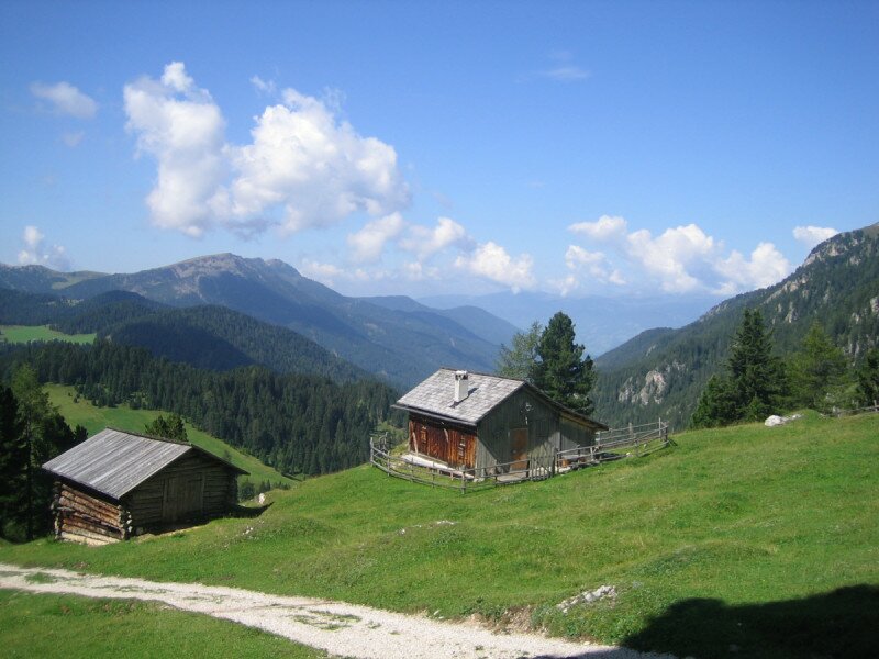
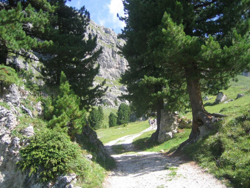
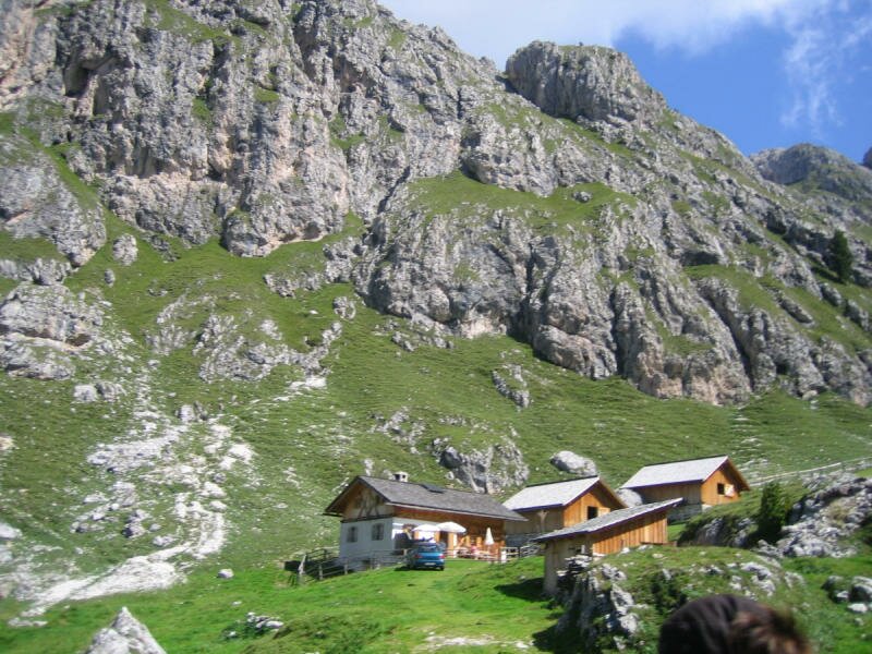
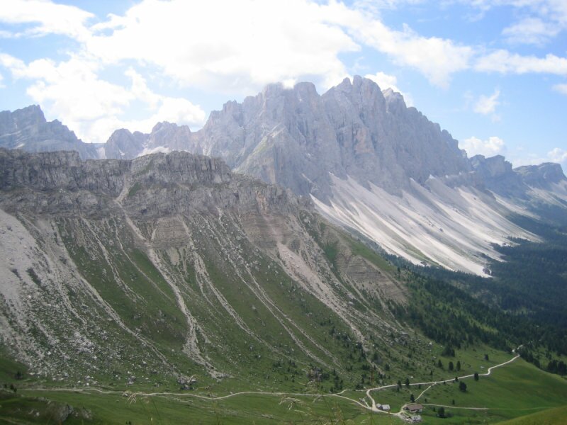
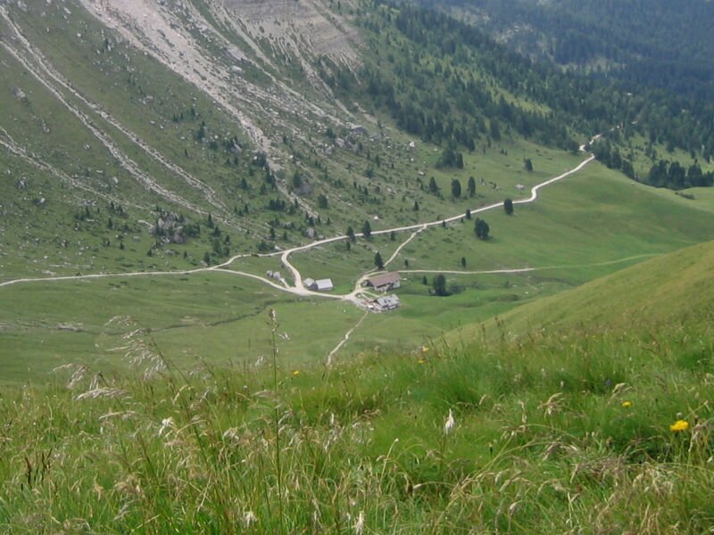
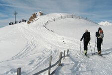
In the back part of the Val di Funes which is a tributary valley of the Valle Isarco our starting point is located. At 1,679 m a.s.l. we park our car (chargeable parking space) and start our walk to the alpine world of the Dolomites. Along the path no. 6 we walk towards Ciancenon until the nature trail where we turn off left. At the first crossing we keep straight on before we turn off right to the path no. 25 until we reach a small meadow, the so-called "Kirchwiesl" at 1,836 m. The refreshing chill of the Dolomites surrounds us. Along the path no. 32 we proceed towards the Malga Kaserill (mountain hut) at 1,936 m - the first possibility for a rest stop - and further to the Rifugio Wörndlejoch mountain hut at 2,143 m.
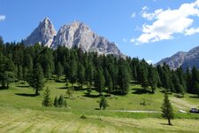
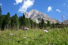
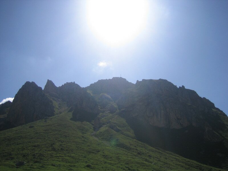
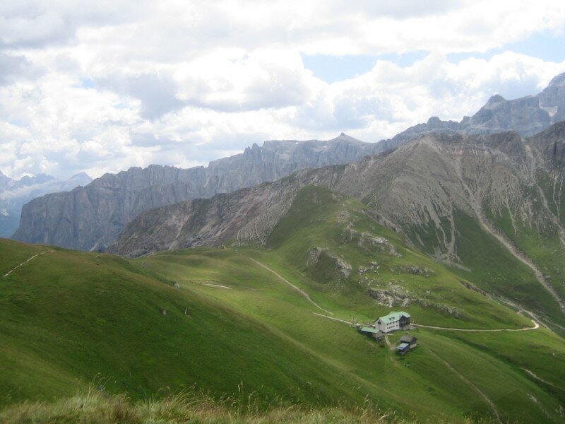
This section is steep and difficult to walk, but due to our early start in the morning we have plenty of time and can enjoy the gorgeous view again and again. From the Rif. Wörndlejoch we walk across the meadows on the hillside until we reach the summit cross of the Col di Poma mountain (Zendleser Kofel) at 2,422 m. This part has to be walked cross country, for those who don't feel so sure in this area, the landlord of the mountain hut explains the right way, we also asked him. Arrived at the summit cross a stunning panoramic view awaits us, all the struggle is forgotten. A whistle indicates that marmots live here, unfortunately we can only catch sight of them afar...
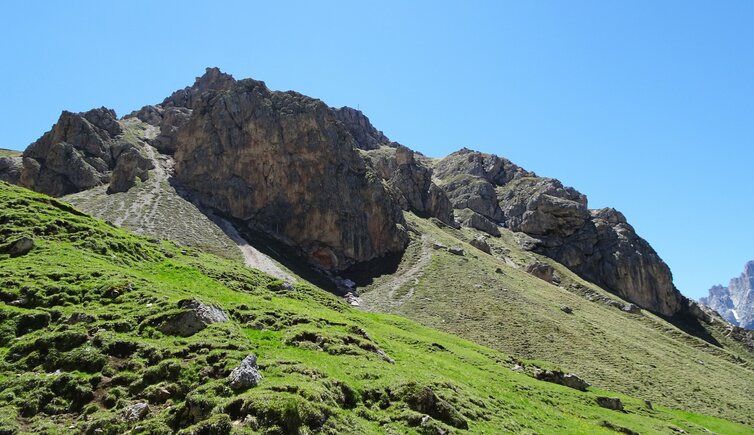
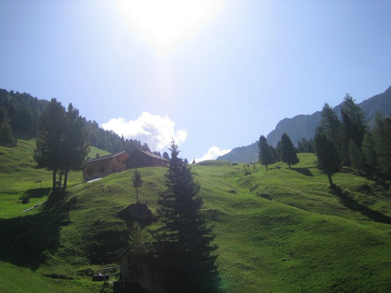
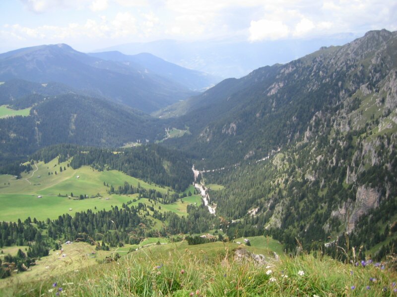
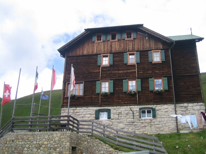
After a short rest we start downwards to the Passo Pomo mountain (Kreuzkofeljoch) at 2,344 m. and further along the path no. 7.35 until the Rifugio Genova mountain hut (Schlüterhütte) where we then proceed towards the Malga Gampen mountain hut at 2,068 m. Within this short section we already managed 400 altitude meters of our descent. The last part of our walk we proceed along the path no. 35 towards Ciancenon until we reach a bigger place. Here the path no. 6 turns off right which leads us back to our starting point, the Malga Zannes. There are several possibilities to stop by: Kaserill (1,936 m), Wörndlejoch (2,143 m), Rifugio Genova (2,303 m) and Malga Gampen (2,068 m). The view from the Col di Poma is really fantastic!
Author: MC
-
- Starting point:
- Malga Zannes, Val di Funes
-
- Overall time:
- 05:00 h
-
- Total route length:
- 10,6 km
-
- Altitude:
- from 1.676 m to 2.421 m
-
- Altitude difference:
- +745 m | -745 m
-
- Signposts:
- 6, 25, 32, 33, 7.35, 35
-
- Destination:
- Col di Poma / Zendleser Kofel, 2422 m
-
- Resting points:
- Kaserill, Wörndleloch, Rifugio Genova / Schlüterhütte, Gampen Alm
-
- Recommended time of year:
- Jan Feb Mar Apr May Jun Jul Aug Sep Oct Nov Dec
-
- Download GPX track:
- Hike to the Col di Poma in the Funes Valley
If you want to do this hike, we suggest you to check the weather and trail conditions in advance and on site before setting out.