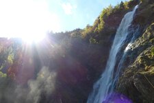
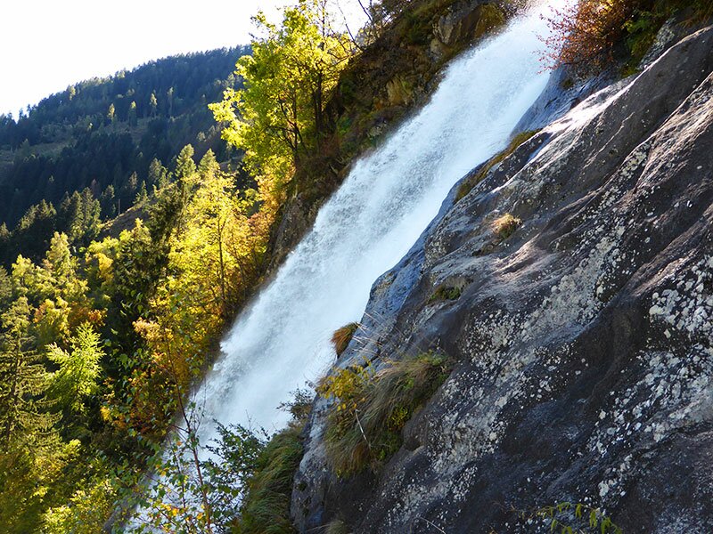
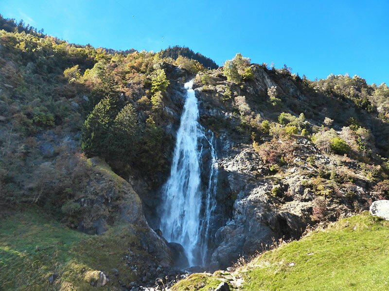
Over the Monte Sole di Parcines to Tablà and on to the famous natural spectacle in the Val di Tel: the Parcines Waterfall
Image gallery: Hike to the Parcines Waterfall
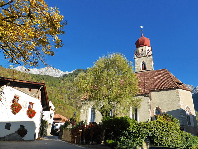
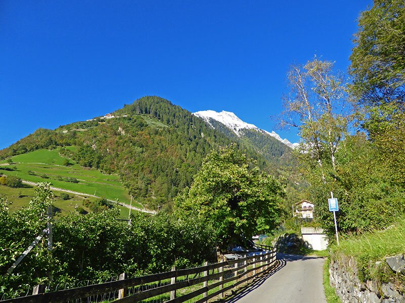
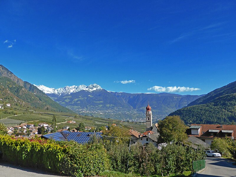
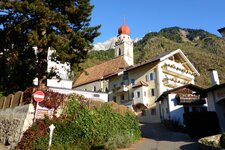
It is a sunny autumn day when we choose the Monte Sole di Parcines and its famous waterfall for our hike. From the village centre of Parcines, the road first leads into the Val di Tel valley (Zieltal). Then we turn right and follow the signpost to the Parcines Waalweg path.
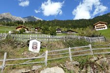
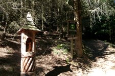
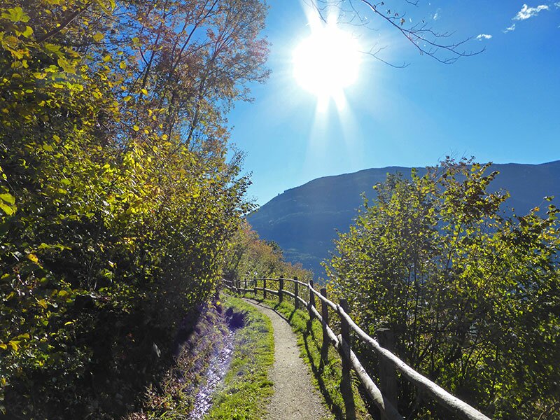
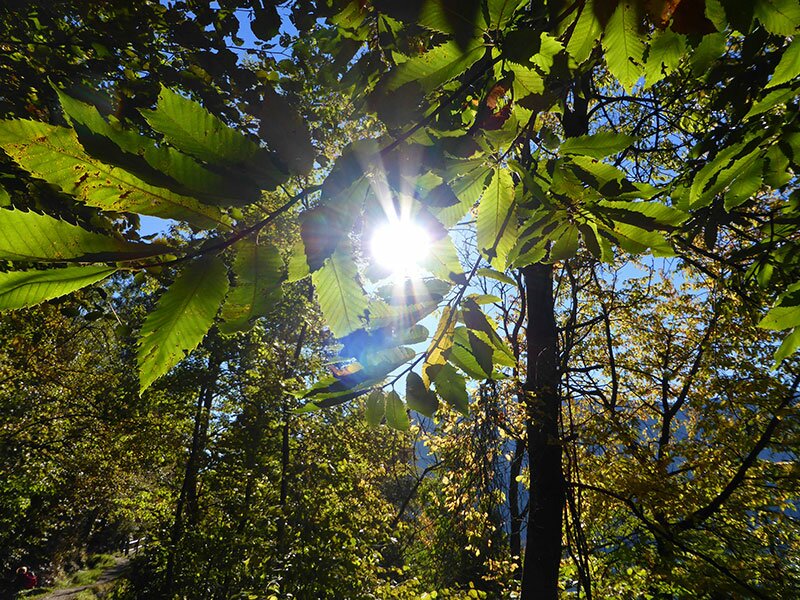
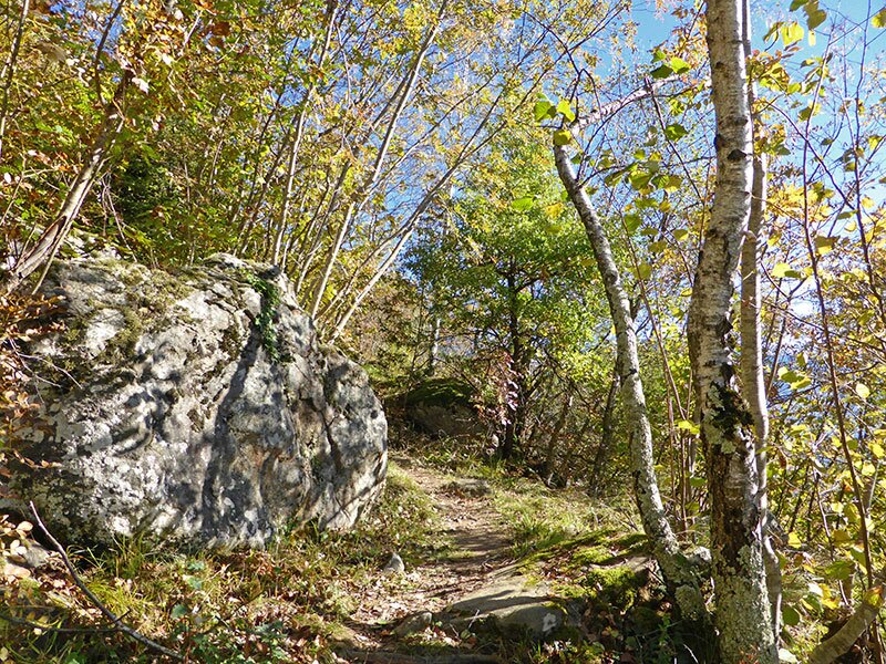
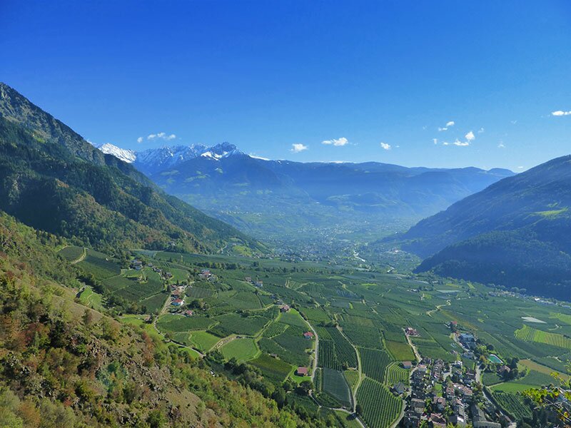
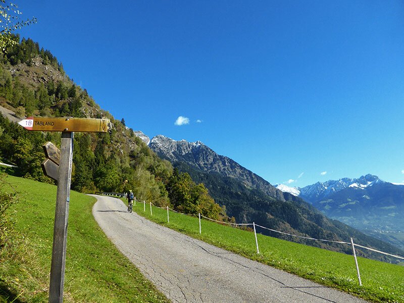
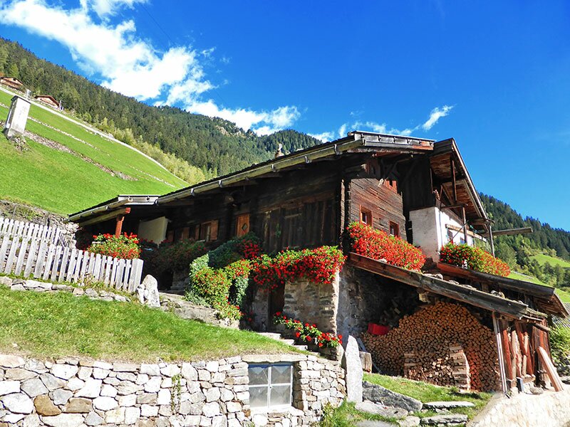
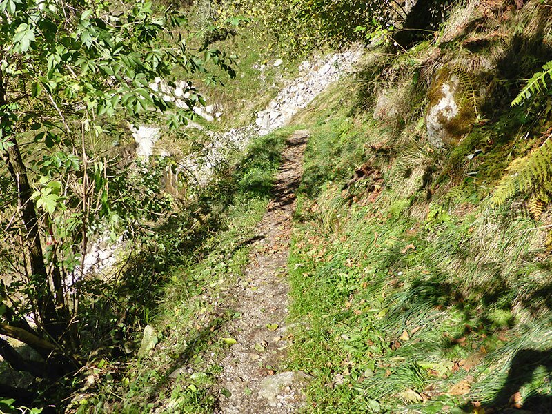
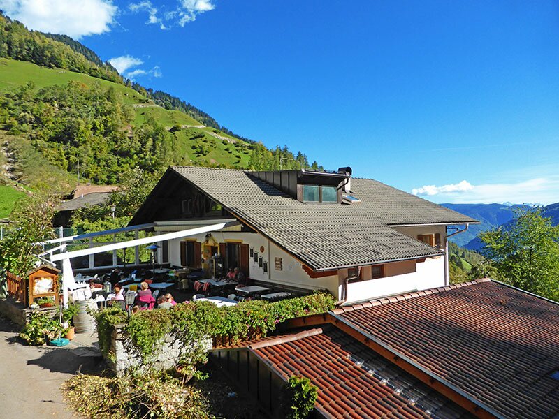
After barely a kilometre, the path to Tablà branches off to the left ("Sagenweg"). On the narrow, sometimes steeply ascending path, we hike through deciduous and mixed forest into the hamlet of Tablà - Monte Sole, where we take a break at the Prünster inn. The view over the valley and the foothills of the Ortles Alps opposite is wonderful. Afterwards, we follow the "Wasserfall" signpost.
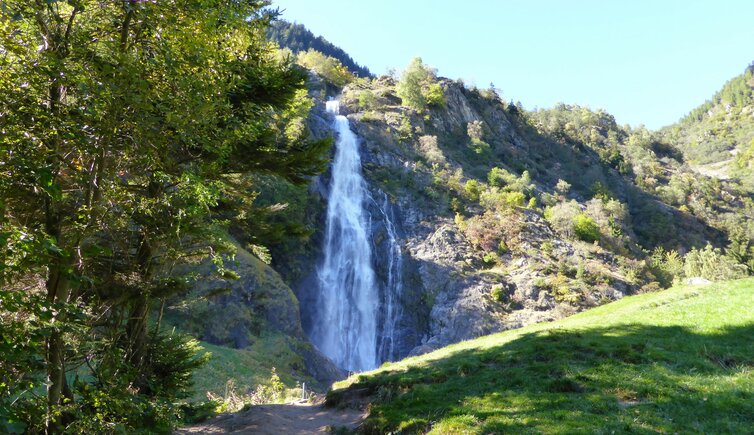
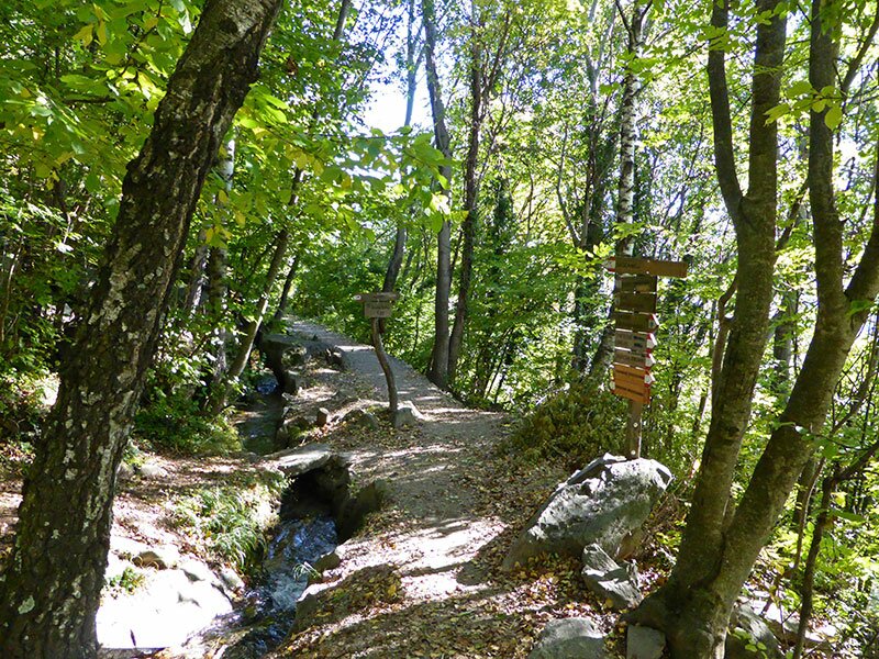
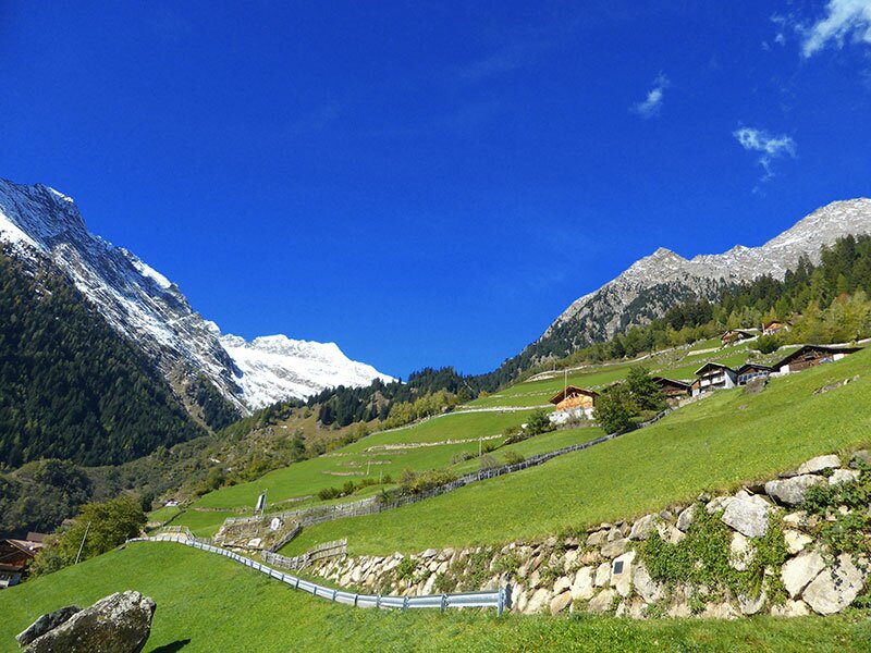
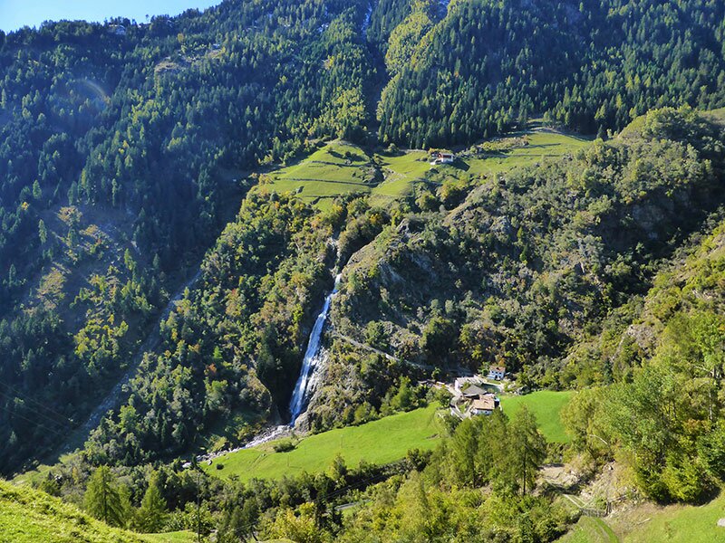
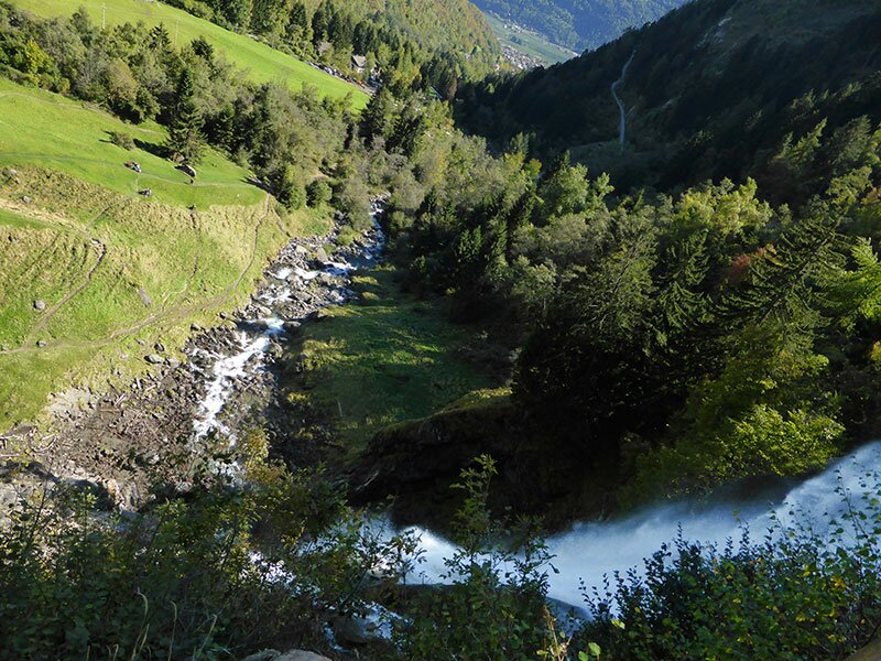
We head down into the Val di Tel in the Gruppo di Tessa Nature Park until we reach the Wasserfall inn. From there, it is only a few minutes to the viewpoint directly below the almost 100-metre-high cascade. To complete the circular hike, we descend on the direct path to Parcines.
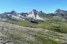
The lower section runs along the asphalt road. We pass the chestnut trees near the village and reach Parcines again after three hours. By the way, the Parcines Waterfall is the starting point for the demanding tour up to the Cima Fiammante Hut at an altitude of 2,259 metres.
Author: AT
Experienced: October 2013
Last updated: 2026
-
- Starting point:
- village centre of Parcines (643 m a.s.l.)
-
- Overall time:
- 03:00 h
-
- Total route length:
- 7,9 km
-
- Altitude:
- from 643 m to 1.203 m
-
- Altitude difference (uphill | downhill):
- +619 m | -619 m
-
- Signposts:
- "Wasserfall" (waterfall), "Partschinser Waalweg", "Sagenweg", no. 1, 23, 8b, 8, 1
-
- Resting points:
- Prünster inn, Wasserfall inn, Birkenwald inn
-
- Recommended time of year:
- Jan Feb Mar Apr May Jun Jul Aug Sep Oct Nov Dec
-
- Download GPX track:
- Hike to the Parcines Waterfall
-
- More information:
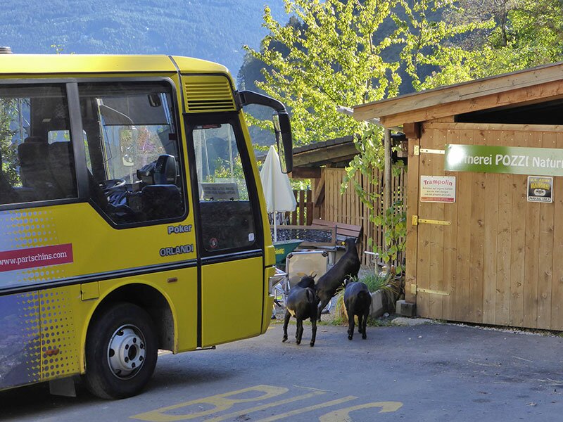
- The overall time shown above refers to the walking time only, not including breaks or stops. The highest point of the walk is the Prünster inn on the Parcines High Route, at an altitude of 1,200 metres. If you'd like to see the Parcines Waterfall without going for a walk, bus route no. 265 (Rablà - Parcines - Waterfall) runs every half hour or hourly during the warmer months from Parcines village to the waterfall (a 16-minute journey).
If you want to undertake this hike, we recommend checking the weather and trail conditions in advance and on site before starting this hike!